

- How America’s Hurricane Season Has Changed in the Last 30 Years, in 8 Numbers - August 19, 2026
- The Real Reason Droughts Keep Coming Back – And It’s Not Just Rainfall - August 18, 2026
- The 6-Point Checklist Foresters Use to Decide If a Community Is Wildfire-Safe - August 18, 2026
Alaska’s interior: where winter always arrives first
ChatGPT started where most meteorologists would, in the far north. The earliest first snowfall dates occur in the Arctic region, and in Utqiagvik, snowfall has even been observed during the summer months. Across the rest of the state, the mean first snowfall date falls between late September and early November, with locations in the Interior and farther north seeing earlier snow than coastal or southern areas.
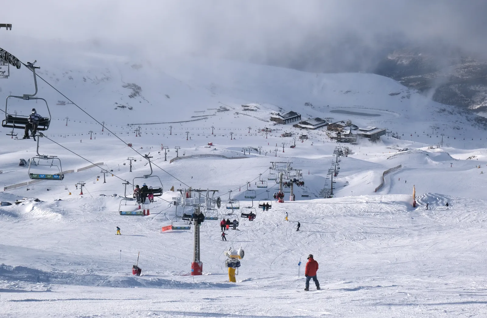
Last September gave a real-world preview of that pattern. Snowfall was reported along the Eastern Alaska Range, including Isabel Pass, where upwards of 7 inches fell, prompting a Winter Weather Advisory and difficult travel along the Richardson Highway. Anchorage typically sees its first freeze around September 24, while Fairbanks normally sees its first freeze in the first week of September. Interior Alaska simply runs on its own clock, one that starts well before the rest of North America even thinks about scarves.
Montana, Wyoming and Idaho: the northern Rockies get moving early
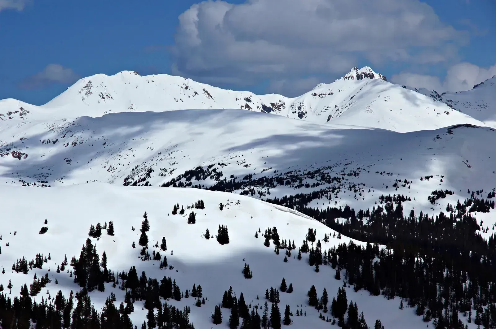
Right behind Alaska on ChatGPT’s list came the northern Rockies, a region where elevation does most of the heavy lifting. The highest peaks of the Rockies can see snow as early as late summer, and by September the Washington Cascades, the Bitterroot Mountains along the Idaho-Montana border, the highest Colorado peaks, and the western High Plains typically see their first flakes. That’s not a fluke year, that’s the average.
The northern Rockies follow close behind Alaska, with Montana and Wyoming residents typically seeing snow by late September or early October, while Idaho’s higher elevations also pick up early season flurries during this window. This year’s emerging El Niño pattern complicates the picture slightly, since El Niño winters tend to push the storm track farther south than a typical La Niña season did last year, but the earliest dustings at elevation rarely wait for the ocean to make up its mind.
Colorado’s high peaks: snow before Labor Day
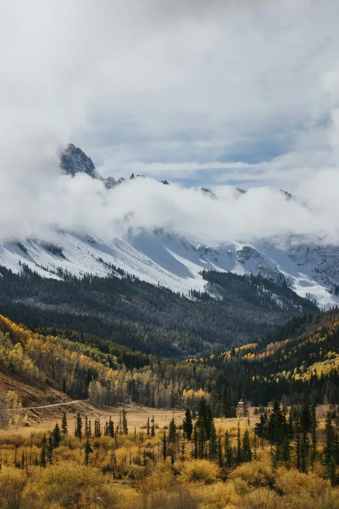
Colorado gets its own entry because the state’s ski towns essentially treat early snow as a competitive sport. Colorado’s first snowfall typically arrives in the mountains by early September, with Pikes Peak receiving snow on September 5 in a recent season, and resorts including Arapahoe Basin, Loveland, Aspen Snowmass, and Telluride reporting their first snowfall around mid-September. That’s roughly a full season ahead of most American cities.
Ski resorts compete to claim first to open status each year, and historically the early contenders are Arapahoe Basin and Loveland in Colorado, thanks to their high elevation and snowmaking capabilities. Lower elevations wait longer, with Denver typically seeing its first snow around October 18 even while the peaks above town have already turned white weeks earlier.
The Cascades and inland Pacific Northwest ranges
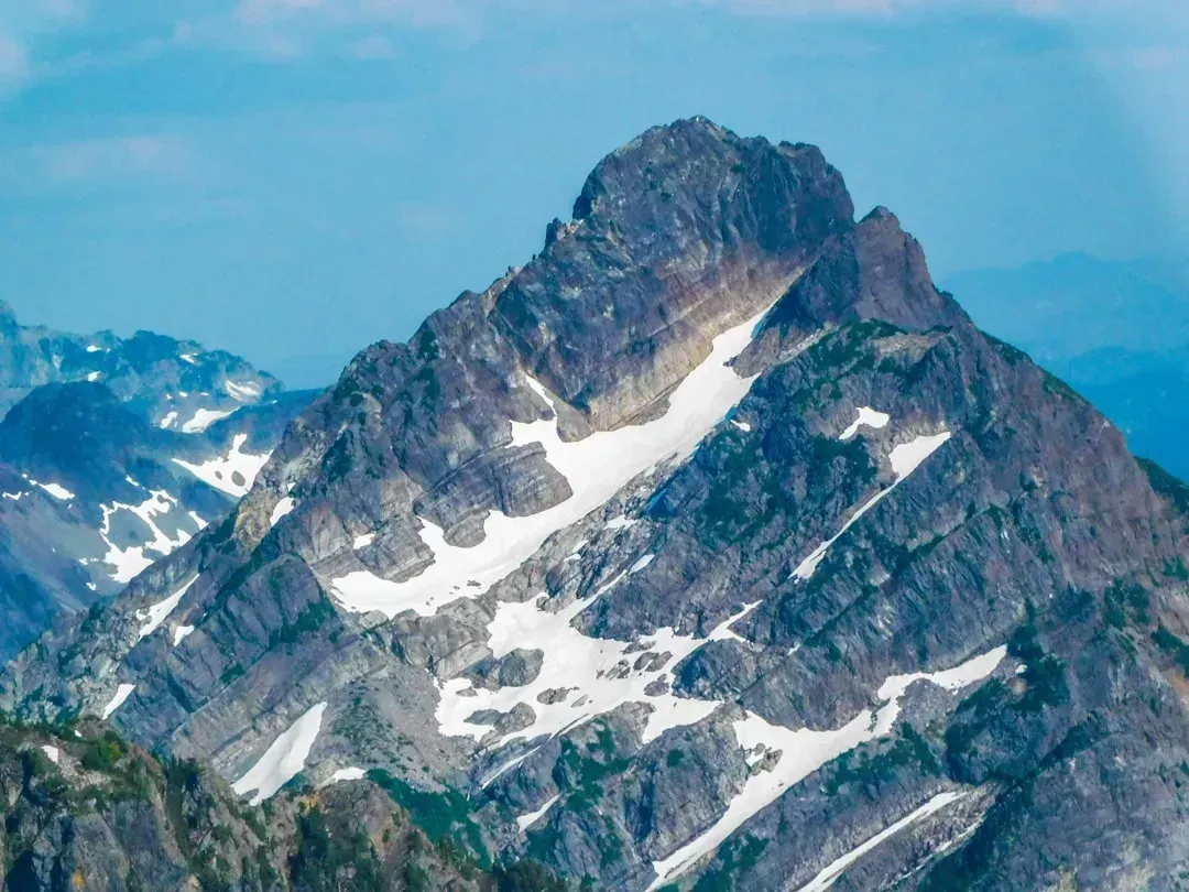
Moving west, ChatGPT flagged the Cascades as another early arrival zone, largely thanks to their height and their exposure to Pacific moisture. The Washington Cascades see their first flakes in an average September, alongside the highest peaks of the Rockies and the western High Plains. That timing has held fairly steady across recent years regardless of the broader ocean pattern in play.
What changes from year to year is how much snow follows that first dusting. Resorts in the Northern Rockies and Northern High Plains are expected to see above average snowfall in a La Niña winter, while snowfall predictions for the Pacific Northwest tend to be more of a coin flip. With El Niño now taking over for the coming winter, the region’s storm track is likely to behave differently than it did during last year’s La Niña season, though the first flakes on the highest ridgelines should still show up on schedule.
Sierra Nevada: California’s early season dustings
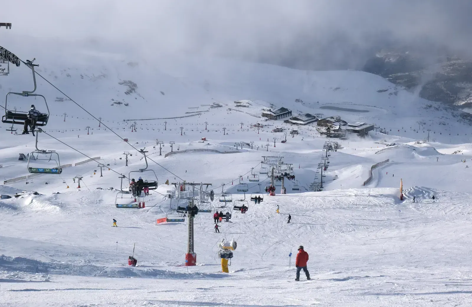
It surprises a lot of people that California gets snow before most of the East Coast does. The first snows of the season generally fall in early to mid October in areas like the Rocky Mountains and Sierra Nevada. The high passes above Lake Tahoe and along the eastern Sierra crest are usually the first part of the state to see accumulation.
Some years push that timeline even earlier. September snow is rare and mostly confined to extreme peaks across Montana, Wyoming, and Colorado, though occasional early dustings do occur in the Sierra Nevada or Utah’s high country. Given how the developing El Niño pattern tends to favor wetter conditions across the southern half of the West, California’s mountains could see an active, if not necessarily earlier, start to the season.
Great Lakes and Upper Midwest: lake effect gets a head start
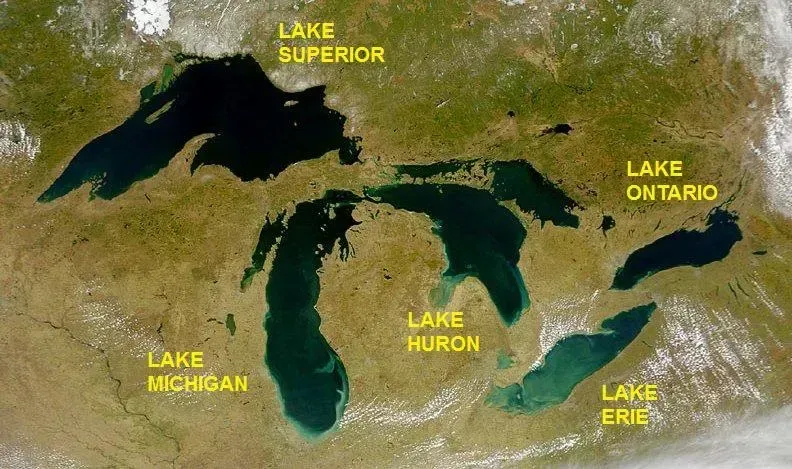
The Great Lakes region earns its spot on this list for a very specific reason: cold air moving over relatively warm lake water. NOAA’s seasonal outlook has repeatedly flagged the Great Lakes as an area prone to strong lake-effect snow events during Arctic outbreaks, once the northern US and southern Canada turn colder than average. That mechanism can produce heavy localized snow well before most of the interior Midwest sees its first flakes.
In the Midwest and Plains, areas from Michigan and northern Ohio into the Dakotas, western and northern Kansas, and the Texas and Oklahoma panhandles typically see their first snow during October in an average year. Lake-effect bands near Lake Superior and eastern Lake Michigan frequently beat that regional average by weeks, simply because the lake water hasn’t cooled down yet when the first cold snaps arrive.
Northern New England and the interior Northeast
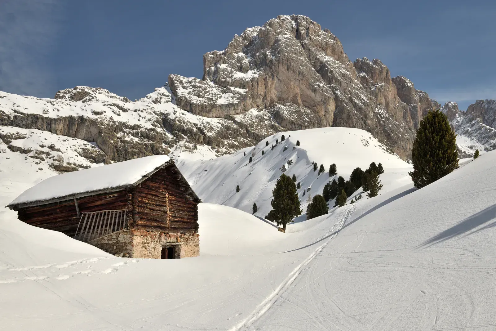
New England’s mountains and interior valleys tend to get snow well before the coastal cities most people associate with a snowy Northeast. In the Northeast, the season’s first snow typically occurs in October in northern and western New England, upstate New York, and from the higher elevations of central and western Pennsylvania down into the central Appalachians. That’s a meaningful head start over the region’s biggest population centers.
The coast, by contrast, waits considerably longer. Most of the rest of the interior Northeast joins in during November, while the Interstate 95 corridor from New York City to Virginia typically waits until December to see its first accumulating snowfall of the season. Last season, the region above that corridor already stood out, with Northern New England picking up above-average snowfall while much of the West saw closer to normal totals.
Western Canada: cold air pools early
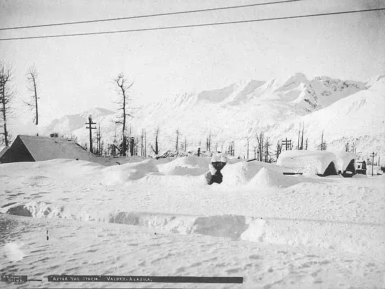
Just across the border, western Canada often sets the stage for what eventually spills south into the northern US. Weak La Niña winters have historically shown consistent cold anomalies in western Canada, the Pacific Northwest, and the Upper Midwest, with those same regions tending to see above-average snowfall when Pacific moisture interacts with the cold air. Even outside a La Niña year, this is simply where Arctic air tends to pool first each autumn.
The mechanics behind that pattern involve the jet stream more than any single storm. A strong blocking high-pressure system often sets up in the North Pacific alongside a low-pressure area over Canada, redirecting the polar jet stream down into the northern US and allowing cold spills into the central and eastern states. That setup is a big part of why the northern Plains and Rockies so consistently beat everyone else to the season’s first real cold snap.
Siberia and northern China: Asia’s earliest flakes
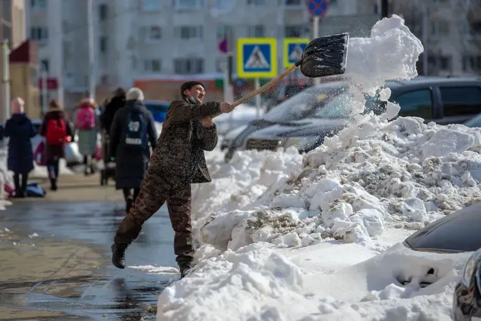
ChatGPT’s answer wasn’t limited to North America, and Siberia came up quickly as a global counterpart to Alaska’s Interior. Parts of Siberia and northern China have tended to see stronger cold waves and increased snow depth tied to enhanced Arctic air flow during recent La Niña winters. Latitude and continental interior climate do most of the work here, much like in interior Alaska.
These regions rarely wait for a specific global pattern to deliver their first snow, since the sheer distance from any moderating ocean influence keeps things cold early. That said, the broader atmospheric pattern still matters at the margins, shaping whether the season’s first cold waves arrive on the earlier or later side of normal, and whether the snow that falls sticks around or melts back quickly in a warm spell.
The Alps and Scandinavia: Europe’s early snow zones
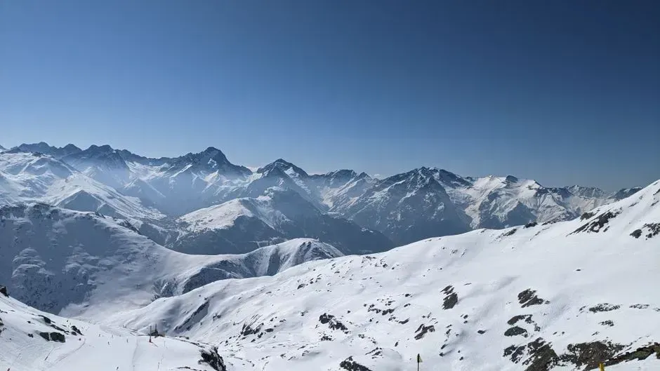
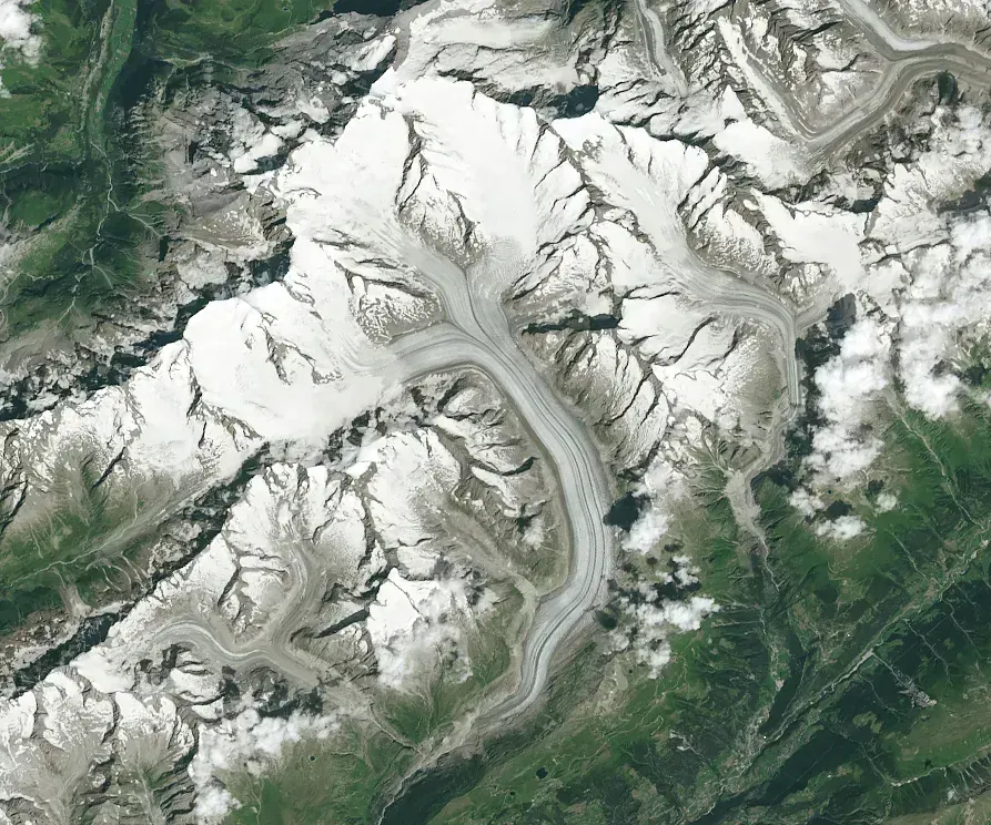
Rounding out the list, ChatGPT pointed to the higher terrain of central Europe and the far north as the continent’s earliest snow zones. Europe has recently been expected to see reduced snowfall in the west and south, with central and northern regions seeing closer to normal accumulations. The Alps and Scandinavian highlands typically hold that seasonal edge over lower-elevation western Europe regardless of the exact ENSO state.
Timing across the continent can also shift later in some seasons than North American forecasters might expect. Long-range forecasts have pointed to the peak of winter activity shifting later in the season, with February and March showing a higher probability for snow events across mid-latitude regions. For early snowfall specifically, though, the higher Alpine valleys and northern Scandinavia remain Europe’s most reliable first stop each autumn.
