

- Phantom Energy Sucking Power 24/7 – 7 Home Electronics Quietly Inflating Utility Bills - November 14, 2026
- A Million-Mile Storm Raging for Centuries – 6 Violent Weather Wonders in Our System - November 14, 2026
- Animals Flee Hours Before the Tremor – 7 Natural Warnings Before Disasters Strike - November 14, 2026
Coastal flooding used to be something people associated with the occasional big storm. That’s changing fast. Scientists tracking sea level rise, land subsidence, and tidal patterns say the next fifteen years will bring a noticeable shift in how often certain coastlines flood, and how severe those floods become. The changes aren’t uniform. Some regions face a slow creep of nuisance flooding, while others are sinking beneath their feet at the same time the ocean rises around them.
Below are five coastlines where researchers have published specific projections tied to the 2040 timeframe or the years immediately surrounding it. Each one tells a slightly different story, from sinking Gulf Coast cities to naval bases bracing for chronic tidal flooding.
The Gulf Coast of Texas and Louisiana
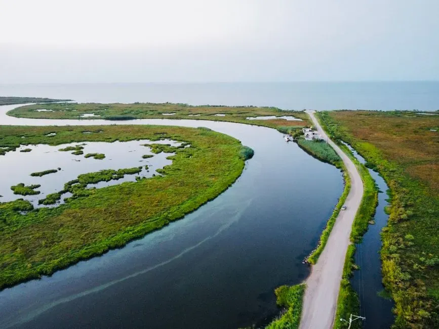
Few places illustrate the double whammy of sea level rise and sinking land better than the Texas and Louisiana coastline. Researchers from the University of Texas at Austin mapped nearly 51,000 square miles of the Texas and Louisiana Gulf Coast using advanced satellite technology and found widespread land subsidence that was previously too difficult to detect. The causes are varied, and include oil and gas production, ground water pumping and wetland degradation.
A separate peer-reviewed study published in Nature found that along the Gulf Coast, subsidence is projected to account for between about 23 to 35 percent of total inundation by 2050, a considerably higher share than on other US coastlines. That study singled out exacerbated future flooding risks in Houston-area communities such as Freeport, Galveston, Port Arthur and Texas City. Combine that with the fact that cities along the Gulf Coast are bracing for 10 to 12 inches of sea level rise by 2050, and it’s clear why flood maps in this region are being redrawn well before 2040 arrives.
Hampton Roads and the Chesapeake Bay, Virginia
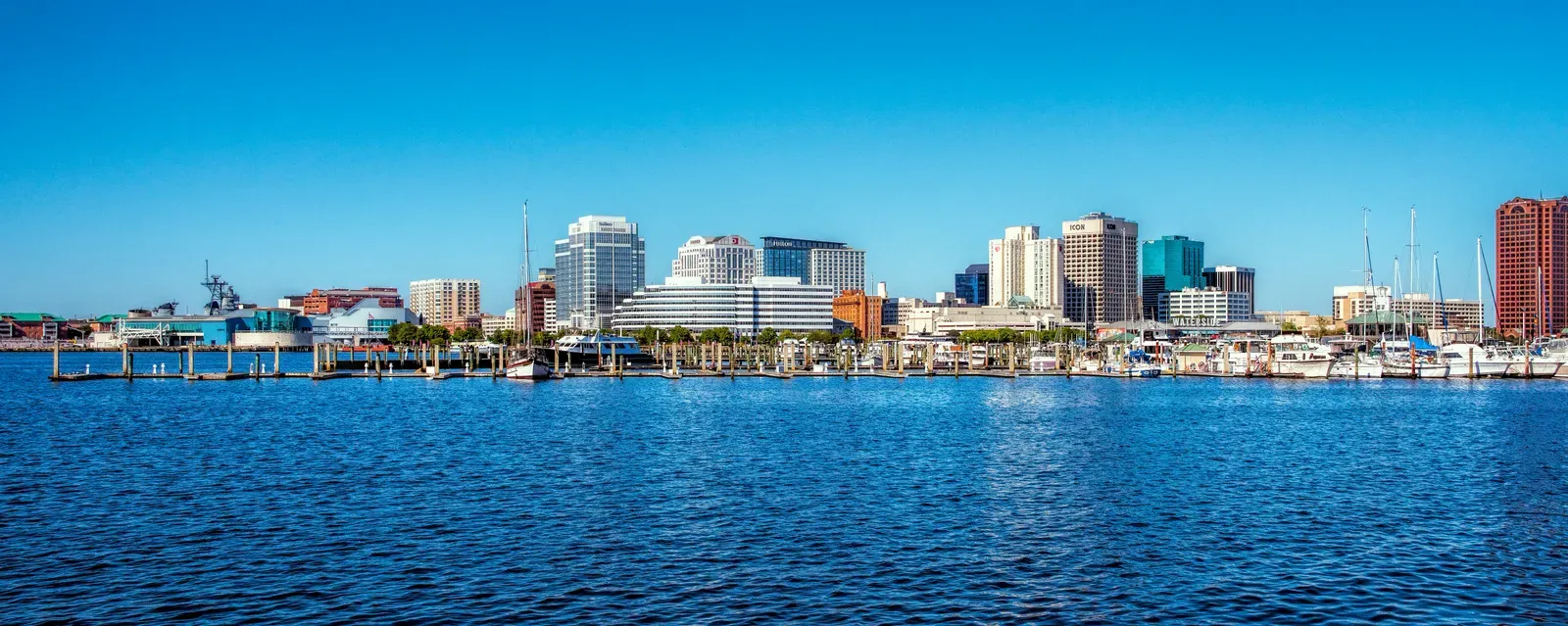
Norfolk, Virginia, sits at the center of one of the fastest-rising stretches of coastline in the country. Local flood resilience researchers note that sea level in Norfolk is rising at twice the global average rate, partly because of subsidence in the Chesapeake Bay, and since 1992 sea level has already risen by six inches, with a projected rise of 16.5 inches by 2050 if the trend continues. That pace puts the city on track for a sharply different flood profile well before mid-century.
The Chesapeake Bay Foundation points out that coastal Virginia has seen the highest rate of relative sea level rise on the whole Atlantic coast, more than 14 inches since 1930, and the Hampton Roads region is particularly at risk because the land is also sinking. Virginia’s state government has responded by building 2040 directly into its planning tools, with the Coastal Resilience Master Plan letting residents explore coastal flood hazard data and maps for existing sea level and future sea level rise scenarios at 2040, 2060 and 2080. Norfolk itself is now moving ahead with a multibillion-dollar floodwall project specifically because, as NPR reported, sea levels are rising faster in Norfolk than anywhere else on the East Coast, driven by a combination of warming oceans and sinking land in the region.
The Wider US Atlantic and Gulf Seaboard
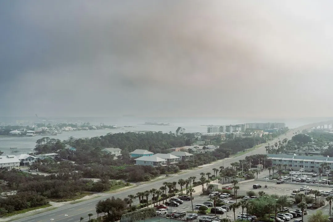
Zoom out from any single city, and the national picture from NOAA is striking. A major NOAA Technical Report found that disruptive tidal flooding that now affects the U.S. Gulf and Atlantic coastlines on 3 to 6 days per year will strike as often as 80 to 180 days a year by the 2040s. That’s not a hypothetical worst case scenario either; it reflects a middle-of-the-road outlook. Researchers explained that under the intermediate scenario, high-tide flooding is possible every other day by the 2040s along the western Gulf Coast and one out of every three days along the Northeast coast by the 2040s.
Massachusetts offers a useful local example of how these national trends translate to specific towns. Nantucket’s town government, working from NOAA’s high sea level scenario, notes that the island is projected to have 1.15 feet of sea level rise as soon as 2040, 2.36 feet as soon as 2060, and 4.36 feet as soon as 2080. Massachusetts has also built a dedicated probabilistic model, since the Massachusetts Coastal Flood Risk Model developed a sea level rise probabilistic model for future flood events based on storm intensities for 2030, 2050, and 2070, incorporating winds, waves, wave-setup, storm surge, wave run-up and overtopping.
Global Hotspots in the Tropics and South Pacific
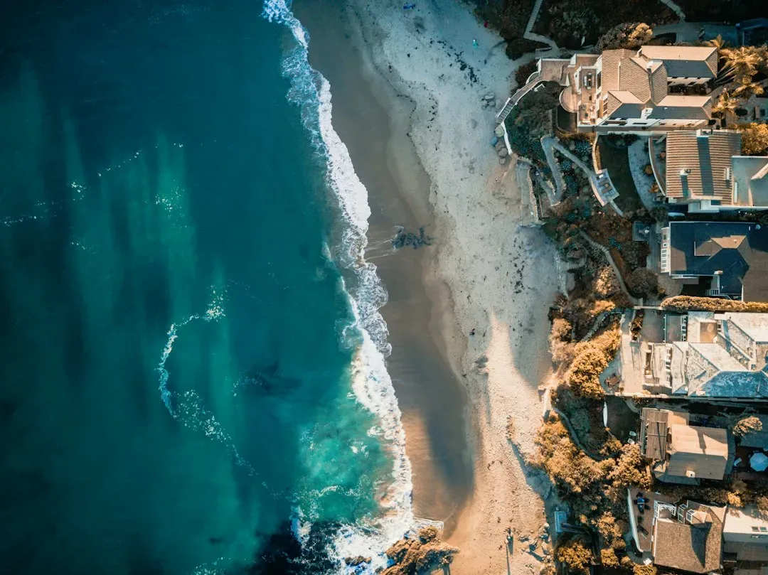
The 2040 shift isn’t just a US story. A widely cited global probabilistic study found that under rising extreme sea level scenarios, a large part of the tropics will be exposed annually to the present-day 100-year flood event starting around 2050, with most coastlines around the world facing unprecedented flood risk by the end of the century unless adaptation measures are taken. That means places that currently treat a severe flood as a once-in-a-century event may soon treat it as an annual occurrence.
The same research flagged specific regions bearing the brunt of these changes. By century’s end, projections show the South Pacific region is projected to experience the highest rise in extreme sea level under a high emissions scenario, with a very likely increase of 67 to 203 centimeters. Locally, the study also found that areas like the North Sea German coast, parts of East Japan, China, North Vietnam and many South Pacific Small Island Developing States are projected to experience the highest increase in extreme sea levels, exceeding one meter under a high emissions scenario. While these are end-of-century figures, the acceleration toward them is already underway well before 2040 and 2050 checkpoints.
Sinking Cities Across US Coastlines
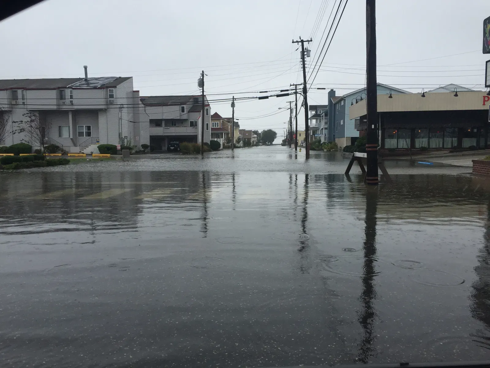
A study published in Nature titled “Disappearing cities on US coasts” looked beyond sea level rise alone and factored in vertical land motion across dozens of American cities. The researchers found that sea level along US coastlines is projected to rise by 0.25 to 0.3 meters by 2050, increasing the probability of more destructive flooding and inundation in major cities. Crucially, they warned that these impacts may be exacerbated by coastal subsidence, a factor that is often underrepresented in coastal management policies and long-term urban planning.
The scale of exposure the study projected is significant. Across 32 major coastal cities, the team calculated that even when considering current coastal defense structures, further land area of between 1,006 and 1,389 square kilometers is threatened by relative sea level rise by 2050, posing a threat to a population of 55,000 to 273,000 people and 31,000 to 171,000 properties. Notably, the researchers found that subsidence contributes unevenly by region, with the Gulf Coast bearing a disproportionate share, since between 2020 and 2050, subsidence would account for about a fifth to a third of the new land below sea level in urban areas on the Gulf Coast, compared to just over a tenth on the Atlantic coast and about 5 percent on the Pacific.
Why Land Subsidence Is a Silent Multiplier
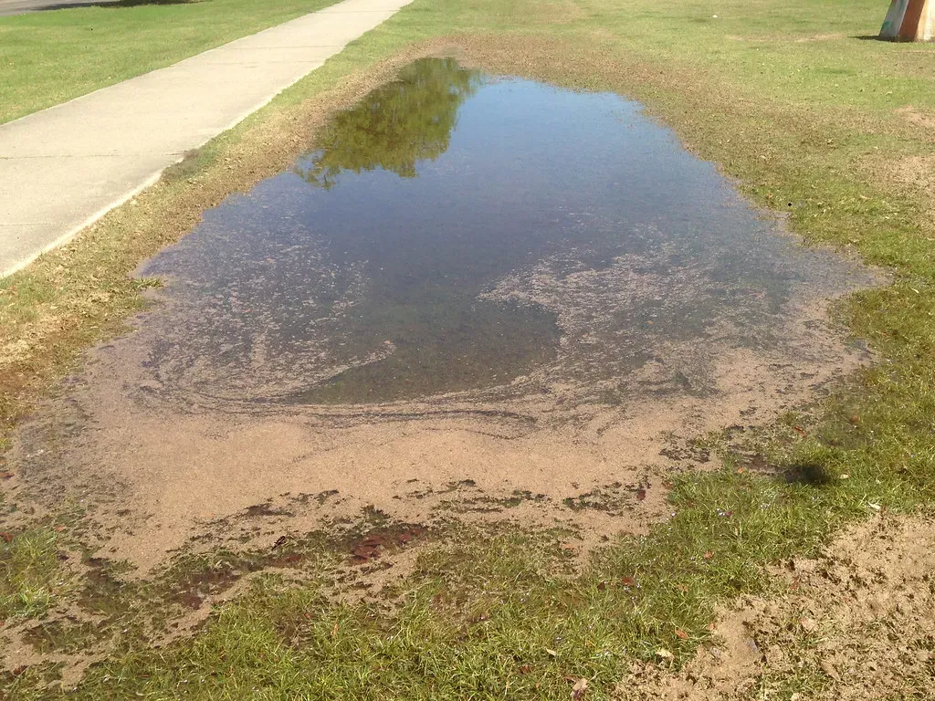
One of the more underappreciated threads running through nearly all of these coastlines is subsidence, the slow sinking of land that often has nothing to do with the ocean itself. A global study published in Science, drawing on research including contributions from the US Geological Survey, found that the threat of subsidence will grow to affect 1.6 billion people worldwide by 2040. That’s a staggering number, and it underscores why flood maps based purely on sea level projections can undersell the real risk.
In practical terms, this means that a coastline’s flood risk by 2040 depends on more than how fast the ocean rises. It depends on groundwater pumping, oil and gas extraction, and wetland loss happening right now beneath cities that may not even realize the ground under them is settling. Researchers analyzing satellite data have said plainly that traditional flood mapping methods, which rely solely on topography, often underestimate flood risks when subsidence is left out of the equation.
What This Means for Coastal Communities
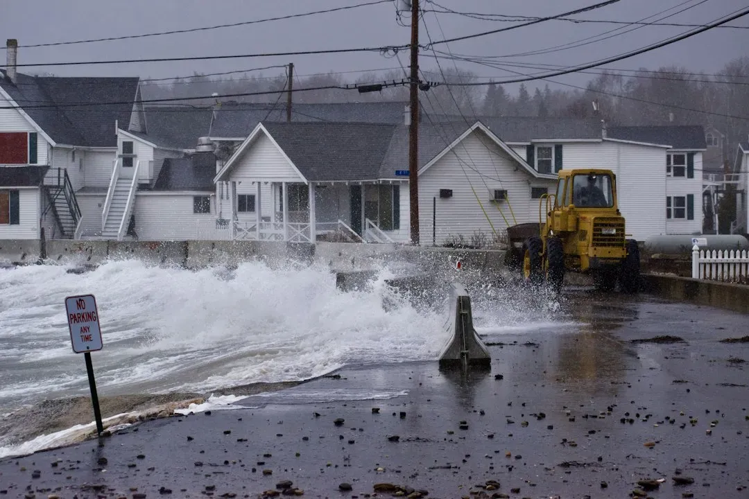
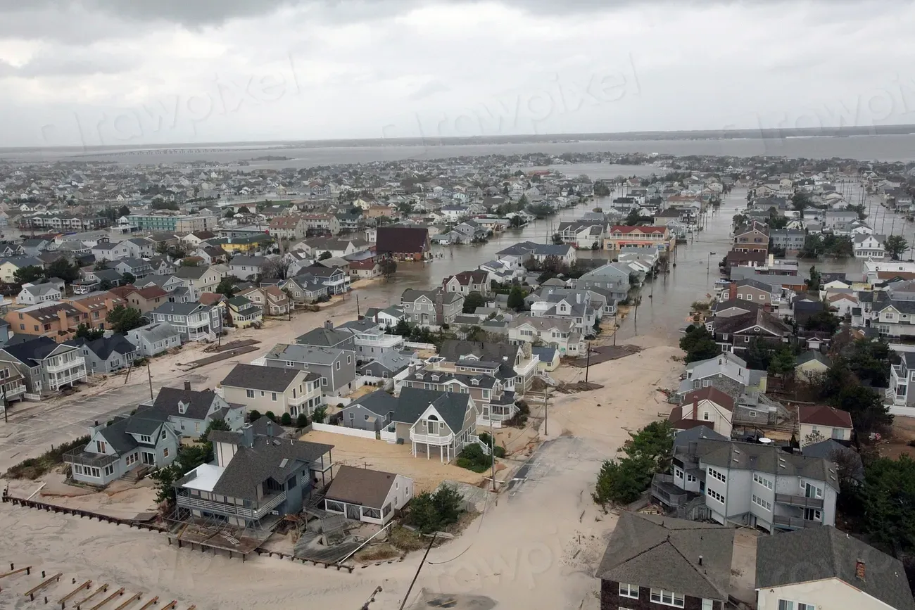
Reading through the research, a pattern emerges. Flood risk by 2040 isn’t going to look like a single dramatic event on a calendar. Instead, it’s a gradual redefinition of what “normal” looks like along these coastlines, with high tide flooding creeping from a handful of days a year to dozens or even well over a hundred in some spots. Communities that already treat minor street flooding as routine, like parts of Norfolk, are likely to see that routine become far more frequent.
For homeowners, business owners, and local governments in these five coastal regions, the practical takeaway is that existing flood maps and insurance assumptions may already be outdated. Many states and cities, including Virginia and Massachusetts, have started building 2040 directly into their planning tools rather than treating it as a distant milestone. That shift alone tells you how seriously researchers are taking this timeline.
Final Thoughts
None of this means every coastal town is doomed to disappear under water by 2040. Adaptation measures, from floodwalls to living shorelines to updated building codes, can and do make a real difference. Still, the research is consistent across very different regions and methods: the years leading up to 2040 are shaping up to be a turning point for coastal flooding, not a distant hypothetical. For anyone living near these five coastlines, that’s a signal worth paying attention to now rather than later.
