


- The Compostable Cup Left Intact for Years – 5 Backyard Composting Failures - November 15, 2026
- Fast-Fashion “Conscious” Lines Under Scrutiny – 5 Red Flags in Eco-Clothing - November 15, 2026
- Space Engineers Explain 5 Quiet Changes Making Rocket Launches Safer Than Ever - November 15, 2026
Most people hear about a tornado warning or a flash flood alert and assume that somewhere, a forecaster just saw something on a screen and made the call. The reality is far more layered. Behind every public warning sits a web of interconnected, redundant systems, each one designed to catch what another might miss. Some of these systems have been running quietly for decades, shaping outcomes that never make the headlines precisely because they worked.
The six systems below aren’t household names. They don’t trend on social media. Yet meteorologists, emergency managers, and aviation safety professionals lean on them constantly. Understanding what they are, and what they’ve done, changes how you look at the idea of “backup” in weather science.
NEXRAD (WSR-88D): The Doppler Network That Rewrote Tornado Survival Rates
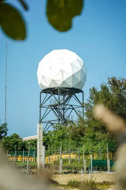
NEXRAD, technically called the WSR-88D, is a network of 159 high-resolution S-band Doppler weather radars operated jointly by the National Weather Service, the Federal Aviation Administration, and the U.S. Air Force. Its full technical name is almost never spoken outside government offices, and yet it is one of the most consequential safety infrastructures ever built in the United States.
After WSR-88D installation, the percentage of tornadoes warned for increased from roughly a third to nearly two-thirds, the mean lead time on warnings grew from about five minutes to over nine minutes, and expected tornado fatalities fell by roughly forty-five percent. That single statistical shift, replicated year after year, represents thousands of lives that were never lost.
ASOS: The Automated Surface Observing System Running 24 Hours a Day
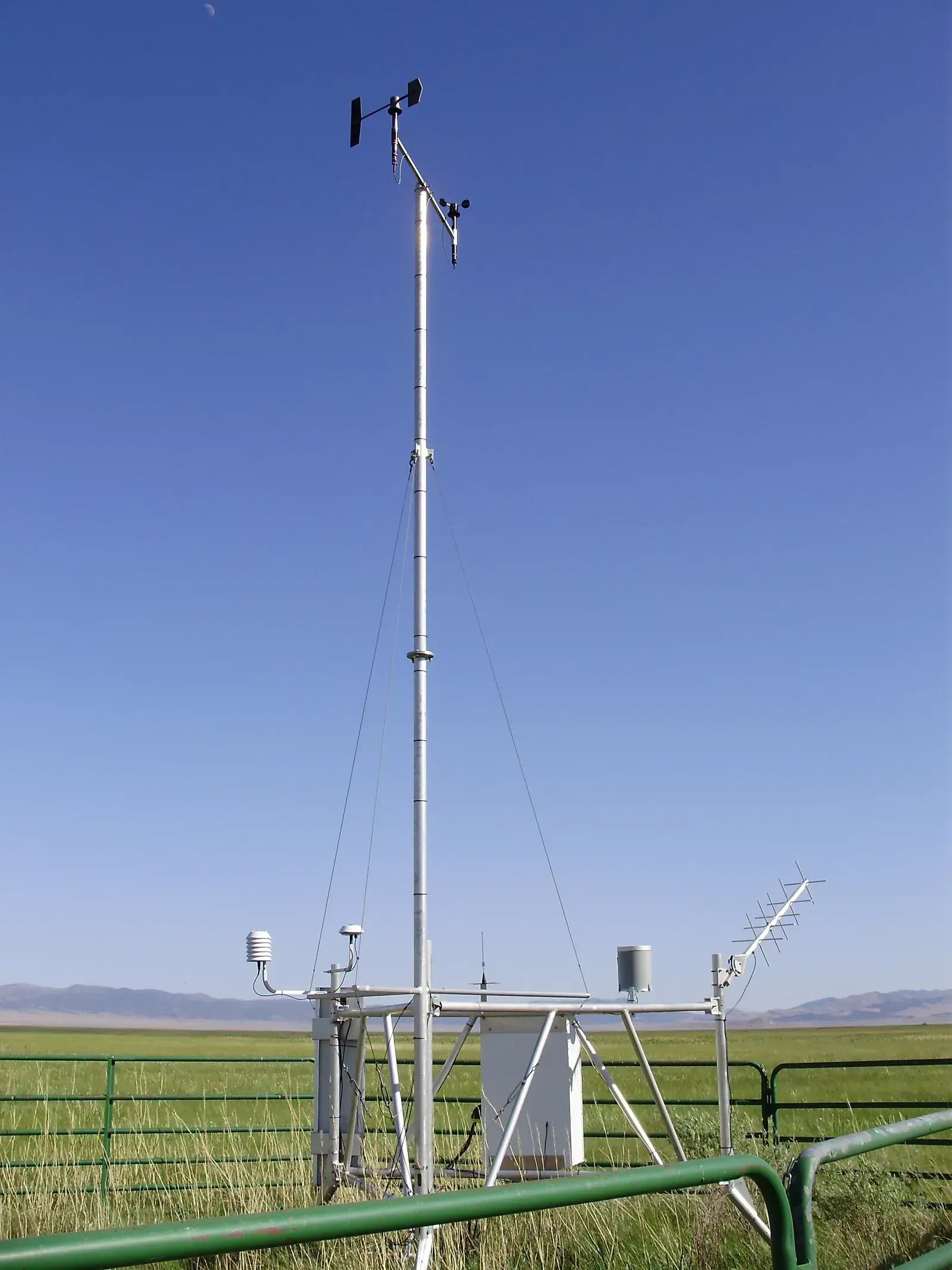
The Automated Surface Observing System is a joint effort between the National Weather Service, the Federal Aviation Administration, and the Department of Defense, and it serves as the primary surface weather observing network in the United States, supporting forecast activities, aviation operations, and meteorological research. Most people have no idea it exists, even though it sits at virtually every major airport they’ve ever flown through.
Currently, more than 900 ASOS stations operate across the United States and its territories, running non-stop around the clock. Each station measures wind speed and direction, dew point, air temperature, and station pressure, with the vast majority also measuring precipitation type and amount, visibility, and cloud height. When conditions shift rapidly, ASOS systems automatically issue special observations if weather conditions change rapidly and cross aviation operation thresholds, keeping pilots and air traffic controllers informed in near real-time.
AWOS: The Aviation Weather Observing System That Predates ASOS
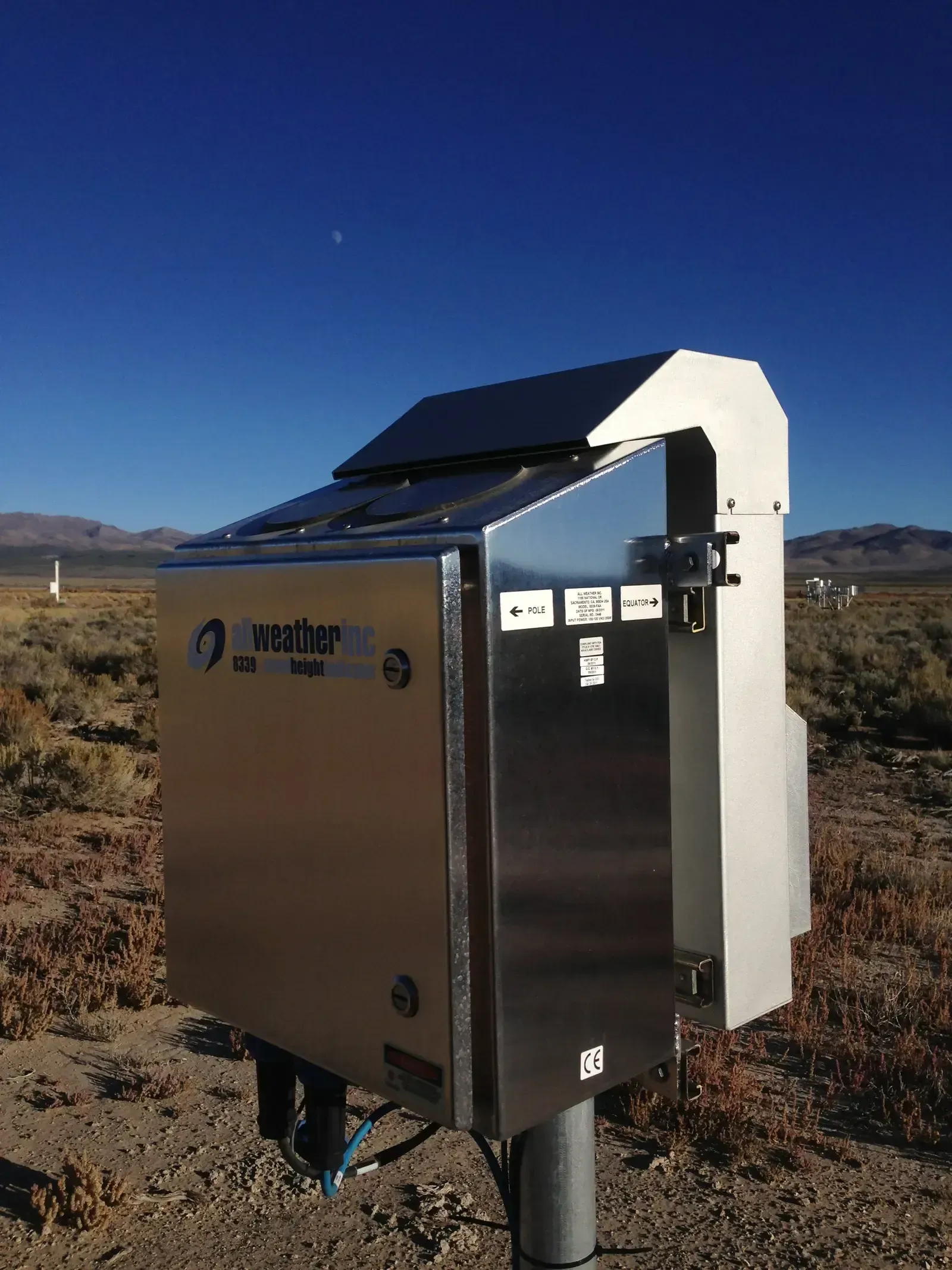
The Automated Weather Observing System is controlled and operated by the FAA. It generates new weather reports every twenty to thirty seconds on a minute-by-minute basis, making AWOS data virtually real-time. It was the original aviation weather reporting system, with stations located solely at airports. Think of it as the older sibling that ASOS later surpassed in scope, but never fully replaced.
AWOS systems are among the oldest automated weather stations and predate ASOS. They generally report at twenty-minute intervals and, unlike ASOS, do not report special observations for rapidly changing weather conditions. That limitation explains why ASOS was developed, though AWOS still fills critical gaps at smaller airports where no ASOS station exists. The two systems effectively form a layered fallback network for aviation weather coverage across the country.
AWIPS: The Advanced Weather Interactive Processing System
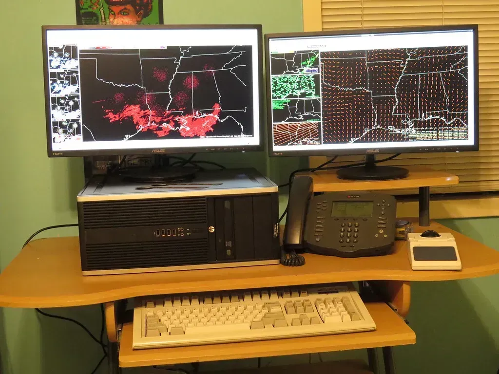
Most emergency managers have heard of it, but the general public almost certainly hasn’t. AWIPS, short for the Advanced Weather Interactive Processing System, is the workstation platform used by National Weather Service forecasters to ingest, display, and analyze data from a vast array of sources simultaneously. It pulls in NEXRAD radar data, satellite imagery, surface observations from ASOS and AWOS stations, and numerical model output, all feeding into a single integrated interface.
Early warning systems are reliant on data from diverse sources, including weather satellites, ground-based weather and marine stations, and remote sensors. Real-time data is then analyzed using advanced computer models and algorithms and compared with historical records to identify unusual or extreme conditions. AWIPS is the platform that makes that integration possible for forecasters on the ground, acting as the operational nerve center that connects all the other systems on this list into a coherent warning pipeline.
Impact-Based Forecasting Systems: Translating Weather Into Consequence
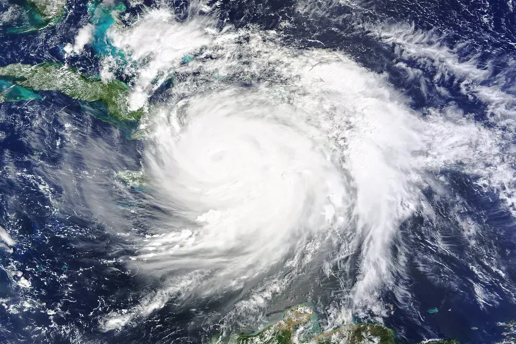
The limitations of traditional weather forecasting highlight the urgent need for a more proactive approach to crisis response. Impact-based forecasting bridges the gap between weather science and actionable crisis planning, enabling businesses, emergency responders, and government agencies to prepare more effectively. This isn’t a single piece of hardware or a radar tower. It’s a methodology layered on top of existing observation systems, and it changes what a warning actually means.
Traditional weather forecasting is primarily data-driven, providing probabilistic models of upcoming weather conditions. While valuable, it lacks the depth of actionable intelligence that organizations need for disaster preparedness and response. Impact-based systems fill that gap by telling communities not just that severe weather is coming, but what specific infrastructure or populations are at risk. Warning systems have grown in complexity, with warnings often graded in levels, each triggering different response actions. The time scale of warnings has also evolved from days to hours to minutes, allowing response to phenomena ranging from large-scale synoptic events down to tornadoes.
Multi-Hazard Early Warning Systems (MHEWS): The Coordinated Redundancy Net
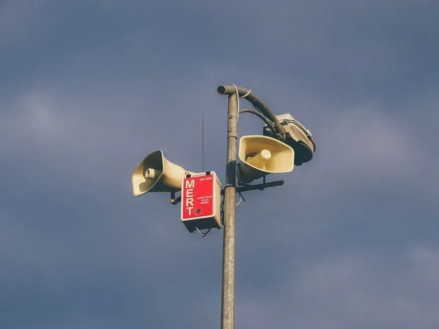
Multi-hazard early warning systems can address a range of potential threats, from floods and hurricanes to droughts and heatwaves. The key word there is “multi-hazard.” Rather than maintaining a separate system for each disaster type, MHEWS architecture is designed so that the same network of sensors and communication channels can route different types of alerts to the right agencies and communities.
Countries with effective early warning systems experience disaster death rates roughly six times lower than those without. That figure comes from research examining Africa’s early warning gap, published in early 2026, but it reflects a global pattern. Despite meteorological agencies issuing warnings, crises have repeatedly exposed that a significant portion of the world’s population lacks access to effective early warning systems, contributing to disaster death rates far higher than in regions with robust infrastructure. MHEWS is the structural answer to that problem, combining redundancy with reach.
