
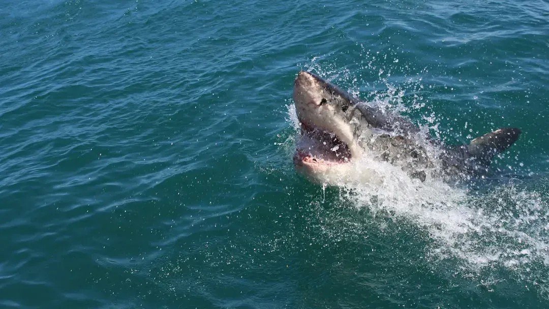
Sharks have roamed the world’s oceans for roughly 450 million years. They have outlasted mass extinctions, ice ages, and tectonic upheavals that reshaped entire continents. So it might seem odd that scientists are now watching them more closely than ever during storms and climate shifts. The answer turns out to be less about protecting the sharks and more about what the sharks can tell us.
Over the past decade, researchers have discovered that these animals are, essentially, swimming data platforms. They move through ocean zones where our instruments struggle to reach, recording temperature, depth, and pressure as they go. At a time when weather models urgently need better ocean data, scientists have found an unexpected ally beneath the waves.
Sharks as Mobile Ocean Sensors
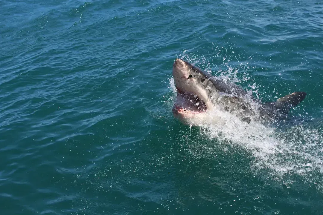
A study published in the journal npj Climate and Atmospheric Science shows that electronically tagged sharks can serve as mobile sensors, collecting ocean climate data in regions that are difficult to observe using conventional methods. This is not a minor upgrade to existing tools. It represents a fundamentally new way of gathering subsurface ocean information.
Researchers tagged 18 blue sharks and one shortfin mako shark in the Northwest Atlantic. Over the next six months, the sharks transmitted more than 8,200 temperature-depth profiles across a wide range of locations and depths, reaching down to nearly 2,000 meters. That volume of data from such a dynamic stretch of ocean would have been extraordinarily costly to gather by any other means.
Filling the Gaps That Traditional Tools Miss
Ocean data drives climate and weather models. These models need a clear starting picture of temperature and currents. When that picture is incomplete, predictions drift off course. The problem is especially acute in the Northwest Atlantic, where shallow coastal waters, deep ocean zones, and the Gulf Stream all interact in complex and rapidly shifting ways.
Satellites cannot see below clouds. Argo floats avoid turbulent zones. This leaves important regions poorly measured. While satellites and surface buoys provide critical information about the ocean’s surface, understanding what happens below requires subsurface data. Traditionally, this has come from expensive tools like gliders, ship-based surveys, or Argo floats. Sharks, which naturally travel through a range of ocean depths and environments, offer a unique opportunity to gather subsurface measurements across regions that are costly or impossible to reach consistently.
How the Tagging Technology Actually Works

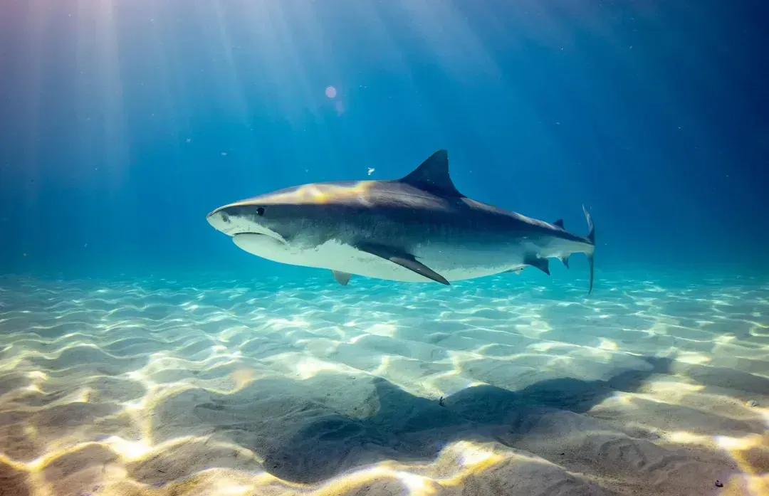
Satellite tags attached to sharks record depth and temperature as they travel through the ocean, collecting and transmitting this data in near real time. The engineering behind this is more delicate than it sounds. When the shark surfaces, the tag breaks the water and connects with overhead satellites, sending the collected profile and establishing GPS coordinates. The entire system depends on the shark surfacing frequently enough and long enough for successful data transmission.
An early iteration tested on two blue sharks in 2023 failed to consistently transmit data due to issues with tag placement and antenna exposure. The revised mount, rigid and contoured to fit the leading edge of the dorsal fin, was deployed on two shortfin makos in May 2025. The pace of iteration matters because hurricane season does not wait for perfect hardware.
The Hurricane Forecasting Connection
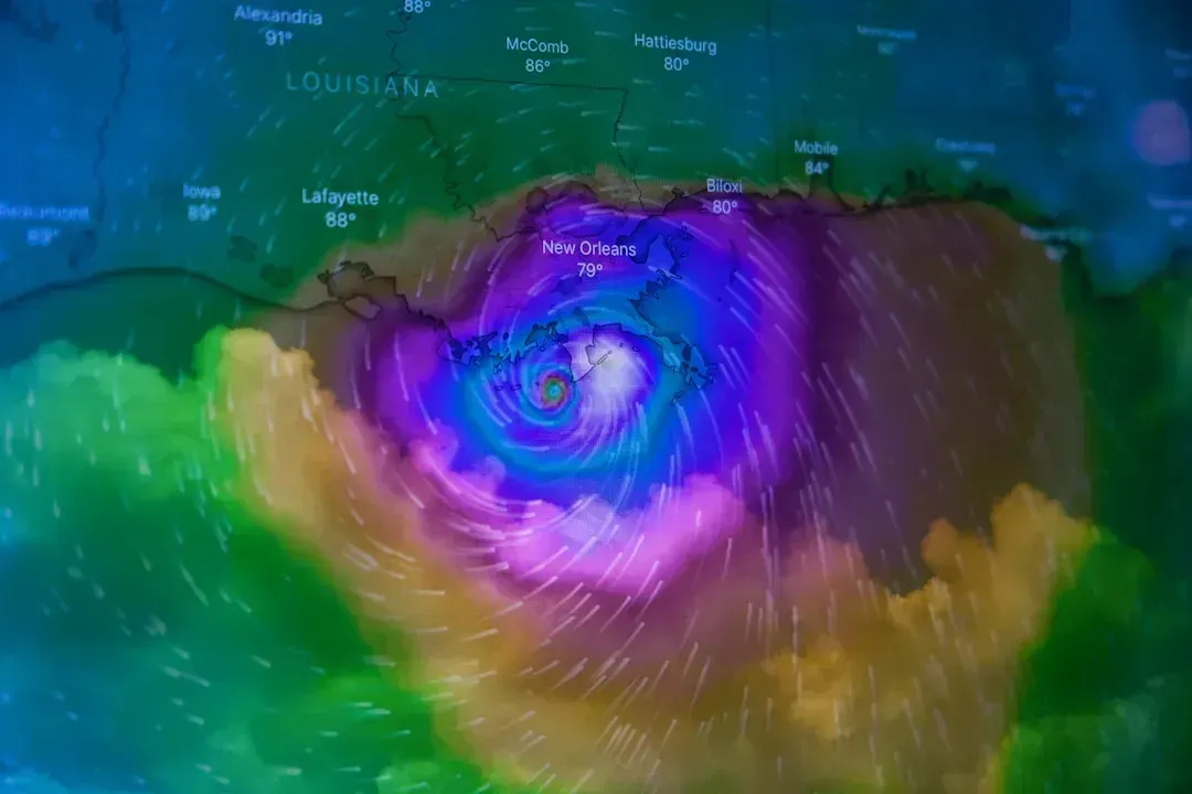
Ongoing research led by University of Delaware professors Aaron Carlisle and Matt Oliver and PhD student Caroline Wiernicki uses tracking tags on sharks to collect data about the oceans and, hopefully, create better models for predicting hurricanes. Accurate hurricane intensity forecasts depend heavily on knowing the thermal structure of the ocean below the surface. Warm water deeper in the water column can rapidly intensify storms in ways that surface-level readings alone cannot predict.
Forecasts incorporating shark-derived data showed up to forty percent lower surface temperature errors than control forecasts when compared against satellite observations and ocean reanalysis products. That kind of improvement, in a domain where even a few percentage points of accuracy can mean the difference between a timely evacuation and a catastrophic surprise, is genuinely significant. The research comes at a time when federal funding and staffing cuts are reducing NOAA’s ability to study and respond to weather events. Sharks could offer a valuable new dataset, alongside remote robotic sensors, buoys, and satellites, but they aren’t a replacement.
How Sharks Respond to Hurricanes Directly

A study led by scientists at the University of Miami Rosenstiel School tracked large sharks in Miami and The Bahamas to understand how these migratory animals respond to major storms. The researchers analyzed acoustic tag data from tiger sharks, bull sharks, nurse sharks, and great hammerheads before, during, and after Hurricane Matthew in 2016 and Hurricane Irma in 2017. The findings showed that not all sharks react the same way to approaching storms.
They found that shark behavior differed by species and by location. Some moved offshore ahead of the storm, while others appeared to remain in place or shifted toward shallower areas in ways scientists had not anticipated. Hurricane activity and drastic water shifts impact shark populations significantly. Most sharks are cold-blooded, meaning they need to seek waters that are comfortable to live in. When water temperatures shift drastically in one direction or another, it can be disruptive to sharks.
Range Shifts Driven by Warming and Storms
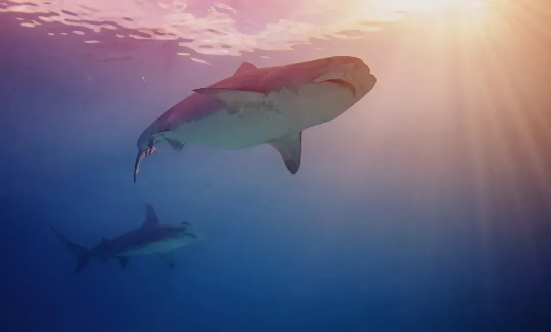
In a collaborative study, the Shark Research and Conservation Program team used multiple approaches to evaluate the effects of ocean warming on tiger shark movements in the Western North Atlantic. This research found that over the past roughly forty years, shark distributions have expanded northward, paralleling rising temperatures. What was once considered an unusual sighting in New England waters is increasingly routine.
Bull sharks have moved progressively further up the US east coast over the past forty years and now appear regularly off New Jersey and New York. Tiger sharks are seen seasonally as far north as Cape Cod. The pattern is consistent across multiple species: each shark has a temperature window, and that window is shifting toward the poles. Tracking these range shifts tells researchers not just where sharks are going, but how much the ocean itself has changed.
Nursery Habitat Destruction After Major Storms

Warmer ocean surfaces fuel stronger hurricanes and cyclones. Many shark species use shallow coastal nurseries such as mangroves, estuaries, and lagoons for the first one to four years of life. Severe storms can scour these nurseries, displacing pups into open water where survival rates drop sharply. This is one of the less visible consequences of intensifying storm seasons, and it has real implications for long-term shark population health.
Bull shark nurseries in Florida and the Caribbean took multiple hits from major hurricanes between 2017 and 2024, including Irma, Maria, Dorian, and Beryl. Tagged juveniles were displaced kilometers from their normal home ranges, and recapture rates dropped in storm-affected years. The damage to mangrove forests in particular is hard to reverse, as mangroves take decades to regrow once destroyed.
Delayed Migrations as a Climate Signal
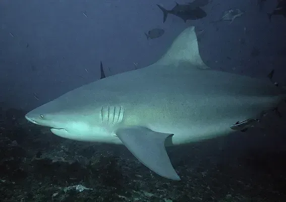
Over the last forty years, climate change has led to significant delays in juvenile bull shark migrations in the western Gulf of Mexico. Sharks are now departing estuarine nurseries more than thirty days later than they once did. A one-month shift in a migratory schedule might sound minor, but it cascades through an entire food web, affecting prey species, competing predators, and the fisheries that depend on predictable seasonal patterns.
Satellite tracking of sharks over the past decade has revealed that their annual migrations have extended farther poleward and arrival times to northern areas have also occurred earlier. Scientists use these shifts as independent confirmation that ocean warming is not a projected future event but a measurable present one. Sharks, in this sense, function as living tide gauges for climate change.
The Threat of Cold Shock as Oceans Destabilize
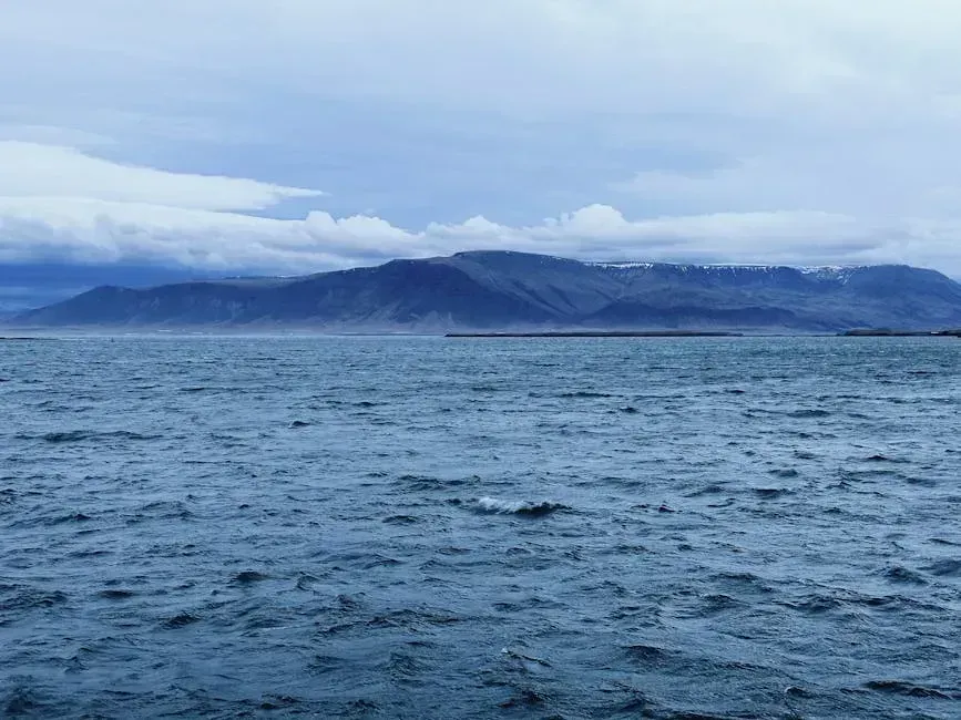
Cold-blooded sea creatures seeking refuge from warming ocean waters may find themselves at increasing risk of deadly cold shocks due to changes in ocean currents. Climate change is pushing species to higher latitudes in an attempt to stay within their range of comfortable temperatures, but this migration can come with unforeseen consequences. The irony is stark: sharks moving north to escape warm water can swim directly into dangerous cold upwellings.
A study published in Nature Climate Change documents a mass mortality event in March 2021 that saw at least 260 dead sea creatures wash up on the shores of South Africa. Using satellite data, ocean observations, and data on the movements of bull sharks, the researchers link the event to a sudden influx of cold water coming up from the deeper ocean. Such events have been increasing in frequency over the past three decades, and researchers forecast that this trend may continue as the world continues to warm.
Whale Sharks and the Shipping Collision Risk
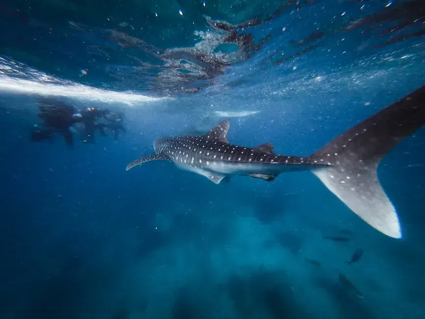
Whale sharks, the world’s largest fish, are highly mobile and responsive to changes in temperature. Recent evidence suggests they are also particularly vulnerable to ship strikes, where large marine animals are struck and injured, often fatally, by large vessels in the global fleet. Tracking their movements under different climate scenarios has become a conservation priority, not just a scientific curiosity.
Researchers used whale shark satellite-tracking data coupled with global climate models to project the distribution of whale sharks under three different future climate scenarios. The shifts in whale shark habitat were most extreme under high-emission scenarios, and a global reshuffling could lead to core habitat losses in some areas as well as increased overlap with shipping traffic as oceans warm. Knowing where they are likely to be in the future is the first step toward keeping them out of harm’s way.
What Better Shark Data Means for Coastal Communities
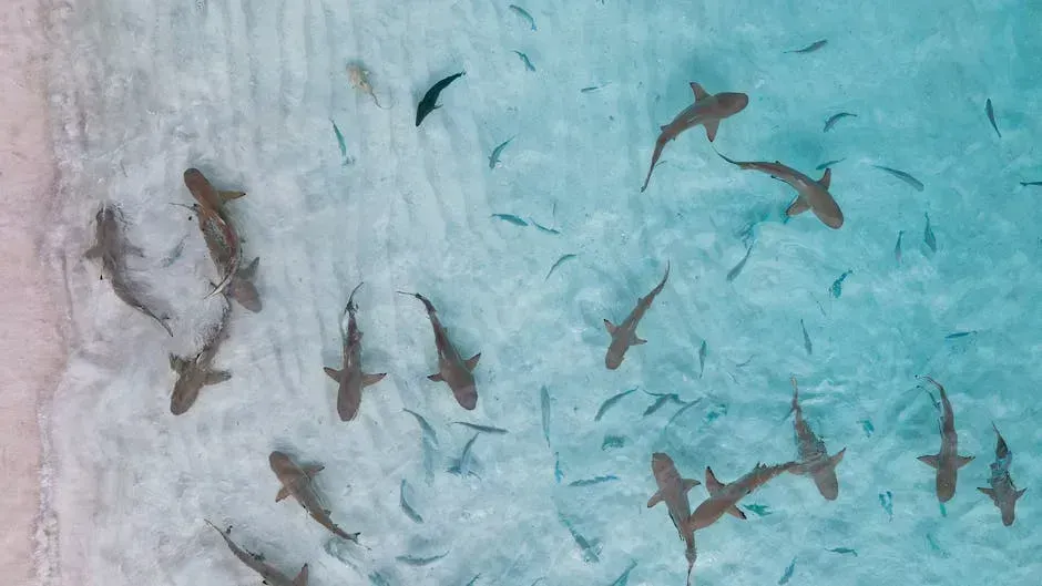
The impact of shark data on forecast models did not fade quickly. Even though data was added at the start of a modeling experiment, improvements lasted for months. This suggests the data helped guide the model onto a better path from the beginning. For coastal communities planning around hurricane season, longer-lasting improvements to forecast accuracy translate directly into better preparation timelines.
As temperatures climb, ocean conditions become less predictable, affecting the food supply for higher-level hunters like sharks. NOAA explains that these changes can cause sharks to enter new areas, sometimes closer to shore, increasing encounters with humans. Tracking shark movements during weather shifts, then, is not purely an academic exercise. It connects to beach safety, fisheries management, and the basic question of how coastal life will need to adapt as ocean conditions grow more volatile.

- The Shoreline Sucked Dry in Seconds – 5 Tsunami Signals Beachgoers Mistake for Low Tide - November 14, 2026
- 9 Dark-Sky Destinations Around the World Where the Stars Look Unreal - November 14, 2026
- The Fault Line That Never Slips – 7 Locked Seismic Zones Overdue for a Massive Release - November 14, 2026
