
Most weather disasters don’t arrive without notice. The warnings come first, and they come through phones, radio alerts, local broadcasts, and official meteorological channels. What changes outcomes, time after time, is whether people act on those warnings or wait to see what happens.
The 48-hour window matters. It’s roughly the lead time that modern forecasting gives us before a major event becomes unavoidable. A Winter Storm Watch, for instance, is issued when there is the potential for significant and hazardous winter weather within 48 hours. That window is your margin. What follows are ten warning signs that demand attention the moment they appear, not after another news cycle passes.
A Tornado Warning Is Issued for Your Area
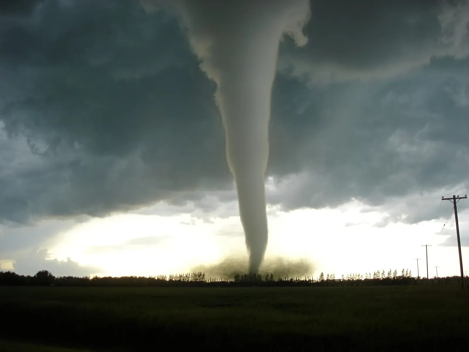
A Tornado Warning is issued when a tornado is imminent. When a tornado warning is issued, seek safe shelter immediately. There is no ambiguity in that language, and there shouldn’t be in your response either. This is not the same as a watch, which covers broad conditions. A warning means radar or spotters have confirmed something is already forming or moving.
In the span of minutes, an intensifying thunderstorm may quickly develop low-level rotation that, under the right conditions, could lead to a tornado. Sometimes, brief tornadoes form quickly on the leading edge of a long line of severe thunderstorms with otherwise damaging straight-line winds. These tornadoes may occur during the night, or may be wrapped in rain and hard to see. That invisibility alone is reason enough to treat every tornado warning with full seriousness.
A Flash Flood Emergency Is Declared
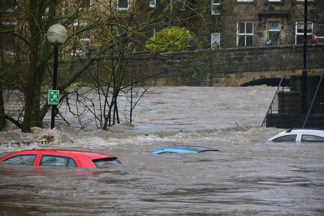
Floods affect more people globally than any other type of extreme weather event. In the U.S., floods are the most common and widespread weather-related disasters, and the National Weather Service rates flash floods as the country’s number one storm-related killer. When a Flash Flood Emergency is declared, it represents the most extreme tier of flood warning available.
Just six inches of fast-moving water can knock over an adult. One foot can carry away a car. The tragedy in central Texas in July 2025 made that brutally clear. A devastating flood claimed the lives of at least 135 people when the Guadalupe River rose 31 feet in 90 minutes, becoming the deadliest inland U.S. flooding event in almost 50 years.
A Severe Thunderstorm Warning Mentions Possible Tornadoes
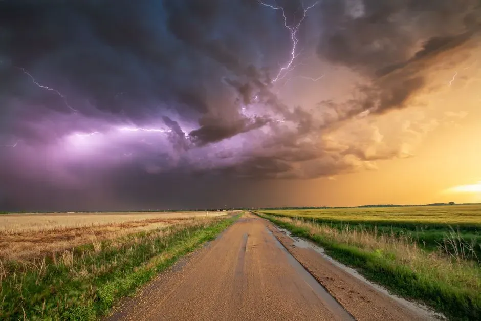
If a National Weather Service severe thunderstorm warning mentions a “tornado is possible,” seek shelter as if it was a tornado warning, based on this potential for a tornado to quickly develop. This specific wording is not boilerplate. It reflects genuine radar data and spotter reports that show a storm on the edge of something far worse.
You’re much more likely to have a severe thunderstorm warning issued for your area than a tornado warning. Over 21,000 severe thunderstorm warnings were issued by the National Weather Service in 2024, over five times the number of tornado warnings. Volume doesn’t mean safety. Each one of those carries the potential for wind, hail, and rotation.
A Hurricane Warning Is in Effect Within 36 Hours
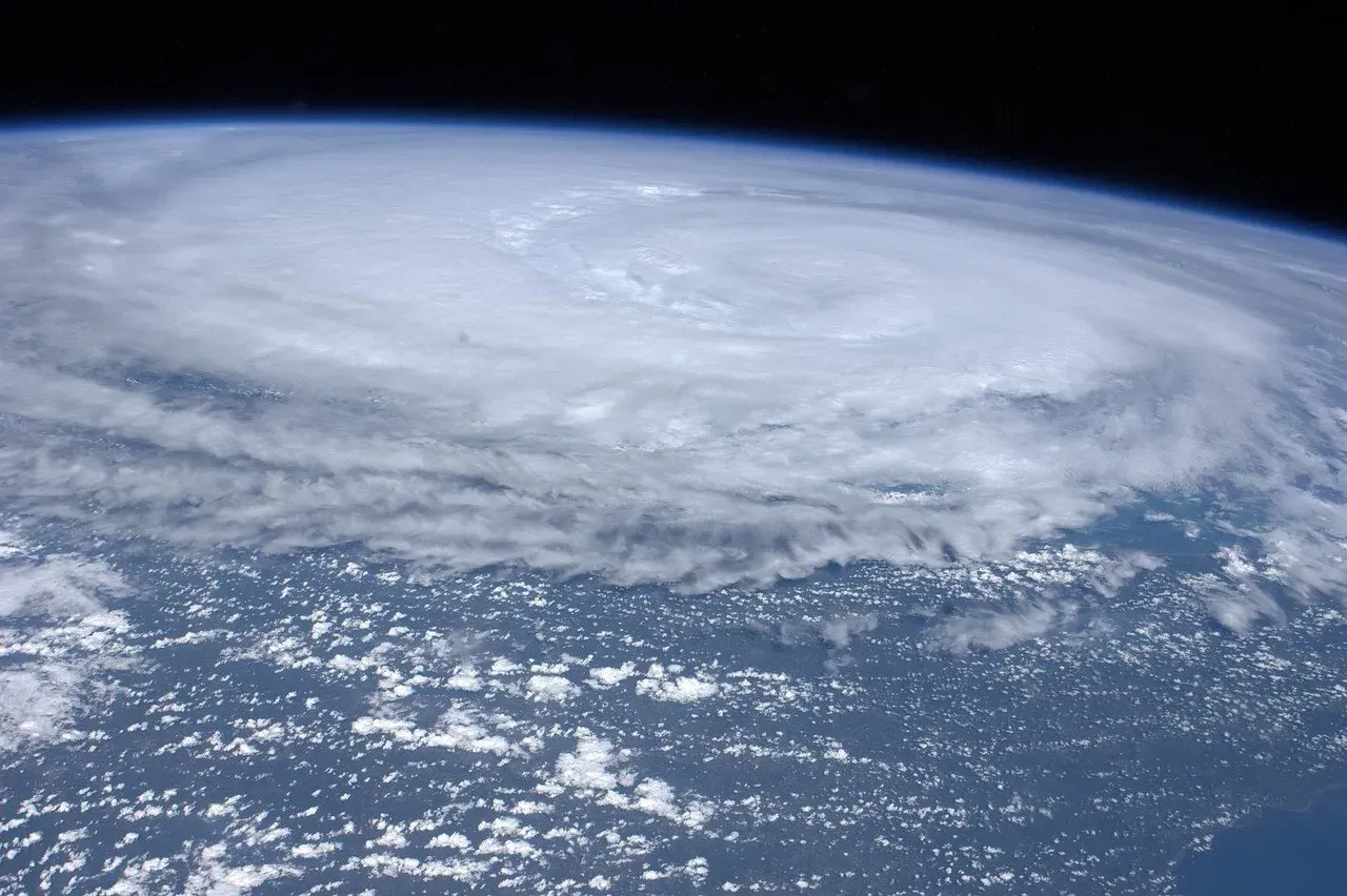
A Hurricane Warning is issued when sustained winds of 74 mph or higher associated with a tropical cyclone are expected in 36 hours or less. These winds may be accompanied by storm surge, coastal flooding, and river flooding. If you are inside the warning zone and have not made a decision about evacuation, you are already behind the timeline.
The 2024 Atlantic hurricane season was classified as hyper-active, producing 18 named storms, 11 hurricanes, and five major hurricanes. It was the third-costliest on record, with an estimated $131 billion in damages. Hurricane Helene’s catastrophic inland flooding stood as the clearest reminder in years that the danger does not stop at the coastline. Many people in inland areas simply did not believe they were in the path of harm.
A Storm Surge Watch Is Posted for Your Coastline
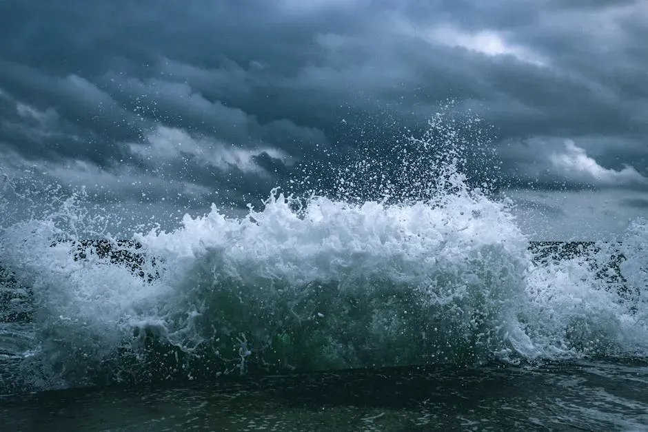
A Storm Surge Watch is defined as the possibility of life-threatening inundation from rising tidal water moving inland from the shoreline somewhere within the specified area, generally within 48 hours, in association with a tropical system. Storm surge consistently ranks as the deadliest feature of tropical storms, yet it receives less public attention than wind speed categories. That imbalance costs lives.
A hurricane warning can remain in effect when dangerously high water or a combination of dangerously high water and exceptionally high waves continue, even though winds may be less than hurricane force. This means the danger can linger well after the storm’s peak, and the 48-hour window on a surge watch is genuinely tight when you factor in traffic, road closures, and the pace at which water moves inland.
A Blizzard Warning Is Issued for Your Region
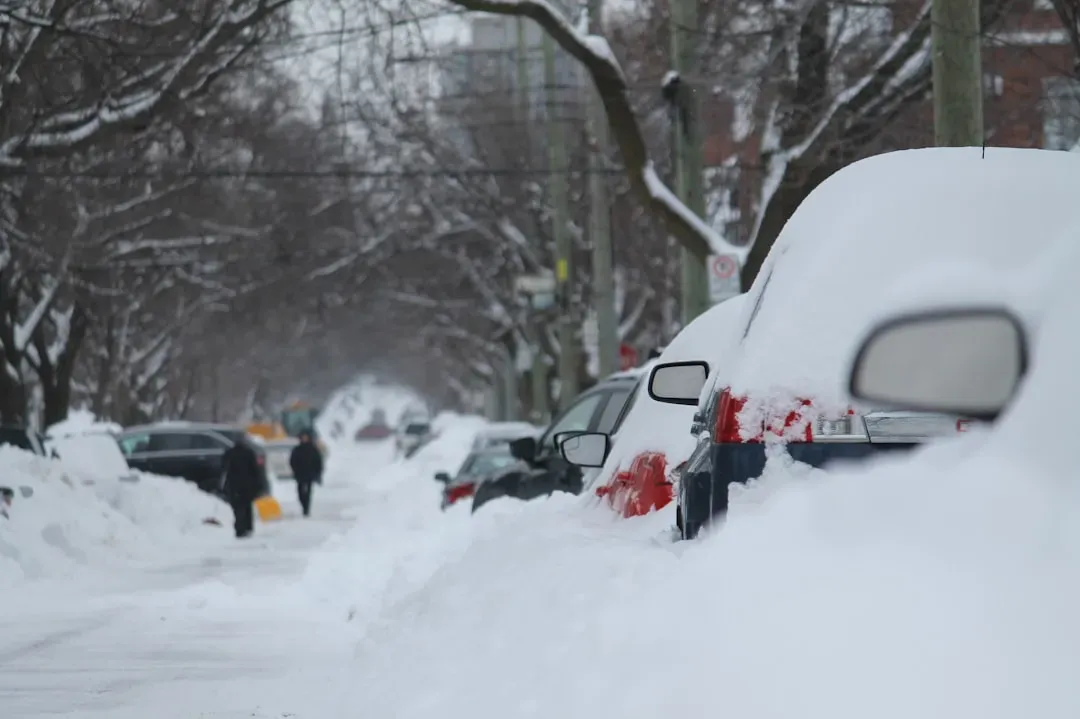
A Blizzard Warning means that the following conditions are occurring or expected within the next 12 to 18 hours: snow and blowing snow reducing visibility to a quarter mile or less for three hours or longer, and sustained winds of 35 mph or greater. These are not ordinary winter driving conditions. At that level, disorientation outdoors can become fatal within minutes.
Blizzards are storms that contain high winds and poor visibility. A warning for these kinds of storms is issued when visibility is reduced to a quarter of a mile and winds blow continuously at speeds of 35 mph or more. Stock up, stay home, and arrange for any elderly neighbors or family members before the storm arrives, not during it. Once whiteout conditions set in, help cannot reliably reach you.
A Red Flag Warning Is Active in Your Area

A red flag warning alerts communities of potentially dangerous fire weather conditions. This is the most serious kind of alert prior to a wildfire starting, and simple mishaps can result in widespread damage. Red flag warnings are issued by the National Weather Service when a combination of risk factors such as humidity, dry vegetation, and strong winds could result in a fire. In red flag conditions, an untended campfire, a downed power line, or a single spark from a vehicle can escalate into an uncontrollable blaze within minutes.
The 2024 U.S. wildfire season saw nearly 65,000 fires that burned approximately 8.9 million acres. The total acreage burned was 26% above the 20-year average. In January 2025, the wildfires impacting the Los Angeles area exceeded $60 billion, making it the most expensive wildfire event on record. A red flag warning appearing in a forecast is not background noise. It is a direct signal to prepare for possible evacuation, especially in fire-prone zones.
An Extreme Heat Warning Is Issued
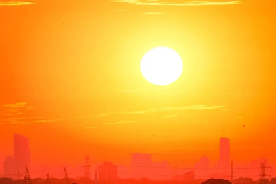
According to a National Weather Service report, in a 30-year period from 1986 to 2015, an average of 130 people lost their lives each year as a result of heat, a greater number than all other weather events. Heat warnings are statistically the most lethal of all weather alerts in the United States. Yet they routinely receive less urgency from the public than more visually dramatic storms.
Generally, a heat index of 110 degrees or higher is extremely dangerous, especially for sensitive groups. The risk compounds overnight when temperatures fail to drop significantly. Many elderly people in Chicago were confined to their homes and apartments without air conditioning during the 1995 heat disaster that killed hundreds. That pattern of exposure, indoors, isolated, and without cooling, remains one of the most preventable forms of weather-related death.
A Flood Watch Is Issued After Days of Rain
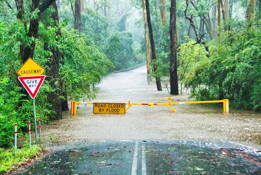
A Flood Watch is issued when conditions are favorable for flooding. It does not mean flooding will occur, but it is possible. The keyword here is “favorable,” which in meteorological terms means the ground is already saturated, rivers are running high, and additional rain has nowhere to go. A watch becomes a warning faster than most people expect.
Across 126 major U.S. cities, hourly rainfall rates are now 15% higher on average compared to 1970, increasing the risk of flash flooding. Flooding can escalate quickly and can pose serious risks to life and property. A watch issued during an extended rainy period is not a signal to monitor the situation casually. It’s a signal to move vehicles to higher ground, check evacuation routes, and watch river gauge readings.
A Particularly Dangerous Situation Warning Is Declared
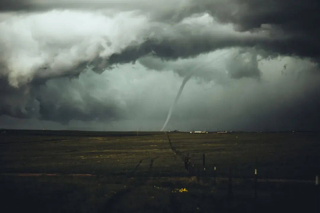
A Particularly Dangerous Situation tornado warning indicates a large tornado has been confirmed to be producing damage and is moving into and through the warned area. The PDS wording can be incorporated into the text of a tornado warning when a considerable tornado debris signature is detected on radar or a large tornado is visually observed. This is the highest escalation in the National Weather Service warning hierarchy, reserved for situations where the risk of catastrophic loss of life is real and immediate.
PDS watches and warnings are uncommon. From 1996 to 2005, the Storm Prediction Center issued an average of 24 per year, less than 3% of all watches. When one appears, it reflects a consensus among meteorologists that the conditions are exceptional and not simply another alert in a long list of alerts. People get desensitized to watches and warnings after so many don’t produce any impacts for their specific area, but a PDS designation is specifically designed to cut through that fatigue and signal that this time is genuinely different.
Weather science has never been more accurate, and warning systems have never been more accessible. The gap, as researchers consistently identify, is not in the forecasts. The largest gaps in early warning systems fall in warning dissemination and response capability, demonstrating that the lack of protection is not a lack of forecasts or warnings, but rather a lack of adequate communication and response. Forty-eight hours is a gift that previous generations of storm victims never had. Using it well is the only reasonable choice.

- The Shoreline Sucked Dry in Seconds – 5 Tsunami Signals Beachgoers Mistake for Low Tide - November 14, 2026
- 9 Dark-Sky Destinations Around the World Where the Stars Look Unreal - November 14, 2026
- The Fault Line That Never Slips – 7 Locked Seismic Zones Overdue for a Massive Release - November 14, 2026
