
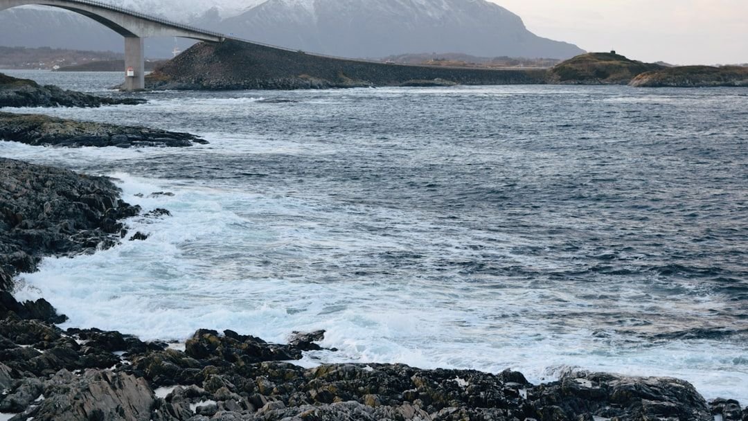
Something unusual is happening in the North Atlantic Ocean, and it’s not going unnoticed. A growing body of research and forecast data points to a shift in how the Atlantic is behaving, with temperatures, current patterns, and large-scale circulation all moving in ways that have meteorologists paying careful attention heading into the 2026-2027 winter season.
The Atlantic has always played a quieter role in winter forecasting compared to the Pacific, where El Niño and La Niña tend to dominate the headlines. That may be changing. While Pacific Ocean temperatures, including ENSO, are the more obvious connection when it comes to winter weather in North America, Atlantic Ocean temperatures also have a significant influence on jet stream trends and global weather patterns. The question now is what exactly the Atlantic is telling us, and whether forecasters can translate those signals into reliable predictions for the months ahead.
The Cold Pool Sitting South of Greenland
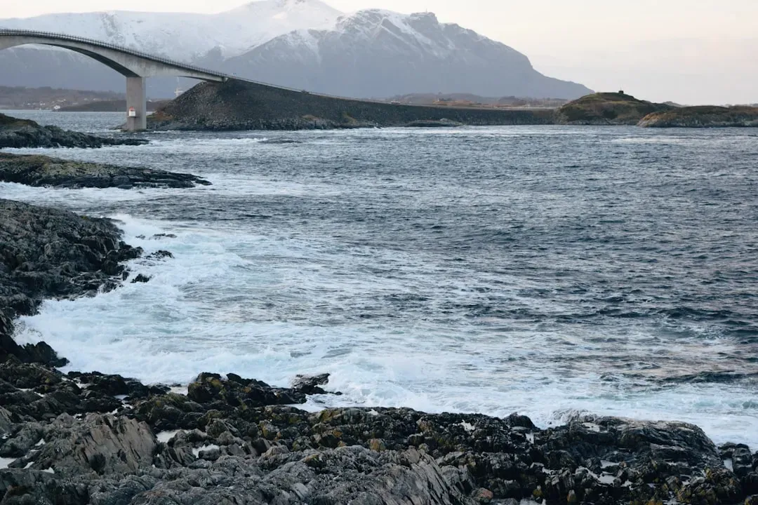
A cold anomaly has been returning to the far North Atlantic, and early forecasts suggest this cold anomaly is expected to persist into winter. This area of unusually cool water sits just south of Greenland, in the subpolar region, and it has been building steadily through 2025. It’s rare enough that meteorologists are treating it as a meaningful signal rather than background noise.
The colder-than-average ocean temperatures in the subpolar region of the North Atlantic, just south of Greenland, could play a significant role in dominant weather patterns across North America. Cold pools such as this in the North Atlantic have a weakening effect on the Gulf Stream, the warm conveyor belt of ocean water that moves from south to north. When the Gulf Stream weakens even slightly, the downstream atmospheric effects can be far-reaching.
The Atlantic Quadpole Mode: A Relatively New Player in Forecasting
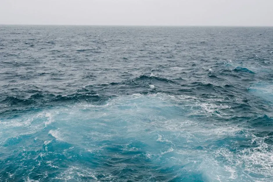
Recent research has found that North Atlantic Ocean temperature anomalies, known as the Atlantic Quadpole Mode, play a significant role in global winter weather patterns. Ocean water temperatures in the North Atlantic alter the alignment and strength of the correlation between El Niño and La Niña and winter precipitation in North America. This is a relatively new area of study, and its growing importance in seasonal forecasting reflects how much the scientific community’s understanding of Atlantic dynamics has deepened.
During the previous several years, a warm phase of the AQM was observed. However, North Atlantic Ocean temperatures have cooled significantly in recent months, and a cold phase of the AQM is now expected. That flip from warm to cold is precisely what forecasters are factoring into their outlooks, especially since it can modulate how the usual signals from ENSO play out over land.
How the Atlantic Influences the Jet Stream
Cold pools in the North Atlantic have a weakening effect on the Gulf Stream. This change in typical ocean currents has an atmospheric response that is more likely to cause disruptions to the jet stream and polar vortex, which can lead to trough-dominant patterns and more frequent cold air intrusions into the Eastern U.S. In practical terms, that means more opportunities for Arctic air to dip southward, bringing the kind of deep freezes that define harsh winters.
Ocean temperatures can help influence atmospheric patterns, storm tracks, and moisture flow across North America. Together, these ocean patterns can influence where winter storms develop and how they move. A warmer Atlantic Ocean can also provide extra moisture and energy for East Coast storm systems. The interplay between cold subpolar waters and warmer tropical Atlantic waters is particularly significant for determining where and how intensely storms develop.
The Atlantic Multidecadal Oscillation and Its Long Game
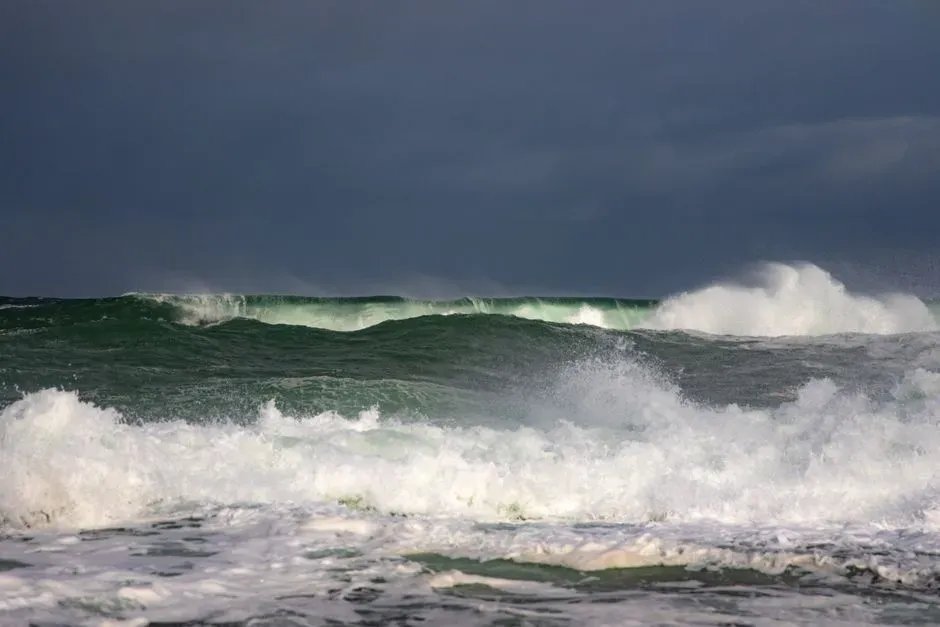
One pattern called the Atlantic Multidecadal Oscillation remains in a warm phase. The AMO is an ongoing series of long-duration changes in the sea surface temperature of the North Atlantic Ocean, with cool and warm phases that may last for 20-40 years at a time and a difference of about 1°F between extremes. These changes are natural and have been occurring for at least the last 1,000 years. While that temperature difference sounds small, its cumulative effect on storm tracks, drought patterns, and precipitation can be substantial over decades.
The AMO is correlated to air temperatures and rainfall over much of the Northern Hemisphere, in particular in the summer climate in North America and Europe. Through changes in atmospheric circulation, the AMO can also modulate spring snowfall and glaciers’ mass variability. It is also associated with changes in the frequency of North American droughts and is reflected in the frequency of severe Atlantic hurricane activity. Recent research suggests that the AMO is related to the past occurrence of major droughts in the U.S. Midwest and the Southwest. When the AMO is in its warm phase, these droughts tend to be more frequent or prolonged.
AMOC: The Bigger Picture Everyone Is Watching
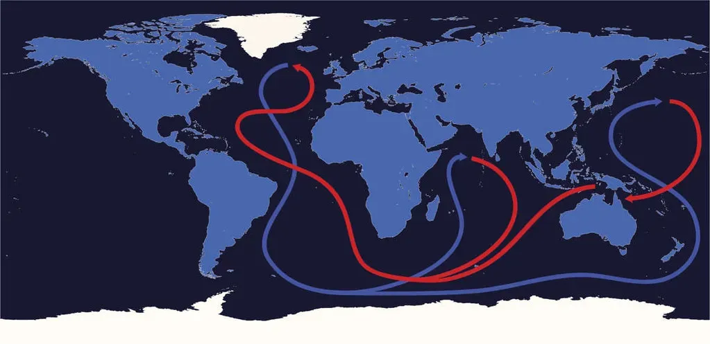
The AMOC is a complex system of ocean currents that distribute heat throughout the Atlantic by transporting warmer waters north and cooler waters south. A 2025 study by U.S. federal climate researchers found that the current’s recent weak phase has already contributed to up to half of flooding events along the northeast coast of the U.S. since 2005. That’s a striking figure, and it puts the abstract concern about ocean circulation into very concrete terms for coastal communities.
If a collapse were to happen to the AMOC, there could be global ramifications, including abrupt cooling across large parts of the Northern Hemisphere, changes in tropical rainfall, and non-linear changes in sea-level rise in the North Atlantic Ocean. A January 2026 preprint study utilizing high-resolution modeling indicates that an AMOC collapse may be significantly more likely than suggested by previous simulations, citing a higher sensitivity to meltwater influx than previously captured. Scientists are careful to note that a full collapse remains a longer-term scenario, but the direction of travel is not reassuring.
The Polar Vortex Connection
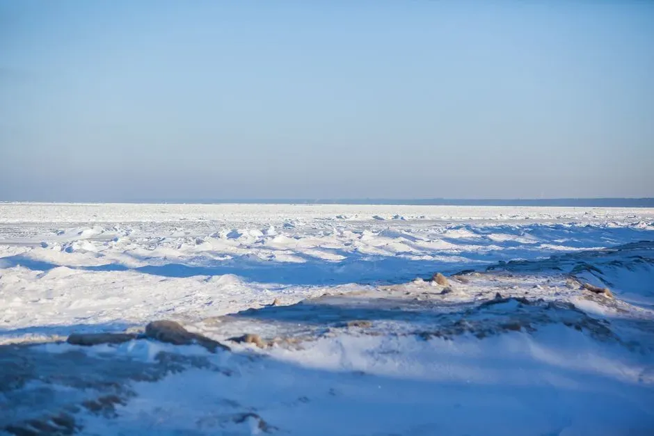
High above the equator in the stratosphere, shifts in wind patterns can sometimes influence larger atmospheric patterns, including the behavior of the polar vortex, a large area of cold air that normally circulates around the Arctic. When the polar vortex weakens or shifts position, colder air can occasionally move farther south into parts of the United States. The Atlantic plays a direct role in how likely this is to happen, particularly through blocking patterns near Greenland.
A strong blocking high over Greenland, with the displaced low-pressure systems from the United States over the North Atlantic into Northern Europe, represents a typical weak Polar Vortex event. It means an easier escape of cold air down into the lower latitudes. Weak La Niña or neutral conditions combined with cooler North Atlantic anomalies tend to favor colder than normal temperatures across much of North America due to greater potential for West Coast ridging and polar vortex disruptions that can allow Arctic air to spill southward into Southern Canada and the Lower 48.
What the QBO Adds to the Mix

Easterly QBO phases favor more frequent polar vortex disruptions and trough-dominant winter patterns over the East and Central U.S., and ridge-dominant patterns near the West Coast and over the Southwest. Westerly QBO phases, on the other hand, favor a stronger Pacific jet stream and thus more storms into Western North America. The Quasi-Biennial Oscillation is a stratospheric wind pattern that oscillates on roughly a two-year cycle, and its current phase is shaping up to be a meaningful amplifier of the Atlantic signal.
The strong easterly QBO phase, combined with the cold pool over the North Atlantic, may favor more of a western ridge and eastern trough pattern than might normally be expected in a La Niña winter. That combination is what makes the current setup unusual. Each individual factor might be manageable on its own. Together, they could reinforce one another in ways that produce a more impactful winter pattern than either would suggest independently.
Greenland Meltwater and Its Growing Influence
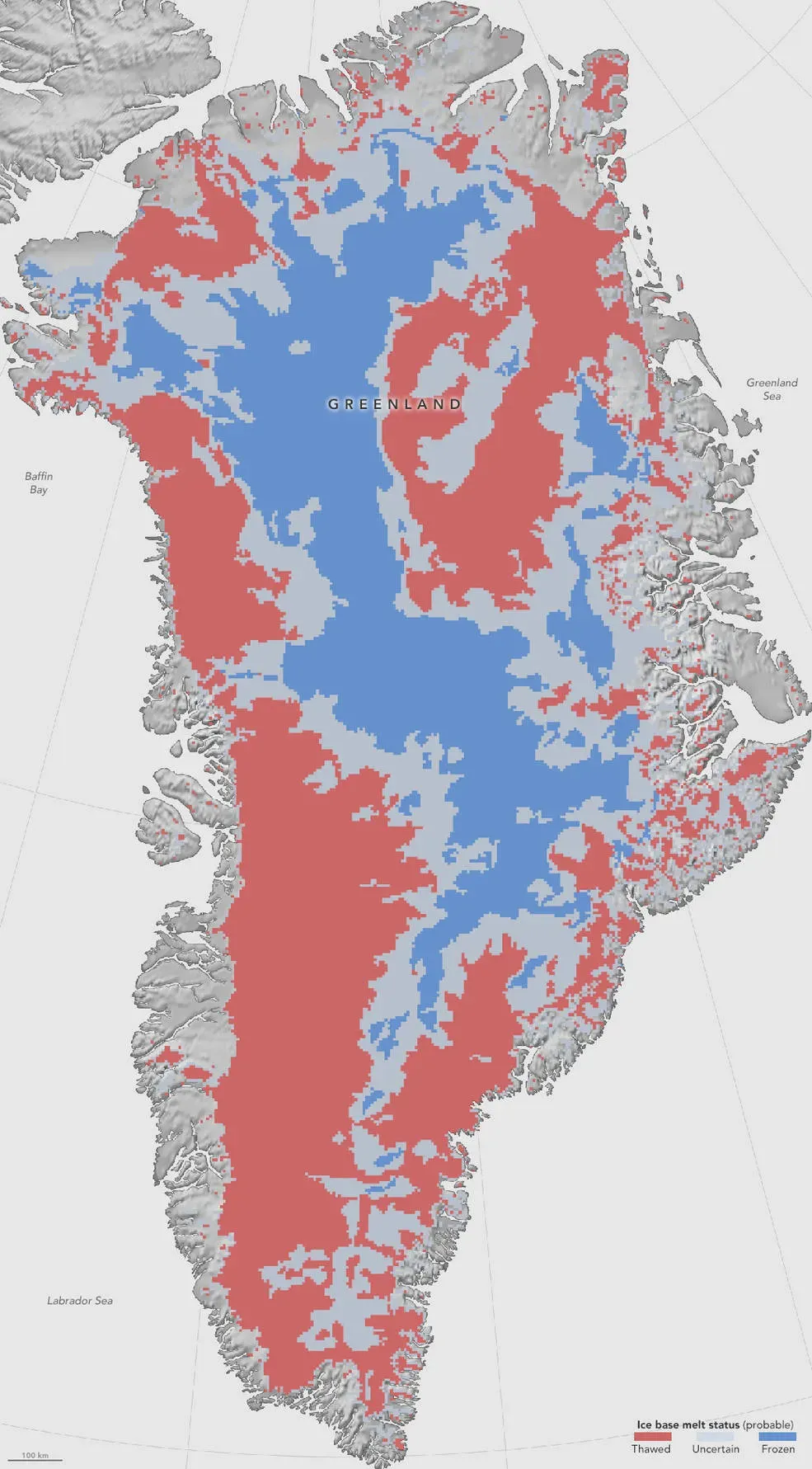
A key limitation in climate models is that they do not incorporate the impacts of freshwater being added to the North Atlantic as the Greenland ice sheet melts. To address this limitation, researchers adjust climate models to add levels of freshwater input to the North Atlantic for a fixed length of time. This is known as “hosing.” The fact that standard models omit this process means that some projections about Atlantic circulation changes may actually underestimate what’s coming.
The North Atlantic subpolar gyre has freshened over recent decades, a trend projected to intensify under continued global warming. The resulting increase in stratification drives roughly 1°C of subsurface warming within a decade and a reorganisation of oceanic circulation that can enhance surface warming in the Nordic Seas. This freshening effect, driven by Greenland melt, is one of the more direct physical mechanisms through which a warming planet changes the very ocean currents that have historically moderated climate across the Northern Hemisphere.
What This Means for the Coming Winter
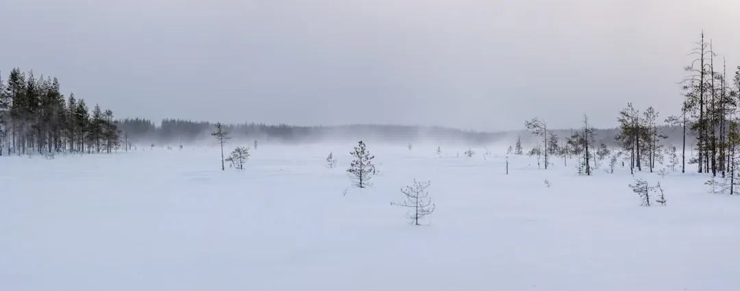
AEM meteorologists are projecting an active polar jet stream out of Canada into the northern U.S., likely making it colder than normal across the north-central U.S. There will also most likely be a relatively weak subtropical jet stream. Several Arctic blasts are expected to march south or southeastward from Canada, with their greatest impacts on the northern and central Plains as well as the Midwest and Great Lakes.
Looking back at past years featuring the most similarities between ENSO, QBO, and North Atlantic temperatures, the weak magnitude of La Niña is more often, but not always, counteracted by the other two signals. However, a wide range of outcomes from year to year makes for a tricky winter forecast, even more so than usual. That uncertainty is not a sign of failure on the part of forecasters. It reflects the genuine complexity of a system where multiple large-scale ocean and atmosphere patterns are all shifting simultaneously, some of them in directions not seen in over a decade.
Why This Moment Feels Different
Over the past 75 years, wintertime subseasonal variability in the North Atlantic jet stream’s latitude and tilt has declined. The decreased jet variability is connected to regional storm tracks, atmospheric blocking, precipitation and temperature variability in Europe. A less variable jet stream doesn’t mean a quieter winter. In many respects, it means the opposite: when the pattern locks in, it tends to stay locked in longer.
It’s most likely that the same atmospheric conditions that create these cold oceanic anomalies also help to create a specific colder winter pattern over the United States and Canada. The ocean anomalies can be looked at like indicator lights on a dashboard, showing that something is going on. Meteorologists are not raising alarm bells without reason. The convergence of cold North Atlantic anomalies, a shifting QBO, and continued AMOC weakening amounts to a set of signals that, taken together, warrant serious attention before the next winter season arrives.

- Crows Remembering Human Faces for Decades – 6 Bird Behaviors Far Smarter Than We Knew - November 15, 2026
- 8 Things Astronauts Do on Their First Day in Orbit That Rookies Find Strange - November 15, 2026
- 11 Everyday Routines That Are Completely Normal on the Space Station but Baffle Everyone on Earth - November 15, 2026
