

- Phantom Energy Sucking Power 24/7 – 7 Home Electronics Quietly Inflating Utility Bills - November 14, 2026
- A Million-Mile Storm Raging for Centuries – 6 Violent Weather Wonders in Our System - November 14, 2026
- Animals Flee Hours Before the Tremor – 7 Natural Warnings Before Disasters Strike - November 14, 2026
Where the Phrase Actually Comes From
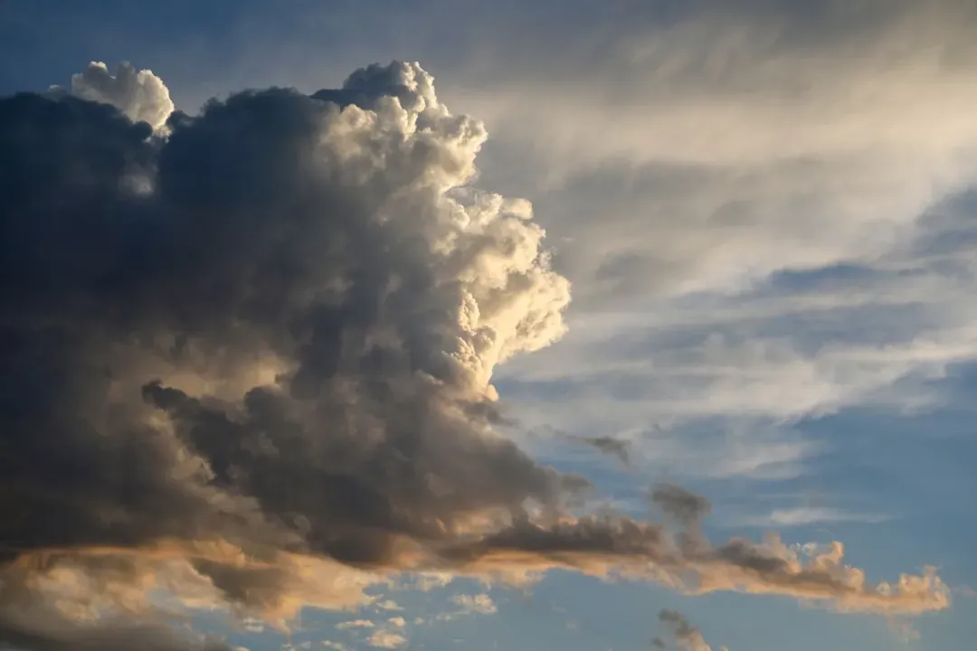
The expression predates modern meteorology by centuries, rooted in observations by sailors and farmers who noticed patterns long before anyone understood atmospheric pressure or convection. “The calm before the storm” describes a period of quiet weather that sometimes precedes major storms, with the air nearly calm and the sky having an innocent look. That last part, the innocent look, is what made it such an enduring image.
It survived because it was often true enough to feel like a rule. Yet as meteorologists have studied the phenomenon more closely, they’ve found it’s less a universal law and more a specific set of atmospheric conditions that sometimes line up and sometimes don’t.
The Single-Cell Thunderstorm: Where the Calm Is Real
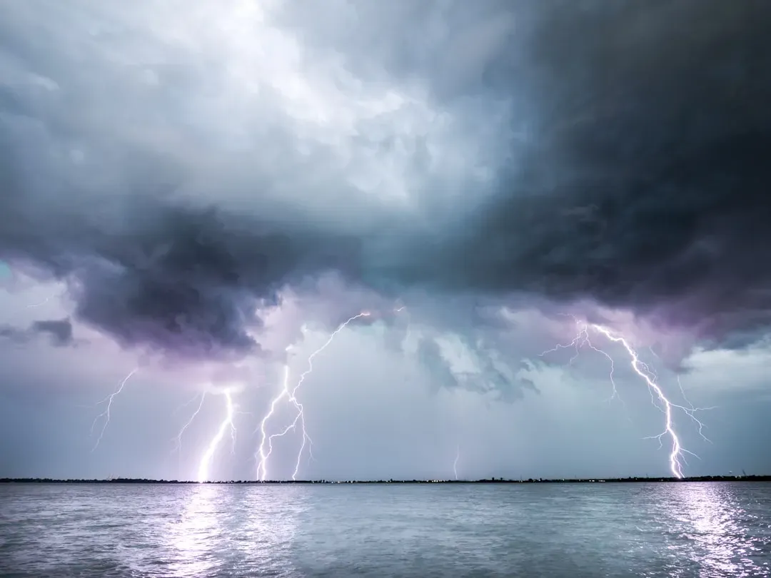
The clearest case for a genuine calm before the storm happens with simple, single-cell thunderstorms. In this type of thunderstorm, warm, humid air near the ground rises, and as it rises, the water vapor in it cools and condenses into tiny droplets that form clouds, which clump up and build until they grow large enough to form raindrops. That rising air does something else too.
The rising warm air forms a partial vacuum, which pulls cold air from high above, and that helps drive the rain down. Crucially, this partial vacuum also pulls in air from all sides of the storm front, and air moving away from the partial vacuum gets pulled back, so the area in front of the storm experiences a calm. It’s essentially the storm inhaling before it exhales.
Why Most Thunderstorm Clusters Skip the Calm Entirely
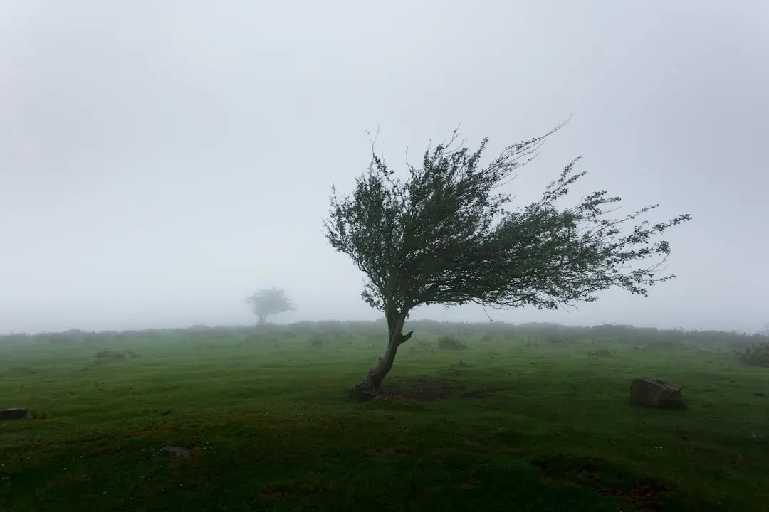
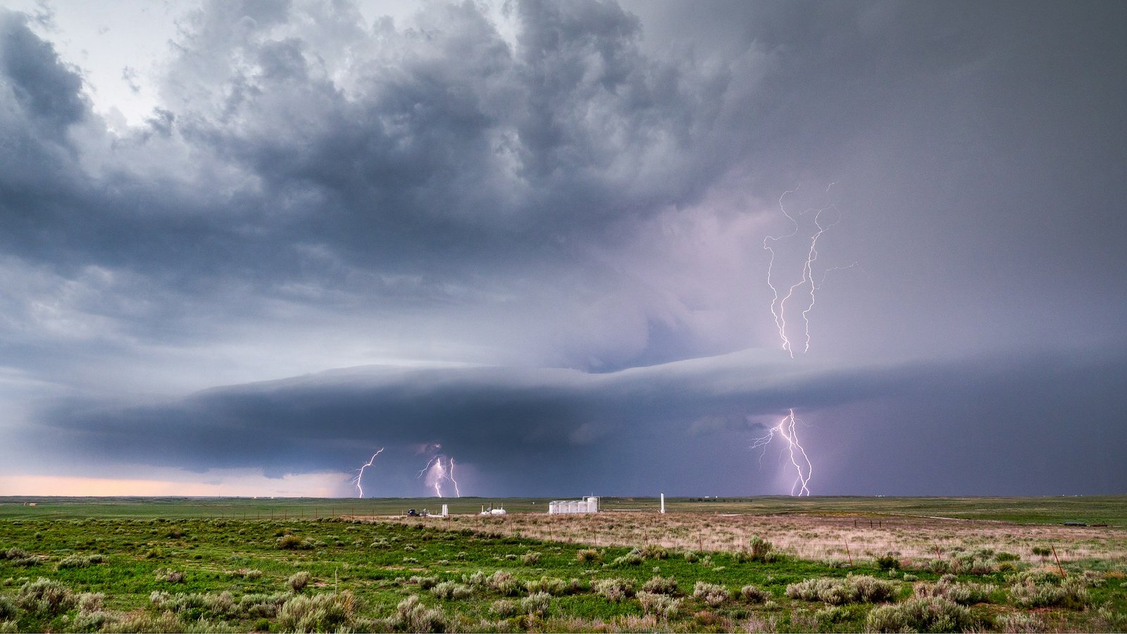
Single-cell storms are the exception rather than the rule, and that matters a lot for how often people actually experience this quiet phase. Most thunderstorms don’t start with a calm, because most are actually clusters of storms with complex wind patterns, and there’s so much air moving up and down in the vicinity of these storm clusters that the calm before the storm never happens. In fact, the opposite can occur.
Instead of calm before the storm, it might be really windy. This is why two people describing storms from different parts of the country can have completely contradictory memories of what preceded the weather. Neither is wrong. They just experienced different storm structures.
How a Complex Supercell Can Still Produce a Lull
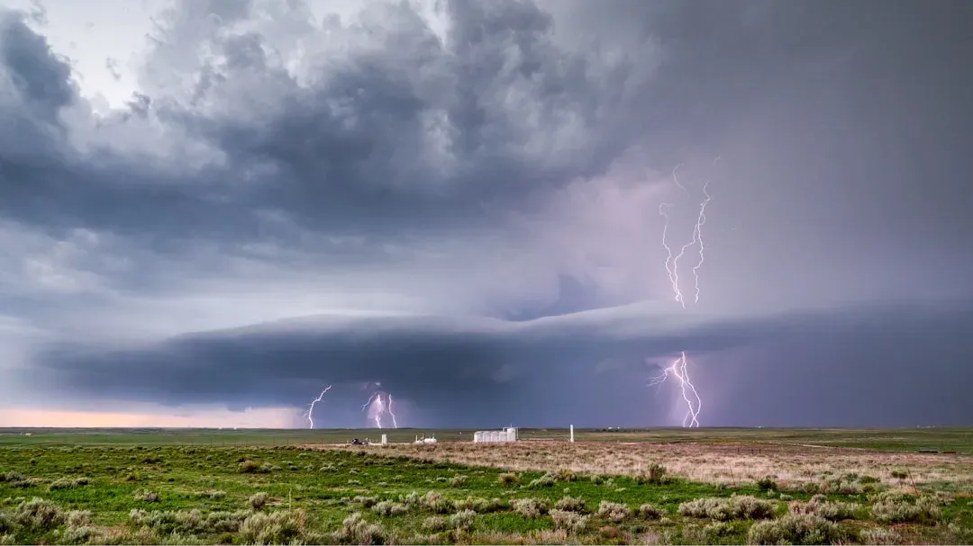
Even large, organized supercell thunderstorms, which usually churn with chaotic internal winds, can occasionally produce a calm patch under the right setup. There are certain factors, namely wind and atmospheric pressure, that can combine to produce calm even before a complex or supercell thunderstorm, one such scenario involving cyclone-like winds and low pressure in the rear quadrant of an approaching supercell. It’s a narrower window than people assume.
If there are very strong high pressure surface winds moving ahead of the storm, these winds can calm as the rear of the storm moves closer. This kind of alignment is more coincidence of geometry than guaranteed physics, which is part of why forecasters are cautious about promising a calm phase to anyone bracing for severe weather.
Stable Air: The Quieter, Less Dramatic Explanation
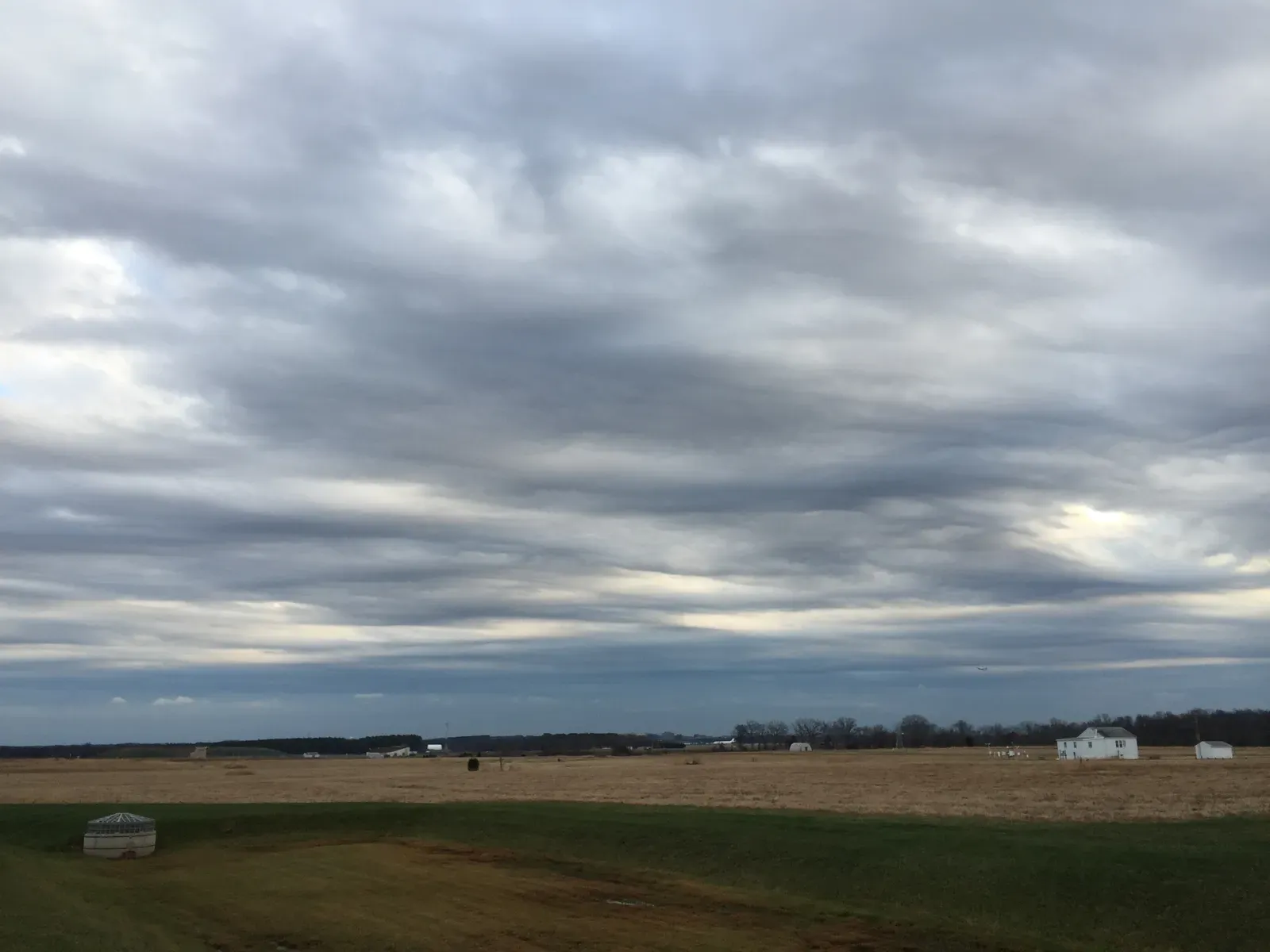
Sometimes the calm has less to do with a storm “sucking in” nearby air and more to do with what kind of air mass gets left behind. Warm dry air is more stable than moist air, so if the more unstable, warm, moist air is being sucked into a storm system such as a hurricane, this leaves the drier more stable air behind, which is what grants the calm before the storm. Stability, in meteorological terms, simply means air that resists rising and forming clouds.
Stable air is associated with calmer weather conditions but it doesn’t always mean clear skies, since stable air masses are marked by a lack of convection and calm conditions. That’s an important distinction. A stable, calm sky can still be gray and overcast, with stratiform clouds stretching horizontally for hundreds of miles while producing steady light rain or drizzle.
The Hurricane Eye: Calm, but Not Actually “Before” Anything
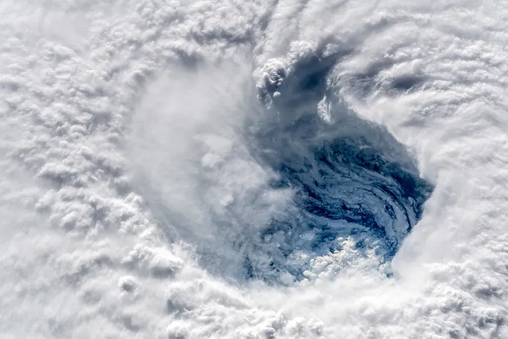
Hurricanes complicate the phrase in a different way, because their most famous calm zone isn’t really before the storm at all. The rotating winds of a hurricane lead to the development of the characteristic “eye,” the calm, clear center of the storm, which is surrounded by the eyewall where winds are strongest. People sometimes mistake the eye’s arrival for the storm ending.
That mistake can be dangerous. The sudden change of very strong winds to a near calm state is a dangerous situation for people unfamiliar with a hurricane’s structure, since some may think the storm has passed when actually it’s only half over, with dangerous eyewall winds returning shortly from the opposite direction. NOAA’s own guidance is direct about this risk, warning people to never go outside during the calm period when the eye of the storm passes.
The Physics Behind Why Hurricane Eyes Form at All
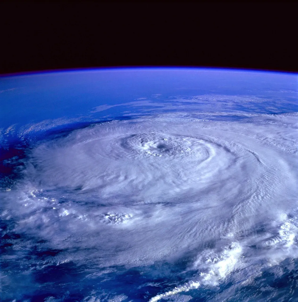
The eye itself is a genuinely strange structure, and scientists still don’t have a complete, tidy explanation for why it forms. For reasons that remain unclear, not all the air that rises from updrafts flows over the outer edge of the storm, a small amount instead sinks down through the storm’s center, and once the weight of that sinking air overtakes the strength of the updrafts, it slowly descends, creating a rain-free area. That sinking air is what keeps the eye dry and comparatively still.
Far from being a passive lull, the eye’s formation is actually tied to the storm getting stronger. The formation of an eye, that circular blue-sky patch typically 20 to 40 miles across, almost always indicates that a tropical storm is becoming more organized and stronger. A recent NOAA climatology analyzing decades of storms found that storms with an eye had average wind speeds nearly three times stronger than those that never produced an eye.
Barometric Pressure: The Real Early Warning Sign
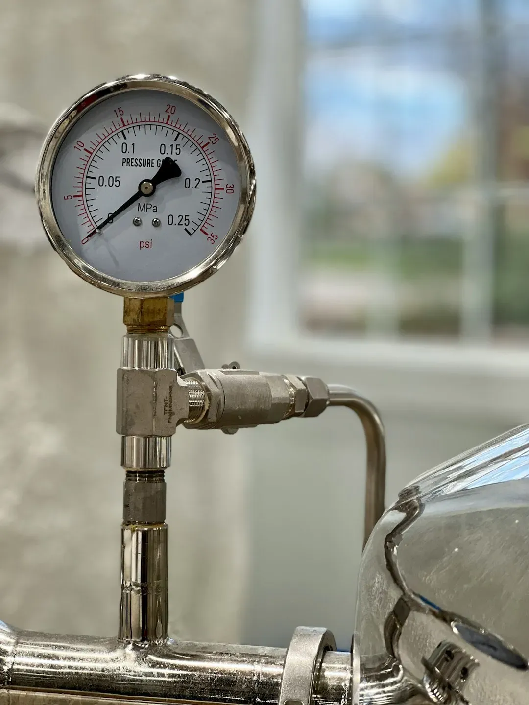
If there’s a genuinely reliable predictor hiding inside the folk wisdom, it’s pressure, not silence. Before a storm hits, barometric pressure plays a crucial role in weather prediction, and a drop in barometric pressure signals that a storm may be approaching, since meteorologists rely on these atmospheric pressure changes to forecast severe weather. This drop can start well before any visible change in the sky.
Timing varies, but forecasters have a rough window to work with. Warm, rising air makes the atmosphere less dense, lowering surface pressure, and this can indicate a storm often twelve to twenty four hours before clouds or rain appear. In the most extreme cases, called bomb cyclones, pressure falls by at least 24 millibars in a single day, resulting in explosive strengthening with hurricane-force winds, heavy precipitation, and volatile atmospheric motion.
Tornadoes and the Eerie Silence That Doesn’t Always Show Up
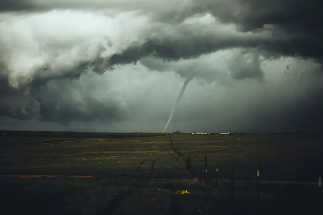
Tornadoes carry their own version of the calm myth, and it’s just as inconsistent as the thunderstorm version. A tornado is a low-pressure system, and as the vortex approaches, the atmospheric pressure drops sharply. Many storm survivors describe a strange lull right before touchdown, but that experience isn’t universal.
While many people report a sudden drop in wind and a period of eerie silence before a tornado, it does not happen in every case, since some tornadoes are wrapped in heavy rain and high winds, making them difficult to see or hear until they are very close. This is exactly why meteorologists discourage waiting for a “quiet moment” as a warning sign. You should always rely on official warnings rather than waiting for a period of calm.
Do Animals Really Sense Storms Coming?
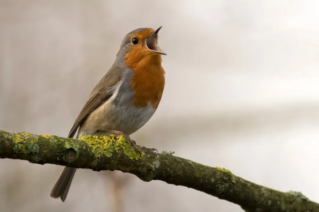
The idea that animals go quiet or act strangely before a storm has some scientific backing, though it’s more nuanced than the folklore suggests. One theory suggests that animals are highly attuned to fluctuations in barometric pressure, which drops significantly before a hurricane hits, while another possibility is that animals can sense the infrasound produced by hurricanes, sound waves imperceptible to the human ear that may alert them well in advance. Birds in particular have drawn real research attention.
A well documented 2014 study offers one of the stronger pieces of evidence here. A UC Berkeley-led research team found that golden-winged warblers in Tennessee fled the path of tornado-generating storms one to two days ahead, well before any local signs of troubling weather. Researchers concluded infrasound emerged as the most logical explanation for how the birds got their advance warning, since events like storms create higher frequencies discernible by humans but also generate infrasound waves that can travel thousands of kilometers away.
When There’s No Calm at All
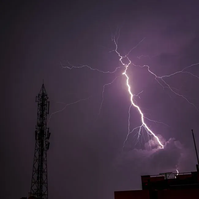
Perhaps the most important corrective to the whole myth is simply this: plenty of dangerous weather arrives with no quiet buildup whatsoever. Not every storm system is preceded by calm weather, since the atmosphere is filled with complex wind, moisture, pressure, and temperature patterns, and all of these factor into the type of conditions seen before a storm moves through. Squall lines and fast-moving fronts often bring rising winds well ahead of the rain, not stillness.
This is really the core lesson meteorologists want the public to take away. The phrase captures a real, specific mechanism that shows up under certain conditions, particularly with isolated thunderstorms and tropical cyclone eyes, but it was never meant to be a forecasting rule anyone could count on. Reliable warning still comes from pressure readings, radar, and official alerts rather than the feel of the air on a given afternoon.
