

Land tells two very different stories depending on which hemisphere you’re looking at. In the United States, vast stretches of desert, mountain, and forest remain locked away under federal or state protection, some of it by accident of geography, some of it by decades of deliberate policy. Meanwhile, across South America, the opposite trend is unfolding at an alarming pace, with primary rainforest and savanna disappearing faster than almost anywhere else on the planet.
This gallery-style rundown pairs the two realities side by side. First, a look at the ten U.S. states where the federal government and conservation agencies control the largest share of the landscape. Then, a shift south to six regions where forest loss has become one of the defining environmental crises of the decade.
1. Nevada
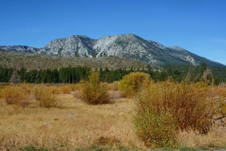
Nevada holds the title for the highest percentage of federally controlled land of any state in the country. Nevada has about 85 percent of its land under federal ownership, the highest share of any state in the westernmost United States. Much of this consists of high desert basin-and-range terrain managed by the Bureau of Land Management rather than dramatic national parks.
The scale here is almost hard to picture from the ground. The government owns nearly 80 percent of Nevada’s more than 70 million acres, with the Bureau of Land Management controlling almost all of that federal land. That means the average Nevadan lives surrounded by public land whether they realize it or not, from remote basins to protected wildlife corridors.
2. Utah
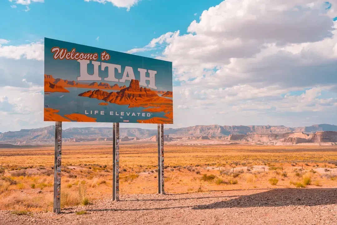
Utah ranks close behind Nevada, and the state’s relationship with its federal landlord has become a genuine political flashpoint in recent years. Utah’s federal land ownership sits at roughly 65 percent, among the highest shares in the West. Iconic red rock parks like Zion and Bryce Canyon sit inside a much larger patchwork of protected wilderness, national forest, and BLM acreage.
That patchwork has recently become a legal battleground. Utah petitioned the U.S. Supreme Court to address whether the federal government can legally retain perpetual ownership of 18.5 million acres of unappropriated land within the state. Several neighboring states filed briefs supporting Utah’s position, signaling this debate over protected land isn’t going away quietly.
3. Idaho
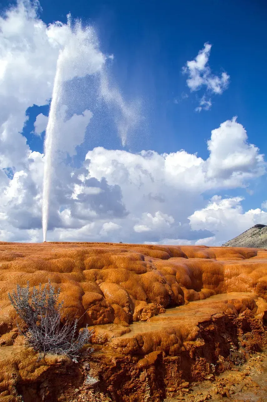
Idaho’s mountains, wilderness areas, and national forests make it one of the most heavily protected states in the Rockies. Idaho’s federal land share runs around 60 percent, tying it closely with Alaska. The state contains some of the largest contiguous wilderness areas in the Lower 48, including the sprawling Frank Church-River of No Return Wilderness.
Idaho’s political leadership has also weighed in on federal land questions, joining other Western states in supporting efforts to challenge or renegotiate federal control. Idaho, Alaska, Wyoming, and Arizona filed amicus briefs in support of Utah’s land ownership lawsuit. Regardless of how that plays out legally, the sheer volume of protected backcountry in Idaho remains a defining feature of the state.
4. Alaska
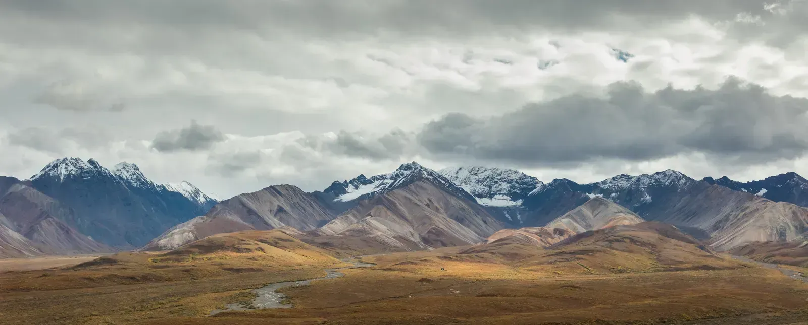
No state comes close to Alaska in raw acreage of protected and federally managed land. Alaska has the most federal land of any state at 222.7 million acres, even though it doesn’t hold the highest percentage. Much of this is wilderness in the truest sense, untouched by roads or permanent settlement.
The scale of federal presence here reshaped national conservation policy decades ago. The Alaska National Interest Lands Conservation Act of 1980 more than doubled the size of the National Parks System in one stroke, protecting more than 157 million acres of land in Alaska. Agencies like the Fish and Wildlife Service also concentrate the bulk of their acreage here, since the U.S. Fish and Wildlife Service manages more than 89 million acres nationwide, with over 86 percent of that located in Alaska.
5. Oregon
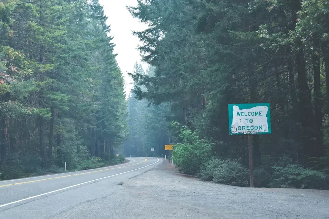
Oregon’s forests, high desert, and coastline give the federal government a substantial footprint in the state. Oregon’s federal land share is around 53 percent, putting it firmly in the upper tier of protected states. National forests dominate much of this acreage, supporting everything from old-growth timber stands to popular recreation corridors.
Unlike the drier basin states further south, Oregon’s protected lands skew toward dense conifer forest and volcanic terrain. That mix has made land management a genuinely contentious issue locally, particularly around logging access and wildfire risk in national forest boundaries. Still, the overall footprint keeps Oregon consistently ranked among the most protected states in the country.
6. Wyoming
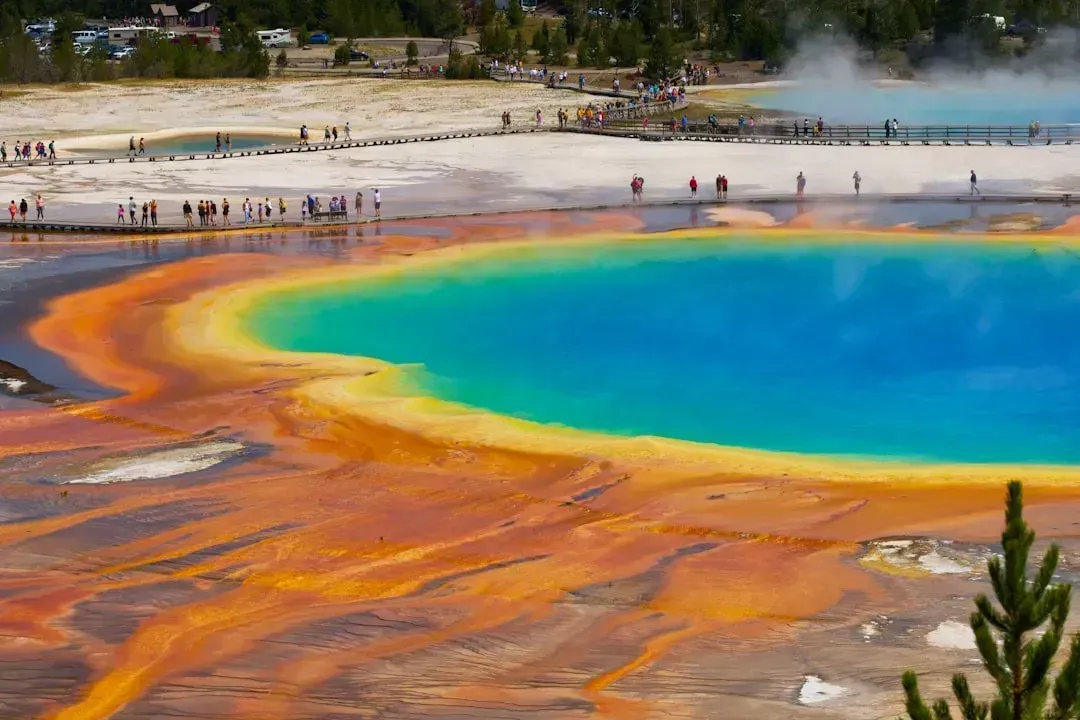
Wyoming’s federal land holdings anchor two of the most visited national parks in the country, Yellowstone and Grand Teton. Wyoming’s federal ownership share sits at about 48 percent of the state. Much of the remaining acreage falls under BLM grazing and multiple-use designations rather than strict wilderness protection.
Wyoming has also joined the broader Western pushback against federal control, aligning with Utah’s recent legal challenge. Wyoming filed an amicus brief supporting Utah’s Supreme Court petition over federal land ownership. The debate hasn’t changed the numbers yet, and Wyoming remains one of the most federally dominated landscapes in the region.
7. California
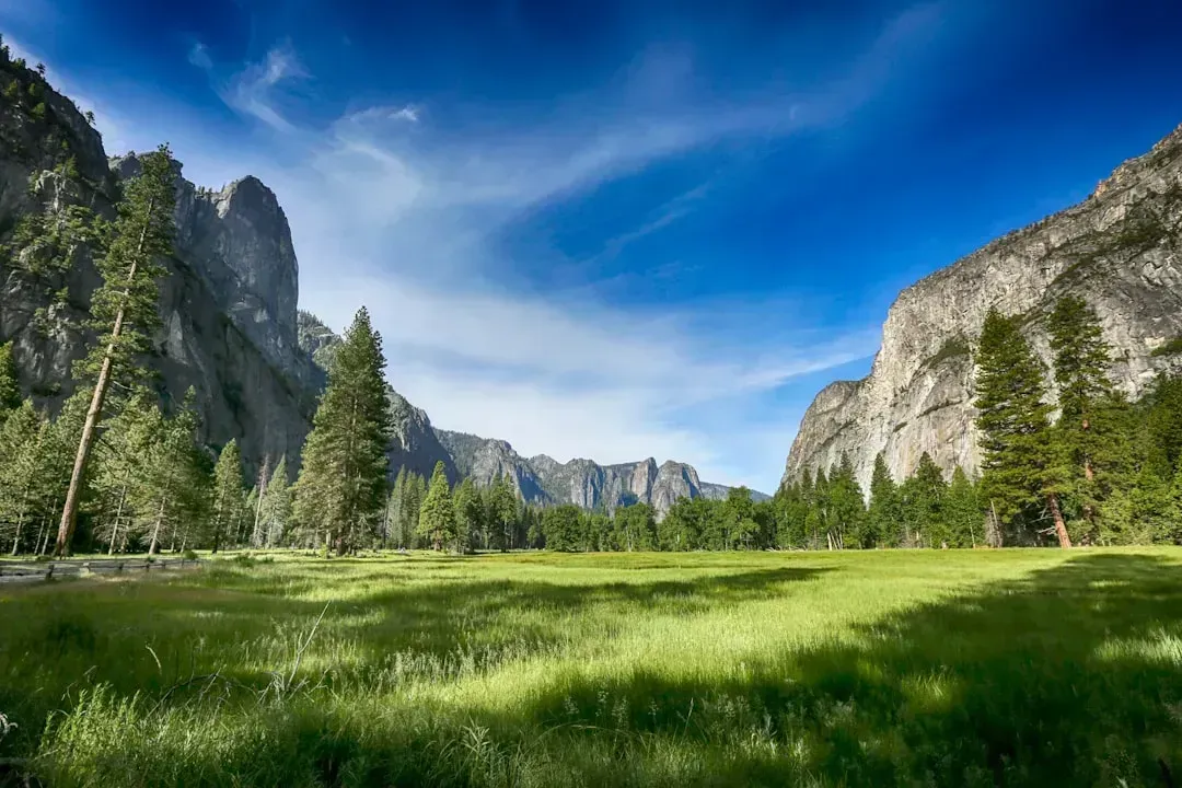
California pairs a huge population with an enormous amount of protected wilderness, a combination that makes its conservation footprint especially notable. California’s federal land share is roughly 46 percent of the state. The state also leads the nation in sheer park count and variety.
National parks alone account for a striking share of protected acreage here. California has nine of the nation’s national parks, the most of any state, with combined acreage exceeding 6.3 million acres. Add in state parks, of which California has 270, and the Golden State’s protected land total becomes one of the most diverse in the country.
8. Arizona
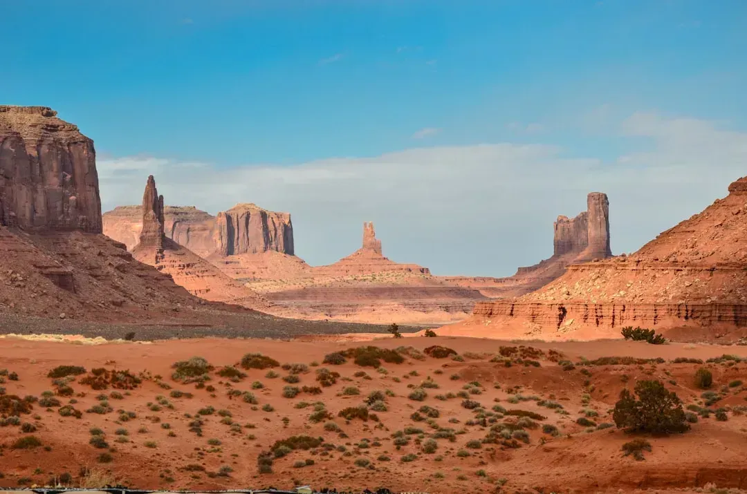
Arizona’s desert landscapes, canyon country, and tribal lands combine to put a large share of the state under some form of federal or protected status. Arizona’s federal land ownership is close to 39 percent. The Grand Canyon anchors the state’s protected land identity, but BLM desert holdings make up a large share of the total too.
Arizona’s political leadership has also been active in the broader Western lands debate. Arizona’s legislature filed an amicus brief supporting Utah’s federal land lawsuit. Even with that pushback, Arizona’s protected acreage remains substantial and central to its tourism economy.
9. Colorado
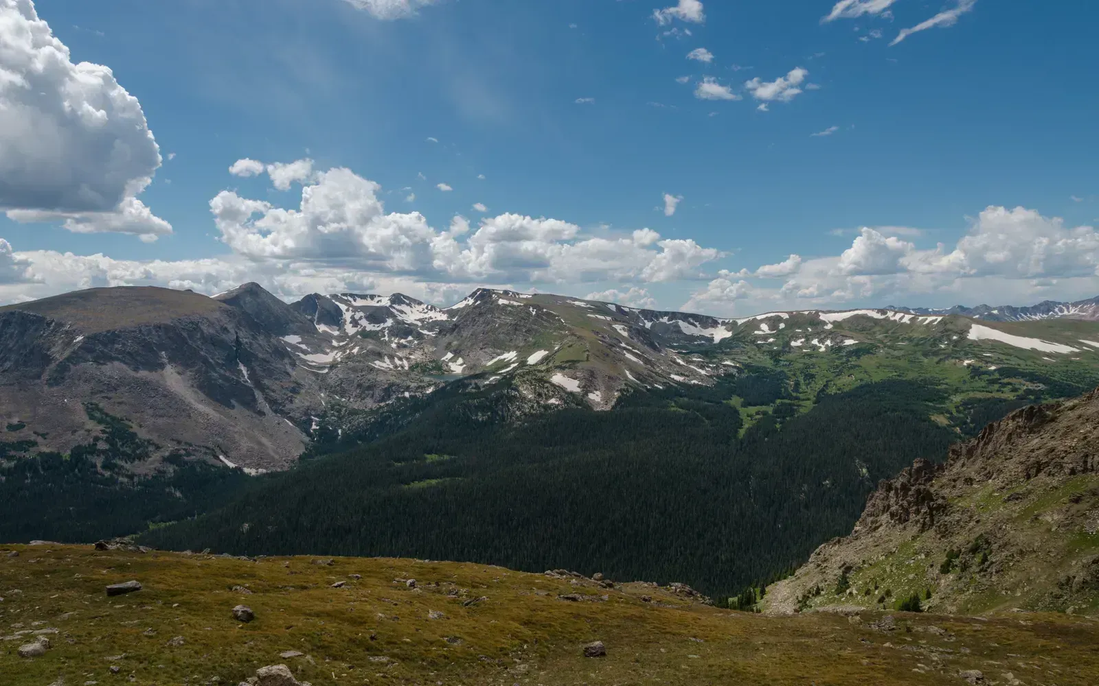
Colorado’s Rocky Mountain terrain places over a third of the state under federal management. Colorado’s federal land share stands at about 35 percent. National forests dominate much of this acreage, threading through the high peaks that define the state’s outdoor recreation industry.
Wilderness designations here tend to concentrate around ski country and alpine terrain, protecting watersheds that feed into the Colorado River basin. This isn’t the largest share among Western states, but combined with state parks and wildlife areas, it still makes Colorado one of the more heavily protected landscapes in the region. Growth pressure along the Front Range has only reinforced the value locals place on that protected backcountry.
10. New Mexico
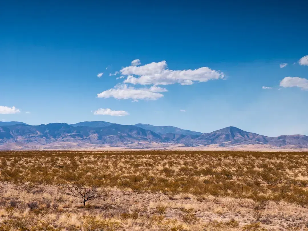
New Mexico rounds out the list with a federal land share nearly identical to its neighbor Colorado. New Mexico’s federal land ownership sits at approximately 35 percent of the state. Much of this consists of high desert, national forest, and tribal trust land spread across dramatic mesa and canyon country.
The state’s protected acreage supports everything from Carlsbad Caverns to sprawling BLM wilderness study areas in the north. Unlike some neighboring states, New Mexico hasn’t been at the center of recent federal land lawsuits, though it shares the same underlying tension between conservation, grazing rights, and resource development. The result is a quieter but still substantial conservation footprint across the state.
1. The Brazilian Amazon
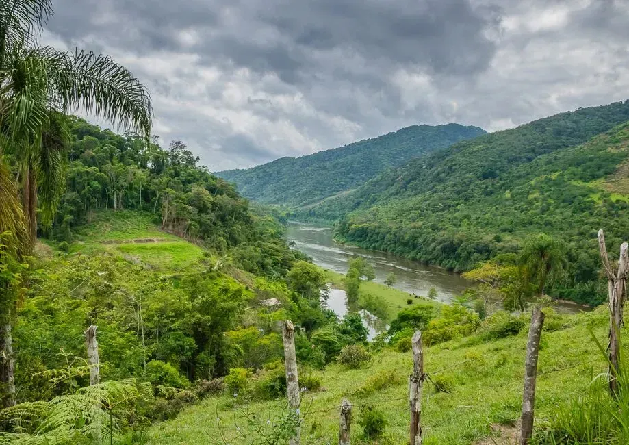
The Brazilian Amazon remains the single largest driver of forest loss on the continent, even as recent enforcement has slowed the bleeding somewhat. Brazil contains the world’s largest stretch of tropical forest and remains the single biggest source of forest loss on the planet, though deforestation within the Amazon dropped 11 percent between August 2024 and July 2025 due to renewed government enforcement. That’s a meaningful improvement, but the region still lost thousands of square kilometers of forest in a single year.
Much of the pressure comes from agricultural expansion pushing deeper into the forest interior. Highways like BR-163 carve through dense canopy in the Brazilian Amazon, opening land for soy plantations and cattle pastures, with soy expansion alone claiming millions of hectares. Fire adds another layer of damage on top of direct clearing, with escaped agricultural burns scorching additional forest each dry season.
2. The Brazilian Cerrado
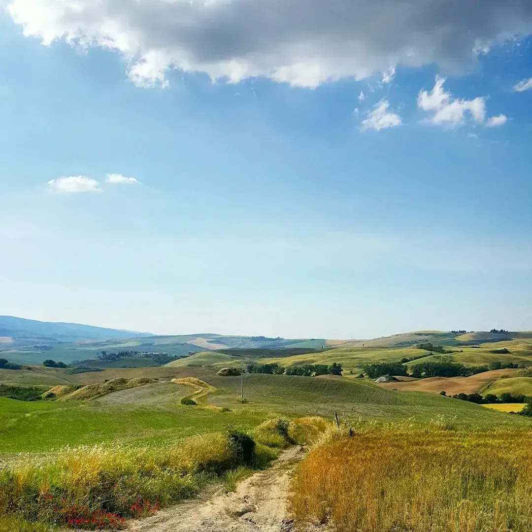
Just south and east of the Amazon sits the Cerrado, a tropical savanna that gets far less international attention despite facing similarly intense pressure. The Cerrado saw an 11.5 percent drop in clearing recently, yet it remains under heavy pressure from cattle ranching and soy farming, and because it has far fewer legal protections than the Amazon, agricultural expansion continues to eat into it year after year. That protection gap is the core problem here.
Because the Cerrado lacks the same legal safeguards as the Amazon biome, landowners face fewer restrictions when converting savanna into farmland. This makes it one of the fastest-changing landscapes in Brazil even when headline Amazon numbers look encouraging. Conservationists increasingly view the Cerrado as the next major battleground for South American forest and grassland protection.
3. Bolivia’s Lowlands
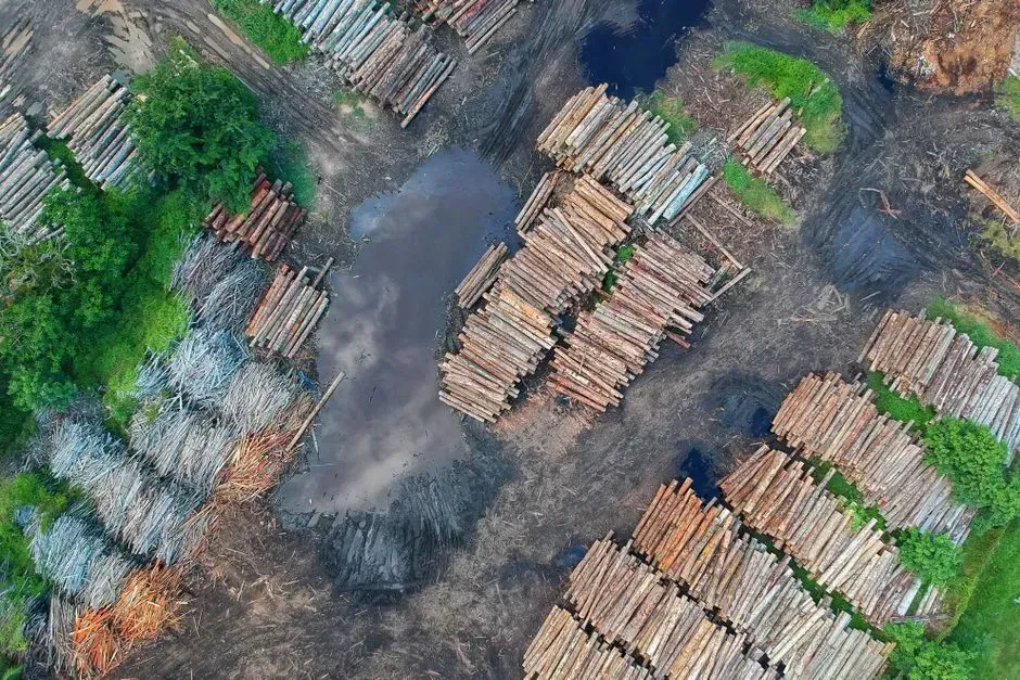
Bolivia has emerged as one of the most alarming deforestation stories of the past two years, overtaking countries that historically ranked far higher. Bolivia overtook Indonesia as the world’s second-largest source of tropical primary forest loss in 2024, after losing 1.5 million hectares of primary forest that year, a 200 percent increase from 441,000 hectares in 2023. That kind of jump in a single year is virtually unprecedented for a country of Bolivia’s size.
Fire has played an outsized role in driving this surge, compounding damage from agricultural clearing and mining. Fires affected roughly 12 percent of the entire country during this period. Gold mining and shifting crop patterns have added further pressure, making Bolivia’s Amazon flank one of the most closely watched deforestation fronts on the continent today.
4. The Colombian Amazon
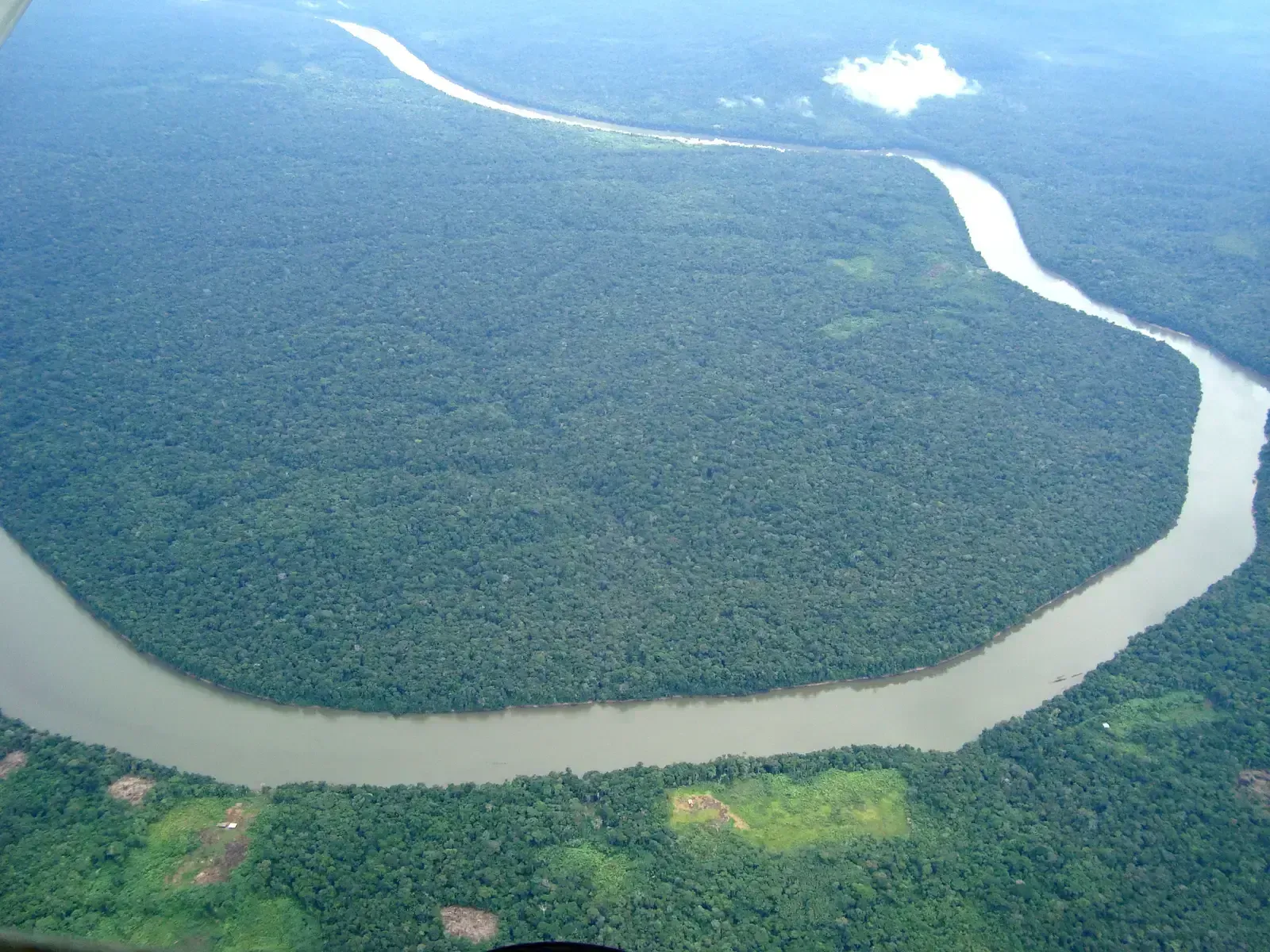
Colombia’s forest loss has also accelerated sharply in recent reporting periods, driven by a mix of land grabbing, coca cultivation, and cattle expansion. Colombia deforested 79,256 hectares in 2023 according to national monitoring, with 2024 seeing an estimated 50 percent jump in primary forest loss. That kind of acceleration is particularly concerning given Colombia’s earlier progress in reducing clearing rates.
Much of the country’s forest loss concentrates in former conflict zones where illegal armed groups have historically controlled land use decisions. As government presence shifts in these areas, agricultural and ranching interests often move in quickly, clearing forest before formal protections can catch up. This dynamic has made enforcement notoriously difficult even when national policy officially favors conservation.
5. Peru’s Amazon Basin
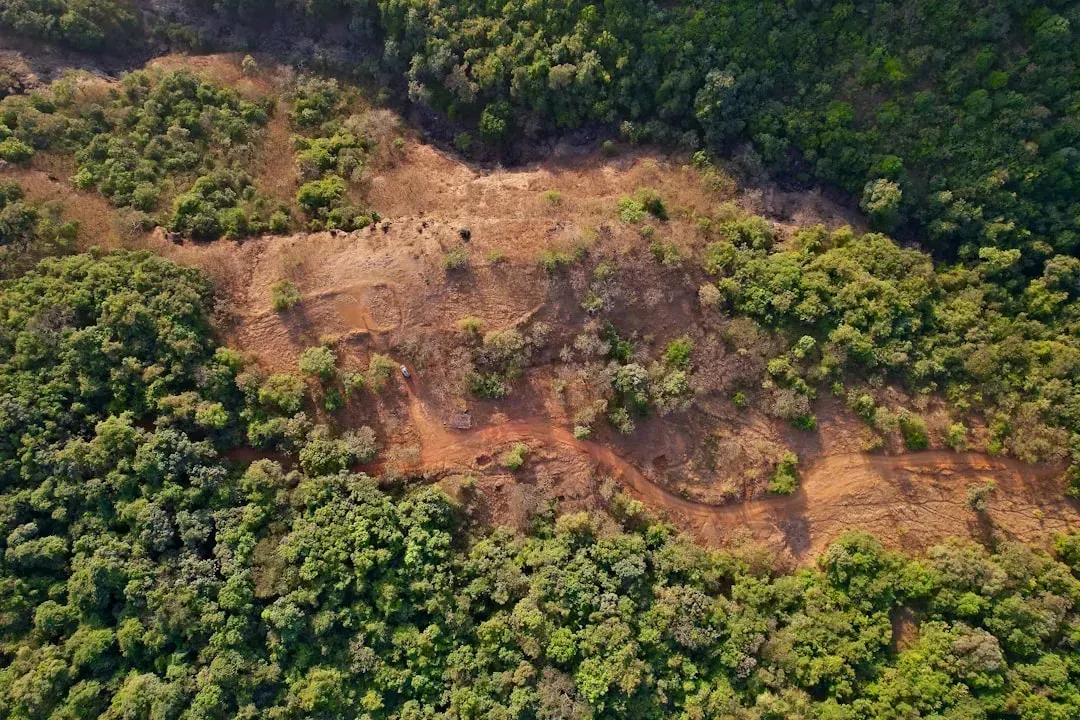
Peru’s forest loss has followed a slower but still steady trajectory over the past two decades, with protected areas offering only partial insulation from the broader trend. Peru lost 3.4 million hectares of forest between 2000 and 2020, mainly in the not flooded rainforest region, with national deforestation rates accelerating while rates inside protected areas showed only a very small increase. That gap between protected and unprotected zones highlights how much clearing happens just outside official boundaries.
Interestingly, not every region within Peru follows the same pattern. Regional deforestation rates generally followed the national pattern, with one notable exception in the Coast region. That regional variation suggests local land use policy and enforcement capacity matter as much as national-level commitments when it comes to actually slowing forest loss on the ground.
6. The Gran Chaco (Argentina, Paraguay, and Bolivia)
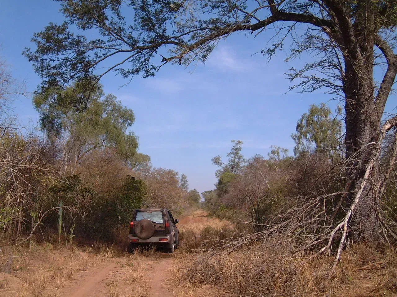
The Gran Chaco spans parts of Argentina, Paraguay, and Bolivia, forming one of South America’s largest dry forest ecosystems and one of its fastest-disappearing. Cattle ranching and soy expansion have driven relentless clearing here for years, often outside the media spotlight that follows Amazon deforestation. Because much of the Chaco isn’t classified as rainforest, it historically attracted less international conservation funding despite comparable ecological importance.
The broader continental picture makes clear why regions like the Chaco matter so much to the overall trend. Between 2015 and 2025, South America lost more forest than any other region on the planet, an estimated 41 million hectares, and the region accounts for the largest global net loss despite international commitments to halt deforestation by 2030. Dry forest ecosystems like the Chaco make up a meaningful share of that continental total, even when they don’t dominate headlines the way Amazon fires do.
Taken together, these two lists capture a striking contrast in how land gets used, protected, or lost depending on where you stand. The American West has spent more than a century building out a system of federal ownership that, whatever its political controversies, keeps enormous stretches of desert, mountain, and forest off-limits to large-scale development. South America is grappling with the opposite pressure, watching agricultural expansion, mining, and fire erode forest cover across multiple countries at a pace that outstrips nearly every other region on Earth.
Neither story is finished. Legal battles over federal land in Nevada, Utah, and Wyoming could reshape American conservation policy within the next few years, while enforcement efforts in Brazil and mounting losses in Bolivia suggest South America’s deforestation curve could bend in either direction depending on political will and international pressure. What happens to these landscapes next will say a lot about how seriously both continents take the idea of protection when it actually costs something.

- Time Moving Measurably Slower Near Orbit – 5 Relativistic Quirks Astronauts Face - November 13, 2026
- 6 Things Scientists Monitor in Space That Most People Never Think About - November 13, 2026
- I Asked AI and a Waste Auditor How to Cut My Household Trash – Where They Disagreed - November 12, 2026
