

- The Planet Where It Rains Liquid Glass – 7 Alien Worlds Defying Known Physics - November 14, 2026
- Stars Consuming Entire Worlds – 6 Planetary Systems Swallowing Their Own Worlds - November 14, 2026
- The Ground Liquefies Like Water – 6 Silent Fault Lines Geologists Watch Closely - November 14, 2026
In late October 2024, parts of eastern Spain received about a year’s worth of rain in a matter of hours. The floodwaters killed about 241 people and caused substantial property damage. It was one of the most striking flood events Europe has seen in decades.
Scientists say it wasn’t a one-off. Several studies published in 2025 and 2026 point to a mix of warmer seas, heavier downpours and fast-growing cities. The picture is not simple, though, and researchers still disagree on some details.
Valencia 2024 Changed the Conversation
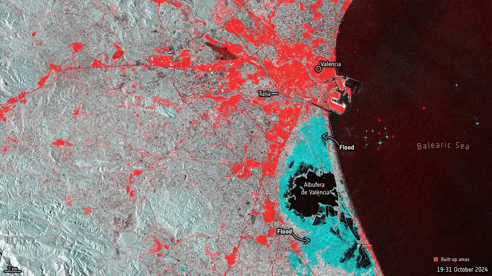
The scale of the Valencia disaster shocked many people. Spain’s weather agency AEMET recorded 491 liters per square meter in eight hours in Chiva, roughly a year’s rainfall. The resulting flood overflowed the Barranco del Poyo and hit towns such as Alfafar, Catarroja, Massanassa and Paiporta.
Death tolls vary by source and by how the affected area is counted. One peer-reviewed analysis cites 224 fatalities in the Valencia region. Other sources give slightly different totals for Spain as a whole. All of them agree this was among the deadliest flood disasters in modern Spanish history.
Warmer Seas Are Loading the Atmosphere
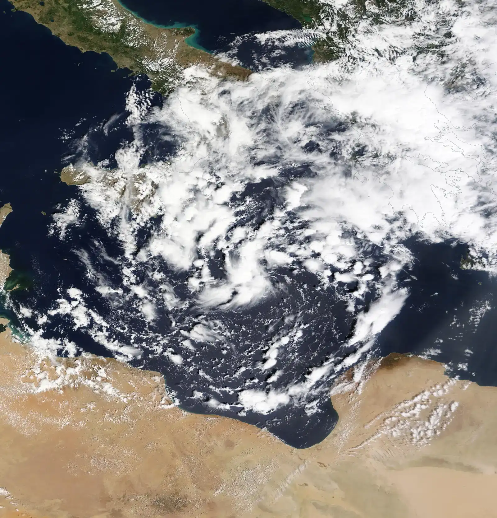
A flash flood needs moisture, and the Mediterranean Sea supplies a lot of it. A 2025 attribution study of the Valencia storm found that warmer sea surface temperatures added atmospheric moisture, which increased convective energy and strengthened updrafts. The authors also note that western Mediterranean sea temperatures reached record levels in summer 2024.
The researchers estimated that human-driven climate change intensified the 6-hour rainfall rate by 21% and increased total rain volume in the Jucar River catchment by 19% compared with pre-industrial conditions. That’s a single-event simulation, not a universal rule. Still, it shows how a few degrees of warming can add real rain to an already dangerous storm.
Less Rain Overall, but Harder Rain When It Comes
The Mediterranean is often called a climate hotspot for a slightly counterintuitive reason. A 2026 hydrology paper describes it as a region where annual precipitation decreases but rainfall intensities increase. Dry spells and sudden deluges can happen in the same place and the same year.
Modeling backs this up. A 2025 study using high-resolution models reported good agreement on an increase in hourly and daily rainfall extremes in the Mediterranean. Short, violent bursts are exactly what overwhelm drains, streets and small streams.
Cut-Off Lows Bring the Trigger
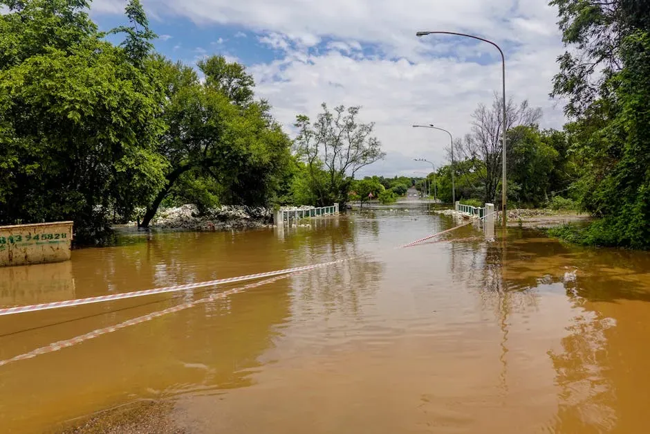
The weather pattern behind many Spanish floods is the DANA, a Spanish acronym for an isolated high-level depression, also called a cut-off low. This pattern brought over a year’s worth of precipitation to parts of eastern Spain in 2024. These systems can stall over a region and keep feeding storms with sea moisture.
Research on a series of floods in Alcanar, in Catalonia, highlights cut-off lows, warm seas and orographic forcing as drivers of intense rainfall. The same study notes that three severe floods in 2018, 2021 and 2023 had rainfall totals unprecedented in the town’s 30-year record. Scientists are still working out how climate change alters the dynamics of these systems, so the evidence here is less settled than for sea warming.
Cities Turn Rain into Runoff
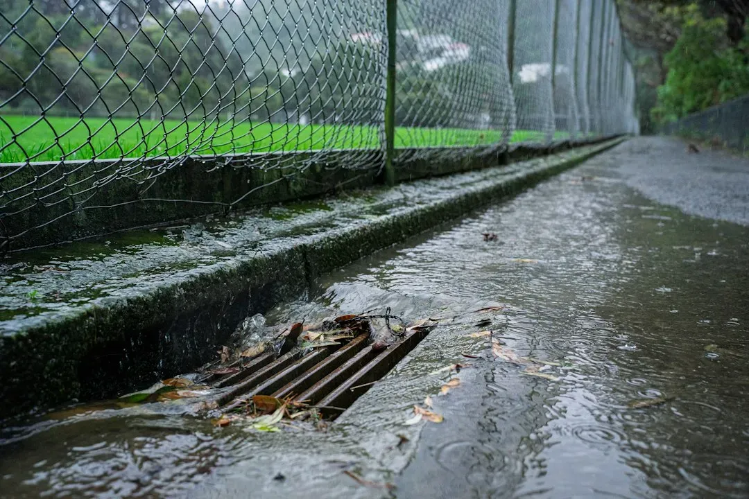
Pavement and buildings don’t absorb water the way soil does. Researchers describe flash floods in the western Mediterranean as a growing hazard because of climate change, rapid urbanization and land-use changes. Water runs off quickly into narrow channels, ravines and low streets.
A 2026 study of small and medium catchments in Israel found a nuanced result. It reported that future rainfall tends to reduce flood peak discharge, while urbanization acts to increase it. In that region, then, how we build may matter as much as how the rain changes.
Rain Alone Doesn’t Predict the Flood
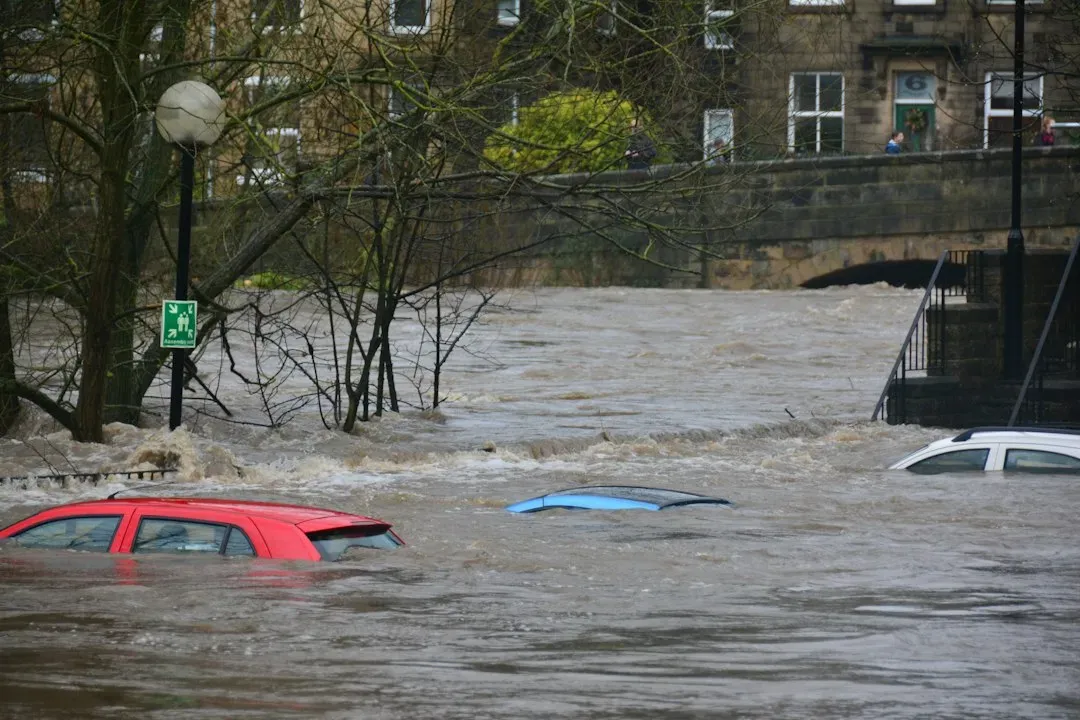
It’s tempting to say that heavier rain always means bigger floods. The evidence is more careful than that. The 2025 modeling study found that rainfall changes are not strongly correlated with changes in flood-peak intensity, so rainfall intensity alone is a poor predictor of future flood hazards.
Soil dryness, terrain, river channels and land cover all shape what happens on the ground. In Valencia, for example, one account notes that rain was relatively light in Paiporta itself, but heavy downpours elsewhere funneled water into the area until the ravine overflowed. That’s why local flood mapping matters so much.
Warnings, Planning and Human Choices
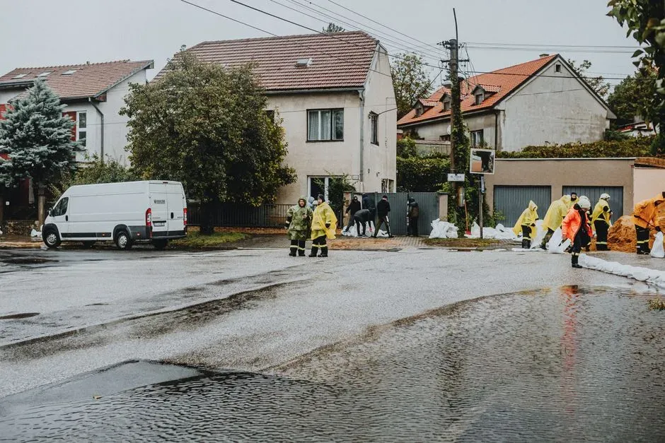
Better forecasts help, but they have to reach people in time. Academic analyses of Valencia point to human factors as well, including urbanization in flood-prone zones and the weakening of emergency response infrastructure. Those findings are contested politically, but they show that a hazard becomes a disaster through exposure and preparedness.
The risk keeps recurring. In October 2026, Storm Adam dropped 700 litres of rain per square metre in 24 hours in parts of the Valencia region, and killed five people. Researchers studying the Alcanar floods call for robust alerts and risk planning.
Conclusion
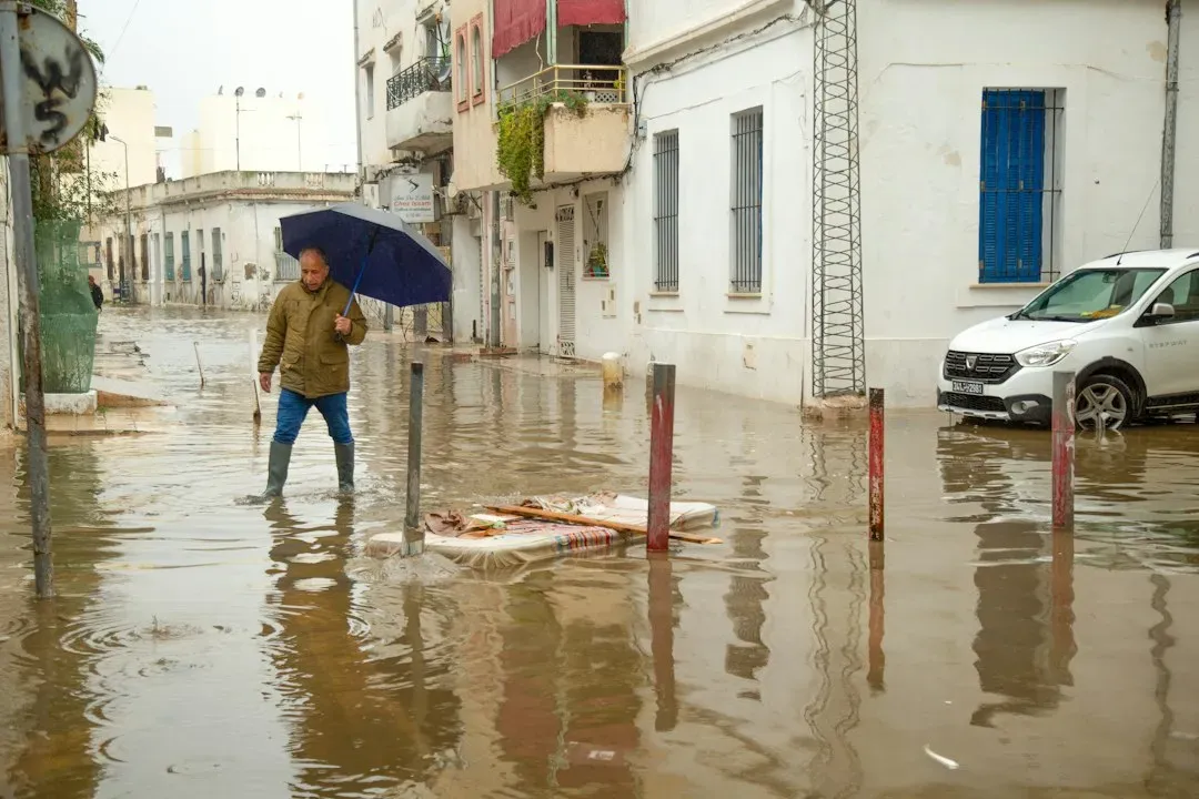
Flash floods in Mediterranean cities are rising in concern for several linked reasons. Seas are warmer, downpours are trending heavier, cut-off lows keep delivering storms, and urban surfaces send water rushing through streets. Scientists are still debating how much each factor contributes in different places.
The most reliable lesson is that the rain is only part of the story. Cities can’t control the weather, but they can control where they build, how they drain water and how fast they warn people.
