

- Atlantic Hurricane Activity Has Often Rebounded After Strong El Niño Years, Records Show - November 15, 2026
- The Planet Where It Rains Liquid Glass – 7 Alien Worlds Defying Known Physics - November 14, 2026
- Stars Consuming Entire Worlds – 6 Planetary Systems Swallowing Their Own Worlds - November 14, 2026
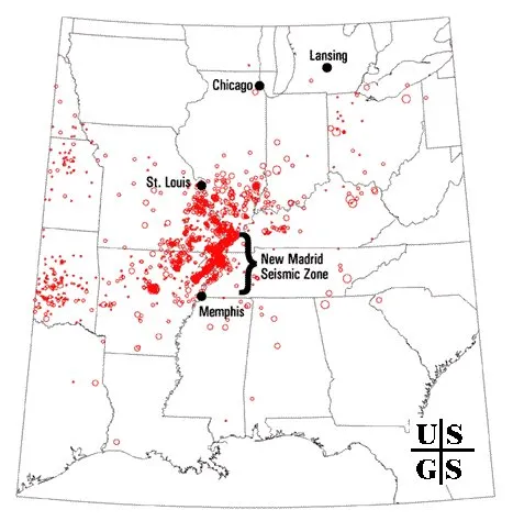
In the winter of 1811 and 1812, the middle of the Mississippi Valley shook hard enough to alarm people far from the epicenter. The region was sparsely settled then. Today it holds cities, river bridges, rail lines and millions of residents.
The fault zone behind those quakes is still active, and scientists still disagree about how to read its history. Here is what the current numbers say, and where the uncertainty is.
Three months that rewrote the record
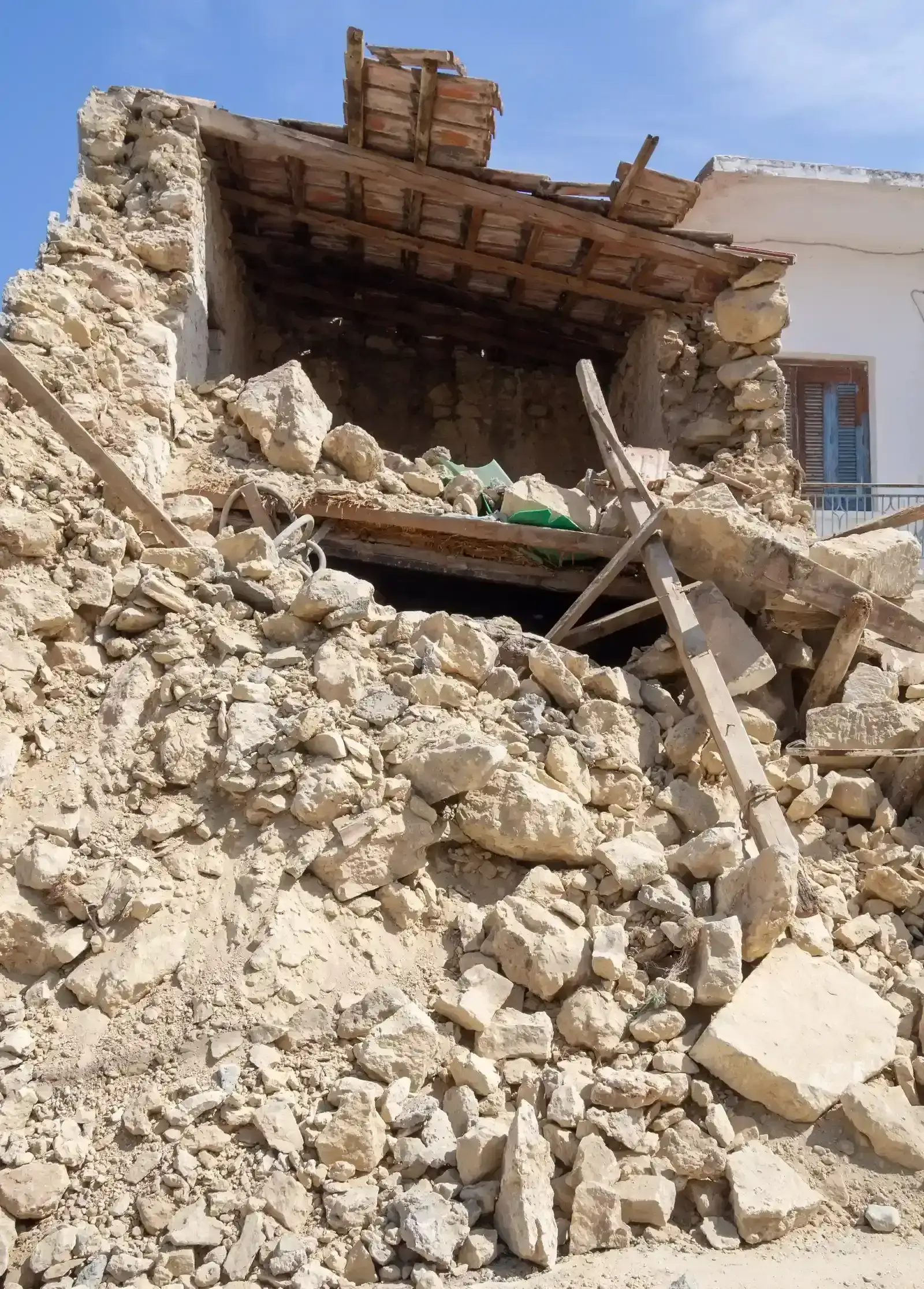
The New Madrid Seismic Zone produced three catastrophic earthquakes of roughly magnitude 7.0 to 7.5 within about three months during the winter of 1811 and 1812. That makes it one of the most powerful earthquake sequences recorded in the contiguous United States.
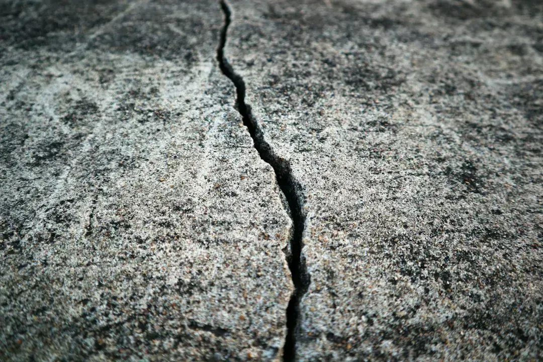
The ground itself changed. According to the USGS, the earthquakes caused ground warping, sand eruptions, fissures and landslides along river banks. Accounts from the period describe effects far beyond the immediate area, and some summaries say the quakes were felt across the entire eastern US.
Why the shaking traveled so far

The reach of those quakes comes down to geology. Seismic waves move efficiently through the old, intact crust of the central U.S. and lose energy more slowly with distance.
That has a practical consequence. A magnitude 7.0 earthquake here would produce damaging shaking over a much larger area than a comparable earthquake in California. So a New Madrid event matters well beyond the towns nearest the fault.
A fault that never went quiet

Nothing about the zone is dormant. It averages about 200 measured events per year of magnitude 1.0 or greater. Tremors big enough to be felt, around magnitude 2.5 to 3.0, happen annually.
Larger shocks come less often. A magnitude 4.0 or greater arrives about every 18 months, and a magnitude 5.0 or greater about once per decade, which can cause significant damage and be felt in several states. Those figures come from Missouri’s state emergency management agency.
What the official odds look like
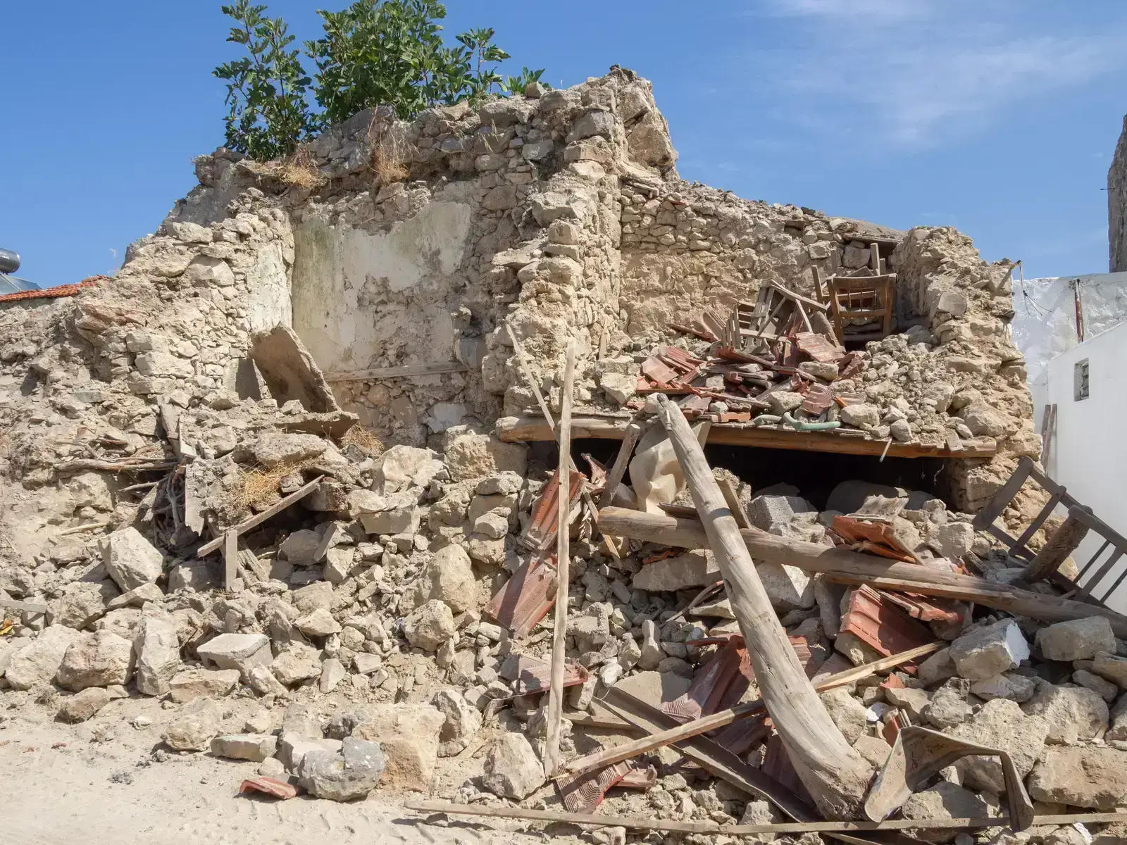
The USGS has put numbers on the hazard. It estimates the chance of a quake similar to one in the 1811 and 1812 sequence over the next 50 years at about seven to ten percent. That works out to roughly one chance in ten to one in fourteen.
A smaller but still serious quake is much more likely. The chance of a magnitude 6 or larger event in 50 years is 25 to 40 percent. In plain terms, that’s somewhere between one in four and two in five over half a century.
How often could a giant quake return?
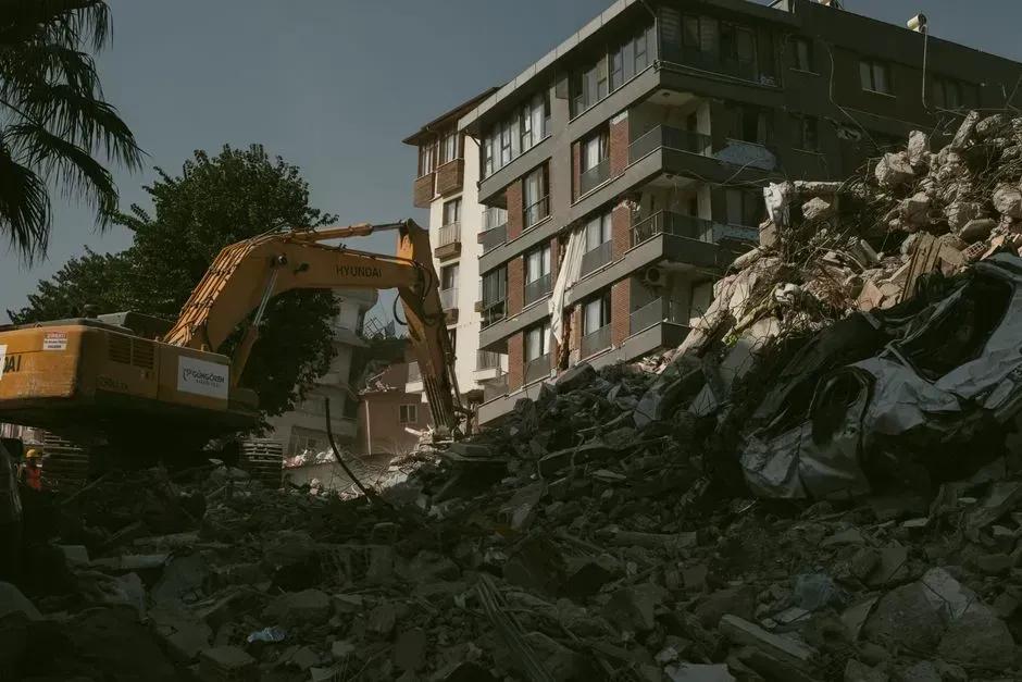
The USGS reports that catastrophic upheavals like those in 1811 and 1812 could visit the region every 500 to 600 years. That interval comes from the geologic record rather than from direct observation. Scientists say the processes behind the large earthquakes of the past 4,500 years are still operating.
There’s also a ceiling to consider. The USGS has said a magnitude 7.6 would likely be the strongest event the zone could produce. Other estimates of the recurrence interval vary, so these figures are best read as ranges.
The “overdue” question and the shutdown debate
Some researchers have argued the zone may be winding down. That argument rested on a lack of measurable surface strain in some areas over about 14 years, suggesting no stress buildup at depth. The USGS took the question seriously.
Its experts reached a different view. There is broad agreement in the scientific community that a major destructive earthquake remains a continuing concern. Meanwhile, one summary of current forecasts notes that the zone can produce a major earthquake but isn’t “overdue” in any predictive sense. Both points hold at once.
Who lives in the shaking zone

The exposure is large. Roughly eleven to twelve million people across eight states live within the highest risk portion of the zone, according to one summary. Estimates of the exposed population differ by source and by how the area is drawn.
Local geology adds to the worry. Most buildings, especially in Memphis, Tennessee, weren’t designed to withstand significant shaking. St. Louis and other communities in the central Mississippi River Valley are also considered vulnerable to severe ground shaking.
Bridges, buildings and the next steps

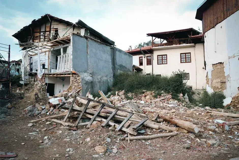
Infrastructure is a clear weak point. Older highways and railroad bridges crossing the Mississippi, along with older overpasses, would likely be damaged or collapse in a major New Madrid earthquake. That could cut transport routes right when they’re needed most.
Watching the zone is routine work. The USGS, the University of Memphis’s CERI and a network of seismometers monitor it continuously. Still, nobody can predict when the next major quake will occur.
Where the evidence leaves things
The New Madrid zone is active, and a magnitude 6 quake within the next 50 years is a realistic possibility. A full repeat of 1811 and 1812 is far less likely, yet it can’t be ruled out.
The USGS position is that the region has a high earthquake hazard, based on repeated large earthquakes in the geologic record, historical accounts and continuing activity. The timing remains unknown.
