

- Phantom Energy Sucking Power 24/7 – 7 Home Electronics Quietly Inflating Utility Bills - November 14, 2026
- A Million-Mile Storm Raging for Centuries – 6 Violent Weather Wonders in Our System - November 14, 2026
- Animals Flee Hours Before the Tremor – 7 Natural Warnings Before Disasters Strike - November 14, 2026
Most snowstorms arrive with a big, slow-moving system you can watch on a map for days. Lake effect snow doesn’t work that way. A narrow band can park over one neighborhood while a town ten miles away stays dry.
Buffalo, New York sits at the eastern end of Lake Erie, which puts it in the path of some of the most intense snow in North America. The record books show how extreme it can get, and the details of how it happens are worth knowing.
How a Lake Turns Cold Air Into Snow
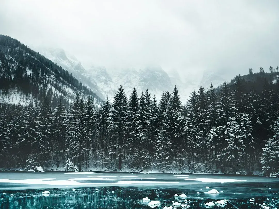
The basic recipe is simple. Cold air moves across a large body of water that’s still relatively warm. The air picks up heat and moisture from the lake, becomes unstable, and rises.
As that moist air climbs, it cools and the moisture condenses into clouds and then snow. Winds then carry the snow downwind and drop it on the lake’s shore. The result is a snowbelt, and Buffalo sits in one.
Why Buffalo’s Location Matters
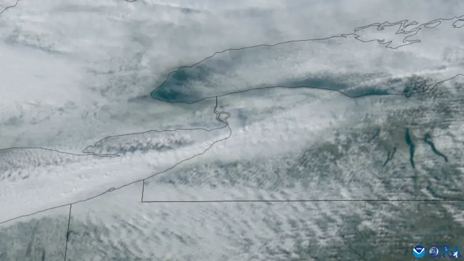
Lake Erie stretches southwest to northeast, and winter winds often blow along that same line. That gives the air a long run over open water, which lets it gather more moisture before it reaches land. Buffalo and the towns south of it are right where that air comes ashore.
Lake Ontario matters too, though it mostly affects areas north and east of Buffalo. Weather.com reported that snowfall records for periods of 24 hours or less are dominated by lake-effect snow events, primarily those from Lake Ontario. So Buffalo isn’t the single snowiest spot in the region, but it’s a major city that gets hit often and hard.
The Snowvember Storm of 2014
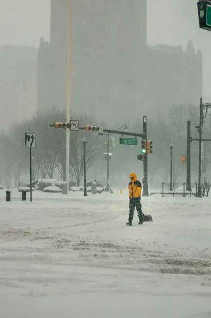
The week before Thanksgiving in 2014 gave the city its most famous lake effect event. A lake-effect snowstorm hammered the Buffalo area for four days with up to 88 inches of snow. The storm came in two rounds, and both brought thundersnow.
The human toll was real. The New York State climate assessment notes that the storms caused 11 deaths and over $46 million in damages. Dozens of flights were rerouted, and major roadways were closed, leaving thousands of travelers stranded.
November 2022 and the Six Foot Day
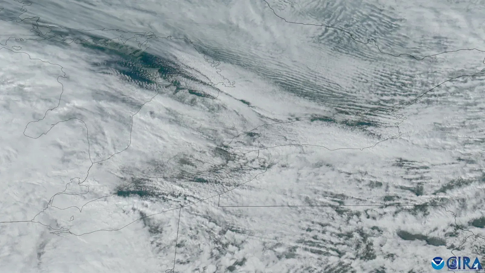
Eight years later, almost to the day, a similar setup returned. A Fox Weather report called it a historic lake-effect snowstorm that buried western New York in almost 7 feet of snow, the fifth highest three day total on record for the city of Buffalo. The National Weather Service noted the pattern resembled the 2014 storm.
Totals varied wildly across short distances. In Cowlesville, about 20 miles east of Buffalo, 88 inches of snow was measured, the highest snowfall amount produced by the storm. At the airport, the daily record for November 19 was reset at 21.5 inches of snow, well above the old mark.
The Christmas Blizzard That Followed
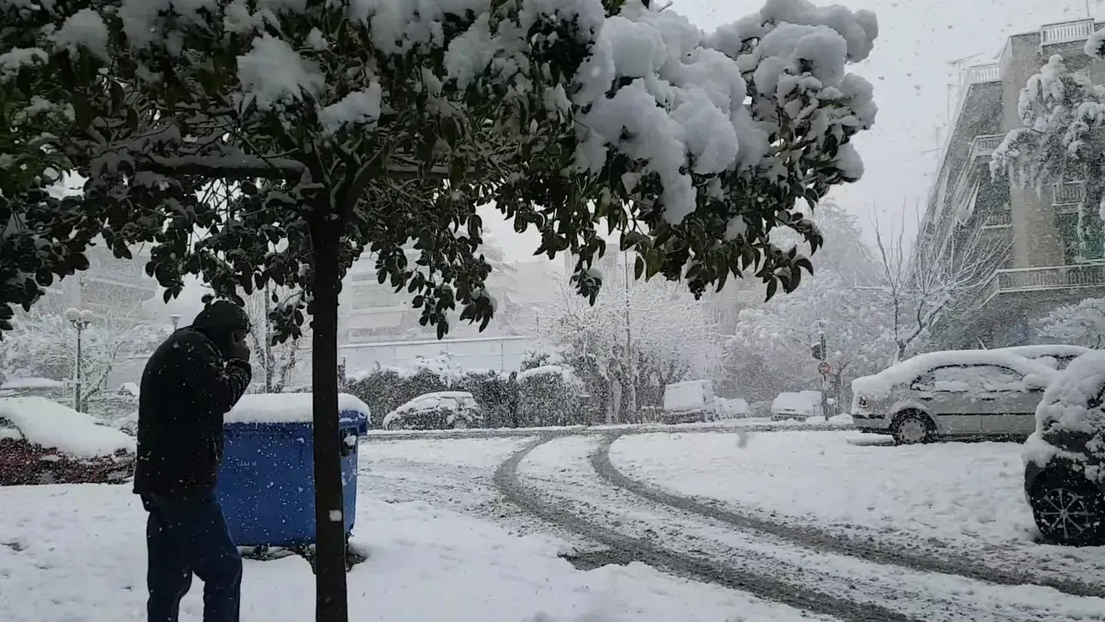
Barely a month later, a different kind of storm hit. A powerful system that brought blizzard conditions across much of the central United States also produced a major lake effect event before Christmas 2022. The storm began as a rain event for Buffalo, with the city receiving 1.98 inches on Friday, breaking the prior daily record.
Arctic air then rushed in and the rain turned to heavy snow. AccuWeather reported that at least 27 fatalities were reported in Erie County, New York, which includes the greater Buffalo area. Weather.com later noted the storm buried roads, trapped motorists and shut down the city’s airport.
Single Bands, Huge Hourly Rates
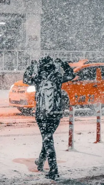
What makes these storms so disruptive is how fast the snow falls. In January 2022, a band stalled over the city, and Fox Weather reported snowfall rates up to 3 inches per hour with near whiteout conditions. The airport finished that day with 17.8 inches of snow on the ground.
That total fell just short of the city’s January one day record. The record for snowiest January day is January 11, 1982 with 18.3 inches of snow. The 2014 storm was even more intense, with up to 6-inch-per-hour snowfall rates measured.
Early Season Snow in November 2024
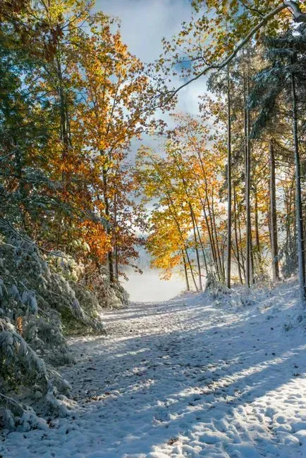
The pattern showed up again in November 2024. Fox Weather described a record breaking event that smothered towns along the eastern shores of the Great Lakes, prompting major road closures and travel bans. Western New York was plagued with at least three feet of snow in some areas.
Forecasters pointed to unusually warm lake water as one reason for the large totals. In that event, communities south of Buffalo remained under the warning and could see an additional 1 to 2 feet through Monday. The city itself had been dropped from the warning by Sunday morning, a reminder of how narrow the bands can be.
What Counts as a Record, and What Might Change
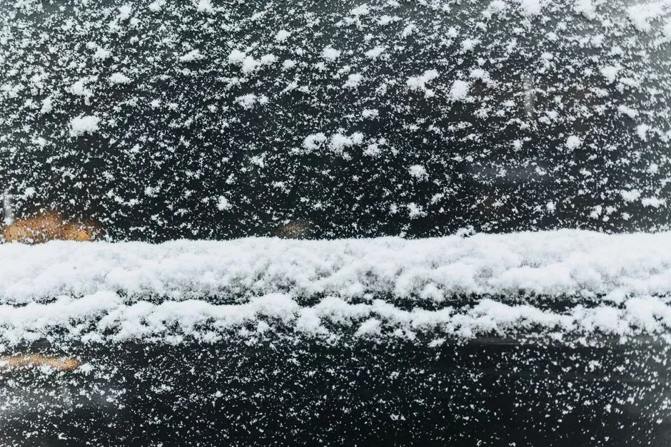
It’s worth keeping the numbers in context. Cornell’s Northeast Regional Climate Center lists the official 24 hour snowfall record for New York as 50 inches on February 1, 1966, in Camden. Several unofficial reports from Buffalo area storms topped 80 inches over multiple days, but those are storm totals, not single day figures.
Researchers also expect the long term picture to shift. The New York climate assessment says that as air temperatures continue to rise, ice coverage will decrease and lake temperatures will warm, which could lead to an increase in lake-effect storms. In the near term, that means open water for longer into winter, which is what these bands feed on.
Staying Safe When a Band Sets Up
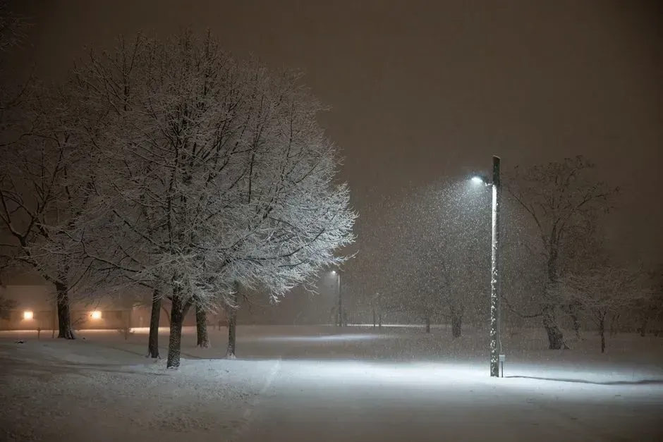
The deadliest part of these storms is often the first few hours. Heavy snow can arrive faster than road crews can clear it, and drivers get trapped, as happened in both 2014 and 2022. When the National Weather Service issues a lake effect snow warning, the safest choice is usually to stay off the road until the band moves on.
Because the bands are so local, conditions can change within a few miles. A clear commute in one suburb may be a whiteout in the next. Checking the National Weather Service Buffalo forecast office for updated band positions is the most reliable way to see where the snow is heading.
