

As Halloween approaches, forecasters at the National Hurricane Center keep a close watch on the Atlantic basin. The season runs through November 30, and late October often brings the final chances for development even as conditions turn less favorable overall.
Right now the basin remains quiet with no active systems or immediate threats expected in the coming week. Still, teams continue daily monitoring because surprises can emerge from lingering moisture or weak disturbances.
Current Basin Conditions

The latest National Hurricane Center outlook states that tropical cyclone formation is not expected during the next seven days across the North Atlantic, Caribbean Sea, and Gulf of America. Satellite imagery and surface analysis show no organized disturbances capable of quick development at this time.
Strong wind shear associated with a broader weather pattern continues to limit organization in many areas. A stationary front and high pressure system also contribute to unsettled but non-tropical conditions north of roughly 27 degrees latitude.
National Hurricane Center Monitoring Role
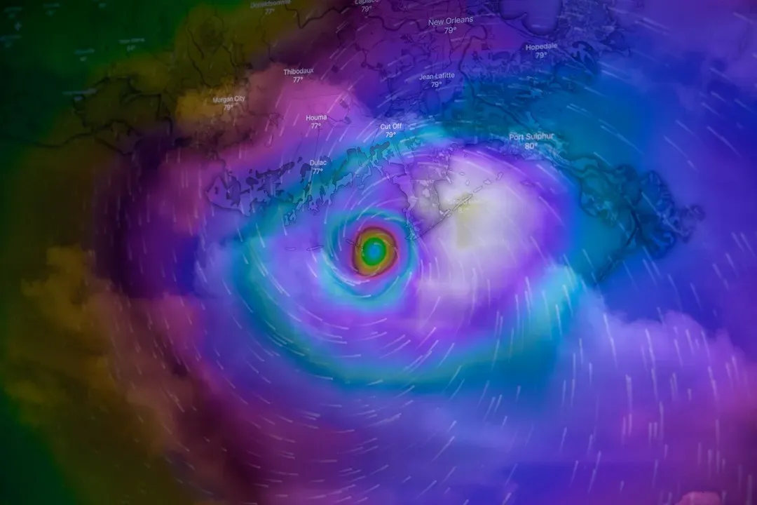
Forecasters issue twice-daily tropical weather outlooks that assess formation chances over 48-hour and seven-day periods. These products draw on satellite data, computer models, and aircraft reconnaissance when needed to provide the most accurate picture possible.
Even during quiet periods the center maintains vigilance because rapid changes can occur with shifting upper-level winds or moisture plumes. Public updates help coastal communities stay informed without unnecessary alarm.
Late October Climatology
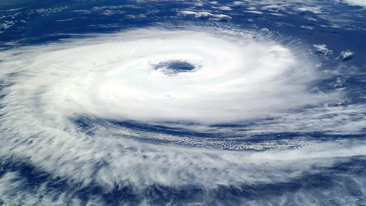
Historically the Atlantic sees fewer named storms after mid-October as sea surface temperatures begin cooling and wind shear increases. Yet systems that do form can still reach tropical storm strength and affect land areas.
October averages several named storms across the basin in a typical year. The current quiet spell aligns with broader expectations for below-normal activity during this two-week window according to seasonal guidance.
Influencing Weather Patterns
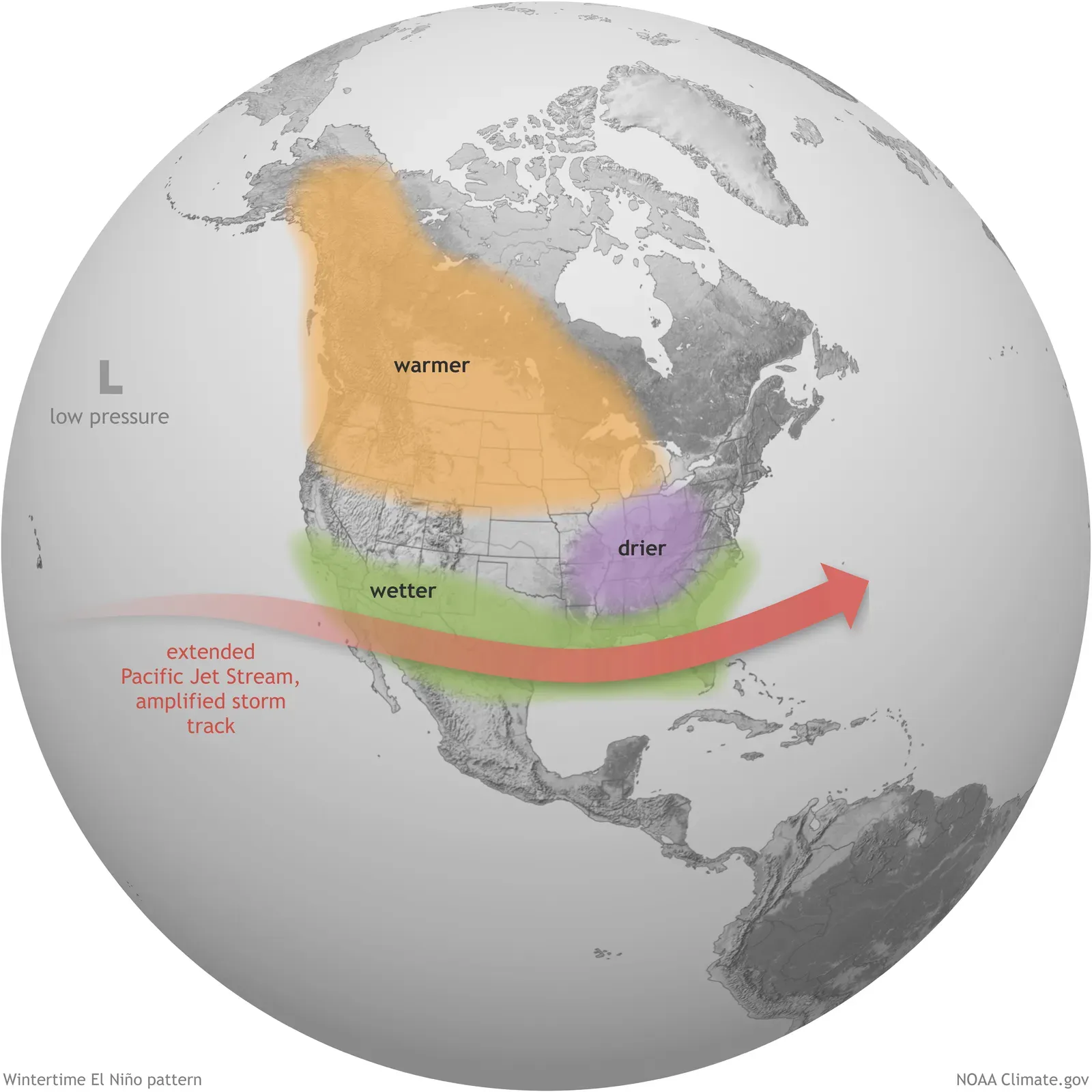
An ongoing El Niño pattern tends to suppress Atlantic activity through increased shear and drier air across the main development region. This large-scale influence has kept overall numbers lower than average so far this season.
Meanwhile the Madden-Julian Oscillation may offer a slight uptick in favorability later in the period as it moves across the Indian Ocean and Africa. Model signals remain weak and inconsistent for any specific system.
Possible Development Areas

Some guidance has hinted at low pressure evolving near Florida and the Bahamas in the days ahead. Strong shear nearby would likely keep any feature from becoming fully tropical in the short term.
Subtropical development farther north in the western Atlantic carries slightly higher but still limited odds toward the end of the month. Ensemble forecasts show scattered signals without strong agreement on timing or intensity.
Coastal Impacts to Watch

Even without a named storm, rough surf and above-normal tides can affect beaches from Florida northward along the Atlantic coast. Beach erosion and minor coastal flooding remain possible with persistent onshore flow.
Heavy rainfall episodes tied to non-tropical features may also bring localized flooding concerns in parts of the northern Caribbean and Bahamas through midweek. Residents should follow local forecasts for any changes.
2026 Season Snapshot
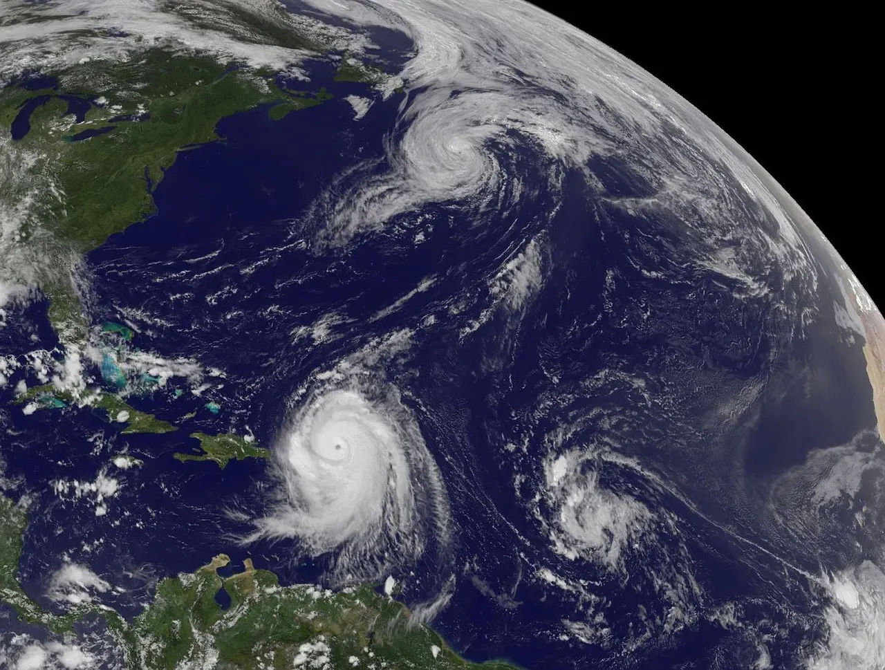
The Atlantic has produced ten named storms through late October with one reaching hurricane strength. Accumulated cyclone energy sits well below normal levels for this point in the year.
Isaias became the season’s lone hurricane in early October after an unusually long wait for the first such system. Josephine followed later in the month before weakening.
Looking Ahead to November

November typically brings one or two additional named storms on average though many remain short-lived. Forecasters will continue issuing outlooks through the official end of the season on November 30.
Communities along the coast benefit from reviewing hurricane plans now while conditions stay calm. Staying tuned to official sources ensures timely information if any late development occurs.
Conclusion

Forecasters remain alert for any signs of tropical development even as the calendar turns toward Halloween and the quiet spell persists. Reliable monitoring and public awareness help reduce risks when the unexpected arrives.
Preparation today means fewer surprises tomorrow, no matter what the Atlantic ultimately delivers before winter sets in.

- The Shoreline Sucked Dry in Seconds – 5 Tsunami Signals Beachgoers Mistake for Low Tide - November 14, 2026
- 9 Dark-Sky Destinations Around the World Where the Stars Look Unreal - November 14, 2026
- The Fault Line That Never Slips – 7 Locked Seismic Zones Overdue for a Massive Release - November 14, 2026
