


- Atlantic Hurricane Activity Has Often Rebounded After Strong El Niño Years, Records Show - November 15, 2026
- The Planet Where It Rains Liquid Glass – 7 Alien Worlds Defying Known Physics - November 14, 2026
- Stars Consuming Entire Worlds – 6 Planetary Systems Swallowing Their Own Worlds - November 14, 2026
A slow-moving storm has spent days soaking the Southwest and Rockies. It’s now heading north for a colder finish. The system, which has produced drenching rain, flash flooding and severe weather in the Rockies, will end over the northern Plains with the first snowfall of the season for some areas.
The details below come from AccuWeather, the National Weather Service and news reports published around October 24 to 26, 2026. Forecasts can shift, so check local National Weather Service updates for the latest.
A Slow Mover With a Long Reach
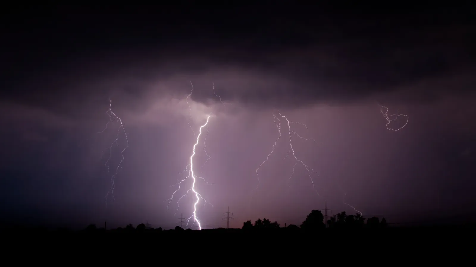
The same slow-moving storm brought rain to Southern California and severe weather and flash flooding to the deserts and Rockies during the past week. Its slow pace is why so many regions have felt its effects in turn.
That also explains why the Dakotas are only getting their turn now. The storm isn’t finished with one region before it reaches another. The snow is the last chapter of a system that began far to the southwest.
Heavy Rain Over the Weekend

The rain didn’t ease up before the storm turned cold. Some areas were forecast to get a fresh 1 to 4 inches from Saturday to Sunday evening, with an AccuWeather Local StormMax of 10 inches.
AccuWeather meteorologist Brandon Buckingham said the storm still had plenty of potency, with more heavy rain that could aggravate or cause new flooding in parts of Colorado and New Mexico, and in the adjacent central and southern Plains.
Flash Flood Danger in Rugged Terrain

Terrain shapes the risk. The greatest danger is in hilly terrain and desert locations, where a flood can develop within minutes, and mudslides are also a concern on steep ground.
Recent wildfire burn scars may be especially vulnerable. Burned slopes absorb less water, so even moderate downpours can run off quickly.
Damage in the Four Corners
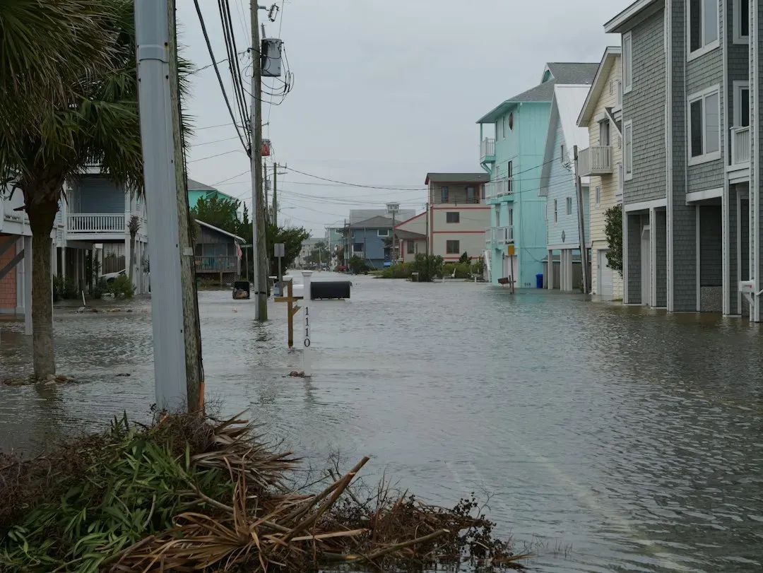
The flooding had real consequences. The storm system caused days of destructive weather across New Mexico, Colorado and Utah. Major to record flooding was reported along parts of the San Juan River in northern New Mexico.
By Monday morning, floodwaters were receding across northwestern New Mexico. Evacuated neighborhoods remained closed, hundreds of homes had no electricity, and families were waiting to learn when they could return.
Severe Weather Lingers Into Monday
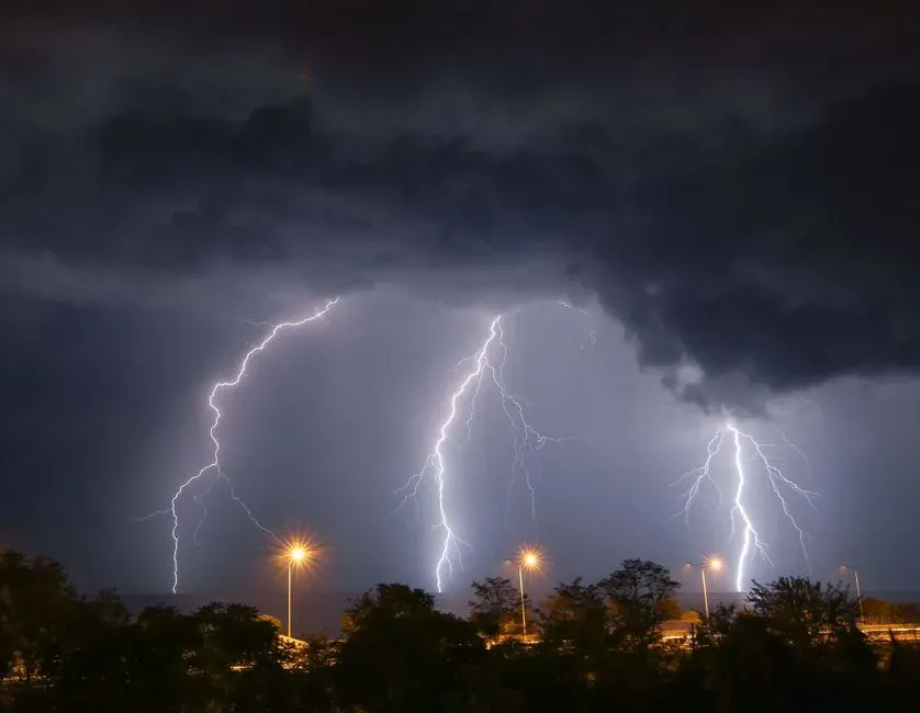
Thunderstorms have been part of the story all week. The storm has produced severe weather since early in the week, and most reports have been hail and damaging wind gusts.
That remains the main threat Monday, though a couple of brief tornadoes are possible from the strongest storms. The risk is focused on parts of New Mexico and expands into West Texas.
Where the First Snow Is Expected
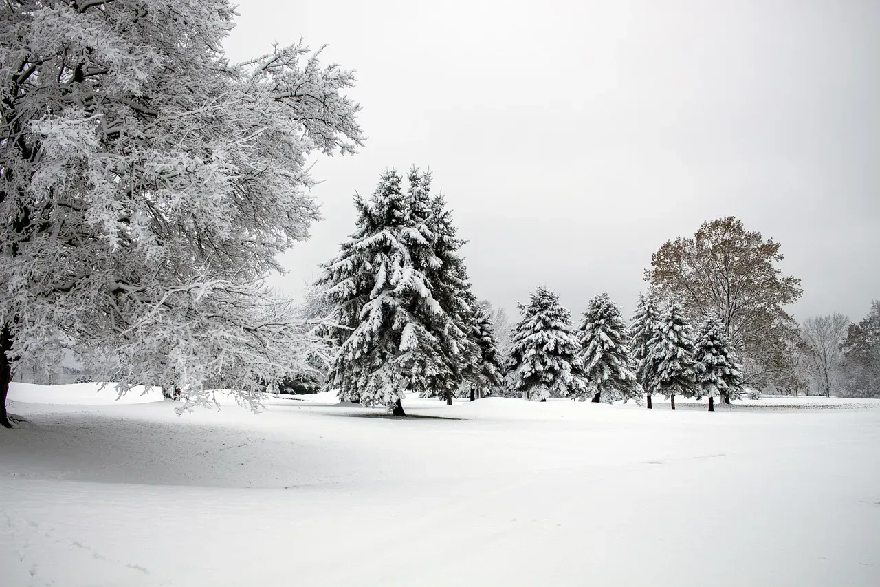
As colder air moves in from the Rockies to the Dakotas, eastern Montana and western Minnesota into Monday night, an area of slushy snow will expand eastward outside the highest elevations. The National Weather Service said the first snow is likely in the Dakotas, eastern Wyoming and western Nebraska.
The Black Hills are the likeliest spot for real accumulation. AccuWeather senior meteorologist Bob Smerbeck said there is potential for several inches of snow over the Black Hills of South Dakota. Accumulation is also possible from eastern Wyoming and northwestern Nebraska into southwestern North Dakota.
What Rapid City to Fargo Can Expect
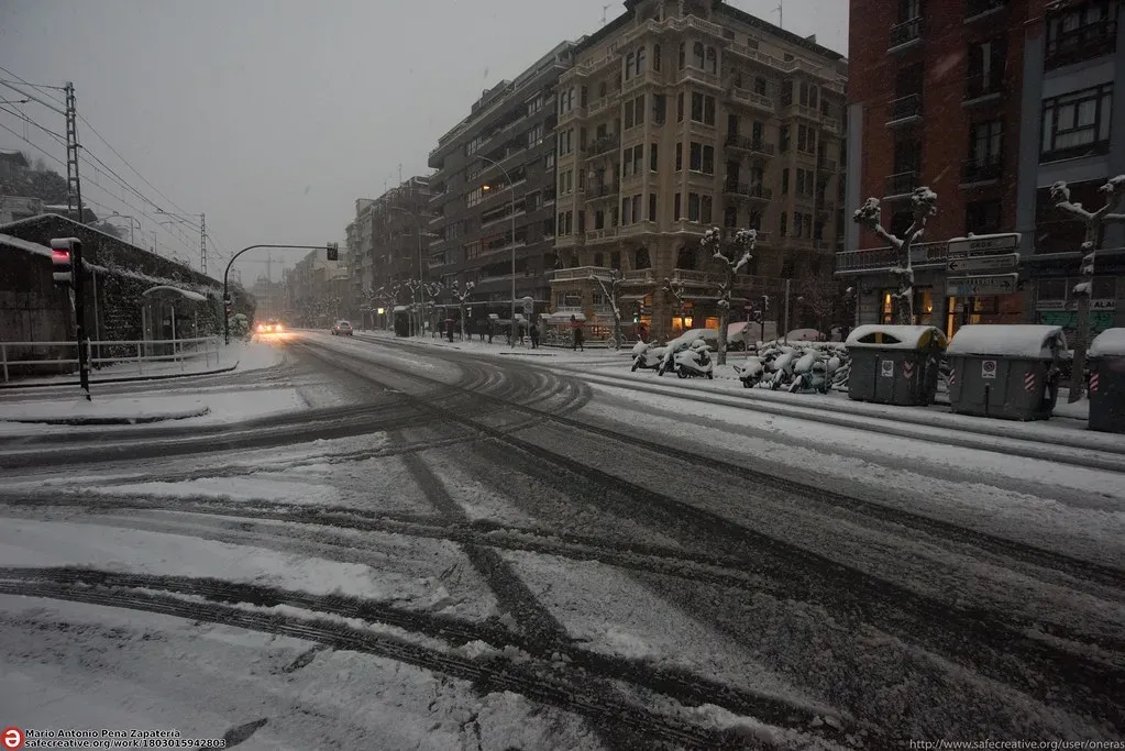
Lower elevations will see much less. Areas from just east of Rapid City to just west of Fargo can pick up a slushy coating to an inch or two, mainly on non-paved surfaces, into Monday night.
Roads should mostly be fine, though not necessarily everywhere. The weather service noted an off chance that a few elevated surfaces could get icy in rural areas. Drivers in the Black Hills should be the most careful.
Who Misses the Worst, and What Comes After
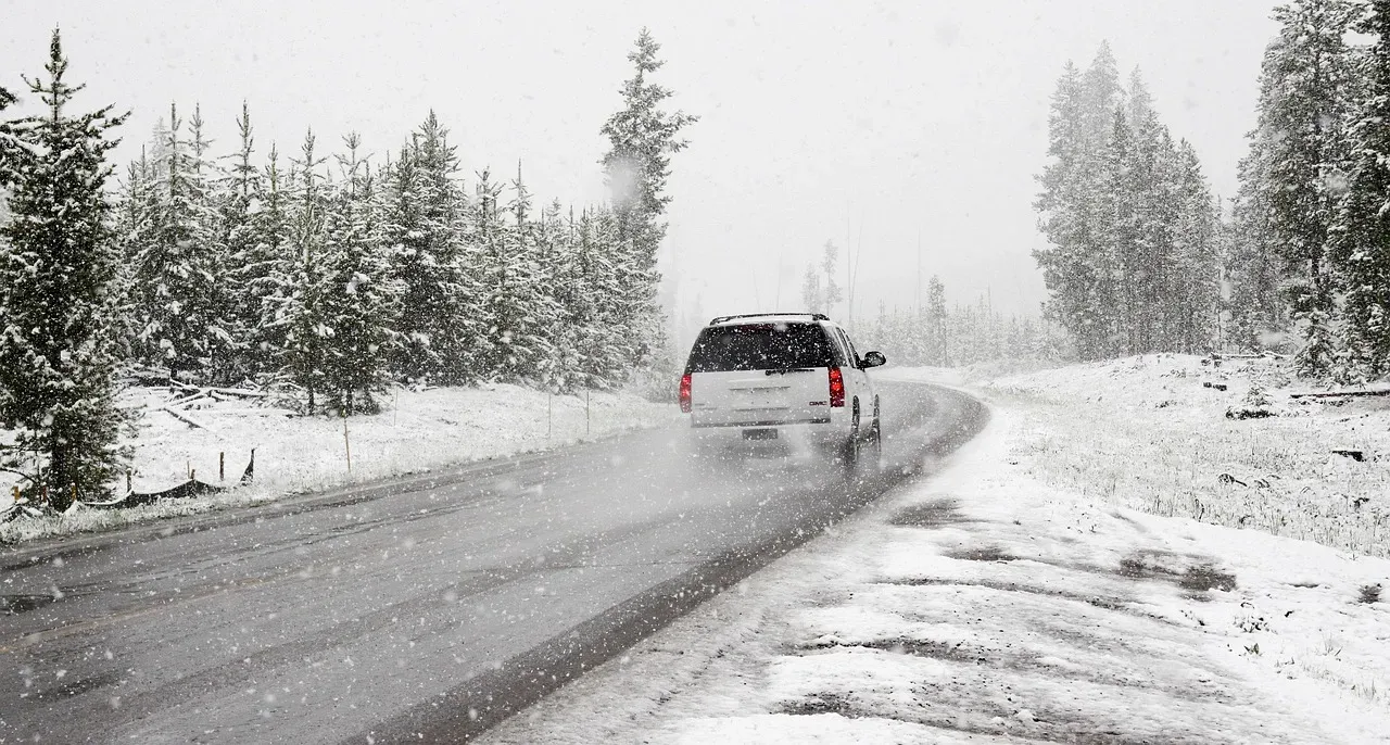
Not everyone in Colorado is affected equally. The bulk of the rain and all of the snow should avoid the Denver metro area and most of the Colorado River basin, though some runoff is entering the river and should boost levels somewhat over the next couple of weeks.
Meanwhile, the storm is expected to wind down over the Plains early in the week. It will finish on a cold and snowy note. The recovery in the Southwest will take longer than the storm itself.
