

- Real Estate Analysts Just Changed Their Mind About the Safest Places to Buy – Here’s Why - November 12, 2026
- Black Holes Firing Beams at Near-Light Speed – 5 Cosmic Engines Warping Spacetime - November 12, 2026
- Silent Rogue Worlds Drifting in Total Dark – 6 Planets Ejected From Their Star Systems - November 12, 2026
Every autumn, people look at NOAA’s winter outlook and ask the same thing: how much snow are we getting? The agency’s answer is consistent. The outlook does not project seasonal snowfall accumulations, because snow forecasts are generally not predictable more than a week in advance.
That can feel like a dodge, especially in a year with a major climate signal in the news. It isn’t one. The reasons come down to what seasonal outlooks measure, how snow forms, and how much honest skill exists at long range.
What NOAA’s Seasonal Outlook Actually Predicts
The Climate Prediction Center’s product is about odds. NOAA’s seasonal outlooks give the likelihood that temperatures and total precipitation will be above, near or below average, and how drought is expected to change. Snow depth and inches aren’t part of that.
The 2026 to 2027 outlook shows the pattern. It covers December 2026 to February 2027, favoring a warmer northern U.S. and a wetter southern U.S. from California to Florida and along the Eastern Seaboard. Those are broad regional tilts, not storm counts.
Snow Is Not the Same as Precipitation
A wetter-than-average forecast doesn’t automatically mean a snowier one. Above-average precipitation includes rain, snow, ice and other forms, and warmer-than-average temperatures refer to the average over the entire three months. Whether precipitation falls as snow depends on temperature in a thin layer of air during each storm.
Houston is a clear example. Local reporting on the outlook noted that more rain doesn’t automatically mean more snow or ice in Houston. Turning a seasonal precipitation signal into a snowfall number would require guessing at storm-by-storm temperatures.
The One-Week Limit on Snow Forecasting
NOAA’s own wording sets the boundary. Snow is generally not predictable more than about a week ahead. Even a single storm’s track can shift a rain-snow line by tens of miles, which changes totals dramatically.
Seasonal totals are the sum of many such storms. Seasonal outlooks aren’t precise enough to predict individual winter storms, and NOAA notes that snowfall totals generally can’t be forecast more than about a week out. Errors in each storm would pile up across a whole winter.
Three-Month Averages Smooth Away the Details
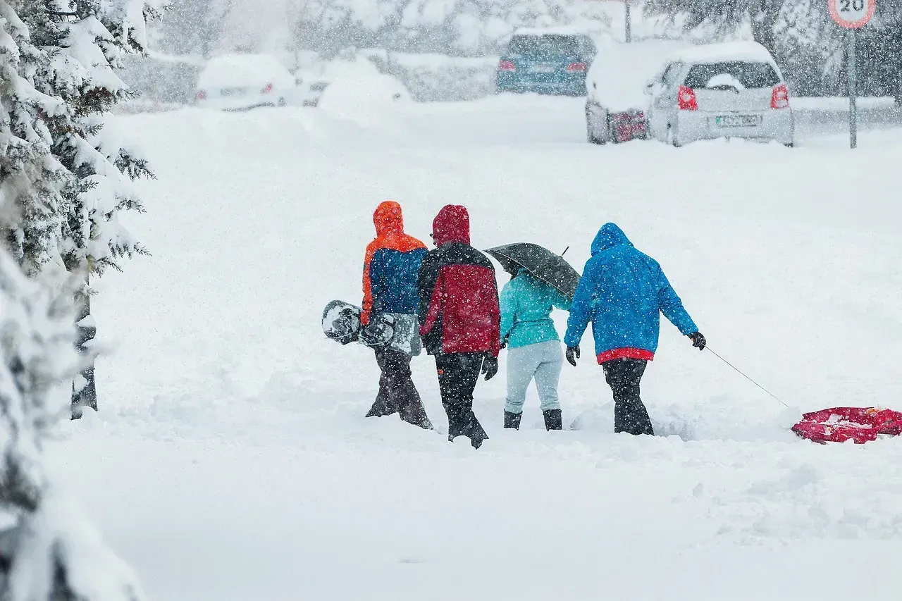
Seasonal outlooks cover a three-month window. A warm December, a frigid January and a mild February can average out to “near normal,” yet the snow experience would be very different from a steady season.
The outlook itself is also refreshed on a schedule. NOAA says its three-month outlook is updated monthly. That cadence suits shifting probabilities, not a snowfall ledger that depends on a handful of big storms.
El Niño Tilts the Odds, It Doesn’t Set the Score

This winter’s big driver is El Niño. NOAA’s Climate Prediction Center issued an El Niño Advisory on October 8, 2026, and a strong to very strong event is likely through January to March 2027. That shapes the jet stream and the odds of wetter or warmer conditions in certain regions.
Still, even a powerful signal has limits. The Climate Prediction Center says that with an event this strong, El Niño impacts are more likely but not guaranteed. A tilt in the odds is useful, but it isn’t a snowfall prediction.
Where NOAA Does Offer Snow Context
NOAA officials do talk about historical tendencies. Gottschalck said NOAA does not officially make seasonal snowfall forecasts, but snowfall in strong El Niño winters is typically below normal for western parts of the Northeast. For the Mid-Atlantic, seasonal snowfall departures in strong El Niño winters are typically above normal.
Note the careful phrasing: “typically,” based on past events, and not an official forecast. These are historical patterns, and any single winter can break them. That’s the difference between climatology and a forecast.
Why Skiers and Planners Should Read the Maps Carefully
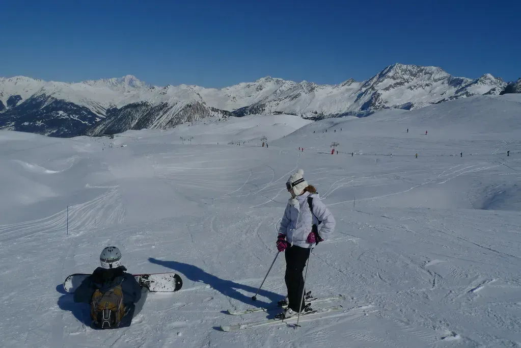
Ski communities scrutinize these outlooks closely. One ski-focused write-up reminded readers that NOAA’s outlook isn’t a snowfall forecast and estimates the likelihood of temperature and total precipitation finishing above or below historical averages. A wetter signal for the Southwest, for instance, doesn’t guarantee deep powder.
Temperature matters just as much. For the northern Rockies, NOAA’s outlook favors warmer-than-average conditions, which can mean more rain at lower elevations even if precipitation looks fine. Reading both maps together gives a better picture than hunting for a single snow number.
Better Ways to Use Long-Range Outlooks
Treat the outlooks as a planning aid. They can inform decisions about heating, water supply, drought and general preparedness. As one summary put it, treat the maps as shifted odds, not promises.
For actual snow, check shorter-range forecasts from your local National Weather Service office as a storm approaches. That’s the window where forecasts of snow have real skill.
Conclusion
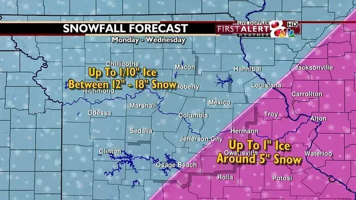
NOAA skips seasonal snowfall totals because the science doesn’t support them. Snow depends on storm tracks and thin temperature margins that can’t be resolved months ahead, so the agency sticks to temperature and precipitation odds.
A forecast that admits its limits is more trustworthy than one that invents precision. Use the seasonal outlook for the big picture, and wait for the week-ahead forecast before planning around the snow.
