

- Phantom Energy Sucking Power 24/7 – 7 Home Electronics Quietly Inflating Utility Bills - November 14, 2026
- A Million-Mile Storm Raging for Centuries – 6 Violent Weather Wonders in Our System - November 14, 2026
- Animals Flee Hours Before the Tremor – 7 Natural Warnings Before Disasters Strike - November 14, 2026
Forecasters are watching an unusual event high above the Arctic this month. Computer models show the polar vortex weakening and possibly splitting in early November. That would be earlier than anything in the modern record. Even so, no frigid air outbreaks are expected to reach the United States in November.
The headline event is real, but its effect at the surface is a separate question. Several forecasters expect the US to stay on the mild side for most of the month. This article covers what is happening, why it may not mean a deep freeze, and what remains uncertain.
What the Polar Vortex Is Doing Right Now

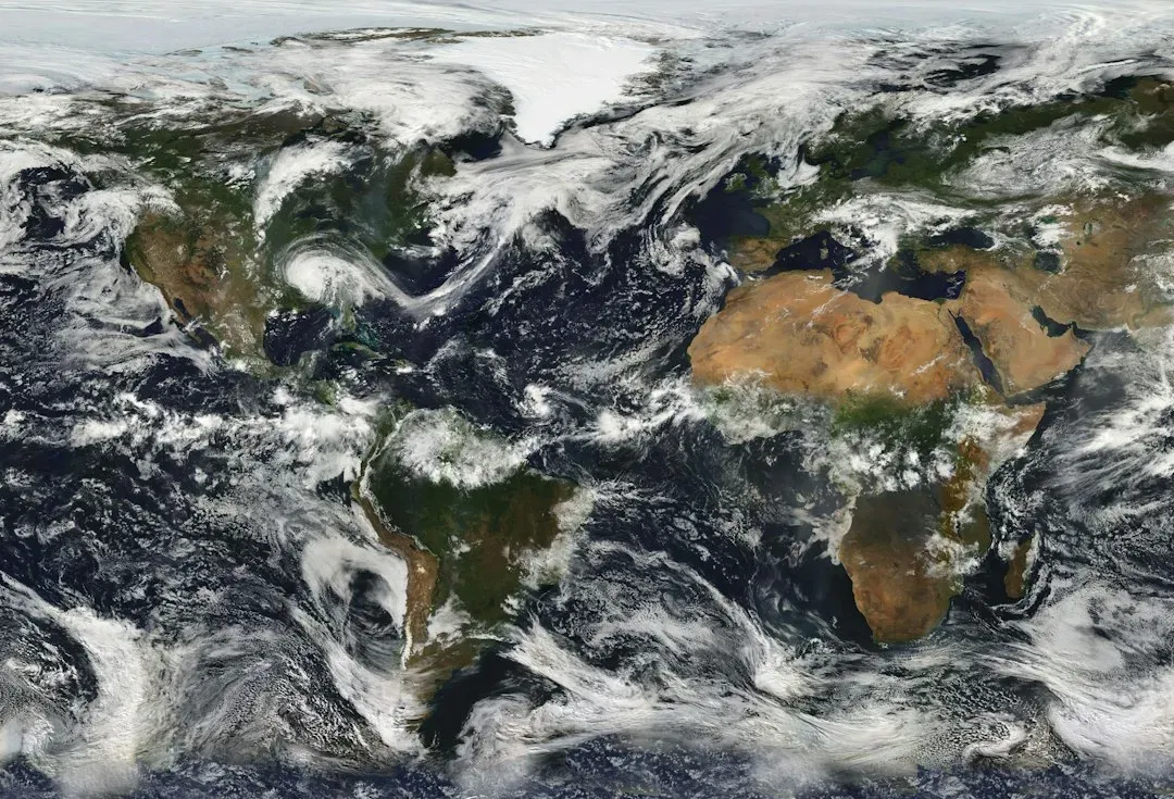
Meteorologists are watching for an exceptionally early disruption, a sudden stratospheric warming, during the first week of November. The same report says it would be the earliest breakdown and displacement of the polar vortex since records began in the 1950s. That’s rare because the vortex is normally stable and strengthening in November.
Models show the winds circling high above the North Pole slowing and reversing around Nov. 4, which could split the vortex in two. The European ensemble gives that reversal a 96% chance. Not every model is as aggressive, as the next section explains.
Where the Forecast Models Disagree
Agreement on a weaker vortex doesn’t mean agreement on the details. Some single model runs are more conservative about a reversal, and the extended American ensemble reportedly doesn’t see anything special. That gap matters, because a full reversal and a strong weakening can lead to different outcomes.
Probabilities from individual experts also vary. MIT’s Judah Cohen reportedly put the disruption probability at 25%. The spread suggests readers should treat any single forecast as provisional until the event plays out.
Why a Disrupted Vortex Doesn’t Guarantee Arctic Air
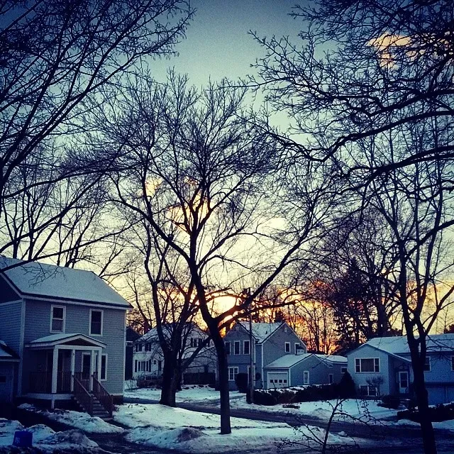
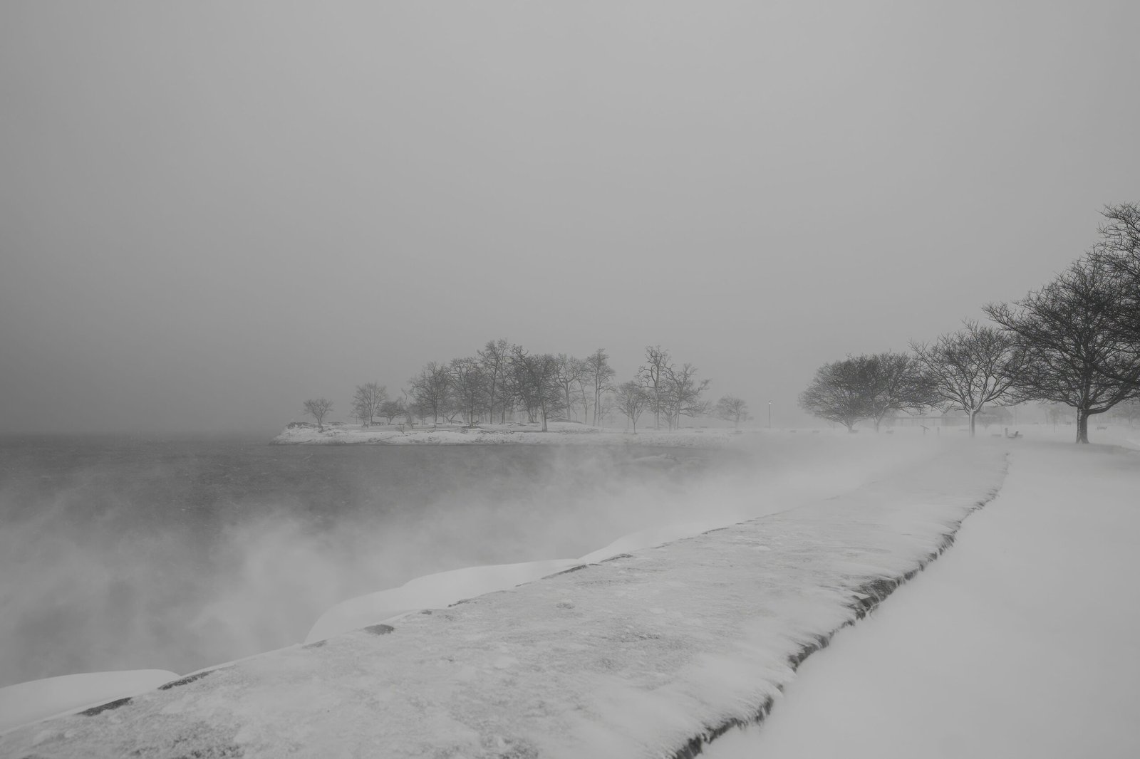
A strong polar vortex tends to keep frigid air locked near the Arctic Circle, and when it weakens, cold air can move southward. That’s the usual logic behind alarming headlines. This time there’s a catch.
AccuWeather points out that the air in northern Canada isn’t very cold to begin with. Early in the season, the Arctic hasn’t built up its deep winter cold yet. A weakened vortex can only release cold air that exists.
Where the Cold Is Expected to Go Instead

Fox Weather notes that models currently send the coldest air across Siberia, northern Eurasia and parts of Eastern Europe, while much of North America stays on the milder side. The vortex may be moving, but the chill is landing elsewhere. Where the cold settles depends on how the disruption plays out.
Severe Weather Europe’s analysis points to a different geometry. It describes two cold cores, one over Siberia and one over North America, with high pressure over the Aleutians. That setup could matter later, though the surface impacts are far from settled.
What NOAA’s November Outlook Says
The Climate Prediction Center’s outlook leans warm. Its update expanded above-normal temperature odds across more of the Lower 48, reaching further south into the Southeast, with 50 to 60% probabilities across the northern tier. The outlook doesn’t attribute this to the vortex disruption.
Earlier short-range guidance was similar. An outlook issued Oct. 22 favored below-normal temperatures only in Washington, Oregon and Montana through Nov. 1, and nowhere in the Lower 48 for Oct. 30 through Nov. 5. Brief cold shots are still possible within a warm month.
A Regional Look: East and New England
In the East, the timing question is more interesting. The Philadelphia Inquirer reported that any effects could show up in the second or third week of November, possibly before Thanksgiving. Yet the official forecast doesn’t show any cold yet.
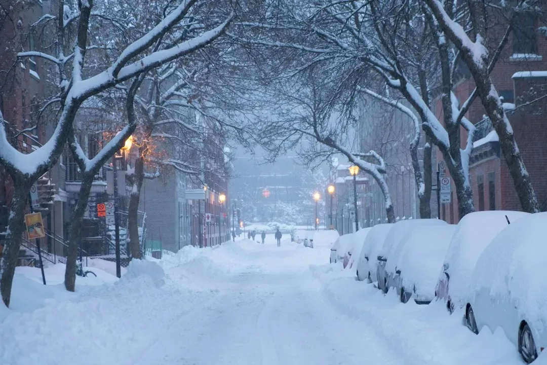
For New England, one Boston Globe forecaster wrote that the puzzle pieces point to missing out on any epic temperature plunges with this event. The medium-range outlook suggests warmer-than-average conditions through the middle weeks of November. That’s one meteorologist’s judgment, not a guarantee.
Late November and Early December: The Lag Effect

Stratospheric changes don’t hit the surface right away. Fox Weather says it could take several weeks for the effects to influence the jet stream and create larger patterns. Winter-like temperatures will likely materialize by late November and early December, according to the FOX Forecast Center.
AccuWeather also says the pattern may cool a bit more during the second half of November. It also expects some of the biggest early-month dips to skip the northern states and develop over the Southwest because of a large jet stream storm. Cooler is not the same as severe.
The Bigger Picture: Uncertainty and the Winter Ahead
This event is rare enough that confidence is limited. NWS meteorologist Laura Ciasto said there have been so few of these events in November that there’s some uncertainty about the surface impacts. Some outlets also mention a developing strong El Niño, which adds uncertainty to the winter outlook.
Severe Weather Europe also reports that models suggest a stronger vortex disruption in mid-winter 2026/2027. That’s a long-range signal, so treat it cautiously.
Conclusion
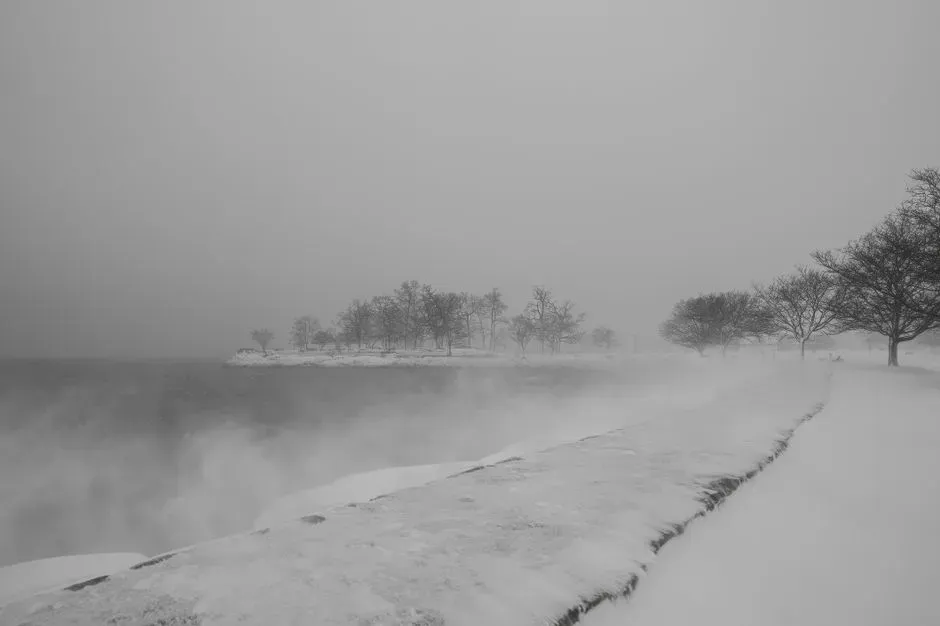
The polar vortex is doing something historic, but November’s US forecast stays mild for most places. Cold air is heading toward Eurasia, northern Canada hasn’t chilled much yet, and NOAA favors above-normal temperatures. The lagged effects in late November and December are worth watching, but they aren’t a forecast for severe cold.
A strange sky event doesn’t always mean a strange week at ground level. Check local forecasts as the month goes on.
