

A powerful El Niño is building in the Pacific, and skiers are paying attention. NOAA’s Climate Prediction Center issued its latest update on October 8, 2026, with an El Niño Advisory in place and a strong-to-very strong event likely through January to March 2027. After a disappointing 2025-26 season in many western regions, the hope for a rebound is understandable.
Still, an El Niño isn’t a snow guarantee. It shifts the odds, and those shifts differ a lot from one mountain range to the next. Here’s a region-by-region look at where the signal looks most promising, and where it doesn’t.
How Strong This El Niño Could Be
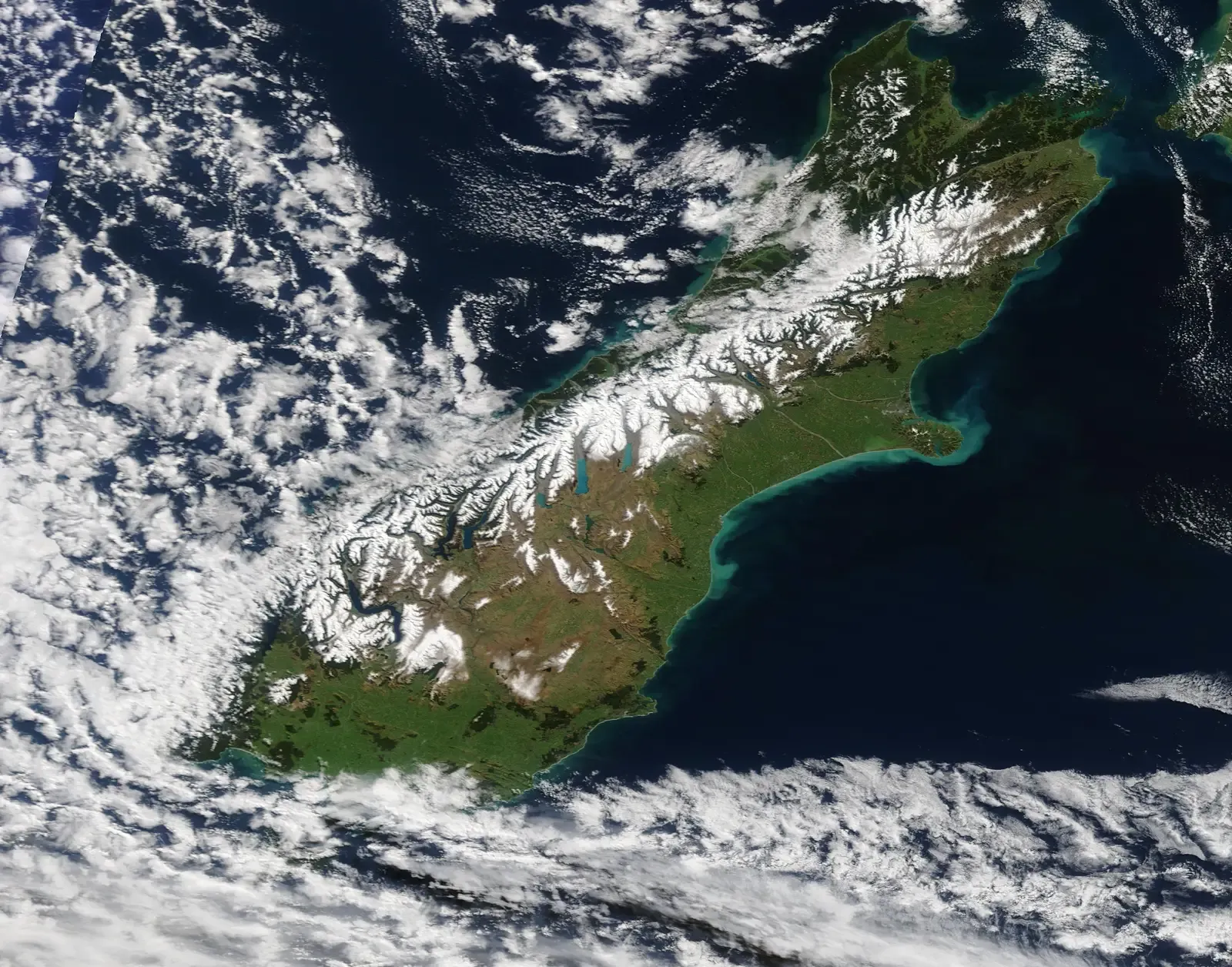
NOAA gave an 83% chance that the event would reach a historic strength threshold during October to December, based on a three-month relative Niño-3.4 index of at least +2.5C. That would surpass every event in NOAA’s record dating back to 1950. That’s why you keep hearing the phrase “super El Niño.”
Forecasters also expect it to last. NOAA puts the chance it persists through early spring 2027 at 97 percent, so it should touch the whole ski season, from the first storms to spring corn.
Why Strength Doesn’t Equal Certainty
It’s tempting to think a bigger El Niño makes snow easier to predict. SKI magazine notes that the opposite is true. NOAA itself says even the strongest events don’t guarantee the same weather everywhere, though they can tilt the odds toward typical patterns.
There’s another caveat. NOAA doesn’t project seasonal snowfall totals, because snow generally isn’t predictable more than a week in advance. Treat any resort-level forecast as a lean, not a promise.
The Southwest: Strong Early Favorite
The southern tier is where the typical El Niño storm track tends to point. SKI says that puts places like Taos, Ski Santa Fe and Arizona Snowbowl in a good position heading into the season. Taos in particular is described as due for a banger season after a couple of lackluster winters.
OpenSnow’s forecast favors above-normal snowfall across much of the Southwest, including California, Utah, Arizona, New Mexico and parts of Colorado. That’s a private forecaster’s view rather than an official NOAA snowfall number, so keep expectations measured.
California and the High Sierra
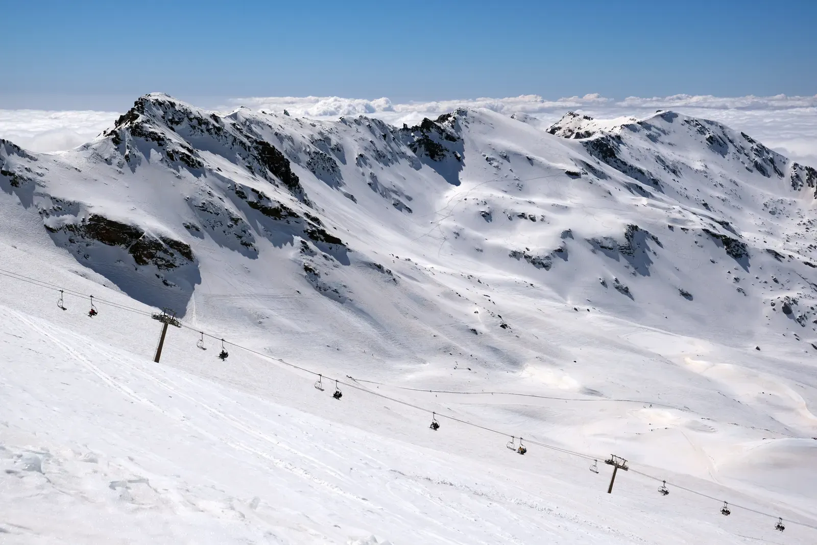
SnowBrains’ regional breakdown is blunt, saying a strong El Niño favors the high Sierra and southern Rockies, while the northern interior looks warm and dry. The Sierra often benefits when Pacific storms are pushed south and fed with moisture.
The catch is temperature. Heavy precipitation is great, but warm storms can bring rain to lower elevations. Higher-elevation terrain around Tahoe and Mammoth is generally better placed than base areas near the rain-snow line.
Utah, the Great Basin and the Central Rockies
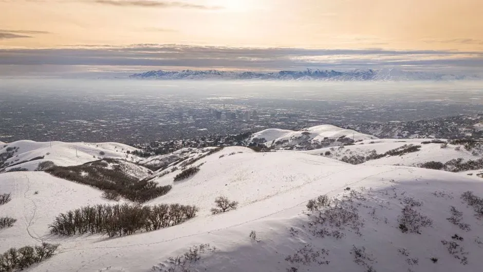
AccuWeather says parts of the Sierra Nevada, Great Basin, Wasatch Range and Central Rockies could see above-average snowfall, with parts of the Southern Rockies also expected to beat last winter. That’s encouraging for Utah’s Cottonwood canyons and much of central Colorado.
Colorado looks mixed, though, depending on the source. One outlet noted that NOAA data shows shifting patterns that could favor Colorado. The southern and central parts of the state seem better positioned than the far north.
The Pacific Northwest and Northern Rockies
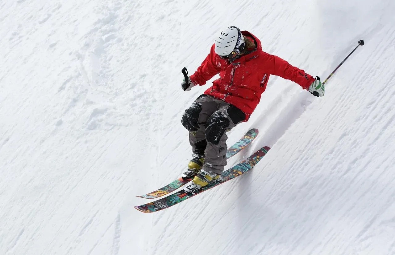
This is where the news is least friendly. The Pacific Northwest and northern Rockies carry the clearest warm signal in NOAA’s outlook, with above-normal temperatures and below-normal precipitation favored through the winter. El Niño tends to push the jet stream south of these areas.
Oregon may be a partial exception. SnowBrains says NOAA extends its later-winter wet signal into central Oregon, potentially farther north, and Mount Hood can benefit when Pacific storms reach far enough north. Washington looks like the weaker bet.
Alaska and the Freezing Level Question
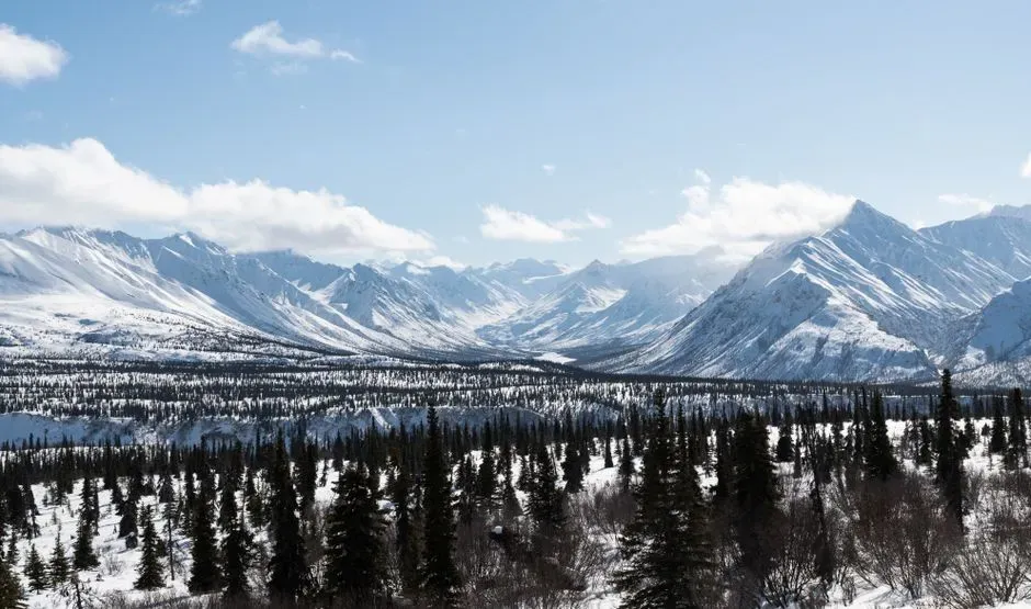
Alaska shows why moisture alone isn’t enough. Southeast Alaska has a wetter lean in NOAA’s guidance, but also pronounced warmth, so Eaglecrest needs the freezing level to cooperate.
The same idea applies across the West. The distinction is between moisture reaching the mountains and usable snow reaching the bottom of the lifts. Elevation and storm temperature will matter as much as storm count.
The Northern Tier and the East
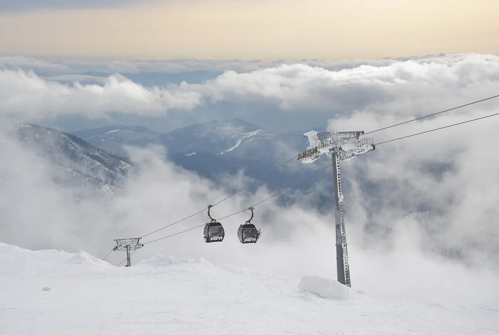
NOAA’s December to February outlook favors warmer-than-average temperatures across the northern US. A westerly Quasi-Biennial Oscillation, combined with El Niño, typically strengthens the stratospheric polar vortex, which can mean fewer Arctic blasts for northern areas.
For the Mid-Atlantic, a very strong El Niño may bring a wetter, slightly milder winter, but cold snaps and snow remain possible when storms meet cold air. Eastern skiers should plan around timing and snowmaking rather than expecting a standout year.
Conclusion: Plan Smart, Stay Flexible
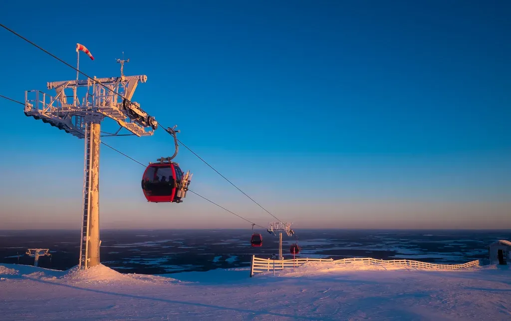
The best odds this winter point to the Southwest, the high Sierra, and parts of Utah and the central and southern Rockies. The Pacific Northwest and northern Rockies look like the toughest calls. Those are tilts in probability, not certainties.
If you’re booking trips, favor flexibility, higher-elevation terrain and resorts with good snowmaking, then watch short-range forecasts. This season’s signal is loud, but the mountains still decide each storm one at a time.

- The Shoreline Sucked Dry in Seconds – 5 Tsunami Signals Beachgoers Mistake for Low Tide - November 14, 2026
- 9 Dark-Sky Destinations Around the World Where the Stars Look Unreal - November 14, 2026
- The Fault Line That Never Slips – 7 Locked Seismic Zones Overdue for a Massive Release - November 14, 2026
