

1. The Ogallala Aquifer’s slow collapse
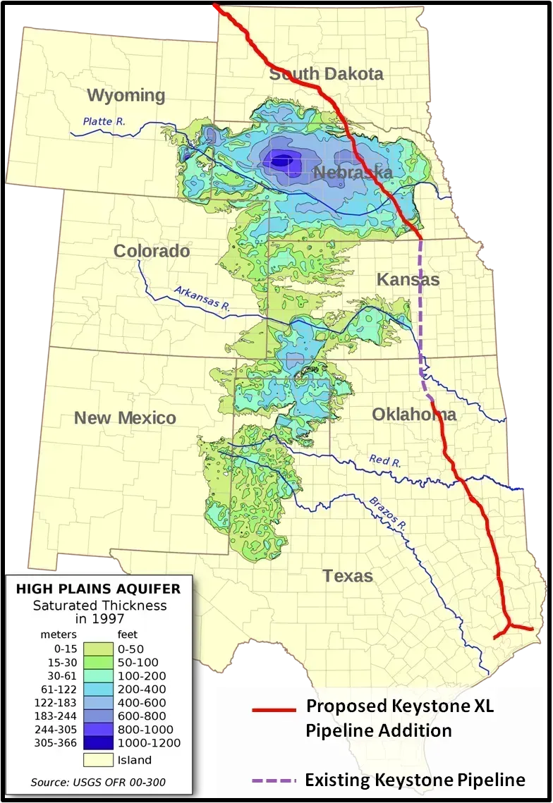
The High Plains sit above one of the largest freshwater aquifers on Earth, and it has been drawn down for irrigation for nearly a century. In Kansas, “Day Zero,” the day wells run dry, has already arrived for about 30% of the aquifer, and within 50 years the entire aquifer is expected to be 70% depleted. A 2019 study cited by multiple agricultural outlets found that the rate of groundwater depletion in the Ogallala could increase by as much as fifty percent by 2050.
The economic fallout is already being modeled. Kansas State University economists calculated that continued depletion could shrink annual returns to cropland by 5.3%, and that 13.5% of currently irrigated acres would change to dryland production as wells lose their capacity. Warmer temperatures are compounding the squeeze, since the number of days exceeding 100°F in the Northern Plains is expected to double by 2050, pushing crop water demand up just as the water supply is shrinking.
2. California’s sinking San Joaquin Valley
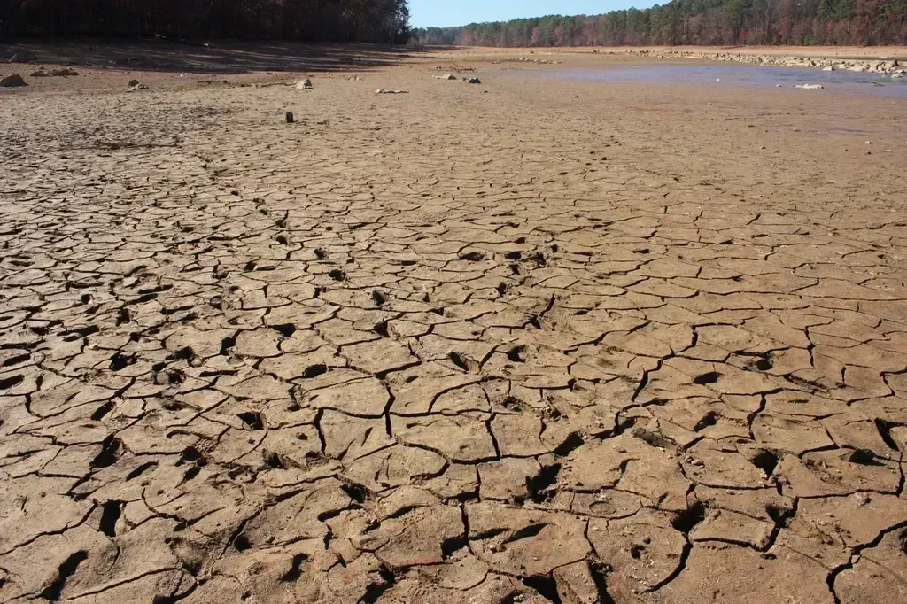
Beneath one of the most productive farming regions on the planet, the ground itself is dropping. The Central Valley has been subsiding at differing rates since the 1920s and is estimated to have sunk up to 28 feet in the worst spots, largely because farmers pump groundwater faster than it can recharge, especially during drought years when surface water deliveries are cut.
The consequences reach beyond the fields themselves. A 2025 technical report found that subsidence has already trimmed State Water Project deliveries by roughly three percent, and by 2043, if no action is taken, the current trajectory of subsidence combined with climate change could reduce deliveries by 87 percent. That system alone supplies water to approximately three million acres of farmland and more than two million Californians, which gives a sense of how much production sits downstream of a single infrastructure problem.
3. Soil erosion outpacing nature’s repair
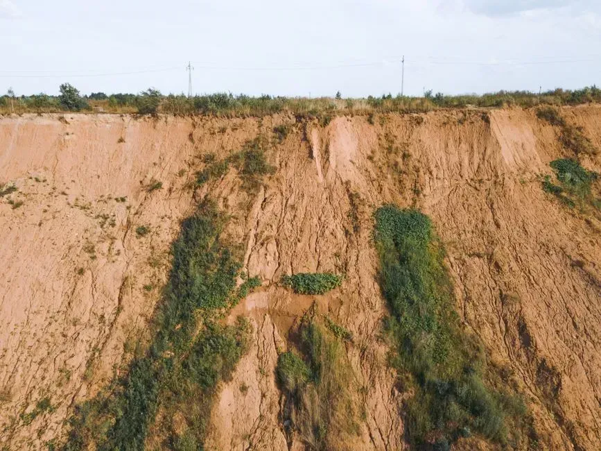
Topsoil forms over centuries, but it can wash or blow away in a single bad storm season. Decades of intensive row cropping, especially on sloped or poorly rotated ground in the Corn Belt, has thinned the fertile layer that crops actually rely on, and replacing it naturally takes far longer than any human planning horizon allows for.
Global assessments echo the concern closer to home. Encyclopedia summaries of UN Food and Agriculture Organization work note that decreasing productivity can already be observed on roughly a fifth of the world’s cropland, and at current rates of soil loss driven largely by poor farming practice, the world may have only a limited number of decades of high-yield harvests left unless erosion control becomes standard practice. American conservation districts have pushed no-till and cover cropping for exactly this reason.
4. PFAS contamination in fertilized fields
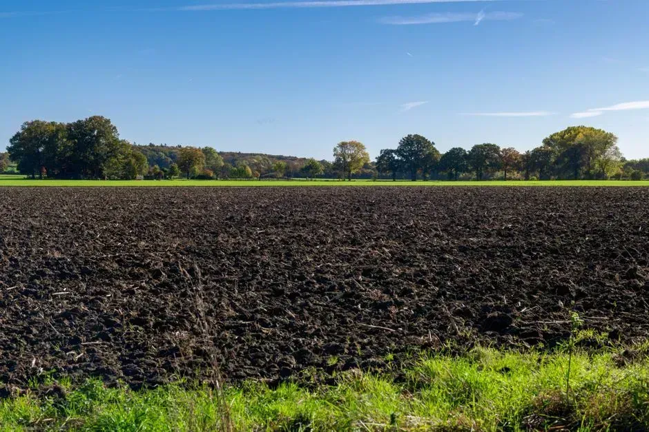
Sewage sludge, marketed to farmers as biosolids, has quietly become one of the more alarming contamination stories in modern agriculture. Sewage sludge is currently applied to less than one percent of fertilized farmland each year, yet the practice is now authorized on almost 70 million acres, and that is roughly one fifth of all agricultural land in the country.
The damage is not hypothetical. In Michigan, a farmer who spread biosolids on his land for years discovered the state had ordered him to shut down after PFAS turned up in his soil and cattle, and his entire 400 acre farm was deemed unusable. A 2025 report from the National Academies, sponsored by USDA, confirmed that nearly 70 million acres of US farmland are potentially impacted by these forever chemicals, with few states currently testing for them.
5. Urban sprawl swallowing the edges of farm country
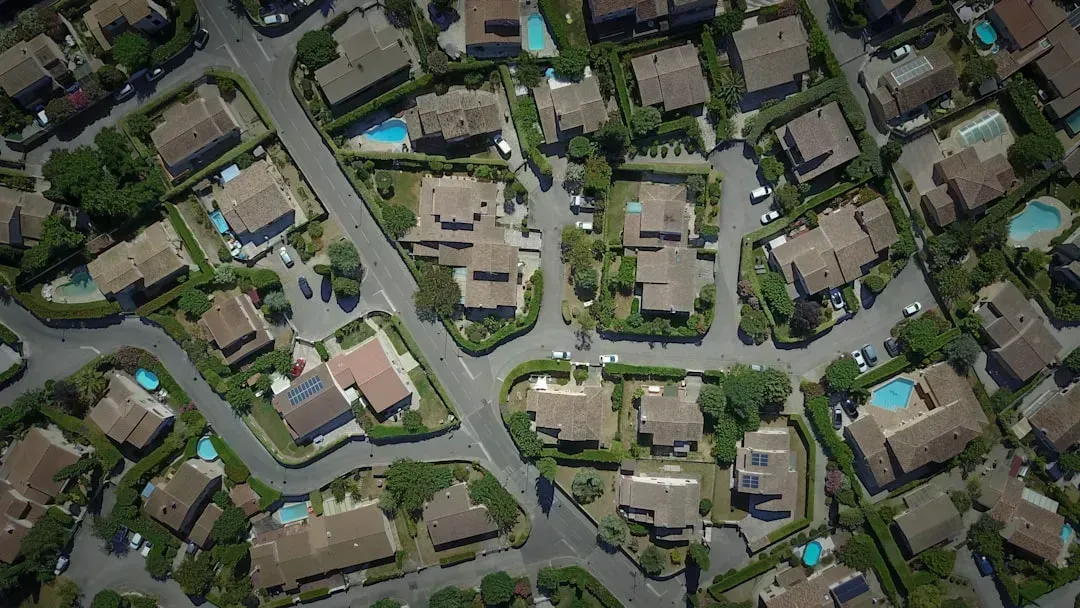
Farmland closest to growing metro areas faces the oldest and most visible threat of all: pavement. The American Farmland Trust’s modeling found that 18.4 million acres of farmland will be lost by 2040 if current development trends continue, and under a worse case scenario, 24.4 million acres, an area roughly the size of Indiana, would be lost by 2040.
The daily pace of loss is easy to underestimate until you see it stacked up. Between 2001 and 2016, America lost or compromised 2,000 acres of farmland every day, according to farmland transition research, with much of it converted to low-density residential sprawl rather than dense urban infill. That kind of conversion is effectively permanent, since paved or subdivided land rarely returns to production.
6. Rising extreme heat stressing crops
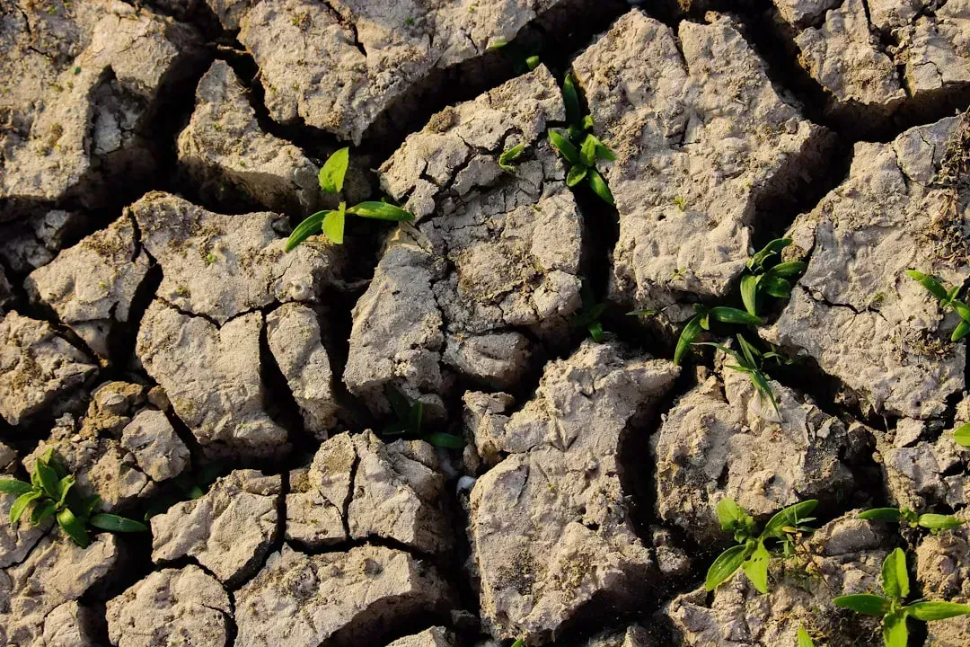
Heat stress does not just make farm work uncomfortable, it directly cuts into yields by shortening pollination windows and accelerating water loss from plants. Corn, soybeans, and wheat all have known temperature thresholds beyond which grain fill suffers, and those thresholds are being crossed more often across the Midwest and Southern Plains.
A University of Maryland led modeling study published in the Proceedings of the National Academy of Sciences offered one of the starkest national projections available. If climate change is not addressed, agricultural production in the United States could fall to pre-1980 levels by the year 2050, based on a model showing that variations in temperature and rainfall accounted for about 70 percent of year to year variance in agricultural productivity from 1981 to 2010. The same researchers projected that productivity could enter a continuous decline starting around the year 2025 if nothing changes.
7. Deepening drought across the Great Plains
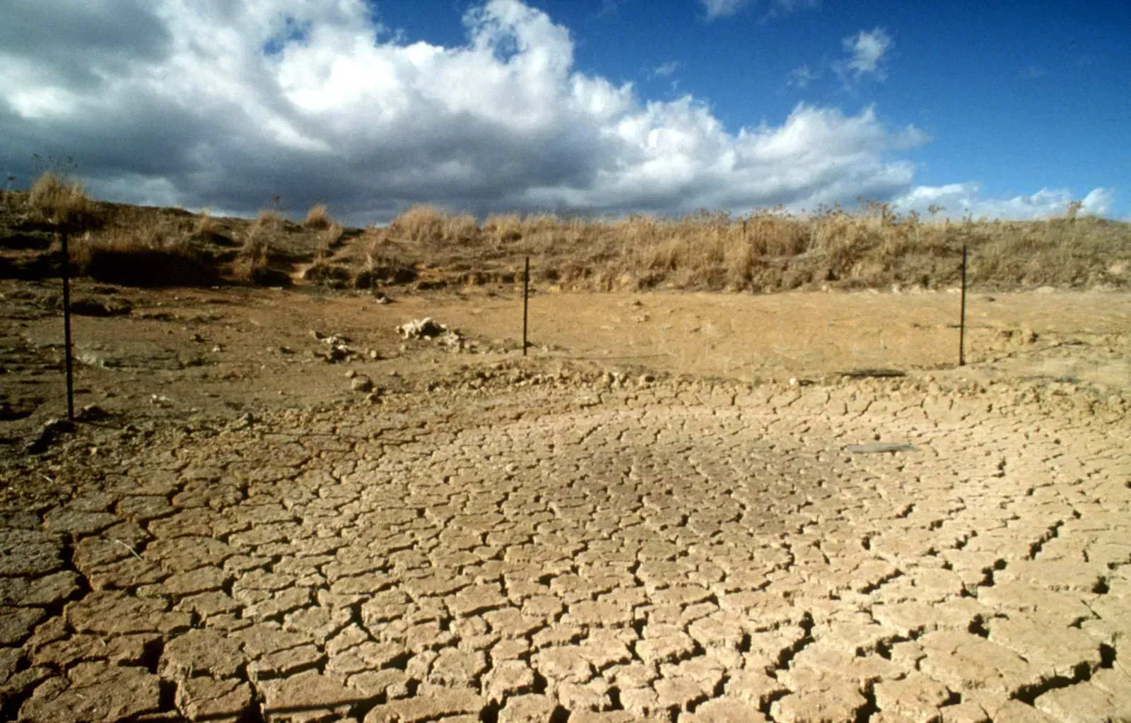
Drought and groundwater depletion feed each other in a loop that is hard to break. When rain fails, farmers lean harder on wells, which accelerates aquifer decline, which then leaves less buffer for the next dry spell. This cycle has already reshaped cropping decisions across Kansas, Nebraska, and the Texas Panhandle, where more acres are shifting from irrigated corn to lower value dryland wheat or grazing.
Climate researchers tracking the region point out that drought is no longer an occasional shock but an emerging baseline condition in parts of the Plains. Federal climate hub reports note that warming trends and increasingly variable precipitation are compounding the strain on both crops and the aquifer that sustains them, a combination that leaves far less margin for error than farmers had a generation ago.
8. Salt buildup in irrigated soils
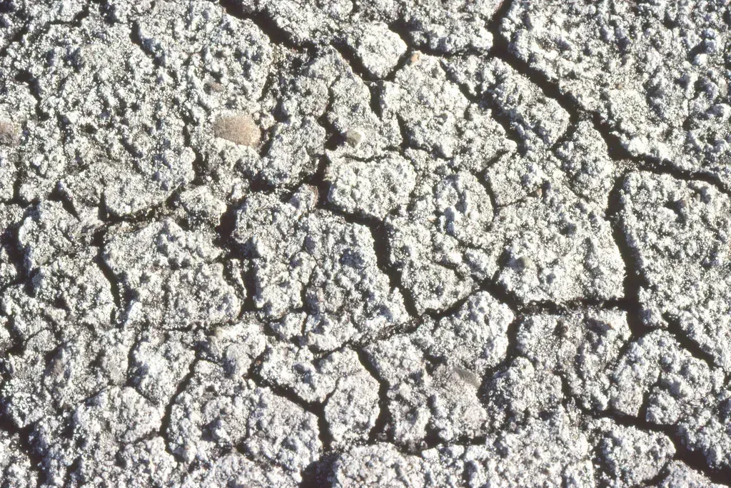
Irrigation water almost always carries trace minerals, and when that water evaporates from the soil surface faster than it drains away, salts accumulate in the root zone. Over decades, this salinization can quietly reduce yields on the same acres year after year, even when water supply itself is not the limiting factor.
Arid and semi arid irrigation districts in California, Arizona, and parts of the High Plains are particularly exposed, since evaporation rates there are high and drainage is often poor. Reversing salinization usually requires flushing fields with extra clean water, which is an expensive and increasingly scarce solution in regions already fighting over every acre foot.
9. Saltwater creeping into coastal farmland
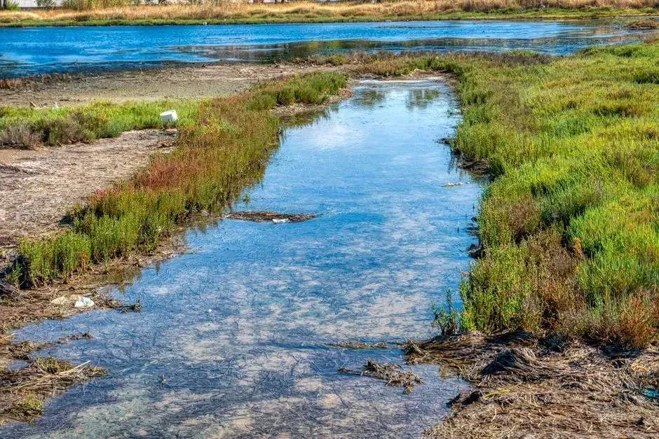
Along the Chesapeake and Delaware Bay watersheds, sea level rise is not a distant projection, it is already claiming working fields. A Nature Sustainability study led by William & Mary’s Batten School found that between 1984 and 2022, approximately 25,000 acres of farmland was lost to sea level rise in the Chesapeake and Delaware Bay watersheds, despite preventative measures taken by local farmers.
What makes the trend unsettling is where it is happening fastest. The same research found that marsh encroachment can be up to seven times more frequent on agricultural land compared to forestland in the mid Atlantic, meaning open, tilled fields are actually more vulnerable to saltwater intrusion than the woods around them. Farmers in Dorchester County, Maryland, have described watching once tillable soil shift toward marshland as saltwater seeps in both from storms above and groundwater below.
10. Wildfire scars on western rangeland
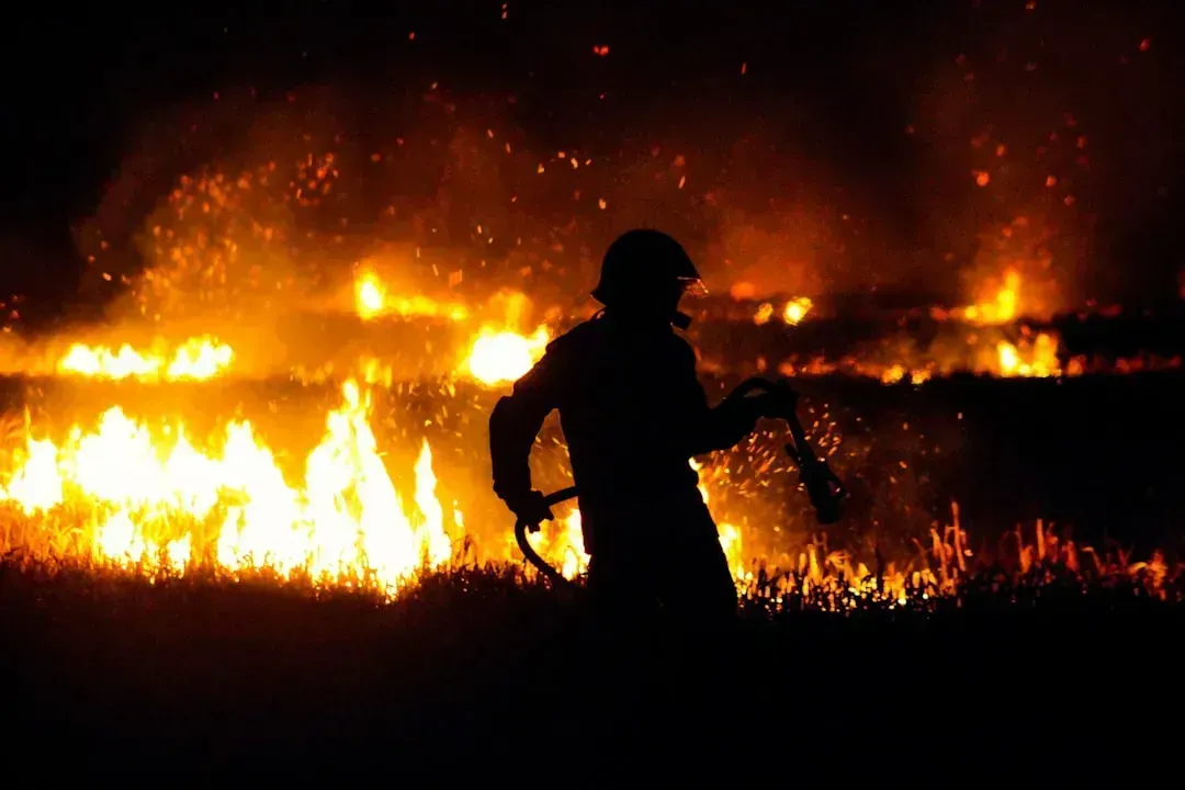
Cropland is not the only farmland at risk. Rangeland used for cattle grazing across the West and Southwest has absorbed some of the country’s most severe wildfire seasons in recent memory, and burned pastureland can take years to recover forage capacity, if it recovers fully at all.
Longer fire seasons, driven by hotter summers and drier vegetation, mean ranchers increasingly have to destock herds or truck in feed from farther away, raising costs that erode already thin margins. Some burned watersheds also see increased erosion and reduced water retention afterward, which can compound the productivity loss well beyond the fire itself.
11. Heavier rains and Midwest flooding
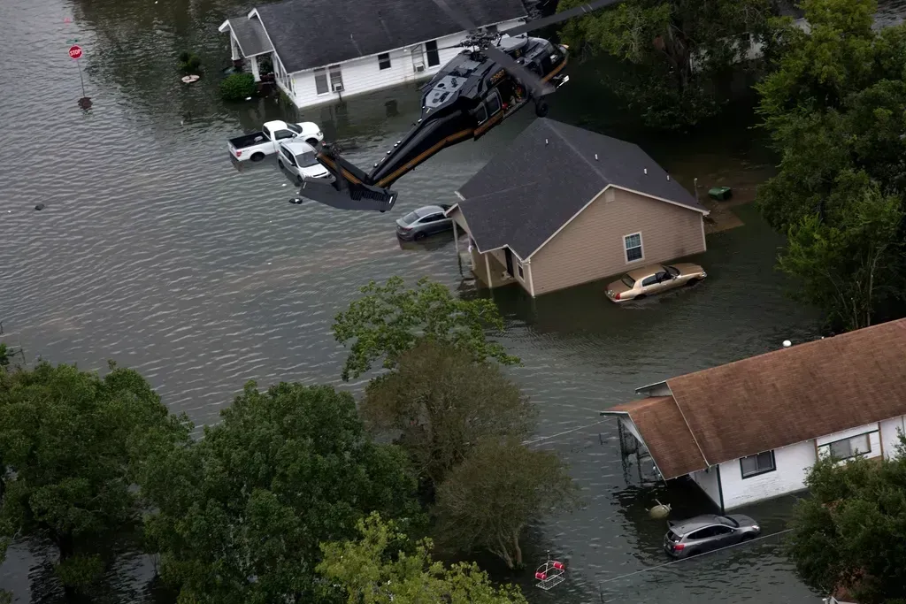
While the Plains dry out, parts of the Corn Belt and Mississippi Delta are seeing the opposite problem: heavier, more concentrated rainfall events that overwhelm drainage systems and delay planting. Saturated fields in spring can push corn and soybean planting dates back by weeks, cutting into the growing season and, in bad years, forcing farmers to abandon fields entirely.
Persistent flooding also degrades soil structure over time, compacting it in ways that reduce root penetration and drainage even after the water recedes. Levee systems along the Mississippi River basin, many built decades ago, are increasingly tested by these more intense storm patterns, and repeated flood damage has already taken some bottomland acres out of reliable production.
12. Vanishing soil organic matter
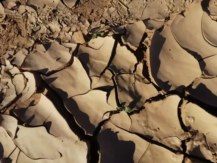
Healthy soil needs organic matter, decomposed plant and microbial material that helps it hold water and nutrients. Continuous row cropping without adequate cover or rotation gradually strips that organic matter away, leaving soil more vulnerable to both drought and erosion at the same time.
Global soil assessments describe this dynamic clearly. Degraded soil, resulting largely from intensive farming practices, is low in organic matter, which means it does not retain water as effectively, making land more vulnerable to climate shocks such as droughts, wildfires, and water shortages. That vulnerability compounds with every other item on this list, since low organic matter soil recovers more slowly from heat, flooding, or salinity stress than healthy soil does.
13. An aging farmer generation and land in transition
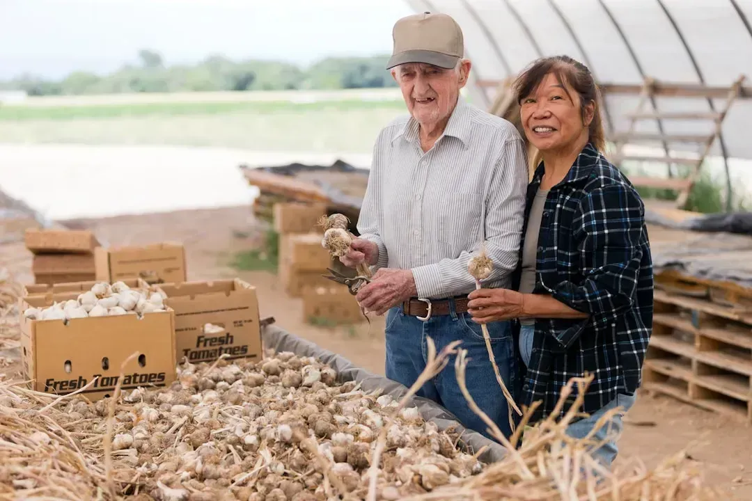
Productivity is not only a physical question, it is also a generational one. Farm management researchers note that the current population of producers is aging out, and it is expected that 70% of farmland will change hands in the next 20 years.
How that transition unfolds matters enormously for whether land stays in production agriculture at all. According to the American Farmland Trust, ownership of 40 percent of America’s agricultural land will be in transition within the next 15 years, and without clear succession plans, much of that land is at risk of being sold for development, split among heirs in ways that discourage active farming, or leased to operators with less incentive to invest in long-term soil health.
14. Colorado River shortages squeezing Southwest farms
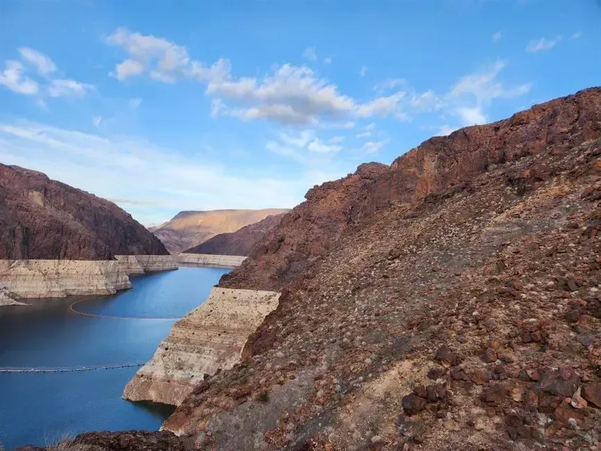
Arizona, California’s Imperial Valley, and parts of Colorado depend heavily on Colorado River allocations that have been shrinking for years under sustained drought and overuse. Mandatory cutbacks agreed among the seven basin states have already forced some growers to fallow fields rather than plant a full crop.
The river’s reservoirs, Lake Mead and Lake Powell, have both dropped to historically low levels in recent years, and the long-term water sharing agreements governing the basin remain under renegotiation. Farmland tied to Colorado River water is effectively hostage to decisions made far outside any individual grower’s control, which is part of why agricultural land values in the lower basin have grown increasingly unpredictable.
15. Pollinator losses undercutting yields
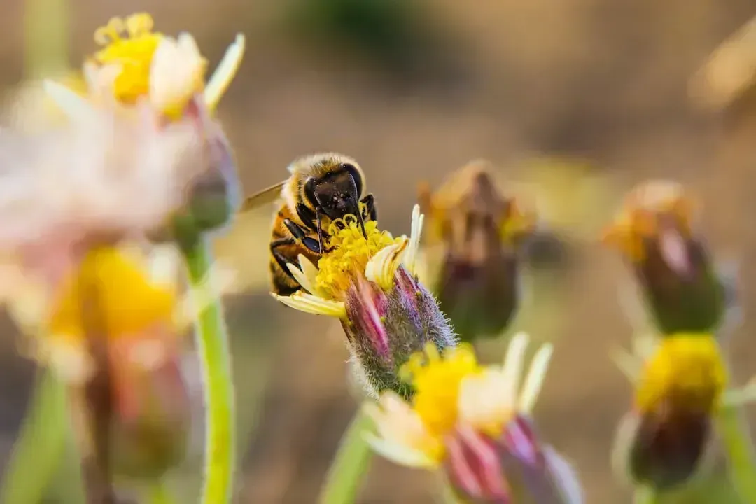
Roughly a third of the crops Americans eat depend at least partly on animal pollination, and honeybee colony losses along with declines in wild native pollinators have become a persistent concern for orchard, berry, and vegetable growers. Habitat loss, pesticide exposure, and disease all play a role, and no single fix has fully solved the problem.
Farms that rely on rented pollination services have seen costs climb as commercial beekeepers face their own losses year after year. Even land with excellent soil and water can underperform if the crops grown on it can no longer be reliably pollinated at the density needed for a full harvest.
16. Invasive pests moving north

Warmer winters are letting insect and plant pests survive in regions that used to be too cold for them. Species like the spotted lanternfly and various corn and soybean pests have expanded their ranges northward over the past decade, forcing growers in newly affected states to adopt pest management practices they never needed before.
Once an invasive species establishes itself, eradication is rarely realistic, and ongoing suppression becomes a permanent added cost of farming that land. In some cases, particularly aggressive pests have made certain high value crops, like specific fruit varieties, uneconomical to grow in areas where they once thrived.
17. Nutrient runoff and dead zones downstream
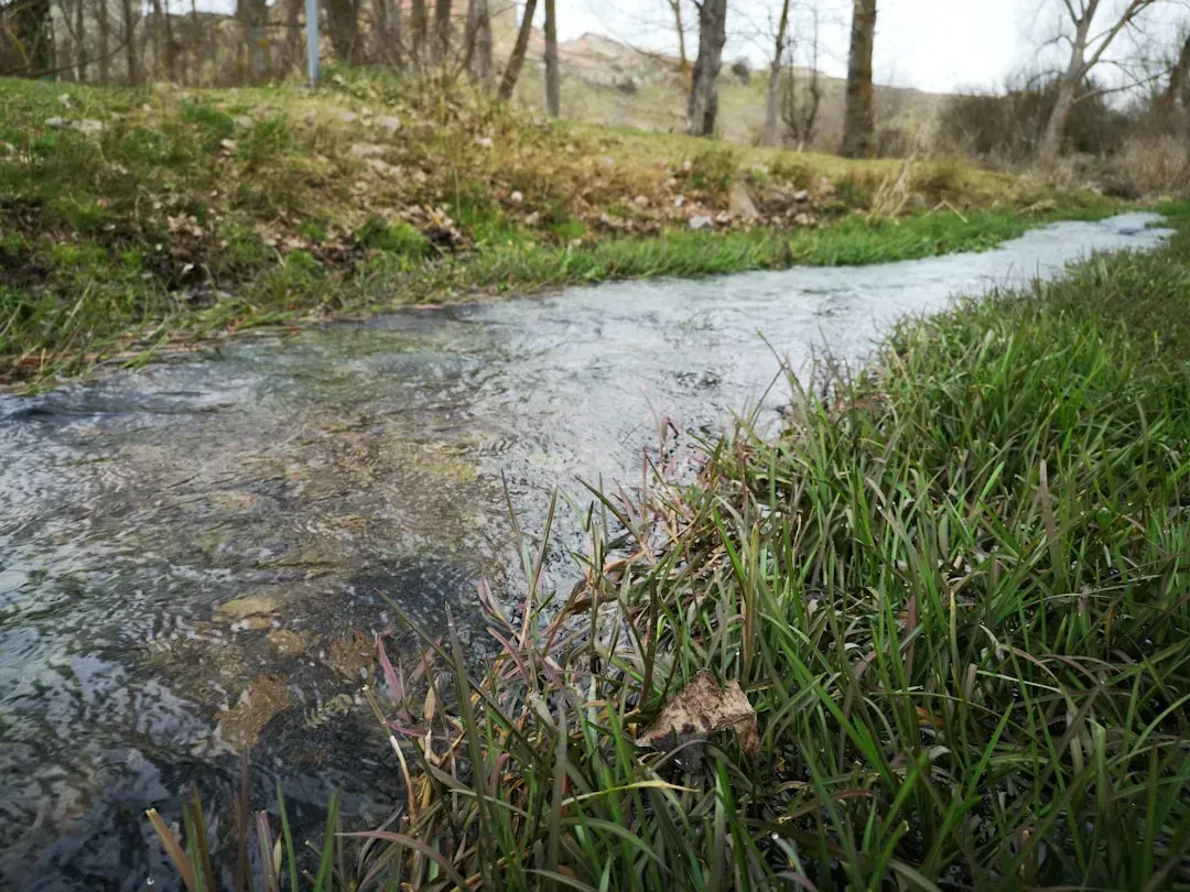
Farmland productivity and water quality are tightly linked, and not always in the farmer’s favor. Excess nitrogen and phosphorus from fertilizer washing off fields feeds the annual hypoxic zone in the Gulf of Mexico, a well documented dead zone fed largely by Mississippi River basin agriculture, and similar nutrient loading problems plague parts of the Great Lakes.
Regulatory pressure to reduce runoff is likely to intensify as these water quality problems persist, and that could mean new restrictions on fertilizer timing or application rates in sensitive watersheds. Farmland in nutrient-restricted zones may need costly buffer strips or precision application equipment just to remain compliant, adding pressure on operations already working with tight margins.
18. Farmland traded for solar panels
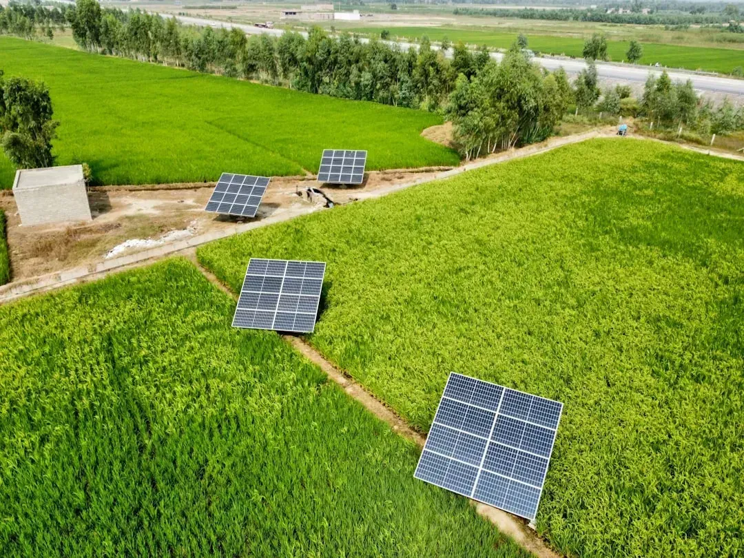
The renewable energy build-out competes directly with agriculture for flat, accessible, well-connected land, and farmland often fits that description perfectly. Large scale solar developers frequently offer lease payments that exceed what row cropping alone can generate, which makes converting fields to solar arrays an attractive option for landowners facing thin farm margins.
This is not necessarily permanent loss in the way pavement is, since some solar leases are designed to be reversible after a few decades. Still, land taken out of production for twenty or thirty years to host panels is effectively unavailable for farming during that entire window, and the cumulative acreage involved is growing quickly across the Midwest and Southeast.
19. Shifting climate zones changing what will grow
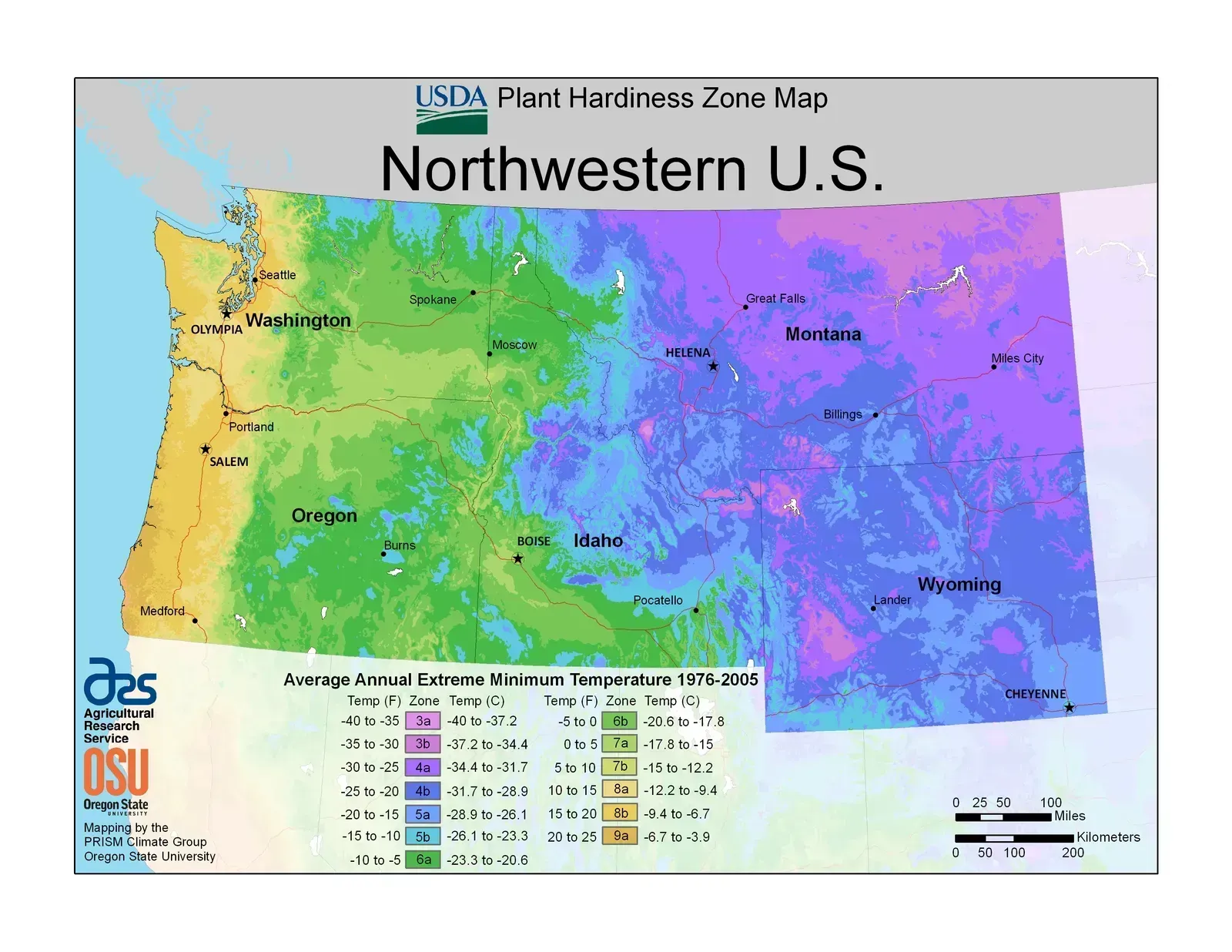
USDA’s plant hardiness zone map, last significantly updated in recent years, already reflects a warming trend that is pushing growing zones northward across much of the country. Crops that once thrived in a given county may simply stop being the best economic choice there within a few decades, forcing growers to adapt varieties or switch crops entirely.
This kind of change does not make land literally unproductive, but it can make it unproductive for the specific crop rotations, infrastructure, and expertise a given farm has built over generations. Adapting takes capital, new equipment, and years of trial and error, which not every operation can absorb without financial strain.
20. Expanding aridity in the desert Southwest
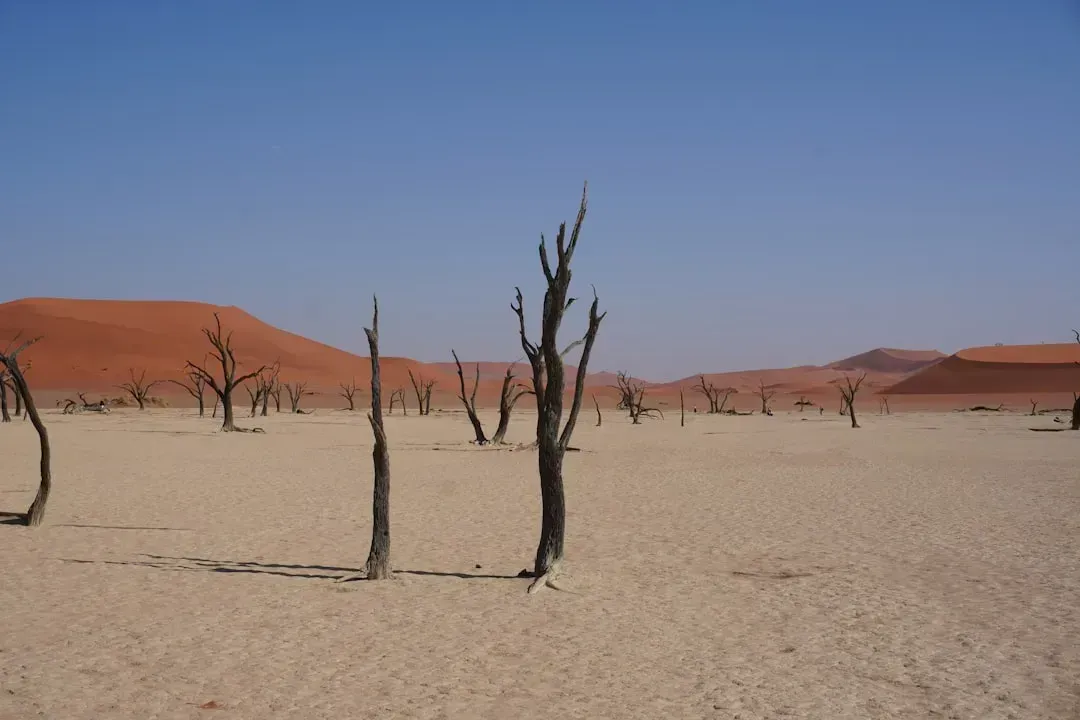
At the far edge of the spectrum sits outright desertification, the gradual conversion of marginal farmland and rangeland into desert-like conditions as vegetation cover thins and soil moisture drops permanently. Parts of eastern New Mexico, West Texas, and southern Arizona already show signs of this transition, compounding the pressures from Colorado River shortages and Ogallala depletion discussed earlier.
Once land crosses into a truly arid state, restoring it to productive agriculture is extraordinarily difficult and expensive, often requiring decades of careful vegetation management even under the best circumstances. For farms sitting at that boundary, the coming decades will likely determine whether the land stays in agriculture at all or shifts permanently toward a drier, less productive future.

- Crows Remembering Human Faces for Decades – 6 Bird Behaviors Far Smarter Than We Knew - November 15, 2026
- 8 Things Astronauts Do on Their First Day in Orbit That Rookies Find Strange - November 15, 2026
- 11 Everyday Routines That Are Completely Normal on the Space Station but Baffle Everyone on Earth - November 15, 2026
