


- Phantom Energy Sucking Power 24/7 – 7 Home Electronics Quietly Inflating Utility Bills - November 14, 2026
- A Million-Mile Storm Raging for Centuries – 6 Violent Weather Wonders in Our System - November 14, 2026
- Animals Flee Hours Before the Tremor – 7 Natural Warnings Before Disasters Strike - November 14, 2026
A rapidly strengthening El Niño in the Pacific
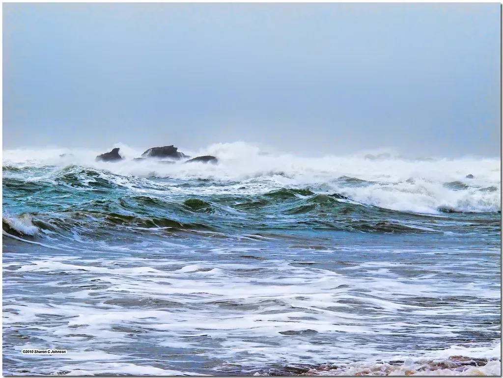
The biggest shift on the board is the transition away from La Niña and into a fast-developing El Niño. NOAA declared an El Niño Advisory on July 9, 2026, with forecasters saying the event was already strengthening and had a 97% chance of continuing into early spring 2027, with an 81% chance it could become very strong. That is a notably confident call this early in the season.
The ocean numbers back it up. The tropical Pacific has undergone a major shift, with NOAA reporting that the Niño 3.4 region had warmed to approximately 1.2°C above normal by early July. Earlier in the spring, model consensus was already trending this way, with strong agreement among the 26 participating models that El Niño conditions would strengthen through the remainder of 2026 and persist into early 2027. When that many models agree this far out, it is worth paying attention.
Talk of a genuine super El Niño
What makes this year different from a routine El Niño winter is the possibility of it becoming something bigger. A super El Niño describes a very strong cycle in which Pacific Ocean temperatures rise by more than 2 degrees Celsius above average, and there is currently a 25% chance of this occurring, the highest in years, since the cycle is usually seen once every decade. A quarter chance may not sound like a guarantee, but for an event that typically shows up once a decade, it is a meaningful jump.
Even short of that extreme, the strong end of the range looks plausible. A strong El Niño has a 50% chance of developing when Pacific Ocean temperatures rise more than 1.5 degrees Celsius above average. Whether it lands as strong or super, the practical effect is similar: a reshaped jet stream, a shifted storm track, and a winter that behaves noticeably differently from the La Niña pattern of the past two years.
Arctic sea ice keeps hitting record lows
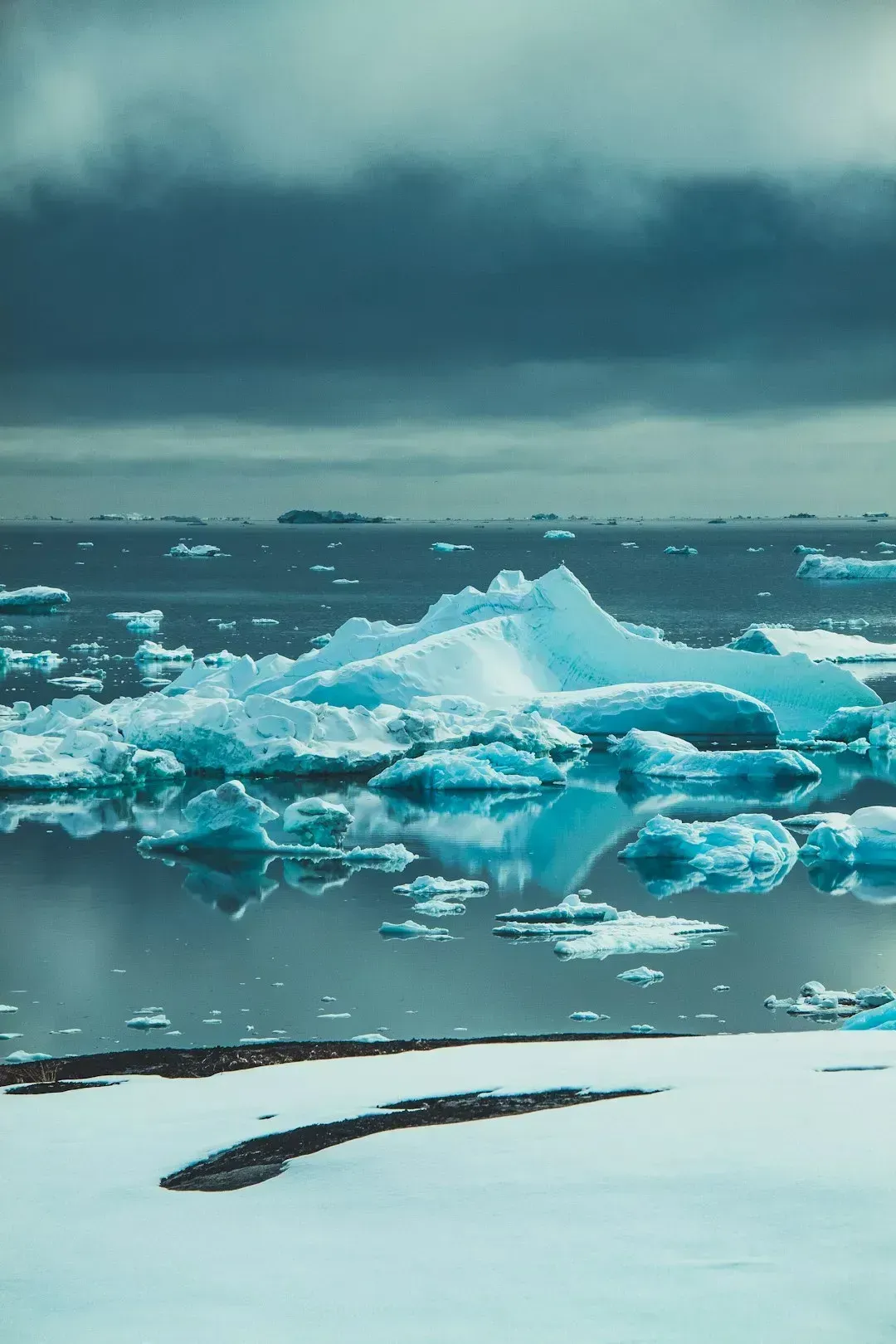
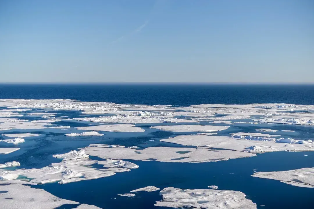
Away from the tropics, the Arctic itself is sending its own warning. In 2026, Arctic winter sea ice extent peaked at 14.29 million square kilometres, statistically tying with 2025 for the lowest maximum in the 48-year satellite record and about 8% below the 1981 to 2010 long-term average, equivalent to roughly 1.2 million square kilometres less ice than typical winter conditions. That is an area of missing ice roughly the size of South Africa.
Climate scientists describe the pattern in blunt terms. Zack Labe, a climate scientist at Climate Central, told Carbon Brief that Arctic sea ice is entering late winter in one of its weakest states in the satellite record. Two consecutive record-low winters is not a fluke of weather. It is a trend line, and it matters for what happens thousands of miles south later in the season.
Why a warmer Arctic actually fuels colder cold snaps
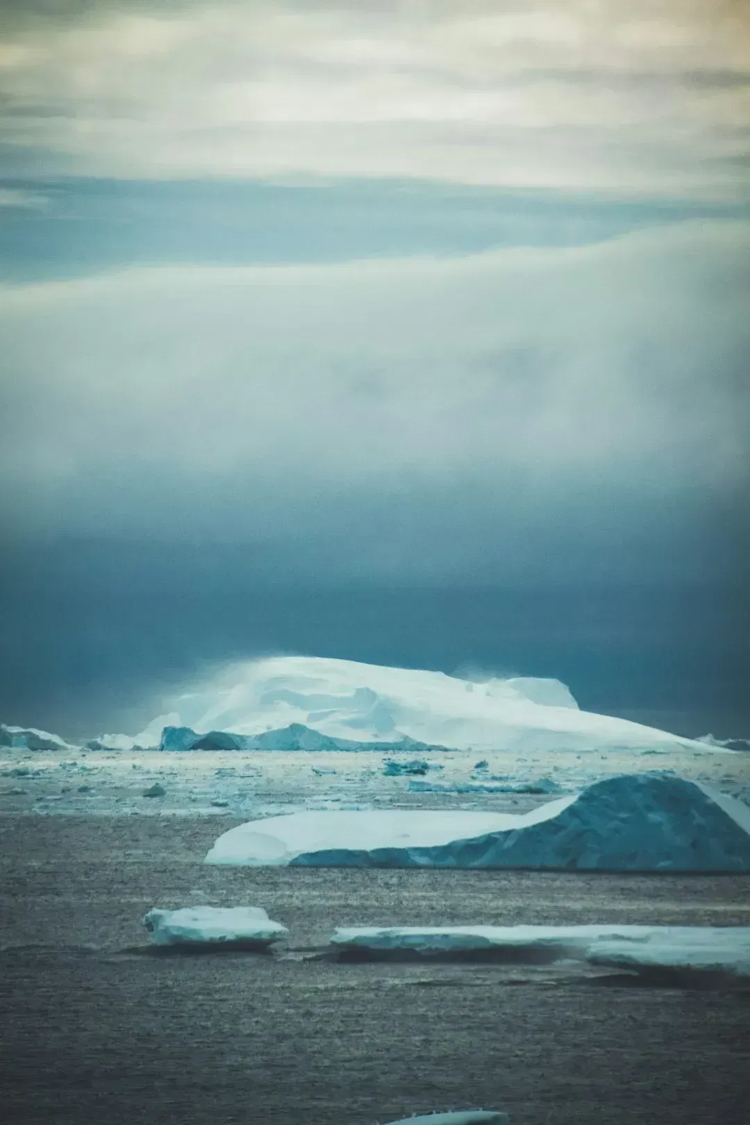
It sounds backward, but a warmer Arctic can mean sharper cold outbreaks elsewhere. Arctic winter sea ice acts as an insulating barrier between the relatively warm ocean and the cold atmosphere, and when winter ice shrinks, heat and moisture escape into the air, disrupting atmospheric pressure and global storm tracks further south. The Arctic effectively leaks its cold southward instead of holding onto it.
Research from Woodwell Climate and the firm Atmospheric and Environmental Research has tracked this connection closely. A study co-authored by researchers at AER and Woodwell Climate Research Center found that abnormally warm temperatures in the Arctic are associated with a higher likelihood of severe winter weather including cold-air outbreaks and heavy snowfall in Northern Hemisphere continents, with lead author Judah Cohen noting the effect is strongest in the northeastern sections of the continents. It is a pattern that keeps showing up year after year in the data.
A wavier jet stream is doing the delivering

None of this cold reaches the mid-latitudes without a mechanism, and that mechanism is the jet stream. Recent months have seen strong temperature contrasts over the northern hemisphere, with large parts of the Arctic unusually warm while northern Eurasia, northern Canada and the north-eastern US experienced unusually cold conditions, linked to a more wavy jet stream that can push cold Arctic air southward while bringing warmer air into the Arctic. It is a two-way exchange, warm air moving north as cold air spills south.
Longer-term studies of the jet stream’s behavior echo this idea. Rutgers University climate scientist Jennifer Francis has found robust relationships between Arctic warming and a wavier jet stream, since melting sea ice speeds up the warming of the Arctic because open water absorbs more heat. The wavier the path, the more likely a deep dip carries frigid air far south of where it usually stays.
The polar vortex wildcard
Sitting above all of this is the stratospheric polar vortex, a spinning mass of frigid air that can either stay locked up near the pole or break loose and spill outward. There is plenty of research linking disruptions of the stratospheric polar vortex to extreme cold air outbreaks in the mid-latitudes of the United States or Eurasia a few weeks later. When it wobbles or splits, the effects tend to show up on the ground a few weeks after the fact.
This past winter offered a real-world example of just how disruptive that can be. Long-range indications suggested the potential for cold events to persist into January, following a Stratospheric Warming event and the collapse of the Polar Vortex. Forecasters noted just how rare the early timing was. They found only 3 stratospheric warming events that occurred this early in the season in the past 70 years, in 1958, 1968, and 2000, all with November timing. Rare events like that tend to leave a lasting mark on the season that follows.
What NOAA’s regional outlook actually says
Translating all of this into a map is where things get specific. Early comparisons for the coming season point to a milder overall tone than last winter across much of the north, paired with wetter patterns farther south. Compared with last winter, the early 2026 to 2027 forecast favors warmer conditions across much of the northern U.S. and increased precipitation chances across portions of the southern U.S., alongside drier conditions becoming more likely in parts of the Pacific Northwest and northern tier, more rain-versus-snow uncertainty along the East Coast, and potentially productive storm cycles for the southern Rockies. That is a fairly different setup than the La Niña winter that just wrapped up.
Canada’s forecasters are seeing something similar on their side of the border. The outlook favored warmer-than-normal conditions around Hudson Bay and parts of northern Manitoba, Ontario and Quebec, with more precipitation near the Rockies and a more active pattern in eastern Canada, meaning winter 2026 to 2027 may be milder across much of Canada, with southern and eastern storm tracks determining where precipitation falls as snow rather than rain. Elevation is going to matter more than usual for anyone tracking snowpack.
Not every scientist agrees on the Arctic connection
It is worth being upfront that the link between a warming Arctic and colder mid-latitude winters is genuinely debated among researchers, not a settled consensus. Climate scientist James Screen co-authored research using climate models to predict what happens as Arctic sea ice reduces further, and it found sea ice loss had only a very small effect on the jet stream and no real sign of an effect on the polar vortex, with the observed bursts of cold explainable by normal weather variability. That is a serious counterpoint from someone working the same data.
A more recent study out of Dartmouth adds another layer of complexity. Lead researcher Erich Osterberg said these findings fundamentally change the way he approaches the problem, suggesting that if the jet stream is not the critical link between climate change and more severe storms, attention needs to shift to different explanations for the extreme weather being observed. The honest summary is that the broad pattern, a warmer Arctic and more volatile mid-latitude winters, keeps showing up in the observational record, even as scientists continue arguing over exactly which mechanism deserves the credit.
Echoes of past strong El Niño winters
History offers some rough guidance, even if it is never a perfect map. Strong El Niño winters have historically pushed the storm track south, tending to soak the southern United States while leaving the northern tier drier than usual, a pattern that lines up with what forecasters are already flagging for the season ahead. The 2015 to 2016 super El Niño, one of the strongest on record, produced exactly that kind of split, wet and stormy across the Gulf Coast and Southeast, unusually mild across the northern Plains and Great Lakes for long stretches.
What tends to complicate the picture is how often a strong El Niño coexists with a disrupted polar vortex, since the two do not cancel each other out so much as trade off which region gets hit and when. That is part of why forecasters keep describing this stretch of research as a moving target rather than a settled forecast. The ingredients for volatility are present, even if the exact timing and location of any given cold snap remains, as always, a short-range forecasting problem rather than a seasonal one.
Preparing for a season that could swing both ways
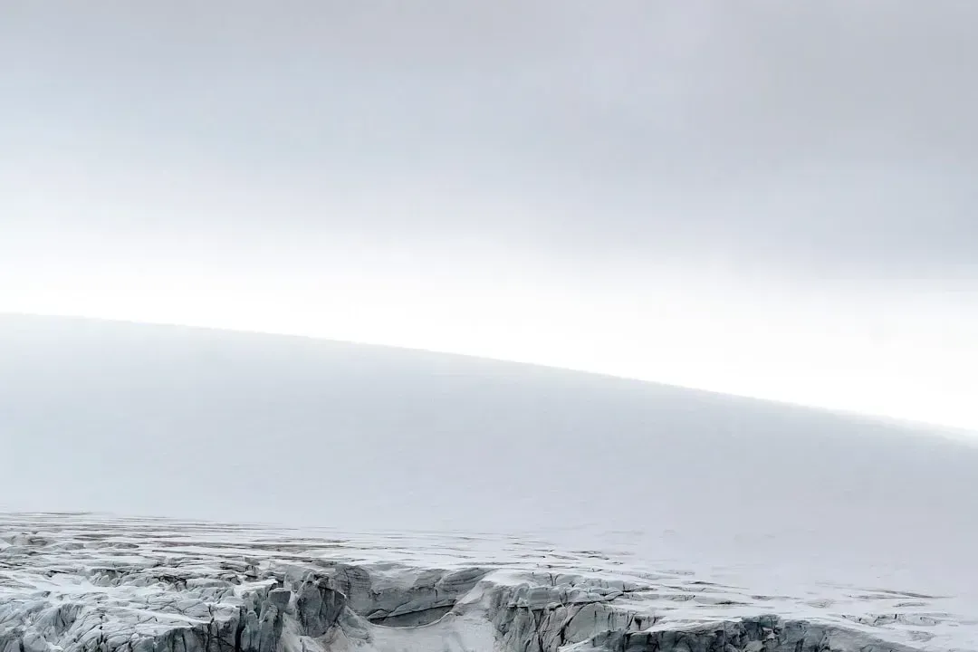
The practical takeaway from all this is that the coming winter is shaping up to be one of contrasts rather than a uniformly mild or uniformly brutal season. Regions in the northern tier may see a generally warmer baseline punctuated by sharp, short-lived cold intrusions when the polar vortex misbehaves, while the south could face a more active and wetter pattern than it has seen in a couple of years. That kind of volatility, warm stretches broken up by sudden arctic plunges, is often harder to plan around than a season that is simply cold from start to finish.
Basic seasonal readiness still applies regardless of which scenario plays out: insulated pipes, a working heat source, and an eye on short-range forecasts rather than relying solely on the seasonal outlook. The 2026 winter season serves as a reminder that while seasonal forecasts provide a blueprint, the daily weather is often dictated by sudden shifts in the high-altitude winds of the polar vortex. That single sentence captures the whole challenge of forecasting a season shaped by so many moving parts at once.
The bigger picture

Put the pieces together and a pattern emerges that is less about any single storm and more about a system under strain. A strengthening El Niño, a record-low Arctic ice cover, a jet stream prone to wandering, and a polar vortex that keeps showing a willingness to buckle, none of these facts alone would be remarkable, but together they describe a winter with more moving parts than usual. That does not guarantee a season of nonstop misery, and forecasters are careful to note that seasonal outlooks describe tendencies, not certainties.
What it does suggest is a winter capable of sharper swings than the one before it, warmer on average in some places, colder in sudden bursts elsewhere, and wetter or snowier depending on exactly where the storm track decides to settle. For anyone trying to plan around it, the honest advice from the climatologists tracking these signals is the same one they give every year around this time: watch the short-range forecasts closely, because the big seasonal picture only tells part of the story.
