

Two of the South’s busiest boomtowns keep adding residents by the tens of thousands every year, and both are learning that rapid growth and a shifting climate don’t mix well. Atlanta and Charlotte sit less than 250 miles apart, share a similar humid subtropical climate, and attract many of the same newcomers chasing jobs, lower costs, and warmer winters. But beneath the surface, their exposure to heat, flooding, and storms looks surprisingly different once you start comparing the data.
Two Boomtowns Under Pressure
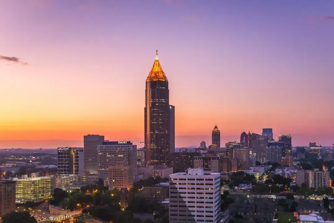
Charlotte has recently claimed the title of the fastest growing city in the country, adding 20,731 people between 2024 and 2025, more than any other city in the country, per the newest Census data. That surge pushed the Queen City’s population past the 964,000 mark, keeping it just shy of overtaking San Jose as the 13th largest city in America.
Atlanta’s growth has been steadier rather than explosive. The City of Atlanta grew 5.8%, adding 29,024 residents, which puts it almost perfectly in line with the region as a whole, which grew 5.9% over this same period. Both cities are absorbing new subdivisions, new pavement, and new stormwater demands faster than most of their peers, which is exactly why their climate vulnerabilities matter so much right now.
Extreme Heat: A Shared and Growing Threat
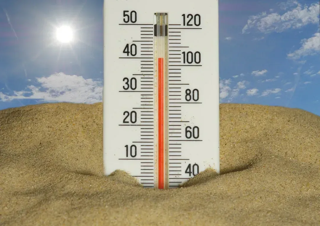
Heat is where these two cities look the most alike, and not in a good way. Independent risk assessments rate heat and precipitation risk in Atlanta as extreme, while the same type of analysis finds heat risk in Charlotte is also extreme. Both cities are projected to see their hot-day counts climb over the coming decades rather than level off.
Charlotte’s numbers get specific in a way that’s hard to ignore. By 2041, Charlotteans will see at a minimum an extra month or more per year where temperatures climb above 95 degrees Fahrenheit. Atlanta researchers have reached similarly grim conclusions, with Georgia Tech modeling showing that a multi-day blackout during a heat wave could send roughly 12,500 people to emergency rooms in a city with far fewer available beds than that.
Flooding Risk: Comparing the Numbers
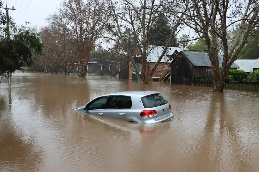
On paper, Charlotte actually carries a slightly heavier flood burden than Atlanta when measured across its building stock. Climate risk modeling shows buildings at risk in Charlotte average about a 44% chance of a flood about 1.7 feet deep over 30 years, compared with buildings at risk in Atlanta averaging about a 38% chance of a flood about 1.6 feet deep over 30 years. Charlotte also has more flood-prone census tracts in raw terms.
Specifically, of 433 census tracts in Charlotte, there are 12 where more than a quarter of buildings have significant risk from surface and riverine flooding, while of 383 census tracts in Atlanta, there are 5 where more than half of buildings have significant risk from the same combined flooding types. The comparison isn’t perfectly apples-to-apples since the thresholds differ, but it tells you flooding is a serious concern in both places, not just one.
Rainfall Intensity Is Rising Faster in Atlanta

Total flood exposure is one thing, but the trend line for rainfall intensity tells its own story. A Climate Central analysis found that hourly rainfall intensity increased between 1970 and 2024 in nearly 90% of the 144 locations analyzed, and in Atlanta that intensity grew by 13%. That’s a meaningful jump for a city whose stormwater systems were largely designed decades before anyone modeled climate-driven downpours.
Warmer air holds more moisture, and human-driven climate change is resulting in warmer air, which holds more moisture and can drive more intense precipitation, while hotter temperatures also evaporate more water vapor from lakes, oceans, and vegetation. Atlanta’s own history backs this up: the city over the last 25 years has grappled with heavy and rapid downpours that have led to flash flooding and residents being trapped in their homes. Charlotte faces the same physics, though its documented intensity increase hasn’t been quantified in quite the same headline-grabbing way.
Charlotte’s Brush With a Historic Hurricane
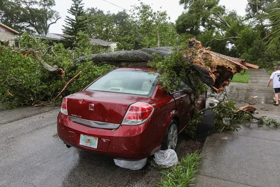
If there’s one event that separates the two cities’ recent climate experience, it’s Hurricane Helene. The storm that tore through the Southeast in September 2024 became, according to federal analysis, responsible for at least 250 fatalities in the United States, including at least 175 direct deaths, making it the deadliest hurricane in the contiguous U.S. since Katrina in 2005. North Carolina bore an outsized share of that toll.
Charlotte itself avoided the worst of the mountain devastation seen in Asheville, but it didn’t escape unscathed. The Charlotte Airport recorded the strongest wind gusts it had seen since a thunderstorm microburst in August 2019, and local flooding from an opened floodgate damaged homes on at least one Charlotte street. Statewide, Helene caused an estimated $78.7 billion worth of damage, according to the National Centers for Environmental Information, a scale of destruction Atlanta has not had to reckon with from a single storm in recent memory.
Drought and Water Supply Strain
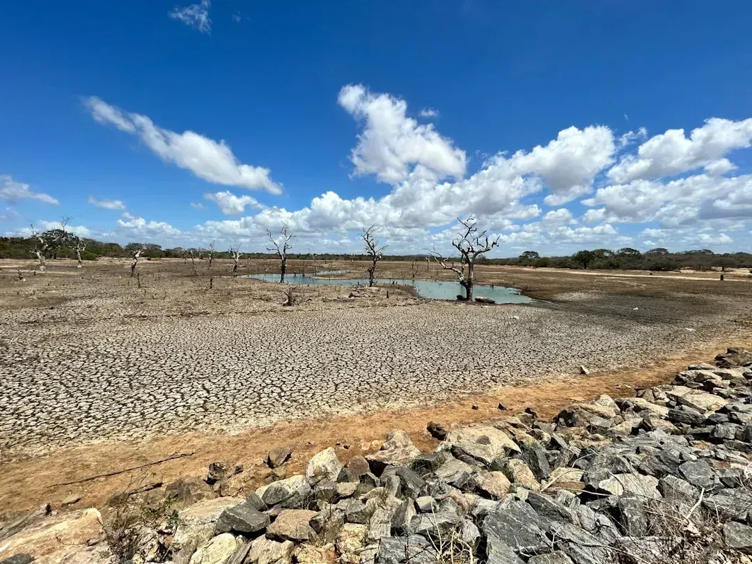
Heat and flooding get most of the attention, but drought quietly threatens both regions’ long-term water security. Georgia currently ranks in the upper tier nationally for combined climate risk, and analysts note that drought risk in Atlanta is significant. Charlotte’s numbers run a bit hotter still, with regional assessments describing drought risk in Charlotte as high.
The mechanism behind rising drought risk is the same disruptive water cycle driving heavier rain events elsewhere. With more moisture evaporating from soil into the atmosphere and disrupting the water cycle, naturally occurring cycles of drought plus spring and winter precipitation will intensify around Charlotte. Atlanta has already lived through this whiplash pattern, having experienced natural disaster declarations as severe drought impacted food systems and water availability for municipalities, industry, and wildfires.
Wildfire: The Smaller but Not Absent Risk

Wildfire ranks lowest among the major hazards for both metros, but it isn’t zero, and both cities have felt smoke from fires burning well outside their borders. Atlanta’s building stock shows about 87% of buildings at risk of wildfire, though the risk level for these buildings is relatively low. Charlotte’s exposure looks similar in shape, with about 96% of buildings at risk of wildfire, and the risk level for these buildings is relatively low.
North Carolina’s own fire season has grown more active in recent years, and 2025 brought a documented wave of blazes across the state tied to dry spring conditions. As temperatures rise between mid-March and mid-April, surface fuels dry out more easily, and pre-green-up vegetation combined with occasional gusty winds creates conditions favorable for ignition. Air quality impacts from distant wildfires have also reached both regions, including smoke that traveled hundreds of miles during major fire events in recent years.
Sprawl, Pavement, and the Urban Heat Island Effect
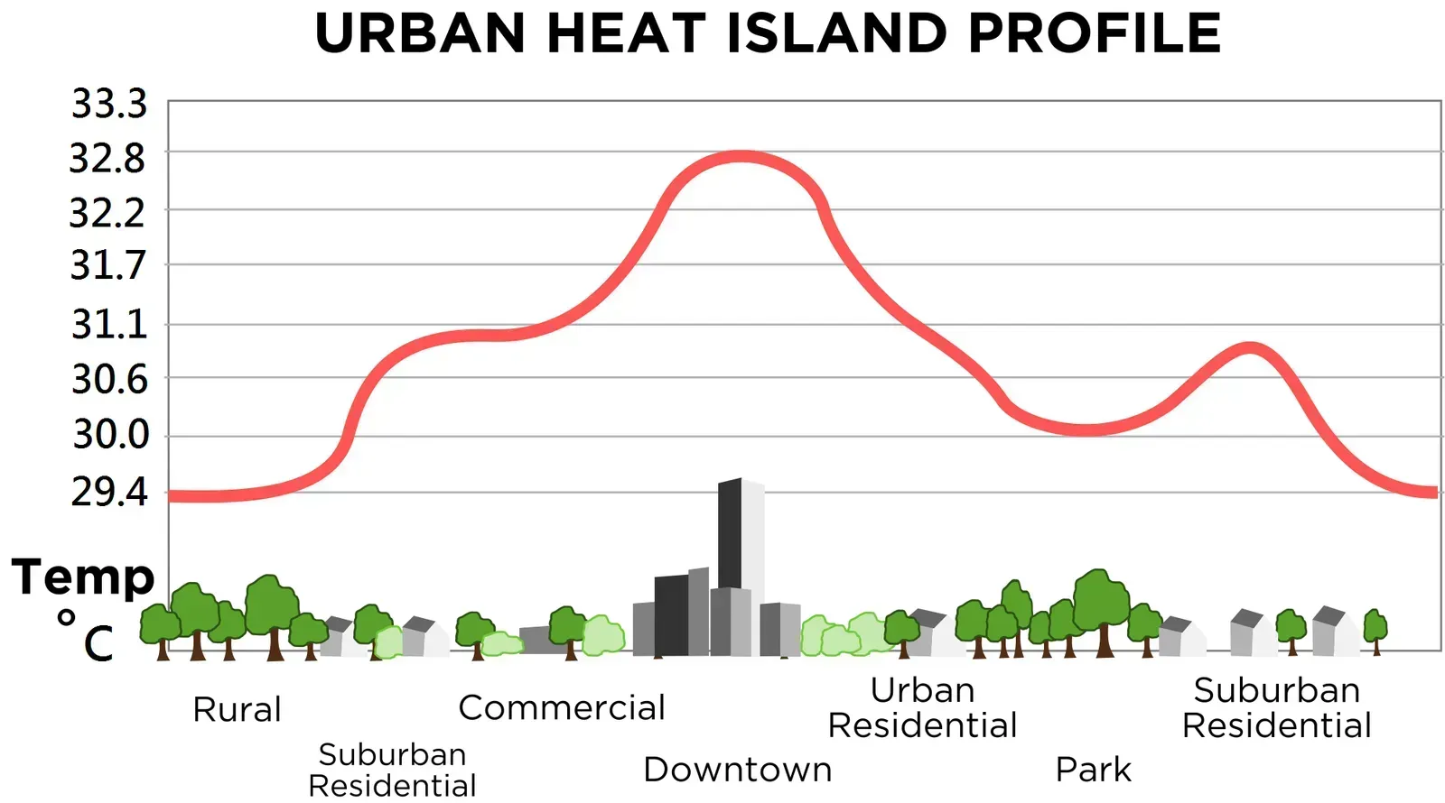
Both cities are growing outward as much as upward, and that pattern amplifies heat risk in ways that have nothing to do with the thermometer alone. Researchers studying Charlotte’s expansion have pointed out that the city is one of the fastest-growing cities in the country, and that unchecked sprawl compounds the urban heat island problem by replacing tree canopy and open land with pavement and rooftops. The same dynamic plays out in Atlanta, where researchers have mapped heat risk down to the neighborhood level to see exactly where pavement and lost tree cover collide.
Atlanta’s own heat mapping work has been unusually granular. A citywide heat risk assessment conducted by Georgia Tech’s Brian Stone found that heat and flood risks are overwhelmingly concentrated in vulnerable neighborhoods to the west and south of downtown Atlanta. That kind of hyperlocal detail helps explain why two people living ten miles apart in the same metro area can experience wildly different climate realities.
Who Bears the Burden: Climate Equity Gaps

Both cities show a similar pattern where the hottest, wettest, and most flood-prone neighborhoods overlap with lower-income communities that have the fewest resources to adapt. In Atlanta, researchers found that the same distressed neighborhoods carrying the highest heat and flood exposure also have an energy burden, the percentage of household income spent on utilities, that is high or greater than 6 percent, with astonishingly 50,000 households in the city considered energy burdened. That financial strain often leads directly to housing instability.
Charlotte faces a parallel challenge as its boom reshapes who can afford to live where. Analysts note that without deliberate intervention, damage from climate events will challenge Charlotte’s ability to manage and sustain its rapid growth as well as its ability to bridge the drastic divide between rich and poor. Groups most exposed to heat illness in Charlotte include children, seniors, the homeless, and community members who work or play outside or depend on outdoor transit services such as waiting at bus stops.

- The Shoreline Sucked Dry in Seconds – 5 Tsunami Signals Beachgoers Mistake for Low Tide - November 14, 2026
- 9 Dark-Sky Destinations Around the World Where the Stars Look Unreal - November 14, 2026
- The Fault Line That Never Slips – 7 Locked Seismic Zones Overdue for a Massive Release - November 14, 2026
