


- The Real Reason This California City Keeps Making Every ‘Most Expensive to Insure’ List - November 13, 2026
- The Space Mission Mistake That Almost Changed History – and How the Crew Recovered - November 13, 2026
- The 7 Planets and Moons Scientists Say Would Be the Most Livable for Humans - November 13, 2026
The Jet Stream Takes a Southern Detour
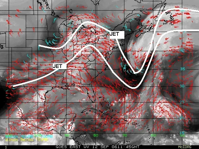
El Niño works by warming surface waters in the central and eastern tropical Pacific, and that warmth doesn’t stay put. This oscillating warming and cooling pattern directly affects rainfall distribution in the tropics and can have a strong influence on weather across the United States and other parts of the world. One of the clearest results is a southward nudge in the polar jet stream, which tends to settle across the southern tier of the country during El Niño winters.
That relocated jet stream acts like a conveyor belt, dragging storm systems along a path that runs through Texas, the Gulf Coast, and Florida rather than the Ohio Valley or Northeast. It’s a subtle mechanical shift, but it’s the reason so many downstream effects, wetter winters, cooler snaps, active storm tracks, show up so consistently across the South.
Wetter Conditions Become the Norm Along the Gulf Coast
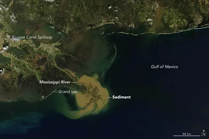
One of the most reliable El Niño signals is increased rainfall stretching from South Texas through the Florida Panhandle. Storms riding that southern jet stream pick up moisture from the Gulf of Mexico and dump it repeatedly on the same corridor, sometimes leading to flooding concerns in low-lying areas.
This isn’t a one-off pattern either. Climate records dating back decades show this wet bias showing up again and again during moderate-to-strong events, which is part of why NOAA’s seasonal outlooks lean so heavily on ENSO status when drafting winter precipitation forecasts.
Texas Often Sees a Break from Drought
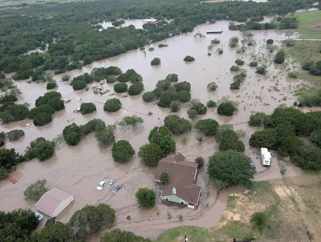
Texas, a state that cycles between drought and deluge more than most, tends to benefit from El Niño winters. The increased storm activity typically replenishes reservoirs and soil moisture across Central and South Texas, offering at least temporary relief from the dry stretches that often follow La Niña years.
That said, the relief can come with a catch. Heavier rainfall concentrated into shorter windows sometimes raises flash flood risk, particularly in the Hill Country and along the I-35 corridor where terrain and rapid runoff have historically combined to produce dangerous flooding events.
Cooler, Not Colder: A Common Misread
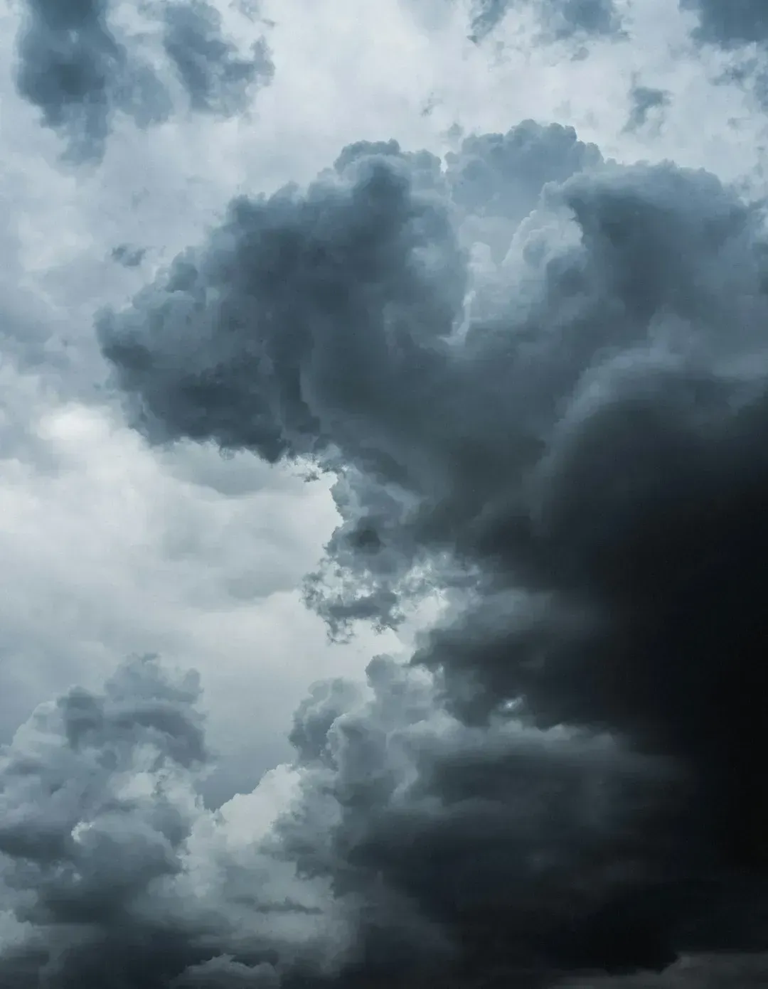
People often assume El Niño brings brutal cold to the South, but the reality is more nuanced. Average temperatures across much of Texas, Louisiana, and the western Gulf Coast tend to run slightly below normal, though this is usually a moderate cooling rather than the kind of extreme Arctic intrusions associated with a weak or disrupted polar vortex.
The cooling is largely a byproduct of increased cloud cover and rainfall rather than direct cold air delivery. More clouds mean fewer sunny days to warm the afternoon air, which nudges seasonal averages down even without a major cold air outbreak.
Florida’s Winter Turns Stormier and Rainier
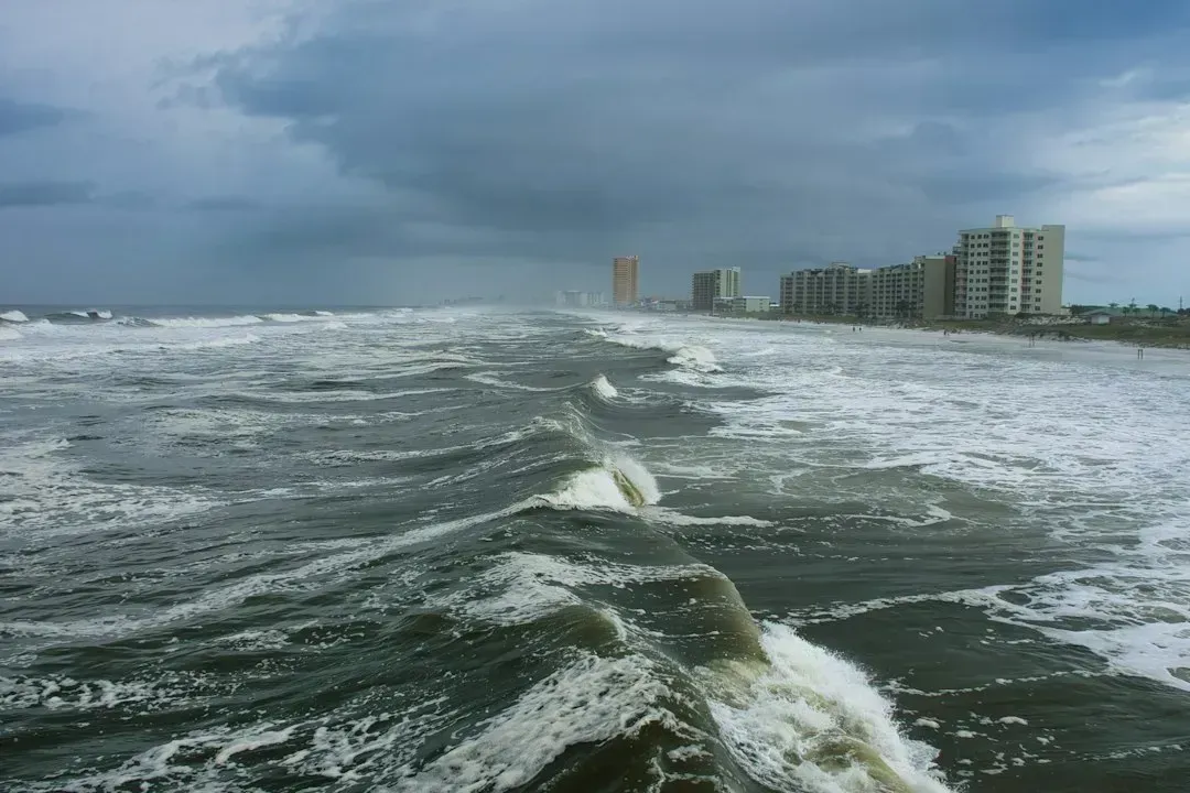
Florida sits almost directly in the path of the El Niño-favored storm track, and it shows. Winters during strong events often bring more frequent rounds of rain, gusty winds, and occasionally severe thunderstorms, a departure from the drier, sunnier winters Florida typically sees during La Niña years.
This pattern matters beyond just inconvenience. Increased winter rainfall can be a meaningful boost for the state’s water supply and Everglades ecosystem, even as it complicates outdoor tourism season and agricultural planning in central Florida’s citrus belt.
Severe Weather Risk Ticks Upward in Parts of the South
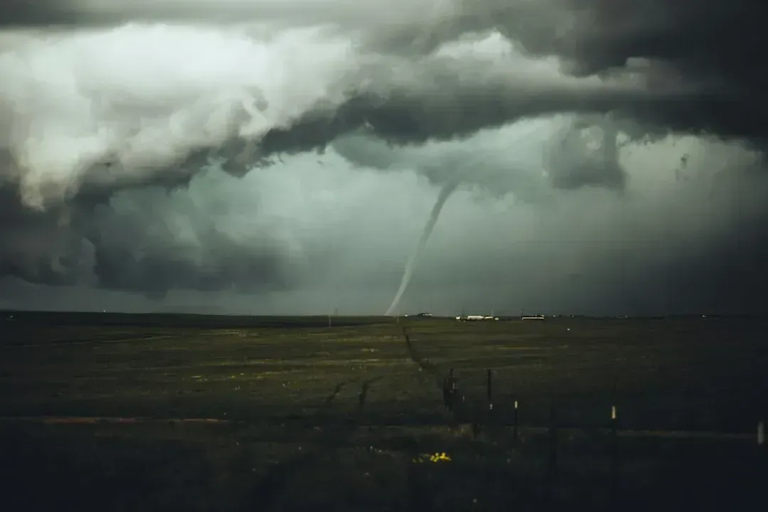
The same atmospheric setup that brings more rain also tends to increase the odds of severe thunderstorms and tornado outbreaks across the Gulf South during El Niño winters. Stronger wind shear associated with the shifted jet stream, combined with abundant Gulf moisture, creates more opportunities for organized severe weather, particularly across Louisiana, Mississippi, and Alabama.
Meteorologists have noted this connection especially during winters featuring a strong or very strong event, since the atmospheric ingredients line up more consistently than during weak or borderline El Niño years. It’s a reminder that “wetter” doesn’t just mean more drizzle, it can mean more organized storm systems too.
Snow and Ice Become More Frequent Visitors

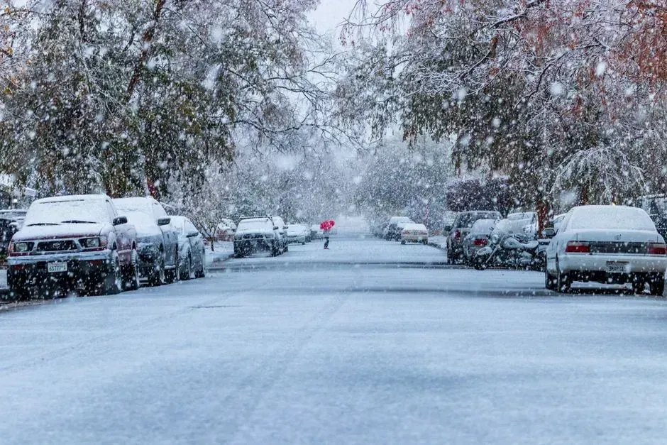
Because the storm track runs so directly through the South during El Niño winters, occasional wintry precipitation becomes more plausible in places that rarely see it. Ice storms and light snow events have shown up in parts of North Texas, Louisiana, and even the Florida Panhandle during past strong El Niño winters, usually when cold air intrudes just enough to meet an incoming Gulf moisture plume.
These events tend to be brief rather than prolonged, but they can be disruptive precisely because Southern infrastructure isn’t built for ice and snow the way northern states are. A single ice event in Dallas or Atlanta can shut down roads for days in a way that would barely register in Minneapolis.
The Southeast Interior Sees a Mixed Bag
Georgia, the Carolinas, and inland Alabama sit at something of a transition zone during El Niño winters. They typically get a slice of the wetter pattern affecting the Gulf Coast, but the temperature and precipitation signals are less dramatic and more variable than what’s seen closer to the coast.
Local topography and proximity to the coast play a bigger role here than in flatter, more uniformly affected areas like South Texas. This is part of why seasonal forecasters often express lower confidence for the interior Southeast compared to the more textbook El Niño response along the immediate Gulf Coast.
2026-27: A Test Case for an Unusually Strong Event
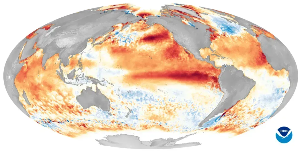
El Niño is strengthening, with a greater than 90% chance of a very strong event during the Northern Hemisphere fall and winter 2026-27, according to NOAA’s Climate Prediction Center. The Center gives the October through December 2026 season a substantial chance of a historic event, one that could exceed every El Niño in the record dating back to 1950.
That intensity matters because stronger El Niño events tend to produce more textbook, more amplified versions of the effects described above, sharper rainfall increases, more pronounced cooling, and a more clearly defined storm track. NOAA’s probability data puts El Niño persisting through the winter at effectively certain levels for every three-month season through January-March 2027. If that forecast holds, the Gulf Coast and Texas should expect one of the more classic, strongly-expressed El Niño winters in recent memory.
Final Thoughts
El Niño doesn’t produce identical winters every time it shows up, but the broad strokes, a wetter Gulf Coast, a cooler Texas, a stormier Florida, tend to repeat often enough that forecasters lean on them with real confidence. With a very strong event forecast for the 2026-27 season, residents across the southern U.S. have good reason to expect a winter that leans wetter, cooler, and more storm-prone than average. Whether that translates into welcome drought relief or messy flooding will likely depend, as it usually does, on just how intense individual storm systems turn out to be.
