

1. Snow that actually stuck around until spring
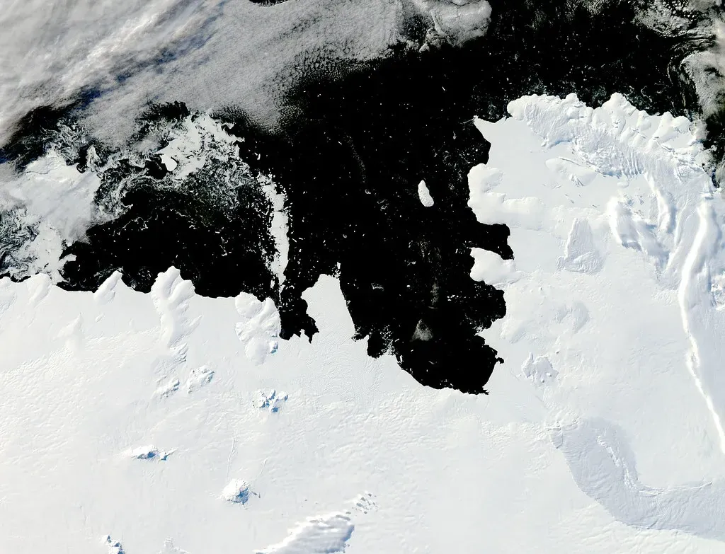
Kids in the ’80s built snowmen that survived for weeks, not days. Snowpack in much of the northern and midwestern United States regularly lasted from December through March, giving winter a kind of visual consistency that felt permanent at the time. Ski resorts opened earlier and closed later, and backyard sledding hills stayed usable well past the holidays.
Today, warmer average winter temperatures mean snow melts and refreezes more often, creating icy patches rather than the deep, lasting base many remember. Research from the National Oceanic and Atmospheric Administration has tracked a general decline in snow cover duration across large parts of the country since the 1980s. What used to be an entire season of snow now often arrives in shorter, more scattered bursts.
2. Predictable summer humidity that rolled in like clockwork
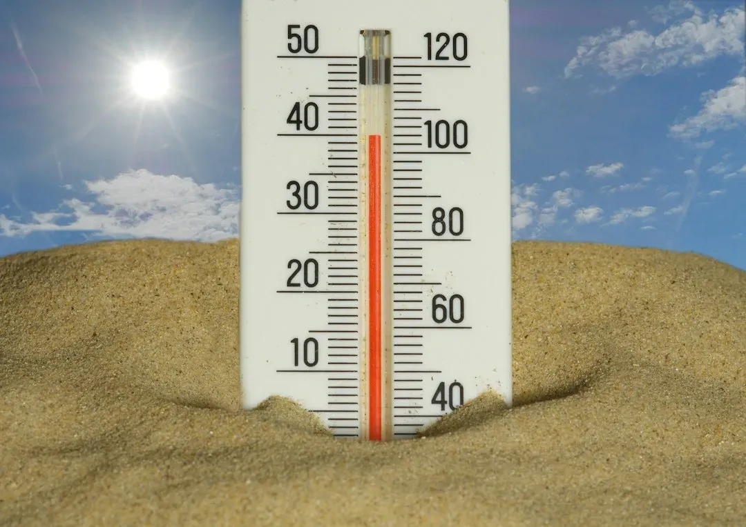
Summers in the ’80s had a rhythm to them. Humidity would settle in by early June and stay fairly consistent through August, giving people a reliable sense of what to expect when they stepped outside. It was uncomfortable, sure, but it followed a pattern that didn’t swing wildly from week to week.
Modern summers tend to be more erratic, with humidity spiking and dropping in shorter cycles tied to shifting jet stream behavior. Atmospheric scientists have noted that a warmer atmosphere holds more moisture, which can lead to sharper, less predictable humidity swings rather than the steady summer haze many remember. The old version felt almost boring by comparison, which in hindsight was kind of nice.
3. Thunderstorms that arrived right on schedule in the afternoon
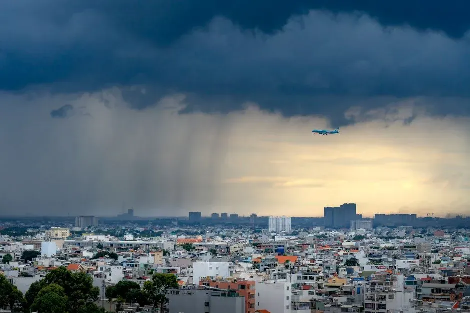
Anyone who grew up in the Midwest or the South in the ’80s remembers the almost clockwork nature of summer thunderstorms. They’d roll in around three or four in the afternoon, drop heavy rain for twenty minutes, and clear out by dinner. It was so consistent that people planned outdoor activities around it without much anxiety.
That kind of dependable timing has become less common as storm systems now behave more erratically, sometimes stalling for hours or skipping entire regions unexpectedly. Some climate researchers link this to changes in atmospheric circulation patterns that have grown more variable since the late twentieth century. The predictability itself, not just the rain, is what feels like it’s gone missing.
4. Cold snaps that lasted for weeks, not days

An ’80s cold snap wasn’t a two-day blip. When arctic air moved in, it often settled over the northern and central United States for a week or two straight, keeping temperatures well below freezing for extended stretches. Frozen pipes and closed schools weren’t rare occurrences; they were just part of a normal winter.
Long-duration cold spells like that have become less frequent as average winter temperatures have crept upward over the decades. When arctic outbreaks do occur now, they tend to be sharper but shorter, breaking after a few days rather than lingering for weeks. The overall winter climate has warmed enough that sustained deep freezes are now considered notable rather than routine.
5. Reliable lake-effect snow that buried entire towns
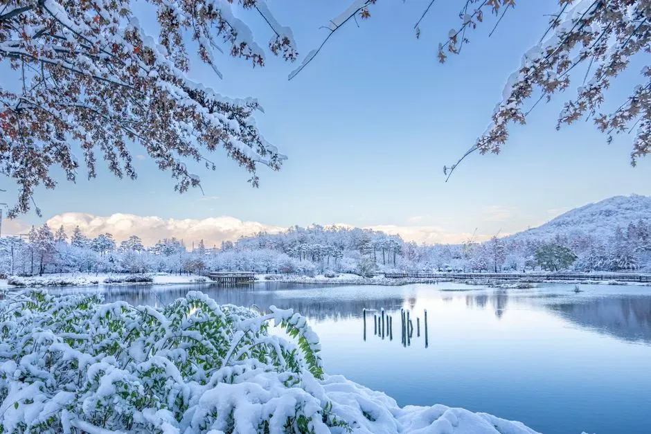
Communities near the Great Lakes in the ’80s often measured snowfall in feet, not inches, thanks to consistent lake-effect systems. Towns like Buffalo and Erie built their entire winter culture around massive, near-annual snow events that shut down roads and schools for days. It was disruptive, but also strangely predictable in its intensity and timing.
Lake-effect snow still happens today, but warmer lake surface temperatures have altered how and when it forms, sometimes delaying the onset of major snow events into later winter. Some seasons now see less overall accumulation because the lakes take longer to reach the temperature threshold needed to trigger heavy snow bands. The extreme totals still occur, but the timing has become noticeably less consistent than it was decades ago.
6. Hurricane seasons that felt less crowded
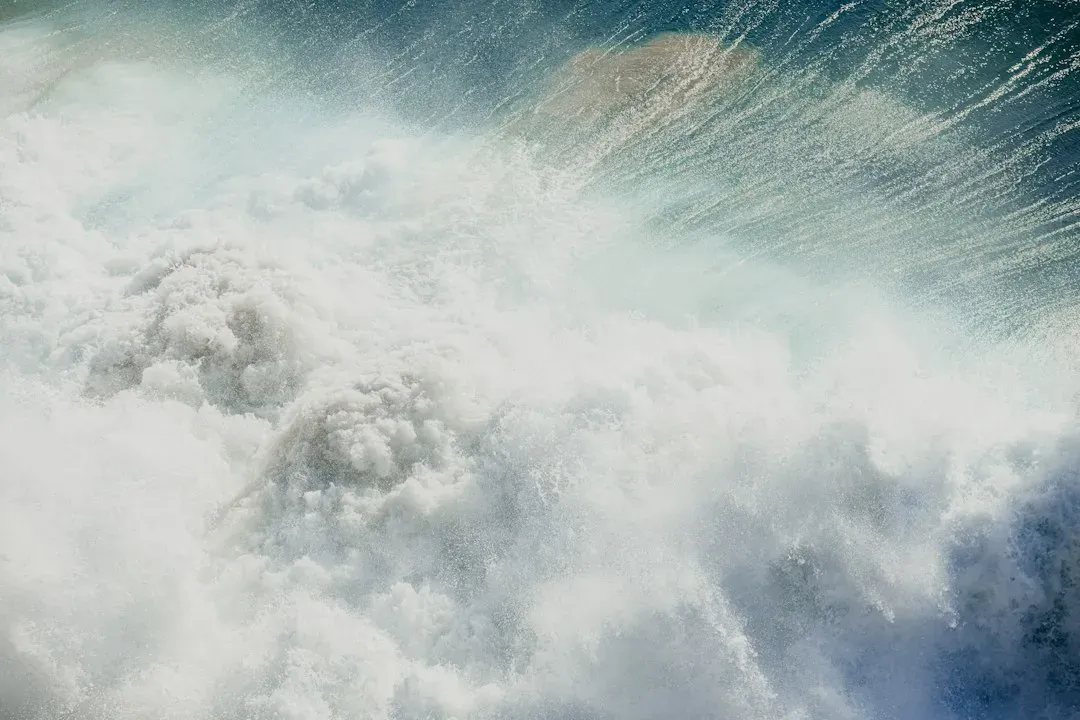
The 1980s certainly had major hurricanes, but the overall pace of named storms felt slower compared to recent years. Fewer storms reached major hurricane status in a given season, and the Atlantic basin often had quieter stretches between systems. People paid attention to hurricane season, but it didn’t dominate the news cycle the way it often does now.
NOAA’s historical hurricane database shows that named storm counts have generally trended higher in recent decades compared to the 1980s average. Warmer ocean temperatures provide more fuel for storm formation and intensification, which has contributed to busier and sometimes more destructive seasons. The ’80s version of hurricane season, while still serious, felt comparatively calmer in retrospect.
7. Tornado outbreaks concentrated mostly in “Tornado Alley”
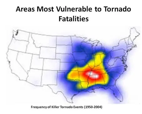
Growing up in the ’80s, tornado warnings were mostly associated with a specific stretch of the central Plains, often nicknamed Tornado Alley. States like Oklahoma, Kansas, and Texas got the bulk of attention, while other regions rarely worried about severe tornado activity. It made the threat feel geographically contained, even if it was still dangerous within that zone.
In more recent years, researchers have observed a shift in tornado activity toward parts of the Southeast and mid-South, a trend sometimes referred to as the expansion of “Dixie Alley.” Studies published in journals like Nature Scientific Reports over the past decade have pointed to this eastward shift as a measurable change from mid-twentieth-century patterns. The tidy geographic boundaries that felt normal in the ’80s don’t hold up quite the same way anymore.
8. Consistent first-frost dates you could set a calendar by

Farmers and gardeners in the ’80s could plan around fairly consistent first-frost dates each fall, often falling within a narrow window year after year. This predictability shaped everything from planting schedules to school calendars built around harvest festivals. It was one of those quiet, unremarked-upon rhythms of the season.
Longer growing seasons in recent decades have pushed first-frost dates later in many regions, according to data compiled by the USDA and various state agricultural extensions. This shift has real consequences for farming practices, pest cycles, and even allergy seasons, since a delayed frost means more time for certain plants and insects to remain active. The steady calendar-like reliability of the past has given way to something looser and less certain.
9. Nor’easters that brought heavy snow instead of heavy rain
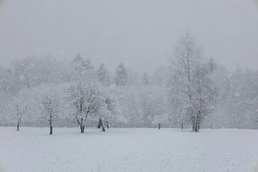
Coastal New England in the ’80s associated nor’easters almost exclusively with major snowfall events, the kind that shut down entire cities for days. These storms followed a fairly familiar template: cold air locked in place, moisture rolling up the coast, and snow piling up in predictable amounts. It made nor’easter season something people braced for in a very specific way.
Today’s nor’easters are more likely to produce a mix of snow, sleet, and rain within the same storm system, largely because average coastal temperatures have risen just enough to shift precipitation type. This has made these storms messier and, in some ways, harder to prepare for compared to the cleaner snow events of decades past. The strange result is that modern nor’easters can be more disruptive even when they produce less snow overall.
10. A more stable jet stream that kept seasons in their lanes
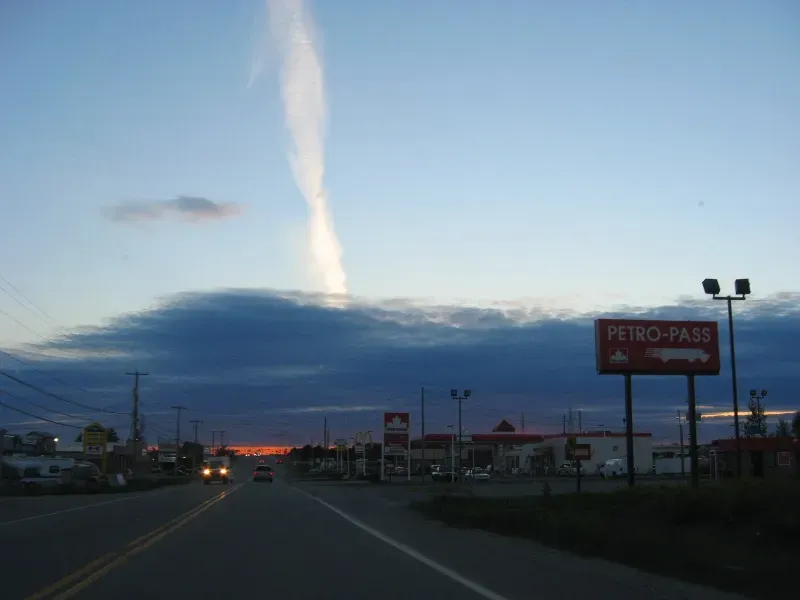
The jet stream in the 1980s tended to behave in a more consistent, wave-like pattern that kept cold air up north and warm air down south for longer stretches. This stability is part of why seasons felt more clearly defined, with less bouncing between unseasonable warmth and sudden cold. Weather forecasters relied on these patterns to make longer-range predictions with reasonable confidence.
Atmospheric researchers have documented a more erratic, wavier jet stream pattern in recent years, something often linked to Arctic warming and the loss of sea ice. A more unstable jet stream can allow cold arctic air to plunge unusually far south or let warm air surge unusually far north, breaking the old seasonal boundaries. The steady, almost boring predictability of the ’80s jet stream has essentially given way to a system that behaves less consistently overall.
11. Acid rain warnings that shaped how people talked about weather
Acid rain was a defining environmental topic of the 1980s, with news reports regularly warning about its effects on lakes, forests, and even building exteriors. It became part of how people discussed rain itself, adding a layer of environmental anxiety to something as ordinary as a rainy afternoon. Regulatory action, including the 1990 Clean Air Act amendments, eventually targeted the sulfur dioxide and nitrogen oxide emissions responsible for the problem.
Acid rain levels in the United States have dropped significantly since the 1980s, according to long-term monitoring data from the Environmental Protection Agency, thanks largely to reduced industrial emissions. While acid rain hasn’t disappeared entirely, it no longer dominates weather conversations the way it once did. It’s a rare example of a weather-related worry from the ’80s that has genuinely faded rather than shifted into something new.
Looking back at these patterns says less about nostalgia and more about how measurably different the atmosphere has become over the past several decades. Some shifts, like reduced acid rain, reflect real environmental progress, while others, like erratic jet stream behavior, point to ongoing changes still being studied. Either way, the weather that felt like background noise in childhood has turned out to be a useful record of how much the climate has actually moved.

- How and When to Watch the Orionid Meteor Shower This October - November 12, 2026
- Blue whales vanish from the Galápagos, and scientists suspect El Niño - November 11, 2026
- 8 Famous Battles That Were Decided by the Weather - November 11, 2026
