

- These 6 Americas National Parks Rank Highest for Biodiversity - September 14, 2026
- Snowfall Is Declining Across 9 Andean Mountain Ranges, Data Shows - September 14, 2026
- 7 Electrical Upgrades That Can Help Homes Handle Extreme Heat and Storms - September 14, 2026
Across more than seven thousand kilometers of the Andes, scientists using satellite records, ground stations, and decades of Landsat imagery are converging on the same conclusion: the snow that once reliably blanketed these peaks each winter is showing up later, melting sooner, and covering less ground than it used to. The pattern is not uniform from one range to the next, but the direction is consistent enough that researchers are now treating it as a defining feature of the modern Andes.
What follows is a range-by-range look at nine sections of the Andean cordillera where long-term data, published mostly between 2024 and 2026, point to measurable declines in snowfall and snow cover.
Aconcagua Catchment, Central Chile
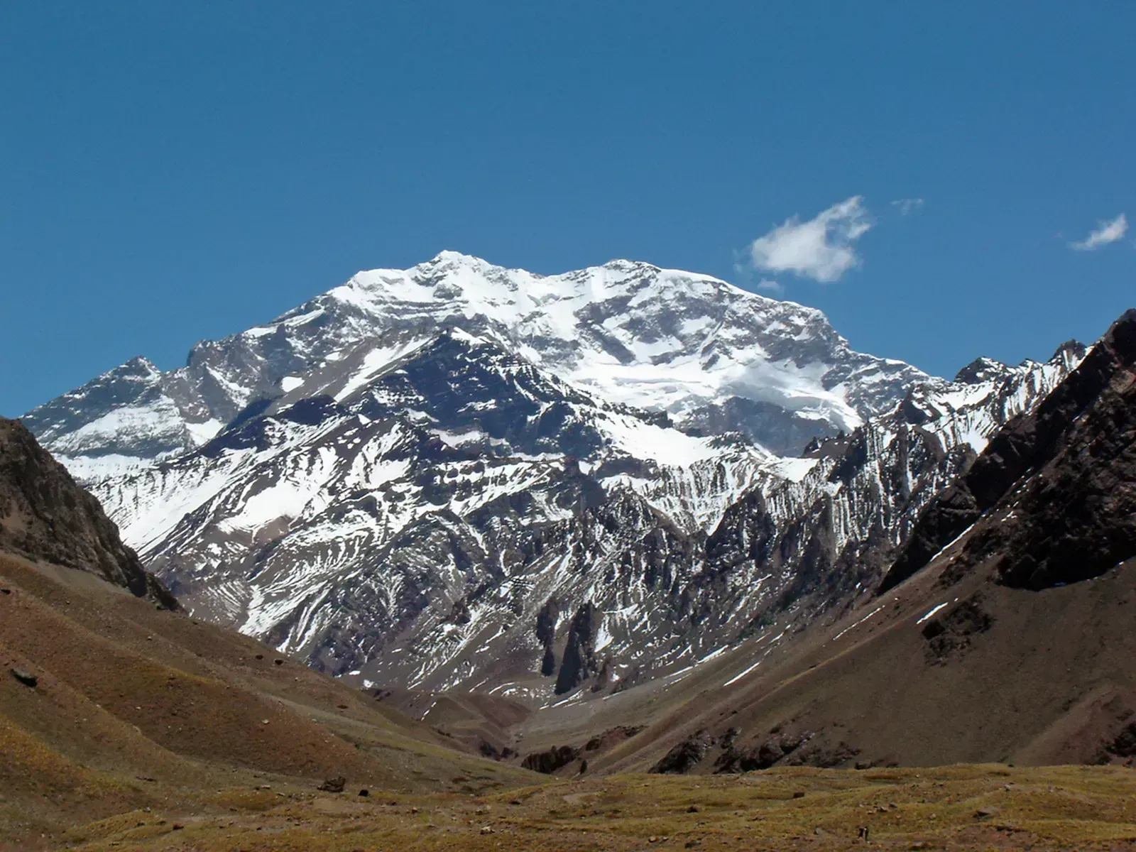
The Aconcagua basin, which supplies water to the Valparaíso metropolitan region, has one of the longest continuous snow records in South America thanks to a nearly four-decade Landsat archive. Researchers who processed the whole archive of available Landsat data between 1985 and 2024 for two catchments in the Chilean Andes, Aconcagua and Río Maipo found a clear upward shift in where the snow line sits each year.
That shift translates into fewer days of snow cover at lower elevations. The same study detected strong positive long-term SLE change rates of 11.25 m per year for the Aconcagua catchment, meaning the elevation at which snow reliably accumulates has been creeping steadily upslope for nearly forty years.
Río Maipo Basin, Santiago Region
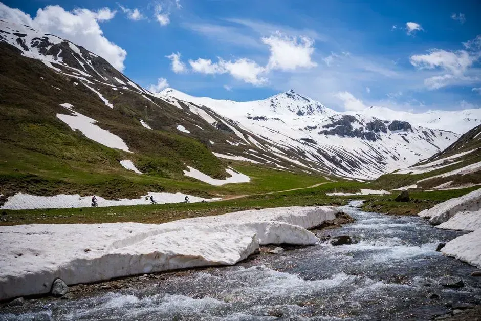
Just south of Aconcagua, the Río Maipo watershed feeds the water supply of greater Santiago, home to millions of residents. The same Landsat-based analysis found an even sharper trend here, with snow line elevation rising between 9.85 m to 15.65 m per year for the Río Maipo catchment.
Researchers behind the study project that if current trends hold, the basin could see a potential loss of snow covered area of up to 42% during summer months, with the SLE receding up to 231 m by 2050. For a region already managing tight water budgets, that kind of retreat carries real consequences for reservoir planning.
Extratropical Chilean Andes, 27 to 36 Degrees South
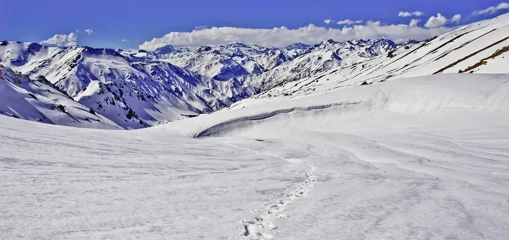
A separate analysis spanning eighteen watersheds across roughly eleven hundred kilometers of the Chilean Andes used MODIS satellite data to track snow cover extent between 2001 and 2022. The researchers analyzed changes in snow cover extent over the period 2001 to 2022 in a total of 18 watersheds spanning approximately 1,100 km across the Chilean Andes, finding that the annual snow cover extent is receding in the watersheds analyzed at an average pace of approximately 19% per decade.
That pace is roughly double what earlier studies had estimated, which the authors linked to the poleward migration of the Southern Hemisphere westerly winds. The consequences are already visible downstream, as these alarming trends have impacted meltwater runoff, resulting in historically low river streamflows during the dry season.
Dry Andes, 18 to 40 Degrees South
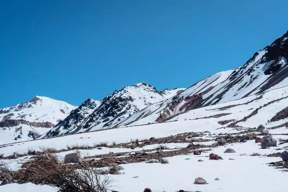
Further north, spanning a stretch that includes parts of Chile and Argentina known as the Dry Andes, an earlier but still widely cited Landsat study covering more than three decades found a comparable downward trajectory. Using imagery from 1986 through 2018 across roughly twenty-five hundred kilometers, the team reported that the dry-season snow cover extent declined across the entire study area at an average rate of about −12% per decade.
The researchers also tied much of the variability to large-scale climate patterns rather than a purely linear warming signal. They found that this decreasing trend is mainly driven by changes in the El Niño Southern Oscillation, especially at latitudes lower than 34°S, which helps explain why some years buck the overall trend even as the multi-decade direction points downward.
Cordillera Blanca and the Peruvian Andes
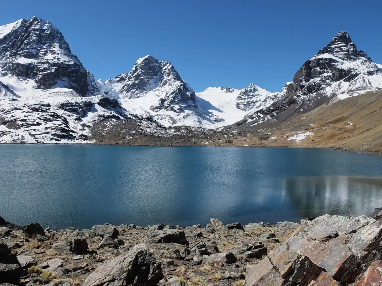
In Peru’s tropical Andes, snow behaves differently than in the mid-latitudes further south, falling and melting within the same season rather than building a lasting winter pack. A recent study of the Peruvian Andes found that snow there is often thin and short-lived, shaping how meltwater reaches rivers below.
Because snowfall in this zone rarely accumulates into a deep seasonal reserve, even modest reductions in snowfall frequency can shift runoff timing noticeably. Researchers studying the region through international mountain conferences have noted that tropical glaciers, which depend on this thin snow cover for mass balance, have experienced substantial mass loss in recent decades, a trend closely tied to the decline in snowfall feeding them.
Equatorial and Tropical Andes, Ecuador to Northern Peru
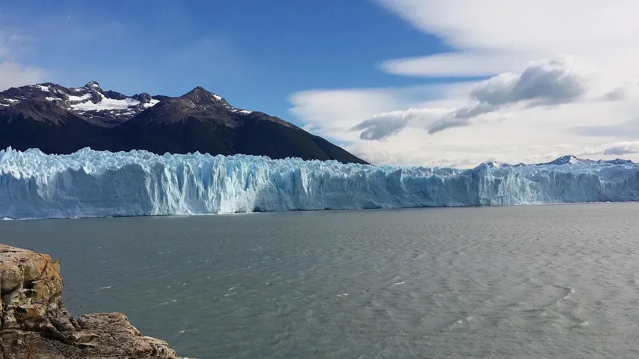
The equatorial stretch of the Andes, running from around ten degrees north to sixteen degrees south latitude, presents its own challenges for researchers because of near-constant cloud cover that limits satellite observation. Even so, the available evidence points in one direction, with studies noting a decreasing trend in recent decades, linked to shifts in precipitation and temperature patterns for glaciers across this zone.
Modeling work that attempted to bridge the observational gaps used SnowModel simulations to reconstruct snow behavior across the region. That approach produced a decline in the number of snow-covered days between 1979 and 2014, offering one of the few quantified estimates for a stretch of mountains where direct satellite monitoring remains difficult.
Southern Andes, Chile and Argentina, 21 to 54 Degrees South
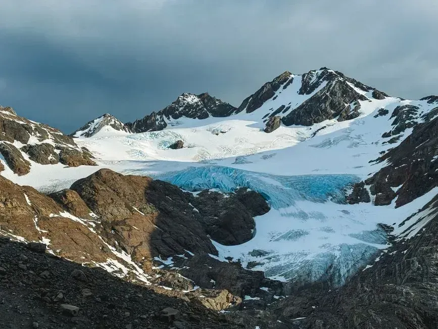
A newer dataset compiled from eighty-one ground stations across Chile and Argentina has started filling in gaps that satellite data alone could not resolve. The project noted that snowpack dynamics in the Southern Andes remain poorly quantified due to sparse and inconsistent in situ data, which is precisely why researchers built a quality-controlled record from station observations spanning 2010 to 2024.
The resulting dataset revealed spatial patterns that hadn’t been well documented before, showing a north–south increase in snow depth with nonlinear elevation patterns even as the broader long-term trend across the region continues to point toward decline. This kind of ground-truthing matters because it helps confirm whether satellite-based snow line estimates match what is actually falling and accumulating at specific elevations.
Patagonian Andes, 40 to 56 Degrees South
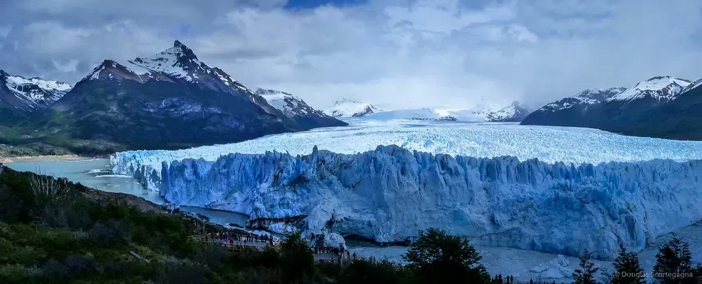
Patagonia receives far more precipitation than the drier stretches further north, which has historically buffered its glaciers and snowpack from the sharpest declines. Even so, this region accounts for 96% of the total ice loss in the Southern Andes, which has accelerated in recent decades, a signal that reduced snowfall inputs are compounding with warmer temperatures to speed up mass loss.
Because glacier runoff here functions more as a buffer during dry spells than a primary water source, researchers note that the relative contribution of glaciers to regional water supply is generally low, with glacier runoff serving as a flow buffer during dry periods rather than a major source of streamflow. Still, as snowfall inputs shrink, that buffering capacity is expected to weaken over time.
Bolivian and Wet Andes Ranges
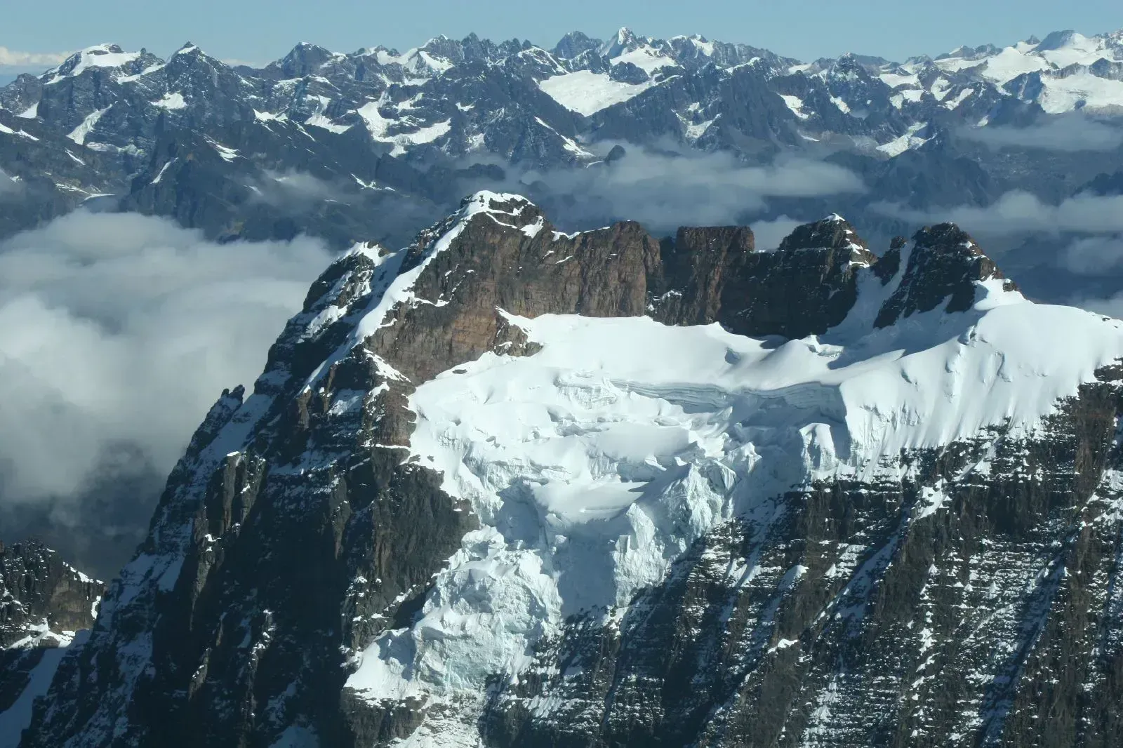
In the wetter mountain zones that feed headwater basins across Bolivia and parts of southern Chile, glaciers and snow cover play an outsized role in regional water discharge. Researchers studying these basins point out that mountains in wet regions can supply up to 20% to 50% of the total water discharge from watersheds that flow into the sea, underscoring how sensitive downstream communities are to even small shifts in snow accumulation.
Isotope-based tracing in one Chilean Wet Andes basin found that mountain glacier melt contributes up to 30% of the flow in one of the basins, highlighting its importance despite its limited coverage. The same research warns that ongoing changes will compound existing pressures, since the decrease in the extension of glaciers and the negative trend in precipitation will reduce the downstream water availability.
The Broader Extratropical and Elevation-Dependent Signal
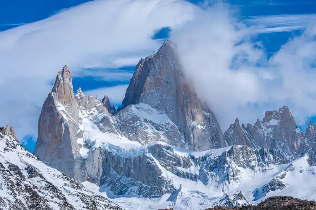
Pulling back from individual basins, a 2025 study combining reanalysis data with satellite records across the wider Andes found a consistent link between rising temperatures and shrinking snow cover, particularly in the extratropical zone between twenty-five and thirty-eight degrees south. The researchers emphasized that the extratropical Southern Andes, whose snow-dominated mountain hydrology is uniquely vulnerable, is confirmed by in situ discharge gauges for sampled catchments, adding weight to satellite-only findings.
Notably, the study found that trend strength has intensified in recent decades compared with older records, since trends with greater magnitudes for the modern period, 2003 to 2022/3, compared to the historical climatology, 1950 to 2000, demand greater attention with significant implications for future water management across the Andes. That acceleration is part of why researchers describe the current period as distinct from earlier, more ambiguous decades of Andean snow data.
What the Decline Means Going Forward
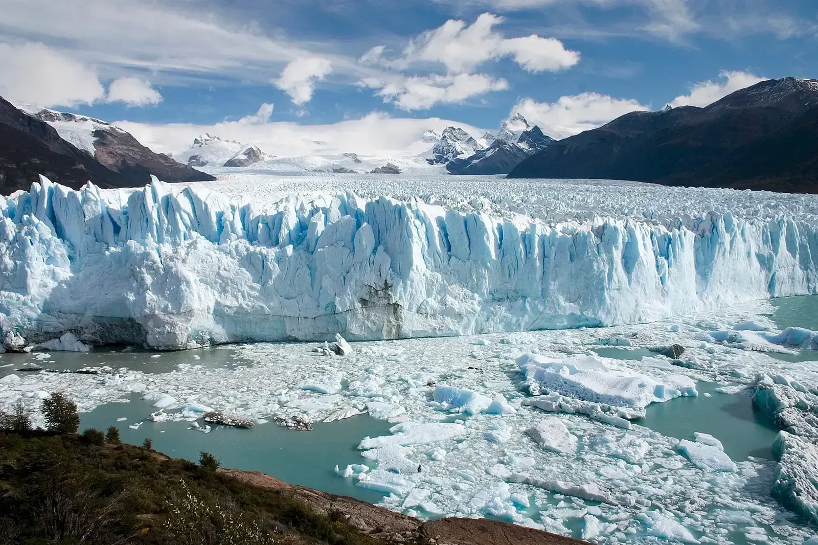
Taken together, these ten regions illustrate a cordillera-wide pattern rather than a series of isolated local problems. A global synthesis of persistent mountain snow cover found that the Andes belong to a group of ranges worldwide, alongside the Alps, the western United States, and High Mountain Asia, that are prone to declining snow cover, reinforcing that what is happening in South America mirrors trends observed elsewhere.
The stakes are tied directly to the roughly ninety million people across the continent who depend on Andean water systems, since scientists have warned that the shrinking glaciers of the Andes threaten the water supply of 90 million people on the South American continent. As snowfall inputs continue to shift, water managers, farmers, and hydropower operators across Chile, Argentina, Peru, Bolivia, Ecuador, and Colombia are increasingly working with a mountain water source that behaves differently than it did even twenty years ago.
