
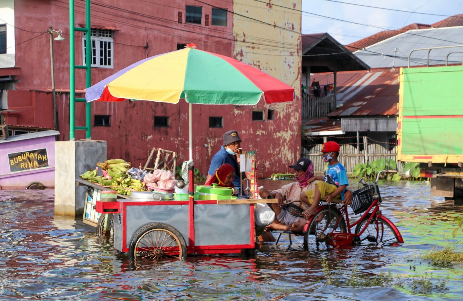
Jakarta, Indonesia
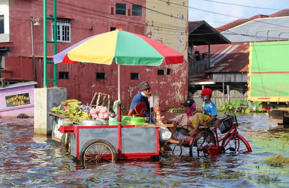
Jakarta shows up first on almost every list of vulnerable coastal cities, and for good reason. Due to rising sea levels and the overextraction of groundwater, the capital is considered one of the world’s fastest sinking cities. In parts of the city, Jakarta is plunging by up to 25 centimeters annually, a rate roughly 100 times faster than New York.
The scale of exposure is staggering. Jakarta, the capital of Indonesia, is home to 10 million people, and almost half the city sits below sea level, with some researchers believing parts of it could be entirely submerged by 2050. Other estimates put the figure even higher, suggesting around 40% of the city is below sea level, with nearly half of the city becoming uninhabitable by 2050. The situation has grown severe enough that the Indonesian government has proposed the capital be moved from Jakarta to a new city in Kalimantan in Borneo.
Ho Chi Minh City, Vietnam
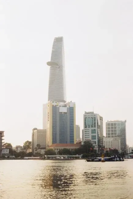
Vietnam’s largest city faces a version of the same problem, and local officials have started saying so plainly. As one recent analysis put it, Ho Chi Minh City can disappear by seawater by 2050. The city sits low to begin with, since 40 to 45% of the city stands less than a meter above sea level, and land subsidence due to rapid groundwater extraction is making this worse.
Government projections back up the alarm. HCMC is expected to be among the worst affected localities, with almost 18% of its area at risk of flooding. Subsidence is compounding the pressure too, since subsidence rates in commercial hubs reach approximately 7 to 8 centimeters per year, about twice the rate of sea-level rise, which stands at roughly 1 centimeter annually. City authorities have acknowledged the severity, noting that the city ranks in the second-highest risk tier among the world’s fastest sinking cities.
Bangkok, Thailand
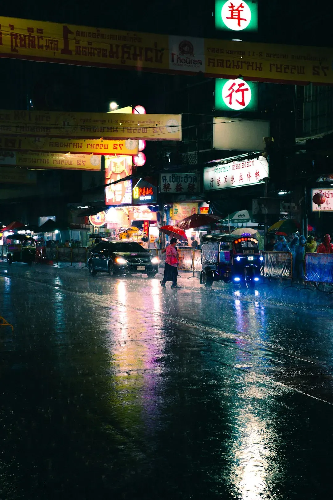
Bangkok has spent decades fighting a losing battle against soft ground. Thailand’s vibrant capital sits barely above sea level, making it extremely vulnerable to rising waters, and it’s built on soft clay soil that’s gradually compressing. The good news is that the trend has slowed somewhat after policy changes, since subsidence rates in Bangkok fell from 12 centimeters a year in the 1980s to 1 to 2 centimeters a year after regulating groundwater extraction.
Even with that improvement, the cumulative damage from earlier decades has already reshaped the city’s baseline elevation. Historical records show parts of Tokyo sank by 4 metres during the 20th century, with 2 metres or more of sinking reported in Shanghai, Bangkok, and New Orleans. That legacy sinking means Bangkok starts from a lower point than it otherwise would, so the city experiences regular flooding during monsoon season, giving residents a preview of what permanent inundation might look like.
New Orleans, Louisiana
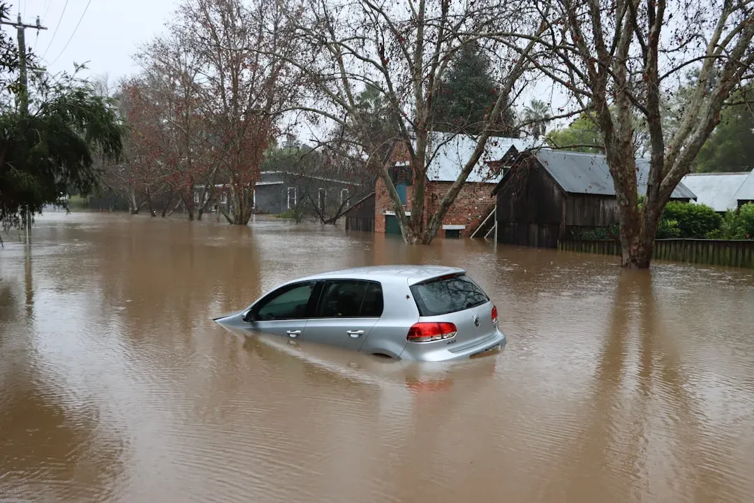
New Orleans has long been a textbook case for what happens when a city sits below the water around it. Researchers studying coastal subsidence describe it as one of the clearest examples on Earth, since cities like New Orleans and Jakarta are experiencing very rapid sea level rise relative to their coastlines, as the land itself is sinking while the water is rising. A 2024 Nature study confirmed the city remains among the most exposed in the country, noting that large cities surrounded by water, such as Boston, New Orleans and San Francisco, will be among the regions that could experience flooding in the near future due to land elevation changes combined with sea level rise of about 4 millimeters per year.
The human cost of this sinking is not distributed evenly across the city. Researchers behind that study found that people identifying as Black or African American account for more than half of those who will be exposed by 2050, despite only representing about 29% of the region’s total population. One of the study’s authors also pointed out that communities like New Orleans and Port Arthur generally have lower median property values, which speaks to a greater presence of lower income residents in these exposed areas.
Miami, Florida
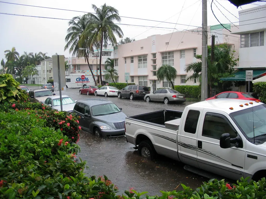
Miami rounds out the list, and it earned that spot through hard numbers rather than speculation. The same 2024 Nature study covering 32 major US coastal cities found that Miami showed the greatest share of exposure to flooding, with up to 122,000 people and up to 81,000 properties that could be at risk of flooding by 2050. That risk is not hypothetical. Parts of low-lying Florida, such as Miami, are already dealing with sunny day flooding that happens as a result of high tide.
Sea level rise along the broader US coastline compounds the problem for a city built on porous limestone, where seawalls do little to stop water seeping up from below. The same research team projected that the sea level along the US coastlines is projected to rise by 0.25 to 0.3 meters by 2050, increasing the probability of more destructive flooding and inundation in major cities. For a metro area built barely above the waterline, that margin leaves very little room for error.
What This Means Going Forward
None of these five cities are guaranteed to lose their fight against the water. Engineering fixes exist, and researchers studying the problem have said as much, noting that land subsidence can be mitigated fairly rapidly using engineering and nature-based solutions that we already have in our toolbox. Sea walls, groundwater regulation, and elevated infrastructure have already slowed the sinking in places like Bangkok, proving the trend is not entirely fixed.
What is clear is that the 2050 timeline is close enough that planning decisions being made right now will determine how much of these cities remains dry land. The cities on this list share a pattern: low elevation, heavy reliance on groundwater, and rapid urban growth that outpaced the infrastructure meant to protect it. Whether that pattern gets rewritten in the next two decades depends less on the ocean and more on what these cities choose to do about the ground beneath them.

- Crows Remembering Human Faces for Decades – 6 Bird Behaviors Far Smarter Than We Knew - November 15, 2026
- 8 Things Astronauts Do on Their First Day in Orbit That Rookies Find Strange - November 15, 2026
- 11 Everyday Routines That Are Completely Normal on the Space Station but Baffle Everyone on Earth - November 15, 2026
