
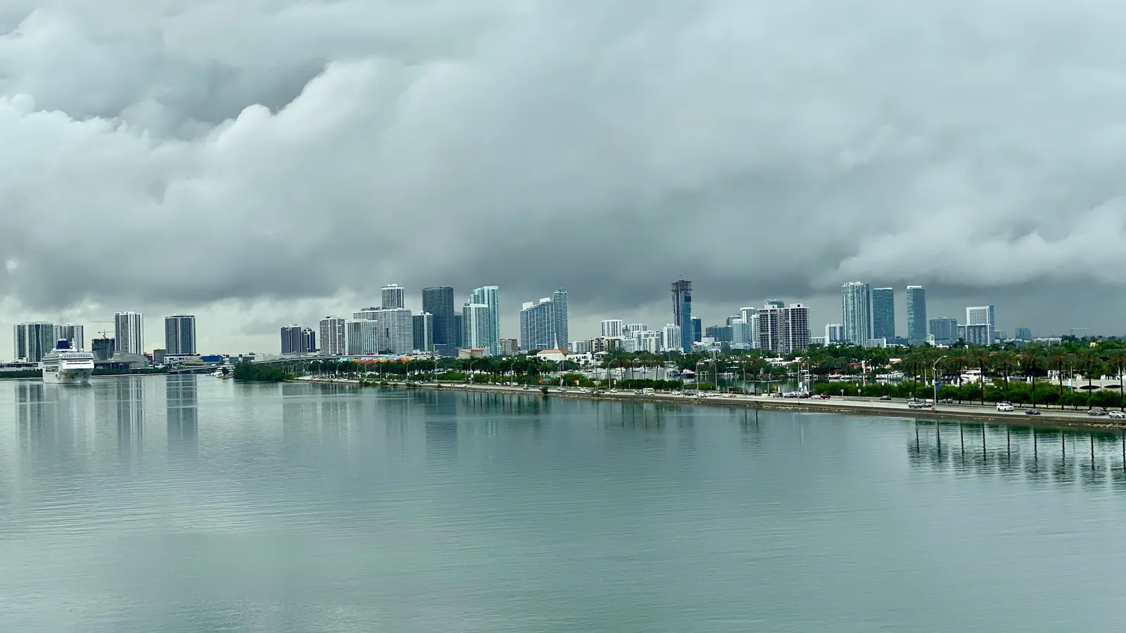
Jakarta, Indonesia: the fastest sinking capital on Earth
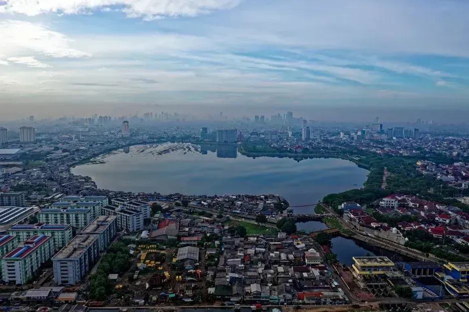
Jakarta shows up on nearly every list of vulnerable coastal cities, and for good reason. A study published in Nature Communications found that parts of Jakarta are subsiding at a rate of up to 10 inches per year, and combined with rising sea levels, the city sits on the brink of disaster. The problem is not distant water levels alone but the ground itself giving way beneath the city.
The combination of rising waters and sinking land means Jakarta will likely be partly submerged by 2050. The situation is serious enough that the Indonesian government has considered relocating the capital to Borneo, a move that underscores the severity of the situation. Northern districts near the port, where subsidence has been most severe for decades, are expected to be among the first areas permanently affected.
Ho Chi Minh City, Vietnam: a delta under pressure
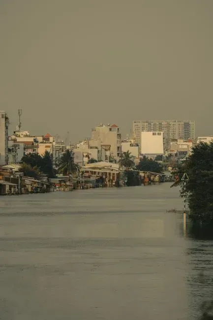
Vietnam’s largest city sits low against the Saigon River, and the numbers reflect that exposure. Forty to forty five percent of the city stands less than a meter above sea level, and land subsidence due to rapid groundwater extraction is making this worse. Researchers estimate the ground beneath parts of the city is sinking at an annual speed of 2 to 5 centimeters, a pace that outstrips the sea level rise itself in some districts.
By mid-century, the outlook does not improve much. Sea levels are projected to rise by around 33 centimeters by 2050, with the city expected to be among the worst affected localities, with almost 18 percent of its area at risk of flooding. Much of that exposure falls on the Can Gio coastal district, where wetlands that once buffered the city have largely disappeared.
Bangkok, Thailand: sinking beneath its own weight
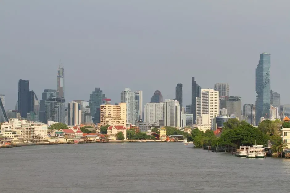
Bangkok’s flooding problem is less about the ocean rising and more about the city dropping toward it. Bangkok is sinking at a rate of more than one centimeter a year and could be below sea level by 2030, according to reporting from The Guardian. Built largely on soft clay, the Thai capital has spent decades pumping groundwater in ways that accelerate the settling.
Government advisers have not shied away from blunt warnings either. The Thai National Reform Council has warned that Bangkok could get inundated in less than 15 years. Canals that once defined the city’s character now serve as an early warning system, filling faster with every rainy season.
Shanghai, China: a megacity built on soft ground
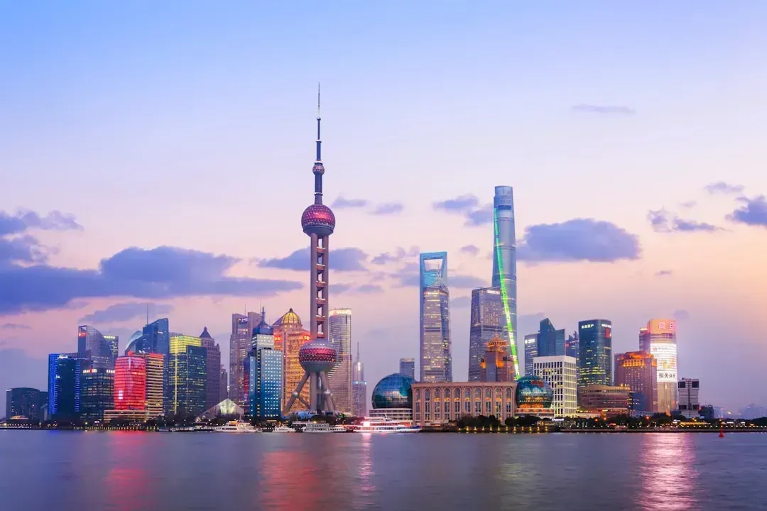
Shanghai’s exposure comes from decades of geology working against it. Between 1921 and 2007, Shanghai’s land sank at an average rate of 22.94 millimeters per year, leading to billions of euros in economic losses and widespread infrastructure damage. That legacy of subsidence, layered on top of ordinary sea level rise, leaves the delta city with little margin for error.
Looking ahead to 2050, the projections are specific. The relative sea level is expected to rise by 45 to 50 centimeters by 2050, and modeling suggests the frequency of today’s 10 and 100 year floods could double by 2030, becoming three to five times more common by 2050. With more than sixty million people living across the Yangtze Delta region, the stakes for Shanghai’s flood defenses are enormous.
Miami, Florida: sunny day flooding becomes the norm
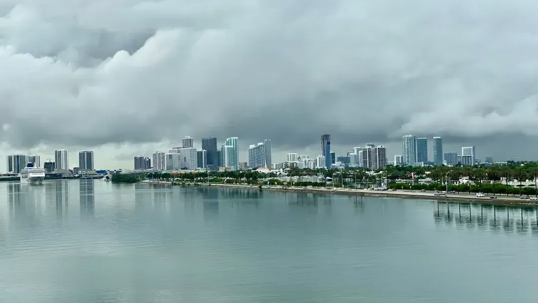
Miami’s challenge is written into its elevation. With an average elevation of just six feet above sea level, Miami is acutely susceptible to sea level rise and storm surges. The city already experiences flooding on clear days when high tides alone push water into streets, a phenomenon locals have grown used to describing almost casually.
National projections back up that local experience. NOAA’s latest projections show sea levels along U.S. coastlines are projected to rise, on average, around 10 to 12 inches by 2050. In South Florida’s porous limestone bedrock, sea walls and pumps only go so far, since water can simply rise up from underneath.
New Orleans, Louisiana: below sea level and losing more coast
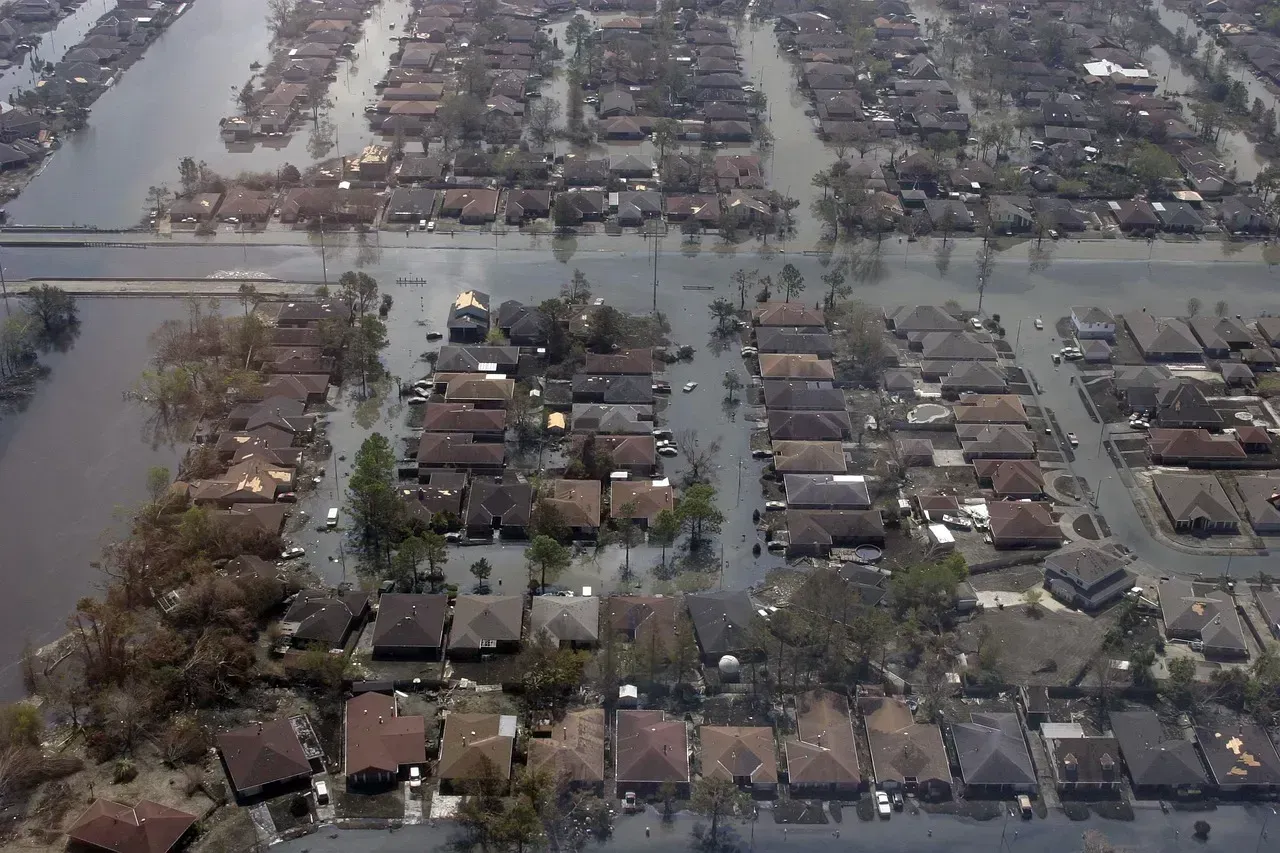
New Orleans has long lived below the surrounding water line, protected by an intricate system of levees and pumps. The city sits in a bowl, with much of it already below sea level, making it incredibly vulnerable to storm surges and rising seas. Parts of the surrounding delta are sinking even faster than the city itself.
The wider Louisiana coastline tells an even starker story. Louisiana could lose up to another 800 square miles of land by 2050, according to data the state’s scientists use for their coastal master plan. That vanishing wetland buffer is exactly what once protected New Orleans from the worst of Gulf storm surges.
Lagos, Nigeria: West Africa’s most exposed megacity
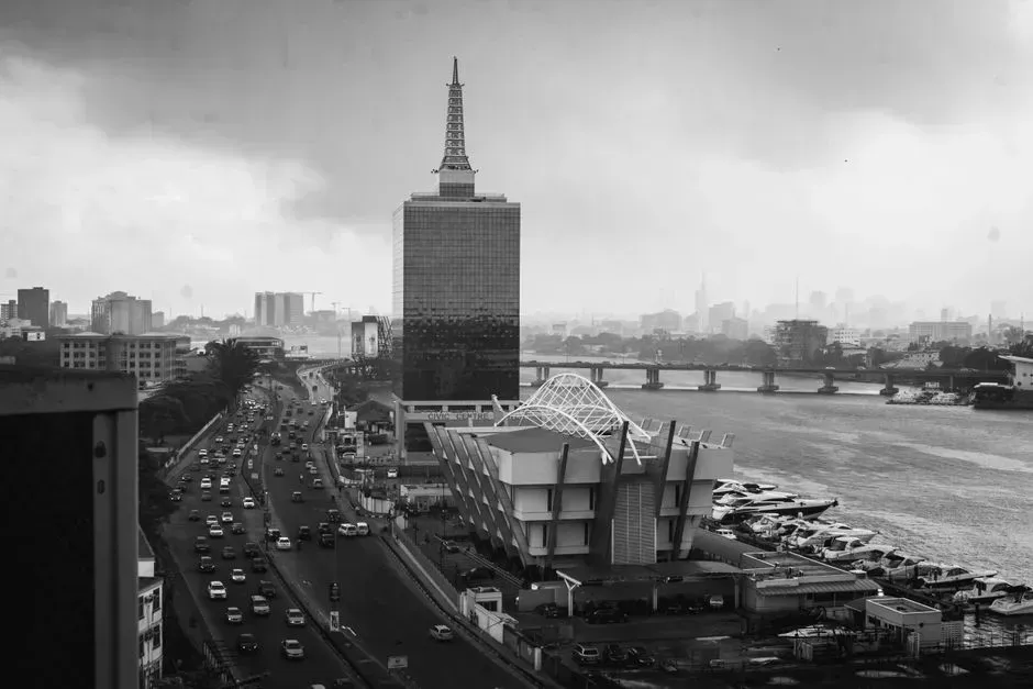
Lagos sits on Nigeria’s Atlantic coast, and its rapid growth has outpaced its flood defenses. A study led by the Institute of Development Studies noted that sea level rise associated with climate change, potentially reaching 59 centimeters by 2100, is likely to worsen coastal inundation and seawater intrusion in Lagos. The city’s low-lying lagoon geography leaves little natural elevation to fall back on.
Subsidence compounds the risk across the region, not just in Lagos itself. Land subsidence along the coast of Africa comes faster than sea level rise in many places, with cities such as Lagos, Nigeria, and Alexandria, Egypt sinking at roughly 10 millimeters per year, twice the global average. With millions of residents concentrated near the waterfront, even modest flooding events tend to affect a large share of the population.
Venice, Italy: a slow battle against the lagoon
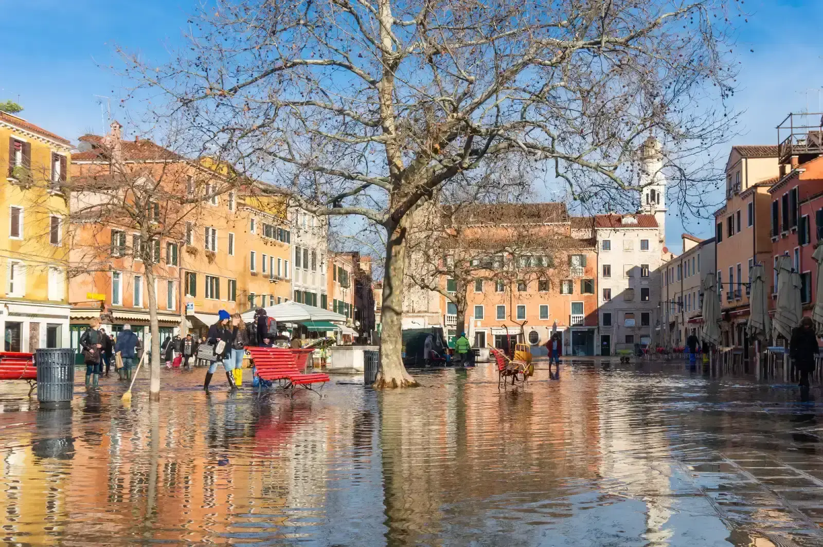
Venice has always had a complicated relationship with water, but that relationship has grown more strained. The city sits on wooden pilings driven into a lagoon centuries ago, and those foundations are slowly sinking while seas rise, creating a crisis for one of the world’s most treasured cities. High water events, known locally as acqua alta, arrive with greater frequency than they did a generation ago.
Italy’s response has been significant but not necessarily sufficient. The country installed a massive barrier system called MOSE to protect the lagoon, though many experts doubt it will be enough beyond 2050. The barrier can hold back a single storm surge, but it was never designed to counter a permanently higher baseline sea level.
Alexandria, Egypt: history at the water’s edge
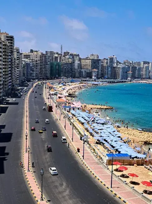
Alexandria’s coastal position has made it vulnerable for centuries, and modern climate pressures are adding to that history. Rising Mediterranean waters combined with land subsidence threaten to flood areas where millions of Egyptians live and work, with the city’s famous Corniche waterfront and historic districts sitting in particularly vulnerable zones. Some of the same subsidence rates recorded in Lagos apply here as well, given the shared geological pressures along parts of the African coastline.
Researchers who track global flood risk have flagged Alexandria specifically as a hotspot. A study by risk consultancy Verisk Maplecroft found that Dubai, Alexandria, and New York feature among cities facing the highest sea level rise exposure through the century. Given the density of ancient and modern infrastructure packed along the waterfront, the practical costs of adaptation are considerable.
Mumbai, India: South Asia’s financial hub at risk
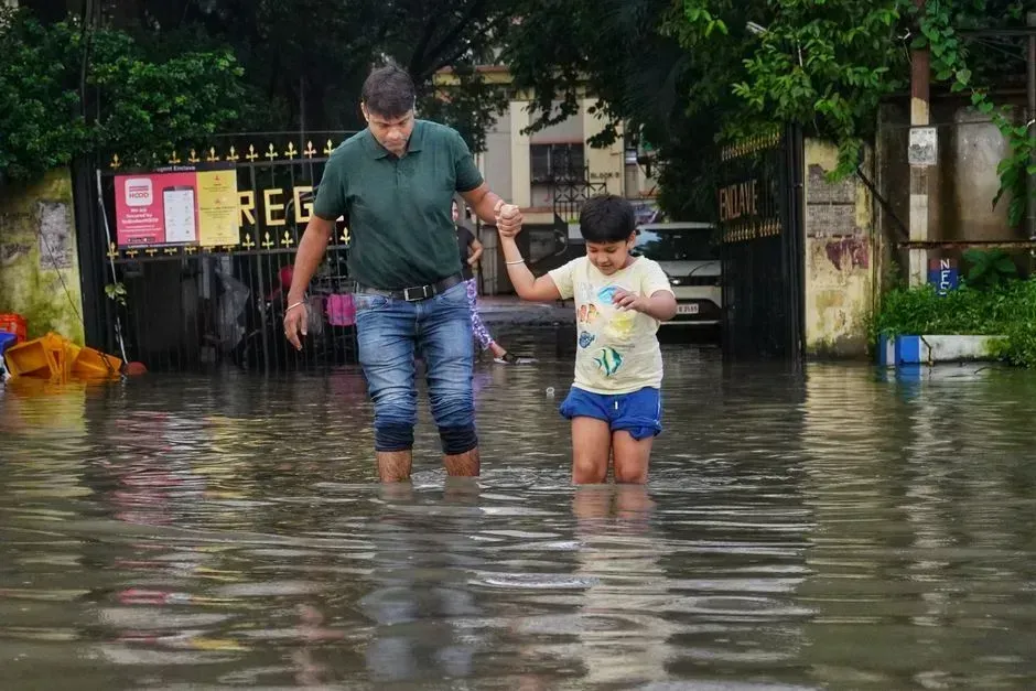
Mumbai’s exposure has drawn particular attention from researchers who study coastal flooding at a global scale. Among the coastal cities under threat is India’s financial capital Mumbai, where new projections show most of the city, especially the southern part, is at risk of going underwater, according to reporting in The New York Times. That southern peninsula includes some of the city’s densest financial and residential districts.
The broader regional flooding picture adds more urgency. A 2020 McKinsey India report predicted the intensity of flash floods will increase by 25 percent by 2050, and a half meter rise in sea level will affect two to three million people living within one kilometer of the coast. For a city built largely on reclaimed land, that combination of storm intensity and rising baseline water levels leaves few easy fixes.
The bigger picture behind the map
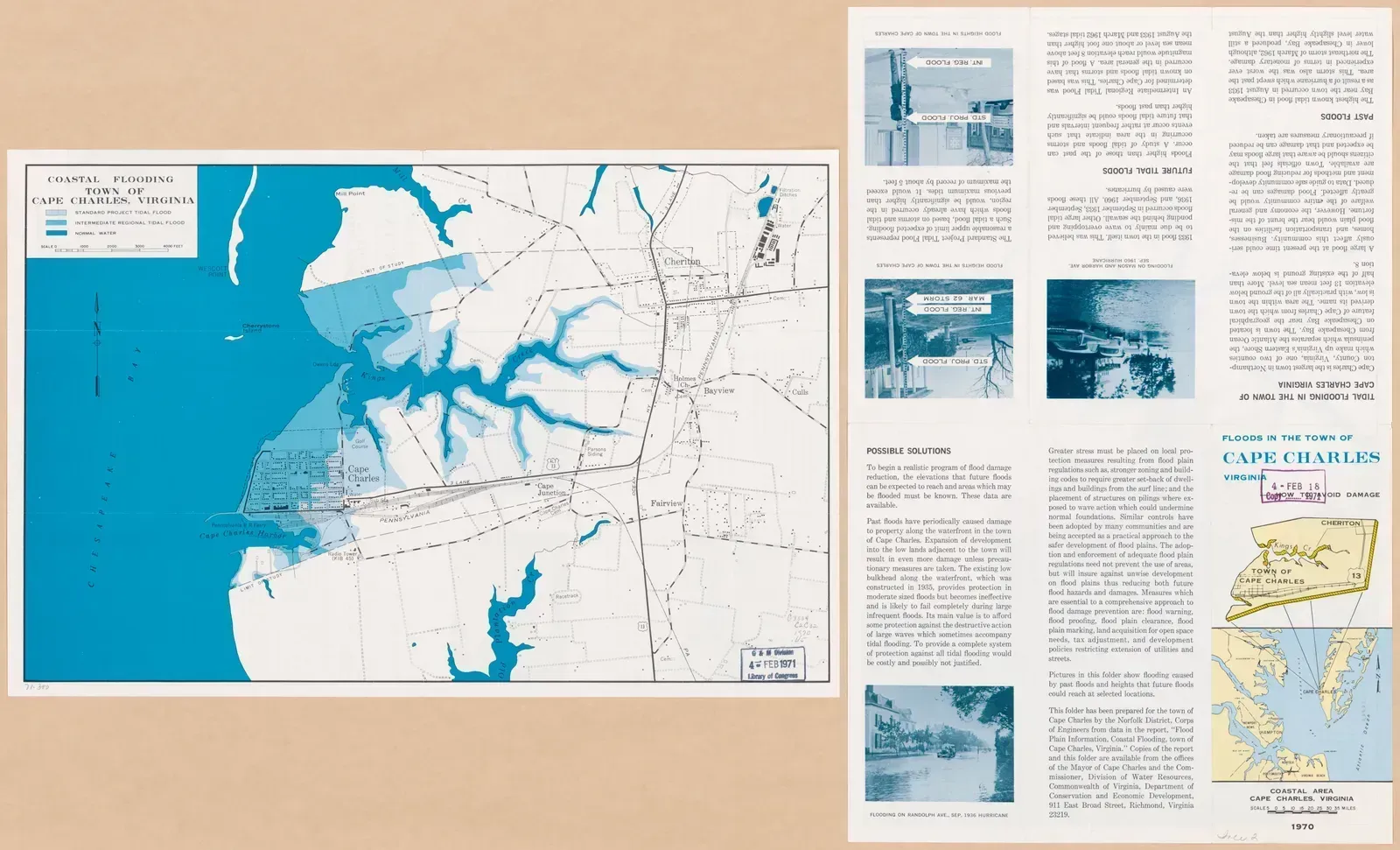
Taken together, these ten cities illustrate two overlapping problems rather than one. Some, like Miami and Venice, face a relatively straightforward rise in ocean levels pressing against fixed coastlines. Others, like Jakarta, Bangkok, and Ho Chi Minh City, are sinking under their own weight through groundwater extraction and soft soil, which makes the effective rate of sea level rise far worse than global averages suggest. Across research from Climate Central and the scientific literature, the human scale of this problem keeps showing up in similar numbers. Research from Climate Central suggests that more than 300 million people could be living in areas exposed to coastal flooding by mid century under current trajectories. The maps will keep being redrawn as new elevation data and subsidence measurements come in, but the underlying trend across nearly every coastal city studied so far points in the same direction.

- The Hidden Reason Heat Waves Are Lingering Longer in Cities, According to Urban Climatologists - August 20, 2026
- This Map Shows Which Coastal Cities Will Lose the Most Land by 2050 - August 20, 2026
- The Hidden Reason Power Outages Are Increasing in the Southeast, According to Grid Engineers - August 19, 2026
