

- Why Meteorologists Are Redrawing the Maps for Winter Superstorms - August 20, 2026
- Why the Next Major Blizzard Is Forecast Sooner Than History Predicts – And Where It Will Hit - August 19, 2026
- Why the Next Extreme Heat Wave Is Expected Sooner Than Usual – And Where It Will Hit First - August 19, 2026
Something has changed about winter. Not just the temperatures, not just the snowfall totals, but the fundamental behavior of the most extreme storms themselves. Over the past several years, scientists and forecasters have quietly been updating the frameworks they use to predict when, where, and how hard winter superstorms will strike – and the revisions are significant.
The old maps, the ones that categorized storm risk by region and season based on decades of historical averages, are increasingly unreliable guides. A warming planet has scrambled the atmospheric dynamics that meteorologists once thought they understood well. The result is a forecasting community working harder and faster than ever to catch up.
The Polar Vortex Is No Longer Playing by the Old Rules
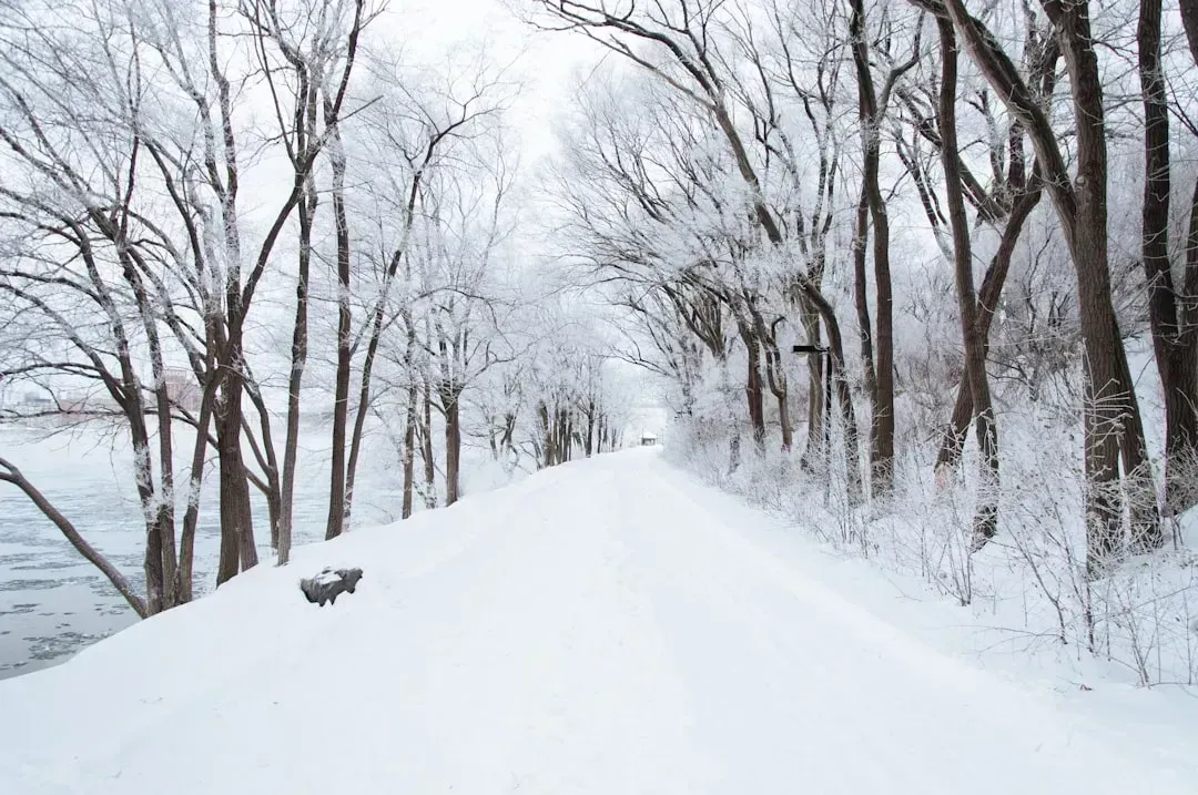
Usually, very cold air is contained in the Earth’s polar regions by the jet stream, a strong river of air high in the atmosphere. The jet stream periodically gets weak and wavy, and when that happens, very cold air moves south in a so-called polar vortex. That part, forecasters have known for a while. What’s changing is how often and how violently this process is now unfolding.
Warmer Arctic temperatures and low sea ice can weaken or elongate the vortex, increasing its instability and the likelihood of severe cold outbreaks. While some years see a weaker, more wavy vortex, other years feature a strong, compact circulation that keeps cold air confined. Climate models suggest that, overall, polar vortex events may become more erratic, with fewer but more intense disruptions affecting winter weather. That unpredictability is exactly what makes the old risk maps obsolete.
Arctic Amplification Is Reshaping the Entire Playing Field
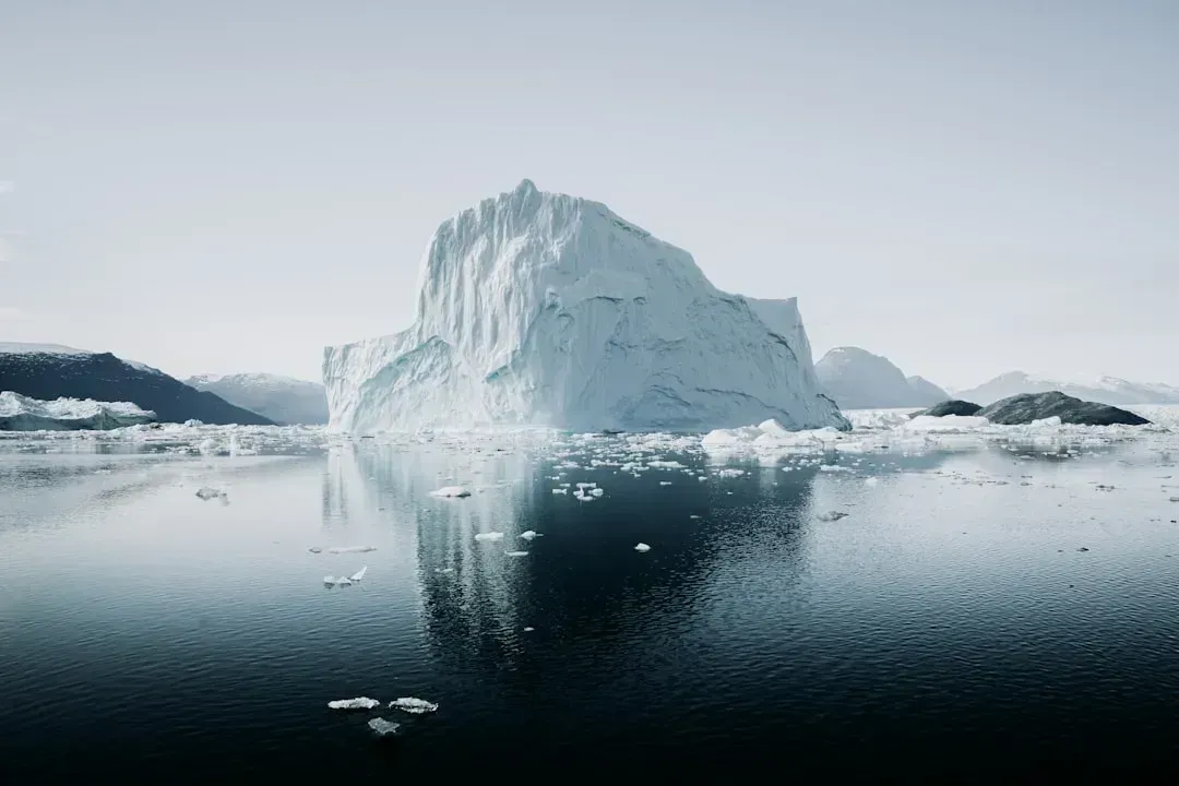
One of the clearest signals of climate change is that the Arctic is warming faster than the rest of the planet, a phenomenon known as Arctic amplification. As sea ice retreats, darker ocean and land surfaces are exposed, which absorb more sunlight and heat up even more quickly. That extra heat can alter atmospheric circulation patterns over the polar regions.
Rapid warming in the Arctic, known as Arctic Amplification, is thought to weaken the jet stream, making it more “wavy,” which allows the polar vortex to wobble or split more easily, sending arctic air much further south than it used to go. Research published in the journal Science presented evidence for an increase in polar vortex stretching events during the era of Arctic amplification. Regions that rarely appeared on winter storm risk maps are now regularly in the discussion.
Sudden Stratospheric Warming Events: The Hidden Trigger
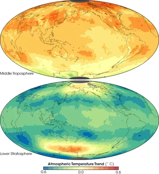
Sudden stratospheric warming events occur when large-scale atmospheric waves generated in the troposphere propagate upward into the stratosphere and disrupt the normal circulation of the polar vortex. These events are not new, but scientists are paying much closer attention to them now because of how dramatically they can reorganize surface weather weeks later.
Although sudden stratospheric warming occurs high in the atmosphere, such disruptions can sometimes propagate downward and influence surface weather patterns over the following one to three weeks, increasing the likelihood of a more amplified jet stream and episodic cold air outbreaks. Stratospheric anomalies can take ten to twenty days to impact the surface, which is both a challenge and an opportunity for forecasters trying to extend their lead time.
Warmer Oceans Are Fueling Bigger Snowfall Totals
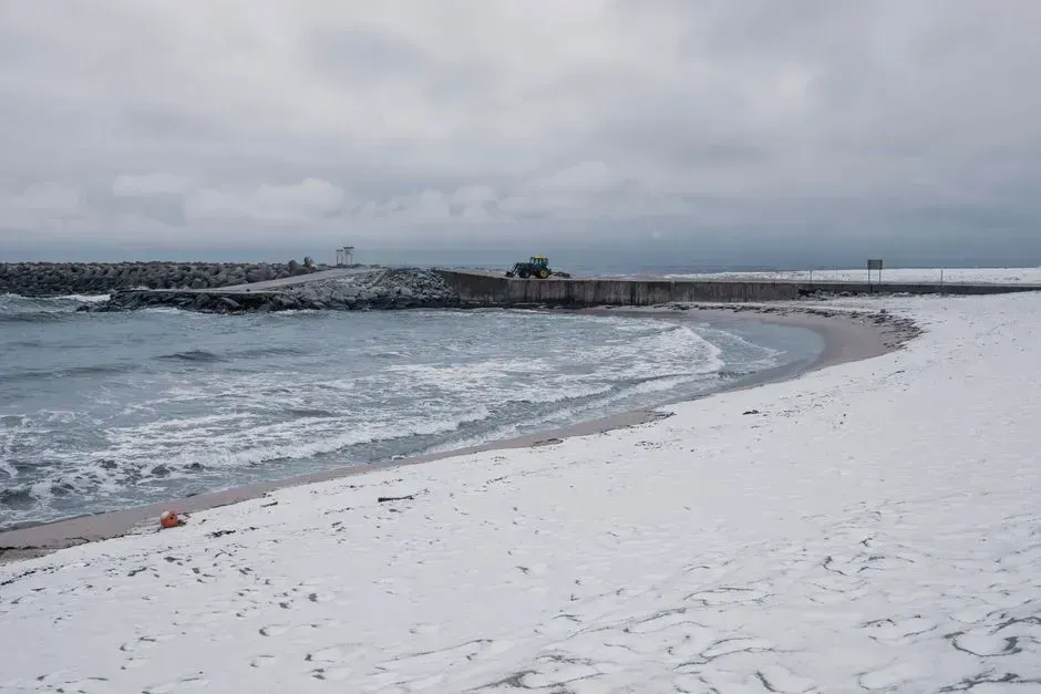
Warm air can hold more water vapor than cold air, about seven percent more for every one degree Celsius of warming. That extra moisture is like giving a storm a bigger tank of fuel. When Arctic cold collides with unusually warm, moisture-laden air flowing off the ocean, the result can be snowfall totals that defy historical precedent.
The Gulf of Mexico’s unusually warm waters in January 2026 evaporated more vapor than usual, which condensed into heavy snow and ice over the central and eastern United States. Warm ocean surfaces intensify polar vortex effects by supplying abundant moisture to incoming Arctic air, and the vortex interacts with the jet stream, amplifying its north-south waves, which directs Arctic cold over populated regions, producing blizzards, ice storms, and dangerously low temperatures.
The January 2026 Superstorm: A Case Study in Changed Dynamics
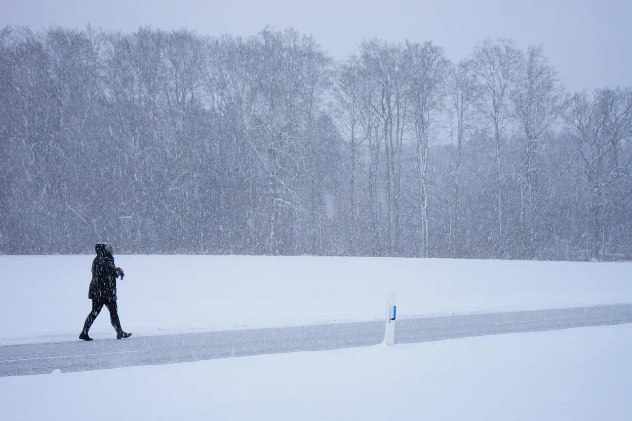
A massive winter storm swept across large parts of the U.S. in January 2026, leaving more than a million people without power at its peak, killing at least fifty people, and canceling tens of thousands of flights. Economic losses from the storm were expected to surpass one hundred billion dollars. The scale of the event caught many regions off guard, particularly those that had not historically faced such severe winter conditions.
The forecast for the January storm showed a close overlap between the southward stretch of the stratospheric polar vortex and the jet stream over the U.S., indicating perfect conditions for cold and snow. The biggest swings in the jet stream are associated with the most energy, and under the right conditions, that energy can bounce off the polar vortex back down into the troposphere, exaggerating the north-south swings of the jet stream and making severe winter weather more likely.
AI and Machine Learning Are Transforming the Forecast

At ECMWF, the Artificial Intelligence Forecasting System, known as AIFS and implemented in 2025, produces medium-range forecasts using deep neural networks trained on reanalysis and operational data. AIFS runs alongside the physics-based Integrated Forecasting System, providing deterministic and ensemble probabilistic forecasts that match or exceed the skill of traditional models in many metrics. That is a remarkable shift in a field that has relied on physics-based modeling for generations.
NOAA’s Artificial Intelligence Global Forecast System, or AIGFS, is a weather forecast model that implements AI to deliver improved weather forecasts more quickly and efficiently, using up to roughly ninety-nine percent less computing resources than its traditional counterpart. Extending the useful forecast range by even a single day can provide earlier warnings for extreme weather, improve disaster preparedness, and enhance decision-making in sectors such as agriculture and energy.
The Threat to Research That Makes Better Forecasts Possible
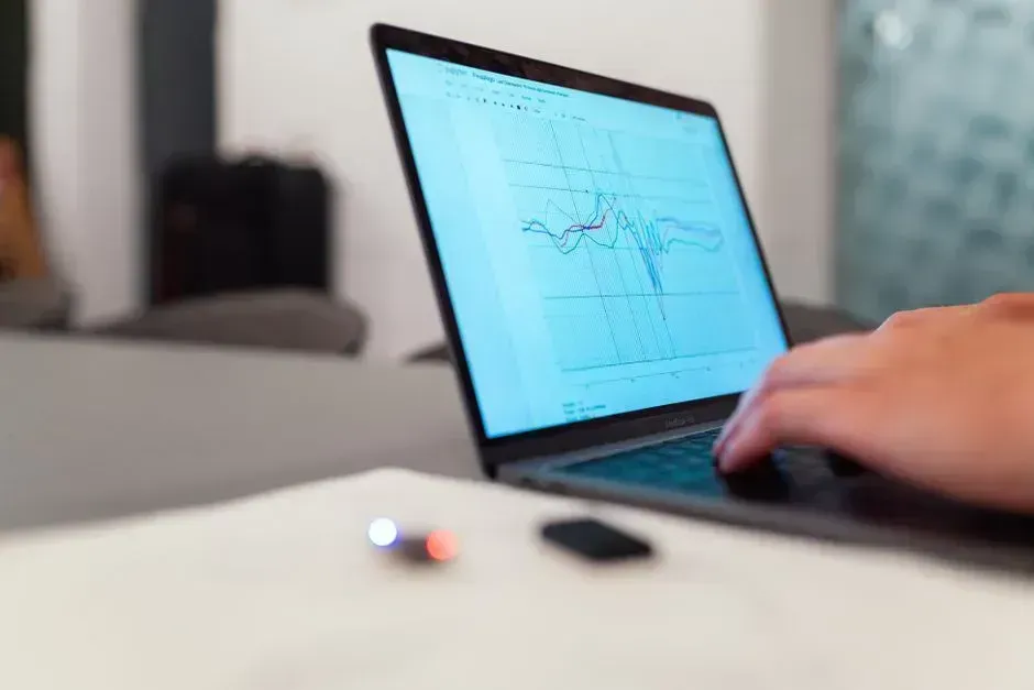
Much of the data and research in the field relies on a foundation of work by federal employees, including government labs like the National Center for Atmospheric Research, known as NCAR, which has been targeted by the Trump administration for funding cuts. These scientists help develop the crucial models, measuring instruments, and data that scientists and forecasters everywhere depend on.
Winter weather patterns are shifting as the global climate warms, and scientists are working to understand those changes. Such research is crucial because it is the first step toward even more accurate weather forecasts. Cuts made by the Trump administration to federal climate research could threaten that work. The forecasting gains of recent years did not happen automatically. They were built on decades of publicly funded science, and rolling that back carries real consequences for public safety.
Severe Winter Weather Is Not Going Away in a Warmer World
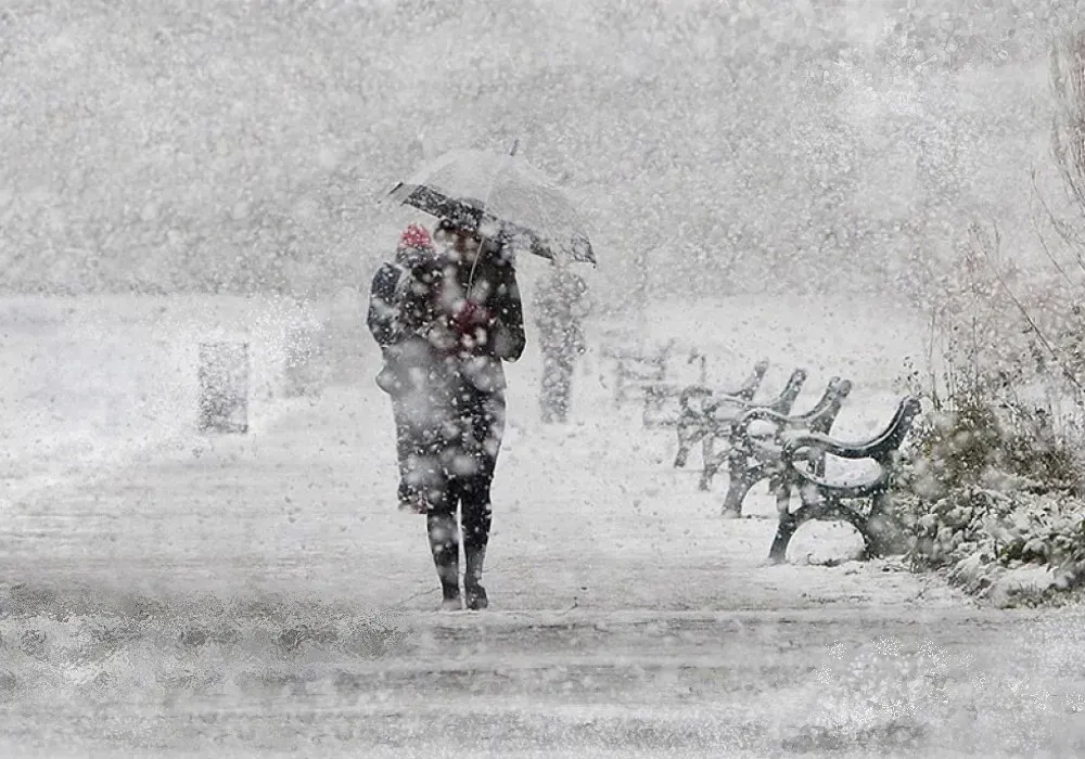
Earth is unequivocally warming as human activities release greenhouse gas emissions that trap heat in the atmosphere, and snow amounts are decreasing overall. That does not mean severe winter weather will never happen again. Some research suggests that even in a warming environment, cold events, while occurring less frequently, may still remain relatively severe in some locations.
The science is clear that as long as the planet keeps warming, winters will keep changing. We can still have cold snaps and snow, but we will also see more intense precipitation and more days where wind and water team up. The meteorologists redrawing their maps are not predicting the end of dangerous winter storms. They are working to ensure that when those storms arrive, no one is caught completely by surprise.
