


- The Planet Where It Rains Liquid Glass – 7 Alien Worlds Defying Known Physics - November 14, 2026
- Stars Consuming Entire Worlds – 6 Planetary Systems Swallowing Their Own Worlds - November 14, 2026
- The Ground Liquefies Like Water – 6 Silent Fault Lines Geologists Watch Closely - November 14, 2026
A pattern shift that has forecasters recalibrating
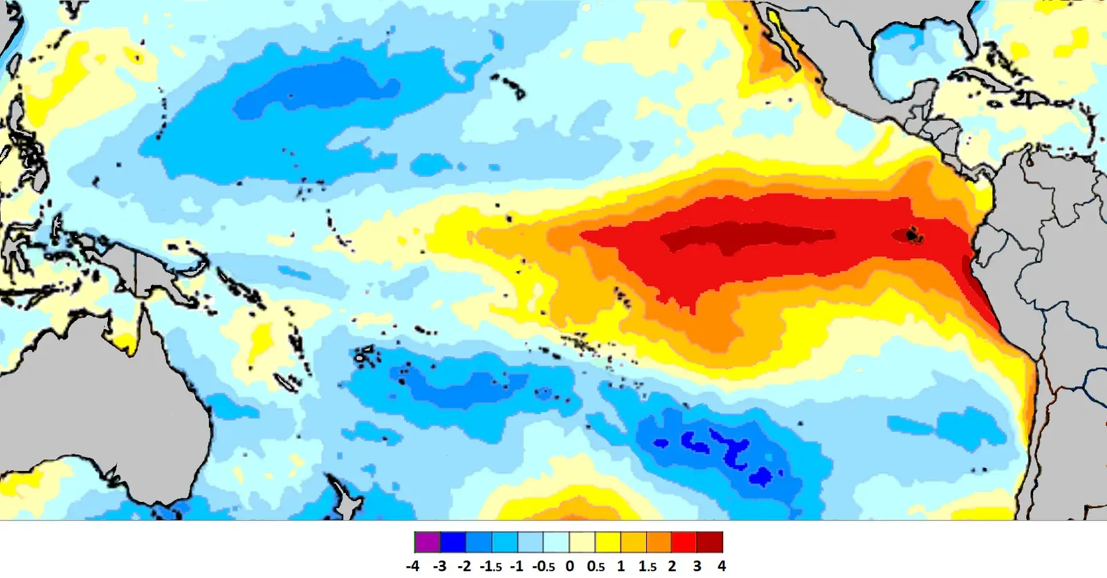
For most of the past two winters, forecasters leaned on a familiar La Niña playbook to guess where snow would fall. That playbook is being tossed out. After two straight La Niña winters, the pattern is turning, with forecasters watching what could become the strongest El Niño ever recorded, by a fairly wide margin.
That kind of reversal changes the entire conversation around seasonal snow risk. The season ahead is being called historic no matter how it plays out. When the ocean signal is this unusual, old assumptions about which regions get hit hardest start to lose their reliability, which is exactly why this winter is drawing so much early attention.
Inside the Super El Niño building for 2026-27
The numbers behind this event are striking. Forecasters now give El Niño a 97% chance of continuing through early spring 2027 and an 81% chance of reaching very strong intensity between October and December 2026, and if that forecast verifies, the event could rank among the largest El Niños observed since modern records began in 1950.
Some forecasting groups are already using the informal term for the strongest tier of this pattern. Super El Niño describes a very strong event where Niño 3.4 sea surface temperature anomalies exceed 2.0 degrees Celsius, and while NOAA does not use the term officially, the 2026-27 event is currently projected to reach that threshold, with model guidance putting the odds of a very strong event above 60 percent. A signal that large tends to reorganize the entire storm track across North America, not just nudge it slightly.
Why old climatological rules are bending
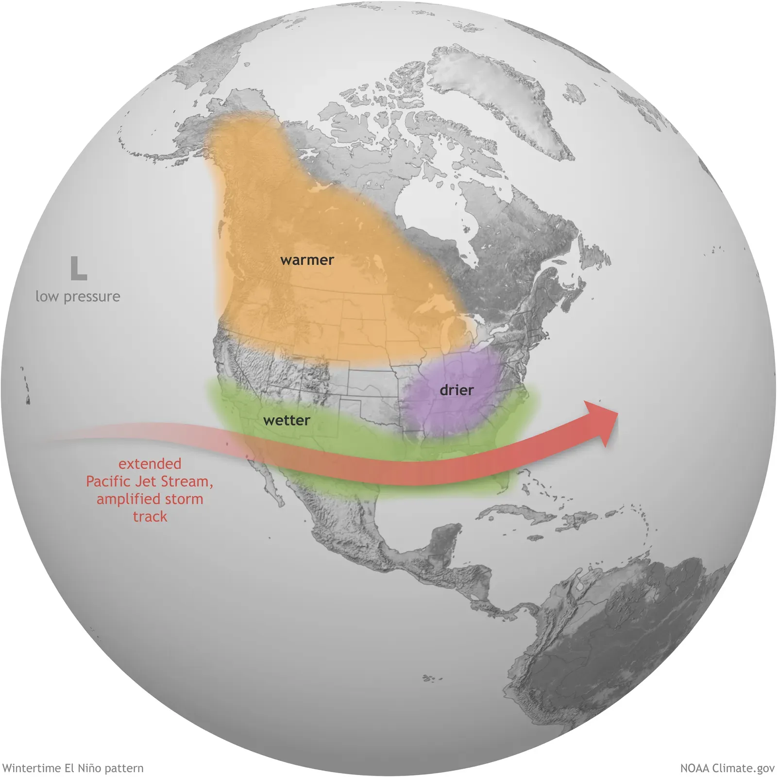
Strong El Niño winters have a well documented habit of pulling the jet stream south. Strong El Niño winters frequently shift the most persistent storm track southward, which can reduce the frequency of widespread northern tier snowstorms, although individual systems and lake effect events will remain possible.
That reshuffling is already visible in seasonal snowfall trends. Historical NOAA analysis shows reduced seasonal snowfall across much of the Great Lakes and interior New England during moderate to strong El Niño events, with warmer stretches interrupting otherwise productive storm patterns while mixed precipitation and rain become greater concerns. A quieter average season, though, does not rule out one or two storms strong enough to make headlines.
The polar vortex wildcard nobody can ignore
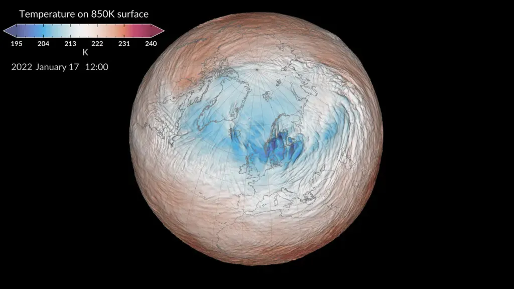
El Niño alone does not decide who gets buried in snow. Long range forecasters are also tracking an early polar vortex disruption signal, one they consider unusual for this stage of an El Niño setup. Winter 2026/2027 early forecast shows a Polar Vortex disruption signal as Super El Niño Planetary Waves could bring snowier and colder season for the United States, Canada, and Europe.
Model output already hints at what that disruption could look like in the stratosphere. Mid winter stratospheric pressure anomalies in a Super El Niño event show a displaced Polar Vortex core, with a stratospheric high pressure anomaly driven by planetary wave energy from below, and the actual December 2026 forecast shows a similar pattern. A wobble like that can send Arctic air spilling south at almost any point in the season, sometimes with only a week or two of warning.
Where the risk actually concentrates: Mid-Atlantic and Northeast
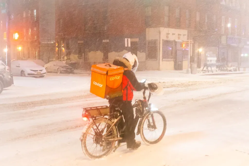
Despite a milder seasonal average forecast, this corridor remains the most closely watched region for a genuine blizzard threat. The outlook is more complicated across the Great Lakes and Northeast, with parts of the Great Lakes sitting near NOAA’s drier northern signal while the Mid-Atlantic and portions of the eastern United States sit closer to the wetter southern storm track.
The mechanism behind a big nor’easter does not disappear just because the season trends warm. A strong southern jet stream can provide moisture for East Coast storms, and if enough cold air is available, that moisture can produce a significant nor’easter, though without sustained cold the same storm track may produce rain along the coast and snow farther inland or at higher elevations. Last winter offered a preview of exactly that kind of outcome, when the region turned unusually cold late in the season and delivered a storm few saw coming months in advance.
The Great Lakes and Upper Midwest: quieter, not risk free
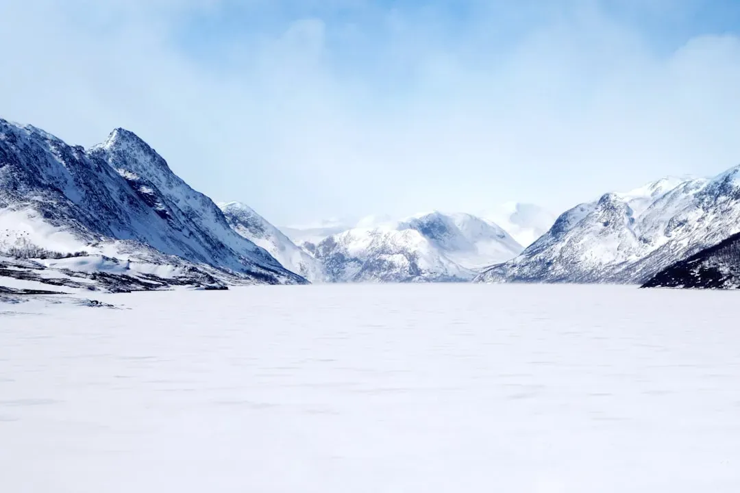
This region carries the most consistent warm signal in the current outlook. Much of the Northern Plains and Upper Midwest is expected to lean warmer than recent winters, reducing snowfall opportunities, with the Interstate 95 corridor in the Northeast facing similar struggles if temperatures stay too mild.
Lake effect snow adds a layer of unpredictability that seasonal outlooks cannot fully capture. Lake effect snow will depend heavily on the timing of cold air intrusions, and warmer open water can enhance snowfall when genuinely cold air arrives, but prolonged mild periods can produce rain, mixed precipitation and poor snow retention. The region’s last major event, in March 2026, showed how quickly that can flip from mild to extreme in a matter of days.
The southern storm track wakes up
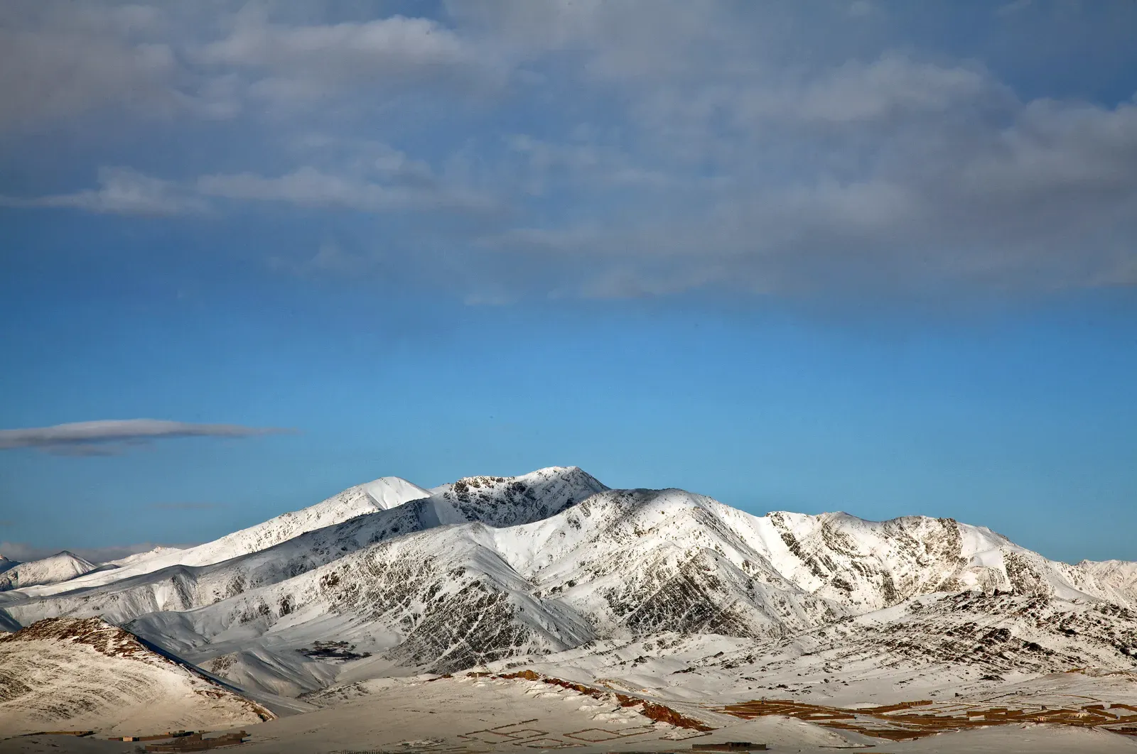
Strong El Niño winters tend to energize places that rarely see headline snow totals. A textbook El Niño favors the Southwest, think the southern Sierra, the mountains of Arizona and southern Colorado, while leaving the Pacific Northwest drier.
That southern shift is expected to extend into the Plains as well. The Central Plains and central Rockies may become a battleground where cold air and moisture periodically combine to produce significant snowstorms, while the Deep South could face repeated heavy rain, flooding, and an active severe weather season as powerful storm systems tap into abundant Gulf moisture. It is an unusual lineup for winter, more reminiscent of a spring severe weather map than a classic snow season.
What last winter’s storms already revealed
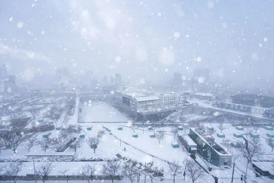
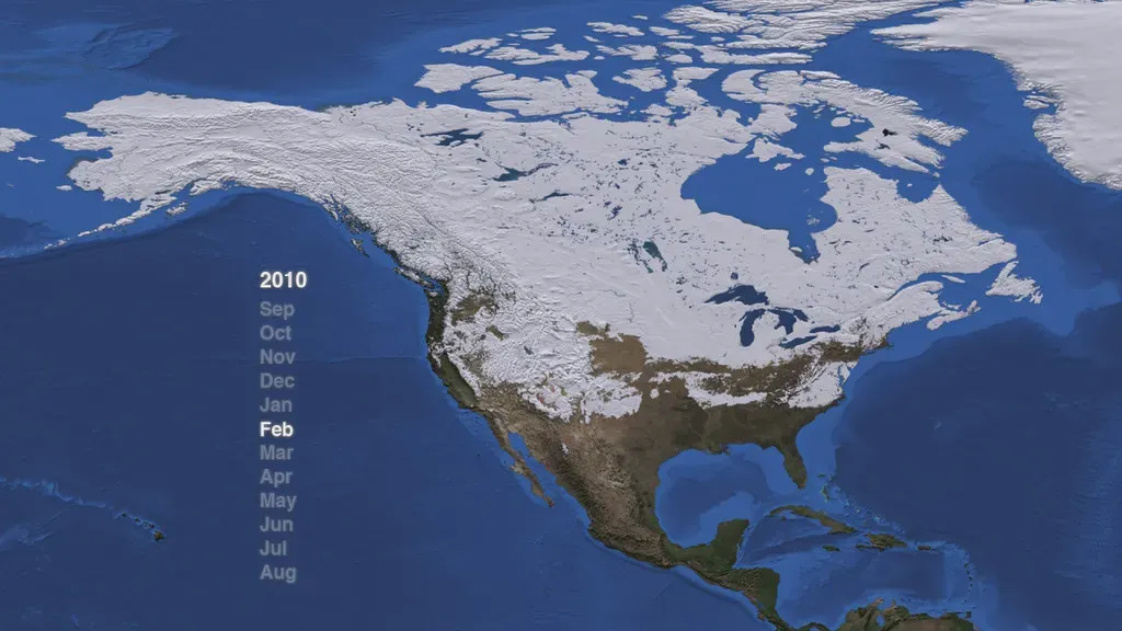
The 2025-26 season did not behave like a typical warm, dry winter, and its two biggest blizzards proved it. Winter 2025-2026 was the second warmest and fifth driest meteorological winter on record across the contiguous United States, although the Northeast experienced colder conditions and a major late season blizzard.
That February storm turned out to be one of the most intense in recent memory. The storm reached Category 3 Major blizzard status with a NOAA Regional Snowfall Index of 9.69, highest sustained winds of 75 mph, gusts up to 98 mph at Wellfleet, Massachusetts, and a maximum snowfall of 37.9 inches at Rhode Island’s T. F. Green International Airport. A month later, a separate system reached even higher on NOAA’s scale, hitting Category 5 Extreme status with a Regional Snowfall Index of 26.97 and 52 inches of snow near Round Lake, Michigan, a reminder that a warm season average can still hide truly historic individual events.
Faster warnings: how AI models are closing the gap
The most practical change for anyone tracking blizzard risk this year is not about climate at all. It is about computing. During an extreme, out of distribution snowfall event on the Gulf Coast, ECMWF’s AI forecast model delivered an accurate snowfall forecast with a lead time of ten days, earlier than the traditional physics based model.
NOAA has embraced the same approach for its own operational forecasting. The agency introduced a new suite of AI driven weather forecasting models, including the Artificial Intelligence Global Forecast System, designed to deliver improved weather forecasts more quickly and efficiently than its traditional counterpart. Efficiency is part of the appeal too, since a single 16 day forecast uses only 0.3 percent of the computing resources of the operational GFS and finishes in approximately 40 minutes, meaning forecasters get critical data more quickly than they do from the traditional GFS. That speed is precisely why blizzard warnings this season may arrive with more runway than history would suggest, even if the storms themselves remain as unpredictable as ever.
The takeaway
None of this amounts to a guarantee that any single city gets buried this winter. What it does show is a season shaped by two forces pulling in different directions at once, a record scale El Niño nudging the storm track south and warming much of the northern tier, and a possible polar vortex disruption capable of shoving Arctic air south with little notice.
The Mid-Atlantic and Northeast remain the corridor most likely to see a storm that lives up to the word historic, even in a winter expected to run mild on average. Everywhere else, from the Great Lakes to the southern Rockies, the message from forecasters is consistent: watch the short range guidance closely as the season unfolds, because in a winter built on unusual signals, the biggest storm often shows up exactly where the seasonal outlook said it wouldn’t.
