

- Why Distant Hills Look Fuzzy Before Storms – Humidity Scattering Light - November 16, 2026
- The Compostable Cup Left Intact for Years – 5 Backyard Composting Failures - November 15, 2026
- Fast-Fashion “Conscious” Lines Under Scrutiny – 5 Red Flags in Eco-Clothing - November 15, 2026
On February 6, 2023, the ground in southern Türkiye tore open along a line that researchers later measured in the hundreds of kilometers. Studies describe a surface rupture of about 350 km for the first quake, which works out to roughly 217 miles.
That figure comes from fault mapping, satellite imagery and fieldwork carried out after the disaster. The numbers differ a little between teams, and the reasons for those differences say a lot about how scientists measure a rupture.
Two large earthquakes in a single day
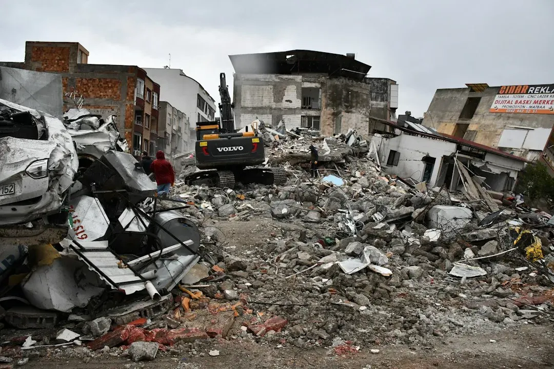
Southern Türkiye was struck by two large earthquakes that day, a magnitude 7.8 event at 01:17 UTC near Pazarcık and a magnitude 7.6 event at 10:30 UTC near Elbistan. Both were centered in Kahramanmaraş Province. Researchers often call the pair a doublet.
The two quakes struck within nine hours of each other near the border between Türkiye and Syria. The second was not a simple aftershock of the first. It broke a different fault, which is part of why the damage was so widespread.
Where the first rupture began
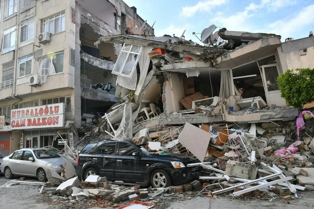
The magnitude 7.8 event started on a splay fault called the Narlı fault, just south of the East Anatolian Fault, and then ruptured the main fault in both directions. That bilateral spread is what produced such a long surface break.
The area is a complex junction of the Dead Sea Fault, the Cyprus Arc and the East Anatolian Fault Zone. Several fault systems meet there, so a break that begins on one strand can pass onto others.
How long the main rupture was
The exact length depends on the method used. One satellite study of Sentinel-2 imagery found ruptures of 310 km and 140 km for the magnitude 7.8 and 7.6 shocks, which is about 193 miles for the first. A USGS-linked mapping study put the East Anatolian Fault rupture at about 345 km.
Those figures bracket the roughly 350 km often cited elsewhere. All of them put the first rupture well beyond 200 miles. The differences come from where analysts decide a rupture trace fades out or continues.
The second quake on the Sürgü and Çardak fault
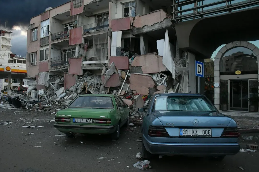
The second quake occurred along the Sürgü fault, located about 90 km north of the East Anatolian Fault. It ran east to west, and the first quake’s rupture ran roughly northeast to southwest.
Researchers describe the magnitude 7.6 event as starting in the middle of the Sürgü fault and causing a surface rupture of about 160 km. Other studies give nearby values, such as 140 km from satellite imagery and about 175 km in a USGS-linked study.
More than 500 kilometers in total
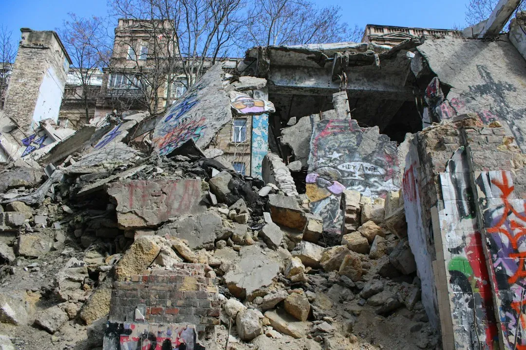
One mapping study counted more than 500 km of cumulative fault surface rupture from the two earthquakes. That is more than 310 miles of broken ground.
A separate field investigation also reported a combined length above 500 km, with striations that reflect left lateral faulting. Two independent approaches landing on a similar total gives the figure good support.
Sideways slip rather than up and down
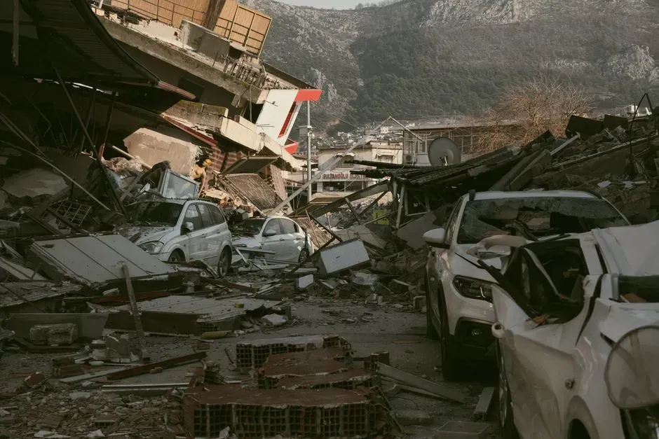
Both earthquakes were dominated by left lateral strike slip motion. In plain terms, one side of the fault moved sideways past the other, and an observer facing the fault would see the far side shift to the left.
On the northern branch, measurements showed a maximum horizontal displacement of 6.60 m and an average of 3.00 m. That means fences, roads and field boundaries were offset by several meters in places.
How scientists mapped the break
Researchers derived one rupture map from image correlation of Sentinel-2 optical satellite imagery and checked it against offset measurements collected on the ground. Comparing satellite images from before and after the quake reveals how far the surface moved.
Another team mapped detailed rupture at 1:1500 scale from 94 high resolution commercial satellite images collected between 6 February and 30 March 2023. Field teams also walked sections of the East Anatolian and Narlı faults in June 2023, including a 28 km reach that lacked earlier remote observations.
Damage beyond the fault line
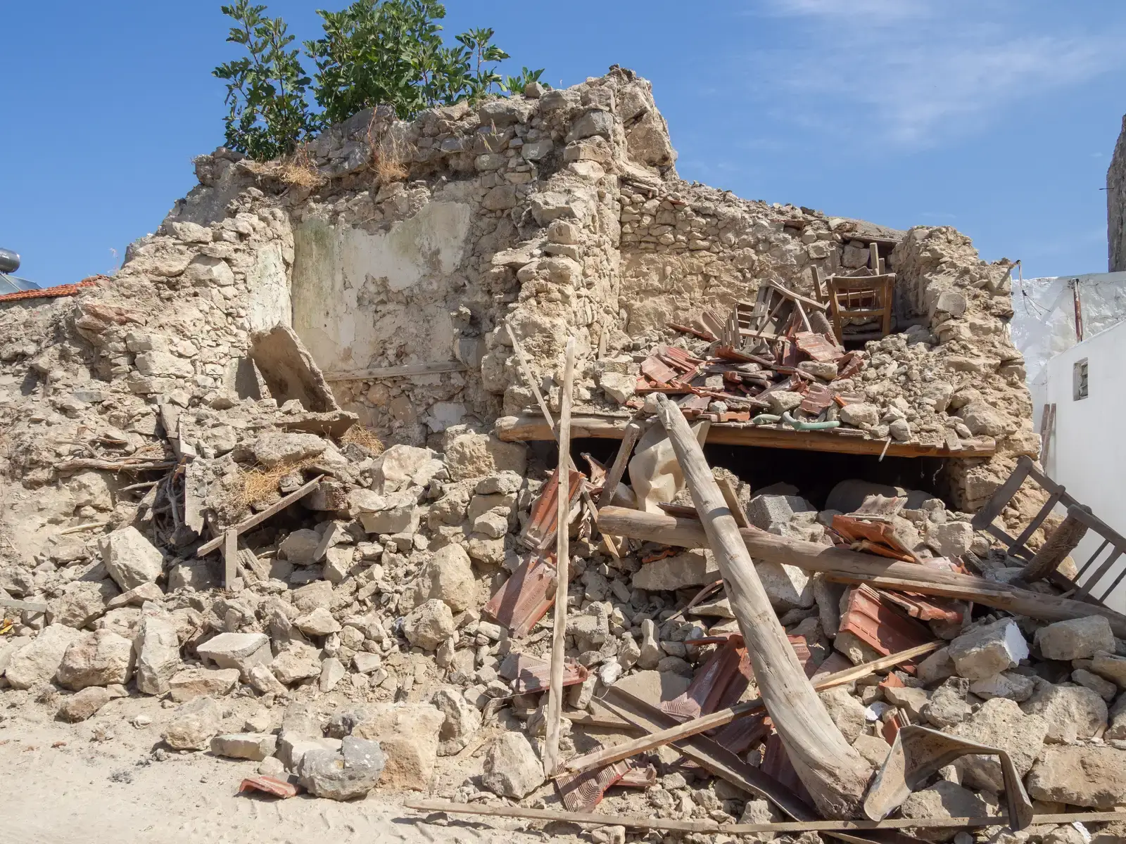
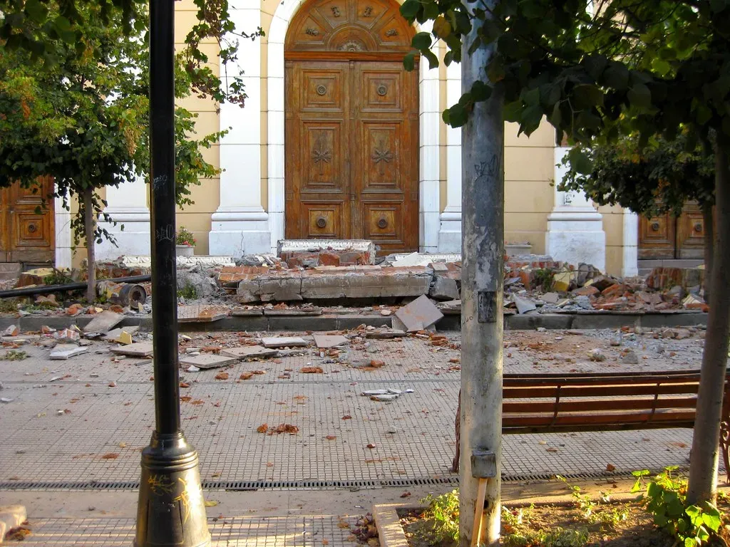
The breakage did not stay neatly on one line. A 2025 study in the PMC archive examined extensive off fault damage around the surface ruptures. That means cracking and deformation spread into the surrounding ground, not only along the main trace.
The human toll was severe. One mapping paper cites more than 57,000 deaths across Türkiye and Syria, based on figures from USAID.
