
What Forecasters Actually Predicted for Summer 2026
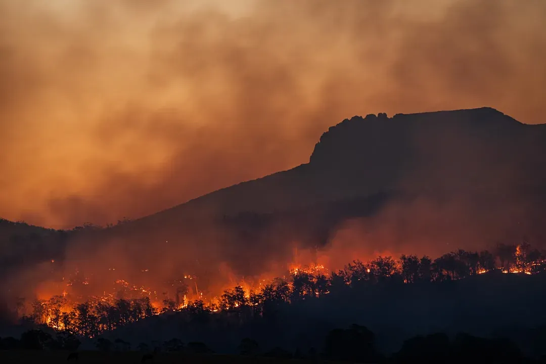
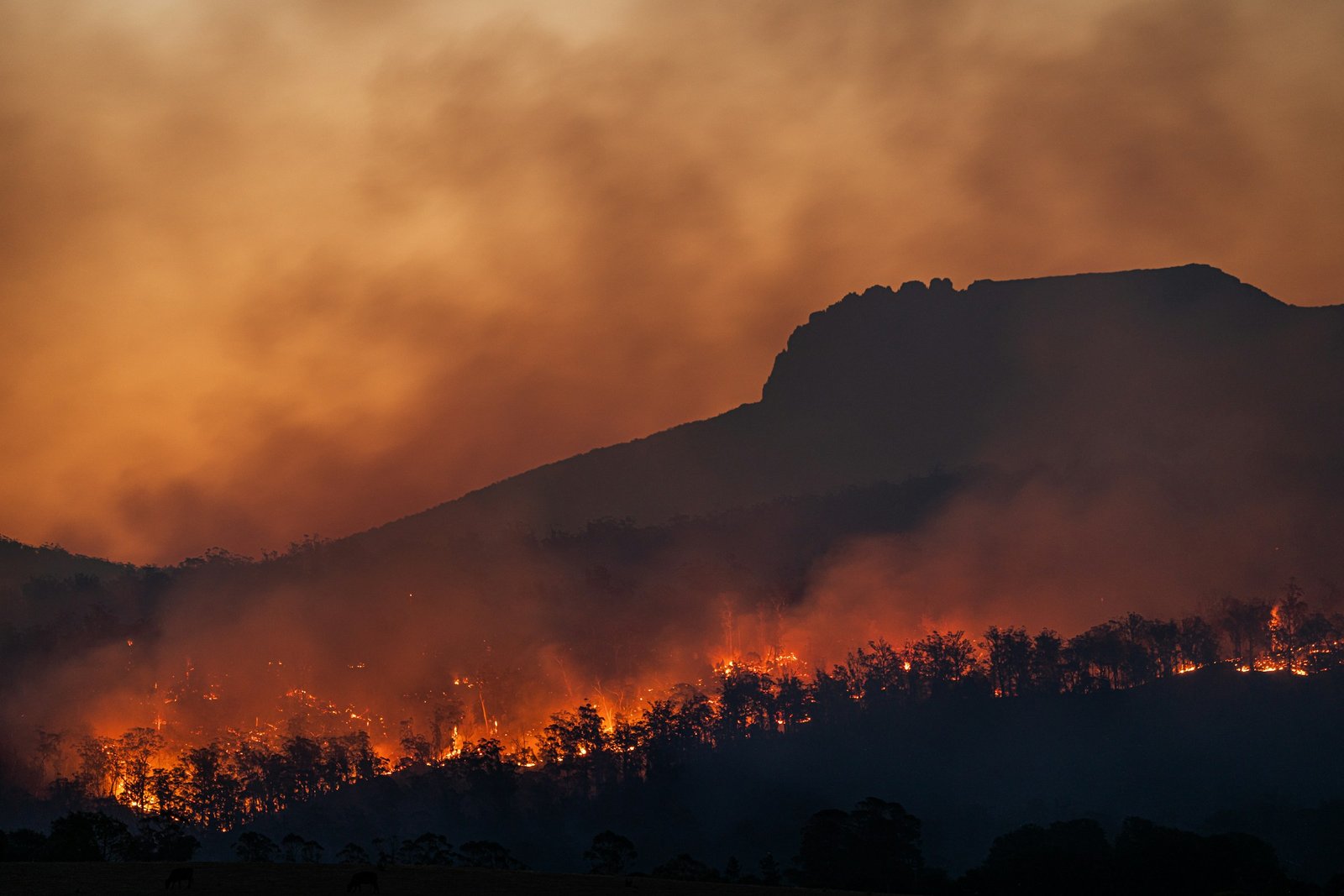
Heading into the season, the major seasonal outlooks were fairly unified in their focus. The AccuWeather 2026 summer forecast projected widespread heat above historical averages from California to New England, with Northwest and Great Basin wildfires expected to generate particularly destructive and smoke-producing fires. The National Significant Wildland Fire Potential Outlook added more specific warnings about the interior West.
Fuels in the southern half of Nevada and Utah were already near or exceeding record dry levels, and some fires were burning in heavier fuels and timber at higher elevations, which is unusual for late May and produces more smoke than grasses or chaparral. The same outlook projected that above-average significant wildfire potential would consume nearly the entire northwest corner of the country, including Washington, Oregon, Idaho, and southwest Montana, with conditions resembling 2015, one of the worst fire seasons in Pacific Northwest history. On paper, it was a reasonable, well-supported forecast.
Drought and a Brewing El Niño Set the Stage
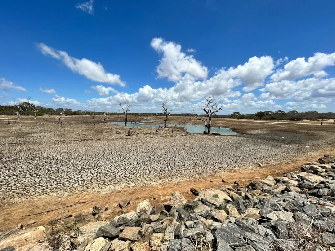
The atmospheric backdrop only reinforced that western-focused thinking. About 17 percent of the country was already in extreme drought, and an all-but-certain El Niño was expected to bring warmer, drier conditions to the already volatile Northwest while suppressing or delaying monsoon precipitation elsewhere. Some outlets even floated the possibility of a rare super El Niño developing later in the year.
As summer 2026 began, experts warned that conditions might be even more dangerous than usual, with a developing El Niño pattern expected to drive drier, hotter conditions across much of the western United States and fuel wildfires that could send smoke thousands of miles downwind. Fire acreage backed up the concern early on. By mid-June, the 2026 wildfire season had already consumed twice the acreage that burns in an average year at that point, with 2.4 million acres burned across the United States compared to a ten-year average of roughly 1.2 million acres through the same date. Every signal pointed toward the West as the season’s defining story.
A Quiet Spot on the Map, Until It Wasn’t
While attention stayed fixed on the Great Basin and the Pacific Northwest, one region kept getting overlooked in the early-season conversation, which is exactly what made what happened next so striking. Northern Minnesota and the boreal stretch of western Ontario just across the border had not been part of the worst-case scenario that most outlooks described. If anything, conditions there looked relatively calm compared to the drought gripping the interior West.
The snow conditions in Canada that year hadn’t followed the same pattern seen in the western United States, and forecasters noted that if things stayed relatively wet up north, the Midwest would be less likely to experience the boreal wildfire smoke it had grown accustomed to in prior years. Michigan’s environmental agency put it plainly in its own alerts through the spring and early summer. In terms of wildfire smoke, the state said it had been fortunate so far in 2026. That sense of relative calm did not last.
Lightning, Heat, and a Sudden Outbreak
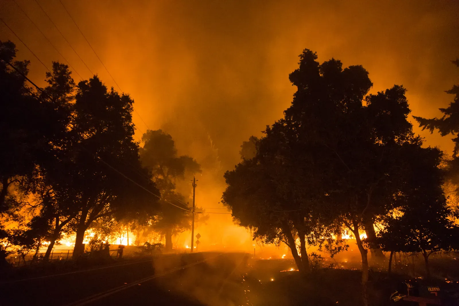
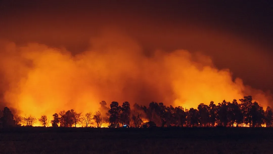
The shift began with a run of thunderstorms that struck the Superior National Forest in northeastern Minnesota in early July, sparking blazes across a landscape already primed to burn. Multiple wildfires ignited in the Superior National Forest and the Boundary Waters Canoe Area Wilderness after a series of lightning storms. Within a week, the situation had escalated far beyond a routine summer fire cycle.
The Forest Service later described a surge of wildfires, up to 19 on the forest since July 7 alone, with new fires emerging daily, driven by unusually hot, dry, and windy weather that caused the fires to spread fast and unpredictably. Satellite imagery captured startling scenes of numerous intense, fast-moving wildfires stretching from far northern Minnesota into Ontario, with extreme heat signatures and thick smoke plumes, and one fire even producing a pyrocumulonimbus cloud, a fire-generated thunderstorm. It was a dramatic escalation in a region that had spent most of the season out of the spotlight.
The Boundary Waters Shuts Its Gates
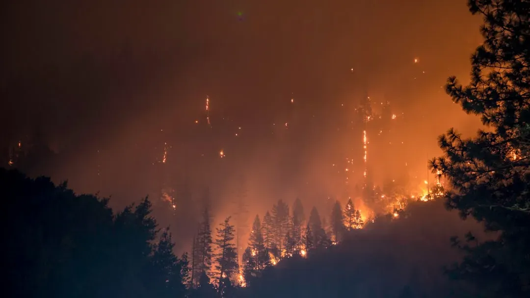
The scale of the outbreak forced an unusual step. The U.S. Forest Service closed all Boundary Waters Canoe Area Wilderness entry points effective 12:01 a.m. on Tuesday, July 14. Access to the more than one million acre wilderness area was closed to permit holders and outfitters while wildfires continued to burn and fire danger remained high, with all entry points closing at midnight.
Officials framed the move as unavoidable given how the fires were behaving. Beyond the flames themselves, the agency cited dangerous smoke, unstable conditions, and rapidly shifting fire behavior that could trap visitors with little warning, noting that emergency response is challenging even on a normal day in a wilderness that large and remote. Dry vegetation, including standing and downed trees affected by spruce budworm, was fueling faster spread, and a regional incident management team was brought in to support suppression operations. For a wilderness area beloved by paddlers and campers, the closure marked a rare and sobering disruption.
Minnesota’s Governor Declares an Emergency
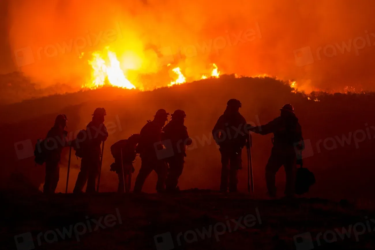
As the fires expanded, the state response moved quickly from advisory to emergency. Triple-digit heat, winds, and low humidity triggered a major flare-up of wildfires that had been burning since May in northeast Minnesota, prompting a peacetime emergency declaration from Governor Tim Walz. The declaration reflected just how quickly a regionally contained fire situation had turned into a statewide concern.
Air quality data made the severity obvious almost immediately. The far northeastern Minnesota city of Grand Portage, along the North Shore of Lake Superior, recorded the worst air quality of any location in the entire country as of mid-morning on July 14. Air quality levels reached the maroon category, hazardous for everyone, in northeastern Minnesota including the Grand Portage Tribal Nation and Two Harbors, with slightly lower but still very unhealthy purple-level readings across east-central and parts of northeastern Minnesota. Local officials warned residents to expect a rise in emergency room visits tied directly to the smoke.
How the Smoke Crossed State and National Lines
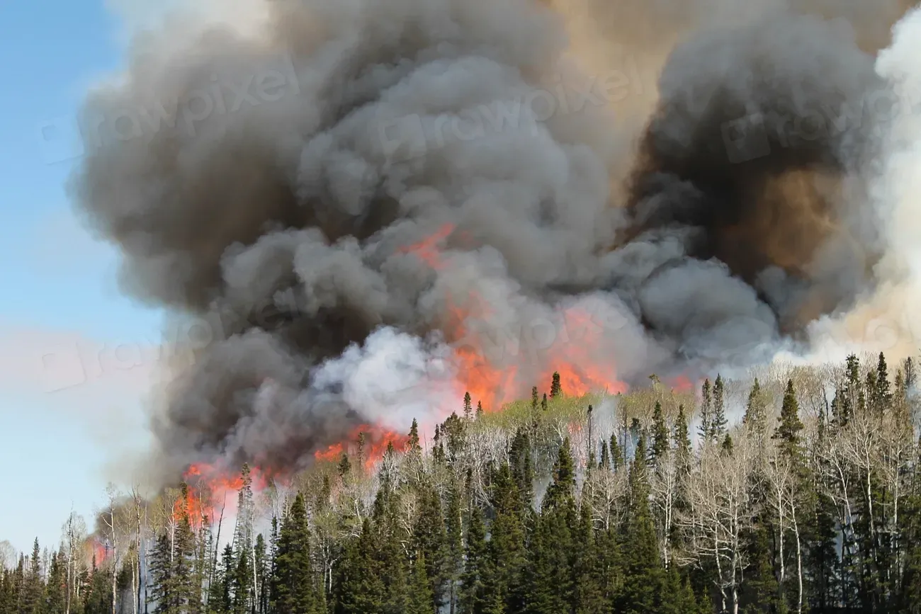
Once the fires were burning at that scale, the smoke did not stay put. Smoke traveling from fires in Ontario and northern Minnesota proved closer to Wisconsin than the Canadian smoke that had reached the state in years past, meaning Wisconsin experienced the brunt of the impact this time. Statewide air quality alerts followed in multiple states well beyond Minnesota’s borders.
Statewide air quality alerts were issued in both Michigan and Wisconsin as the smoke plume expanded. Michigan’s environmental agency reported that shifting winds were set to bring smoke from wildfires in Canada and Minnesota into the Great Lakes region, with a meteorologist explaining that a mild cold front would cause built-up wildfire smoke to push southward into the United States. The pattern echoed something forecasters had warned about all season without being able to say exactly when or where it would strike.
A Plume That Reached the Northeast Corridor
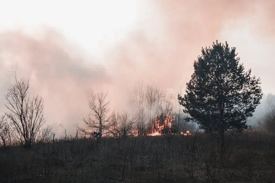
By midweek, the smoke had traveled far beyond the Great Lakes. The smoke plume was expected to move toward the Interstate 95 corridor in the Northeast through Wednesday, reaching cities including Boston, New York City, and Philadelphia by Wednesday evening. For residents a thousand miles from the nearest flame, the connection between a lightning storm in the Boundary Waters and hazy skies over Manhattan might not have been obvious, but the atmospheric chain was direct.
Massive plumes of Canadian wildfire smoke poured over the border into the United States, bringing dangerous air quality to more than 100 million people across the Midwest and Northeast. In Canada overall, more than 3,000 fires had burned nearly 4.5 million acres by that point in the summer, with a dozen blazes flaring up in Ontario in recent weeks and filling the skies with smoke that began drifting south. It was, in scale and reach, comparable to some of the most disruptive smoke events the country had experienced in recent memory.
Why the Western Forecasts Missed This One
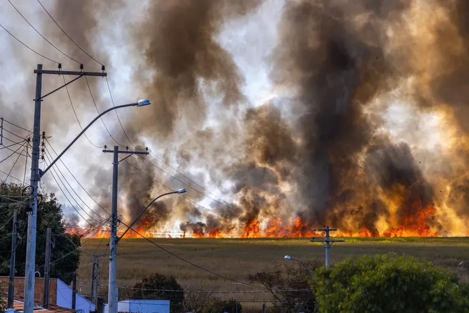
The gap between forecast and reality was not really a failure of science so much as a reflection of how wildfire smoke behaves. Where the smoke from any resulting fires actually goes is far less predictable than whether fires will occur at all, subject to nearly impossible-to-forecast factors such as when human-caused ignitions happen, how big a given fire grows, what the winds are doing on a given day or even hour, and how much moisture is in the air. Seasonal outlooks are built to identify where fuel and drought create risk, not to pinpoint which specific lightning strike will ignite the fire that ends up mattering most.
That unpredictability cuts both ways. A region with dry fuel and hot weather, like the interior West, can still see a quieter season than expected if ignitions and wind patterns don’t cooperate, while a region considered a secondary concern can suddenly produce the worst smoke event of the year if the right combination of lightning, heat, and wind aligns. Northern Minnesota and western Ontario were not high on most 2026 forecasts precisely because the snowpack and moisture situation up north looked less alarming than the drought gripping the American West. Once the lightning storms hit and the heat wave settled in, that calculus changed within days, not weeks.
The Health Toll of an Unexpected Smoke Event
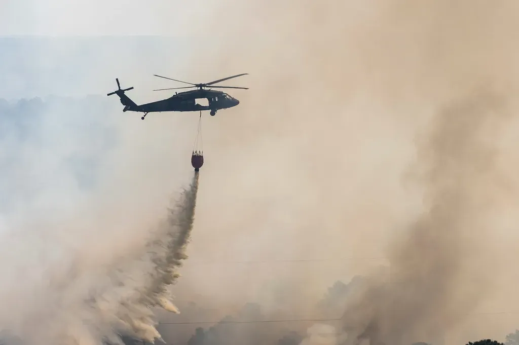
Regardless of where smoke originates, the health consequences follow familiar and well-documented patterns. A study published earlier this year by researchers at UCLA was the first to estimate deaths specifically from long-term exposure to wildfire smoke, finding that it kills more than 24,000 people in the United States every year, more than the number killed by murder. That statistic applies just as much to smoke drifting in from Ontario as it does to smoke rising from a California hillside.
Health officials in the affected states responded with familiar guidance once the plume began moving. Wildfire smoke is hazardous to breathe because it contains microscopic particulate matter, much smaller than the width of a human hair, that can lodge deep into the lungs and enter the bloodstream, leading to short-term effects like coughing, shortness of breath, a scratchy throat, and burning eyes, while prolonged exposure to dense smoke can raise the risk of chronic lung issues and inflammation tied to heart attacks and strokes. Health experts recommended drinking water often, limiting time outside, taking breaks in the shade, and resting overnight before the next day of exposure. For vulnerable groups, including children, older adults, and people with existing respiratory or heart conditions, the advice remained the same regardless of whether the smoke traveled a hundred miles or a thousand.
Final Thoughts
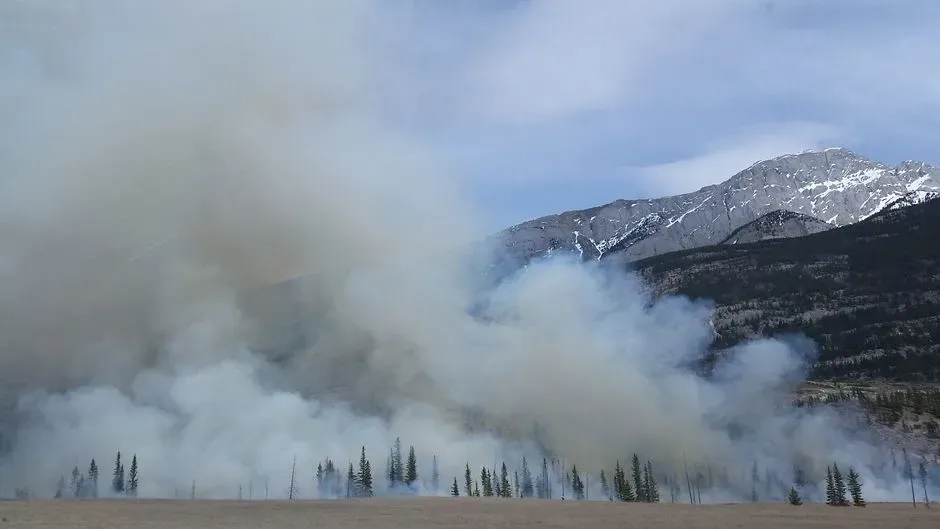
The Boundary Waters outbreak is a reminder that wildfire risk maps are useful tools, not guarantees. The drought-stricken West still faces a long, dangerous stretch of summer, and nothing about what happened in Minnesota and Ontario changes that underlying picture. What it does change is the assumption that the worst smoke of any given year will necessarily come from the place everyone was already watching.
As fire seasons stretch longer and smoke events grow more frequent across the country, the practical lesson may matter more than the meteorological one. Checking local air quality has become less about curiosity and more about routine precaution, no matter which region happens to be burning on a given week.

- The Shoreline Sucked Dry in Seconds – 5 Tsunami Signals Beachgoers Mistake for Low Tide - November 14, 2026
- 9 Dark-Sky Destinations Around the World Where the Stars Look Unreal - November 14, 2026
- The Fault Line That Never Slips – 7 Locked Seismic Zones Overdue for a Massive Release - November 14, 2026
