


- Paper Straws Ineligible for Curb Pick-Up – 6 Paper Swaps Sorting Facilities Can’t Process - November 16, 2026
- Cotton Totes Carry a 20,000-Use Footprint – 6 Everyday Eco-Swaps Worse Than Plastic - November 16, 2026
- Ravens Cooperative-Hunting With Wild Wolves – 7 Surprising Animal Partnerships - November 16, 2026
Drive through certain neighborhoods in Miami Beach or coastal South Carolina these days and you might notice something odd: roads that seem to rise slightly above the driveways beside them, curbs that look freshly poured, storm drains tucked into corners that didn’t exist a decade ago. This isn’t random construction. It’s a deliberate, expensive, and increasingly common response to a problem that used to feel distant but now shows up every high tide.
Local governments from Virginia to Florida have started treating road elevation not as a future contingency but as an active infrastructure project, one with price tags in the hundreds of millions of dollars and timelines stretching decades into the future. The reasons behind this shift, and the tradeoffs involved, tell a bigger story about how coastal America is adjusting to water that simply won’t recede the way it used to.
Tidal flooding has become a routine event, not a rare one
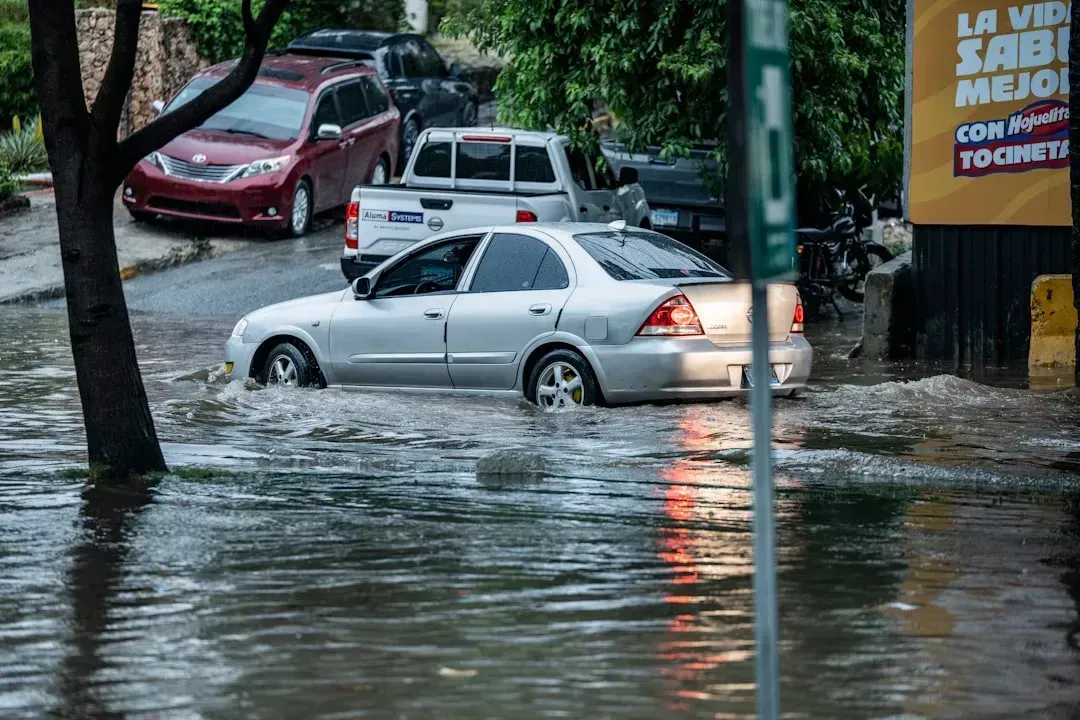
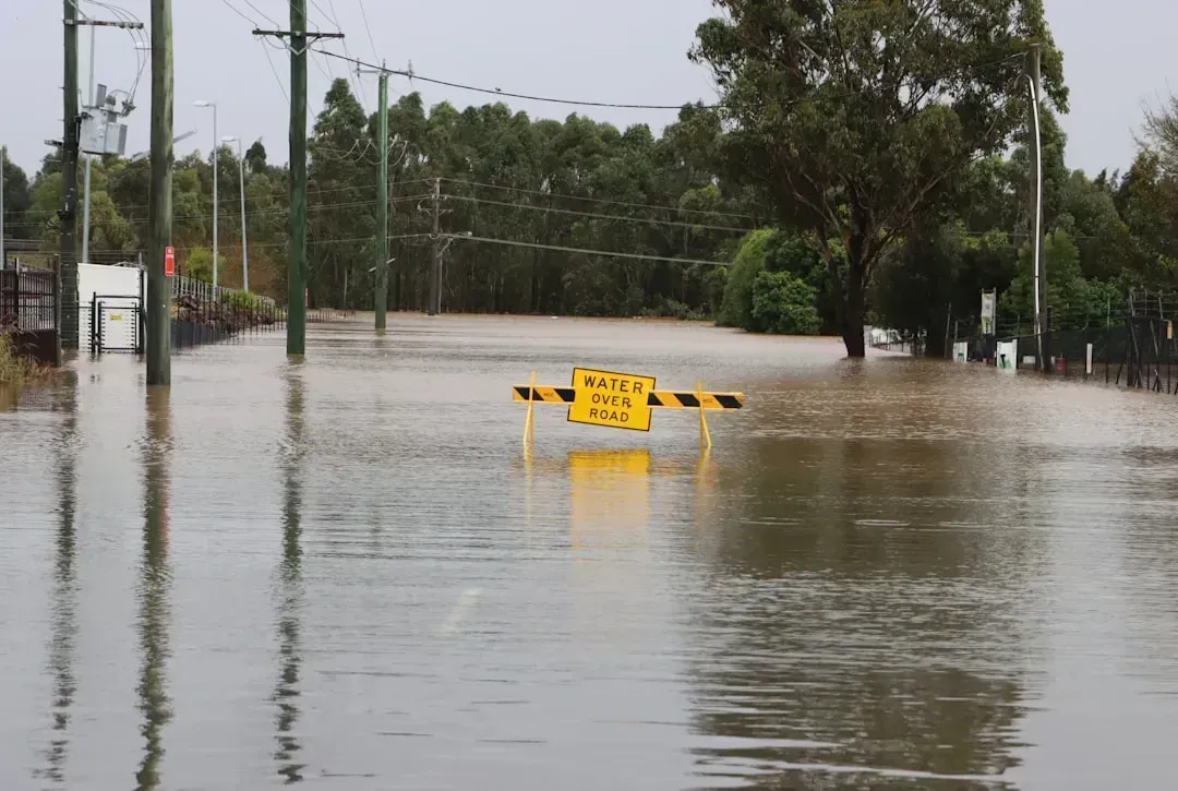
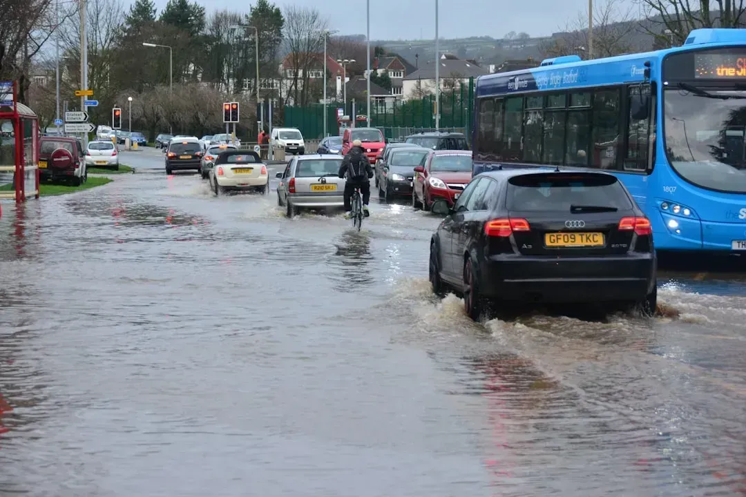
The clearest sign that something has changed is how often streets flood without any storm involved at all. High tide flooding is now happening two to three times more often since 1990 along most US Atlantic and Gulf coastlines, according to a NOAA oceanographer. This is what researchers call “sunny day flooding,” water pooling on roads during ordinary high tides under clear skies.
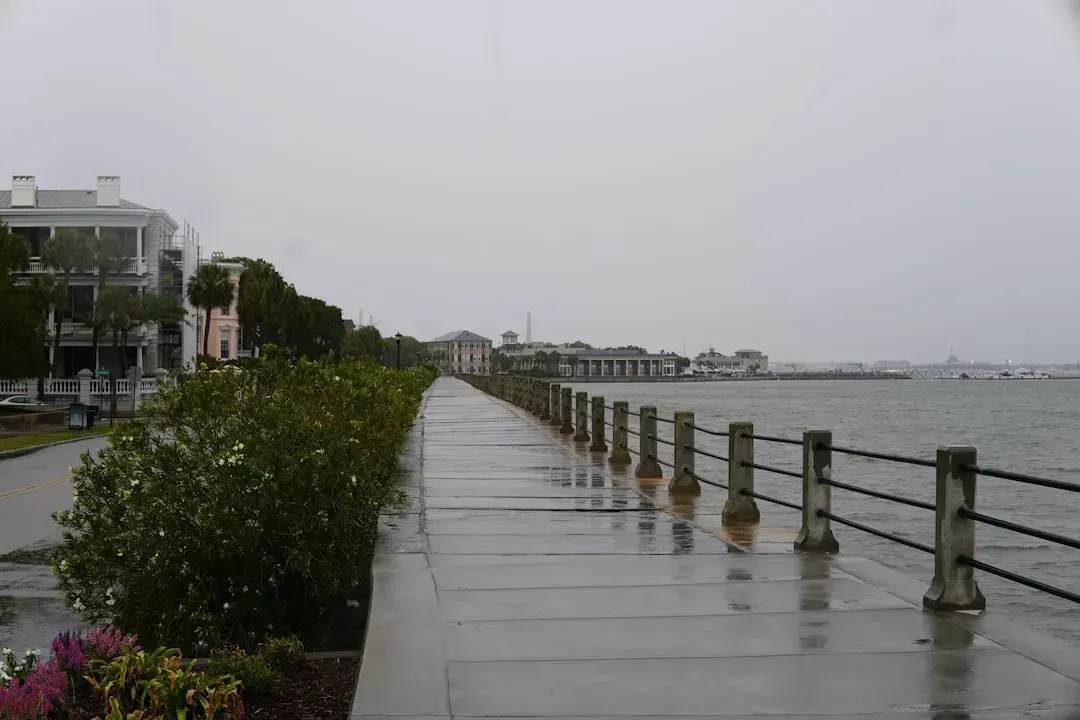
In Charleston, the shift has been dramatic. Tidal flooding in the 1970s averaged twice per year, but by the early 2010s it had risen to eleven times per year and is projected to strike up to 180 times per year by 2045. That kind of frequency turns flooding from an inconvenience into a planning constraint that touches everything from school bus routes to ambulance access.
Miami Beach became the early test case for road raising
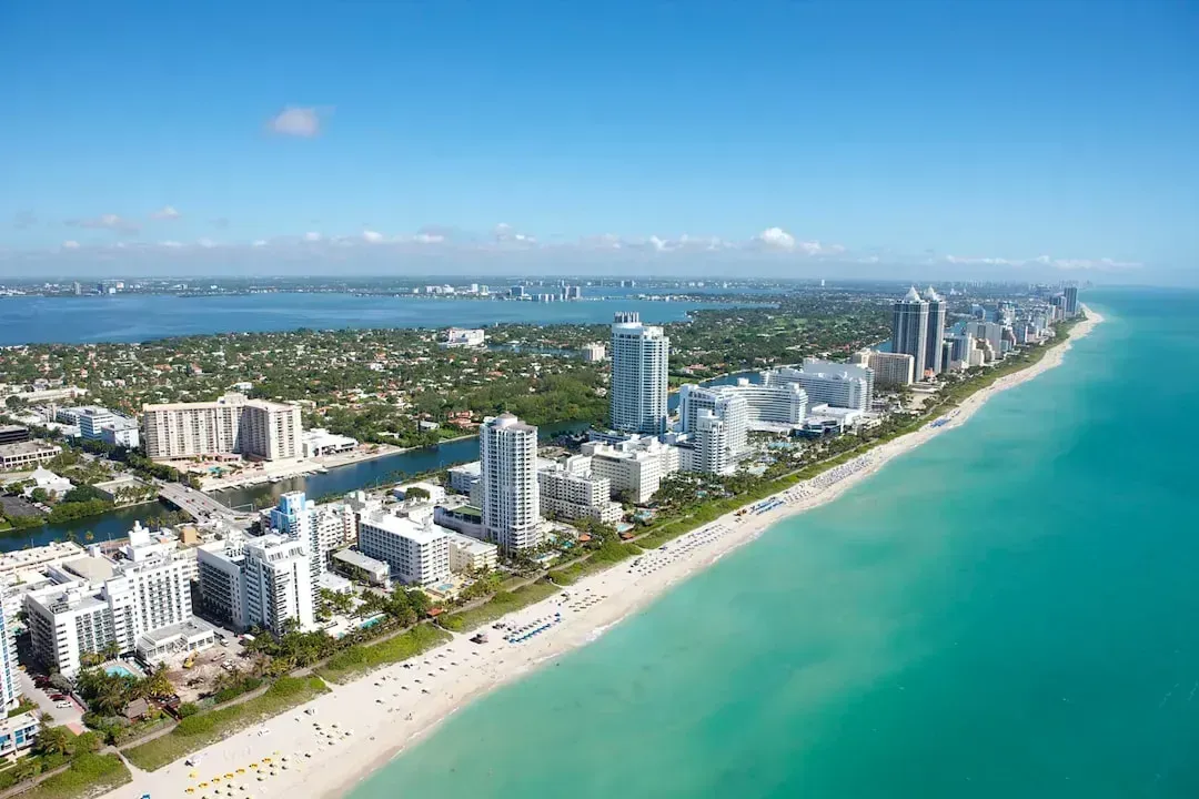
No city has been more associated with elevated roads than Miami Beach, which began overhauling its street network more than a decade ago. Since 2013, the city has taken sweeping efforts to protect its investments from climate change, and it is roughly 15 percent into a multi-year stormwater management program that includes improving drainage systems, elevating roads, and installing pumps to replace aging stormwater pipes.
The scale of the work is considerable. In 2013, under a new commission and mayor, Miami Beach moved to revamp the city’s plumbing system, raise sea walls, and increase the elevation of roads by as much as six feet in some areas. The city has raised roads by two feet at a cost of roughly two million dollars per block, and the four hundred million dollar project intends to install eighty pump stations throughout the city along with raising streets.
Raising a road without proper drainage can backfire
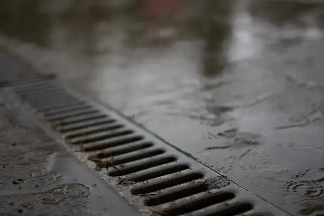
Elevating a street sounds straightforward, but it creates a new problem if it isn’t paired with drainage upgrades. Water that once spread across a flat street now has nowhere to go except toward whatever is lower, often nearby homes and garages.
Miami Beach ran into exactly this issue. One resident whose neighborhood floods badly had already spent significant money adapting her Lincoln Road condominium, since rain and tidal flooding poured into its underground garage from the street, and only a combination of stormwater pumps and a portable dam managed to solve the problem for now. Engineers now generally treat pumps and raised roads as a package deal rather than separate fixes.
Norfolk faces some of the fastest sea level rise on the East Coast
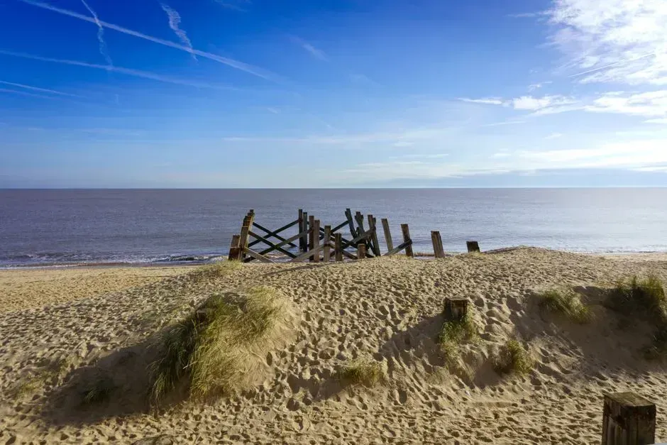
Virginia’s Hampton Roads region has a particular problem: the land itself is sinking even as the ocean rises. Sea levels in the area have risen 1.5 feet over the past century and are rising faster than anywhere else along the East Coast. Portions of the east coast, including Norfolk, see rising seas at almost three times the global rate.
The city has treated road elevation as one tool among several. Norfolk’s coastal resilience strategy calls for elevating coastal buildings, roads, bridges, and other infrastructure to manage projected sea level rise, recurrent tidal flooding, and storm surge, alongside creating a watch list of vulnerable transportation infrastructure and a prioritized plan to relocate or retrofit it. One early project on Brambleton Avenue illustrated the urgency: at the time the improvement project began in 2012, the area was flooding two to three times more frequently than it did in 1980, and was routinely flooded for two hundred to three hundred hours per year.
Small towns face the same math with far smaller budgets
Big cities like Miami Beach and Norfolk have tax bases that can absorb hundred-million-dollar projects. Small barrier island towns do not, yet they face proportionally worse exposure since so much of their road network sits barely above the tide line.
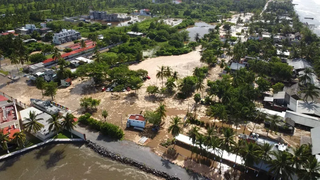
Pawleys Island, South Carolina, offers a stark example. The typical tide today rises 3.5 feet above sea level, more than a quarter of the island’s roads sit at or below 4 feet in elevation, and extreme high tides rising about 5.25 feet already exceed most of the island’s road heights. A town engineer summarized the exposure bluntly, noting that roughly 80 percent of the roadways are at risk of being overtopped at least once or twice a year, with about 20 percent at risk of being overtopped on any given day.
The town’s plan is deliberately incremental. A drainage plan for Pawleys Island calls for raising the roads six inches at a time over the next fifteen years, a thirty one million dollar undertaking at today’s prices. Even with drainage improvements, the plan calls for road elevation to continue rising until roads sit seven feet above sea level in fifty years.
Regulatory rules are starting to force the issue
In some states, road and building elevation is no longer purely a local choice. New Jersey adopted rules that reach beyond individual towns and into statewide building codes. The state now requires new construction and major renovations to raise existing homes four feet above FEMA floodplain levels, under Resilient Environments and Landscapes rules formally adopted in January that account for sea level rise projected through 2100.
These rules have not been universally welcomed. They have drawn pushback from developers, business groups, and local governments over compliance costs and permitting delays, prompting the state environmental agency to propose a one year extension of legacy provisions, delaying full compliance until July 2027. The tension between long-term resilience and short-term cost is playing out in nearly every coastal jurisdiction that has tried to mandate elevation standards.
The scale of exposed road mileage is larger than most people assume
It’s easy to think of flooded roads as an isolated nuisance affecting a few low streets near the water. The actual mileage at risk tells a different story, especially when longer time horizons are considered.
In New Jersey alone, an analysis found that in Cape May County more than 53 miles of roads would flood by 2050 under a 2 foot sea level rise scenario, a number that balloons to 216 miles flooded at high tide by 2100 if seas rise 4 feet, while Ocean County would see about 70 miles flooded by 2050 and 404 miles by 2100 under the same scenario. These are not hypothetical worst cases. They are drawn from tide gauge trends and elevation modeling already underway.
Charleston is pairing road work with a much larger seawall project
Charleston’s approach shows how road elevation rarely happens in isolation. It tends to be one piece of a broader infrastructure package that includes walls, pumps, and updated building codes.
The city is currently pursuing a major flood barrier alongside its road and drainage work. The city and the Army Corps of Engineers are moving forward with the Charleston Peninsula Coastal Storm Risk Management Project, currently in the preconstruction, engineering, and design phase, with estimated costs totaling around 1.3 billion dollars. Meanwhile Charleston has identified 2 billion dollars needed for seawalls, drainage, and raising roads, a figure that reflects just how interconnected these fixes have become.
Military and institutional sites are adapting on their own timelines
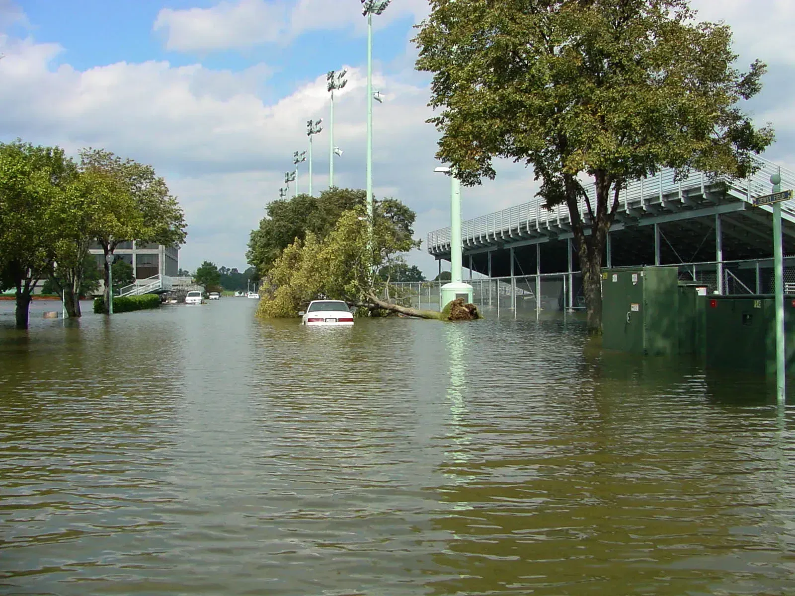
Not every elevation project is led by a city government. Some of the most exposed infrastructure belongs to federal institutions that have had to make their own calls about raising roads and walls.
The U.S. Naval Academy in Annapolis is a case in point. The academy experiences significant flooding along Ramsay Road, which borders Dorsey Creek and is used to access a columbarium and cemetery, with floodwaters coming over the land around the road rather than backing up through storm drains. The academy has been assessing whether to raise the road itself or relocate the columbarium entirely, a decision that shows how elevation isn’t always the automatic answer. Sometimes moving the vulnerable asset is cheaper or more practical than raising the ground beneath it.
Equity concerns shape which neighborhoods get raised first
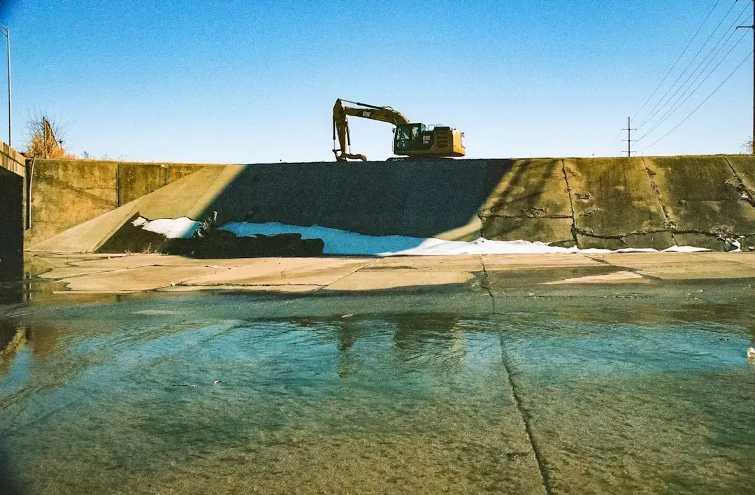
Road elevation projects are expensive enough that cities can rarely fix everything at once, which means choices about sequencing carry real consequences for who gets protected sooner. Norfolk’s experience has made this tension visible.
Residents in some of the city’s Southside neighborhoods pushed back after learning their areas would not receive the same protections as downtown. Residents of these neighborhoods, with predominantly Black populations, were furious to learn their communities would not get the same floodwall protections as downtown Norfolk. It’s a pattern showing up in other cities too, where the math of protecting high-value commercial districts first can leave residential streets waiting years longer for the same fix.
The work is never really finished once it starts
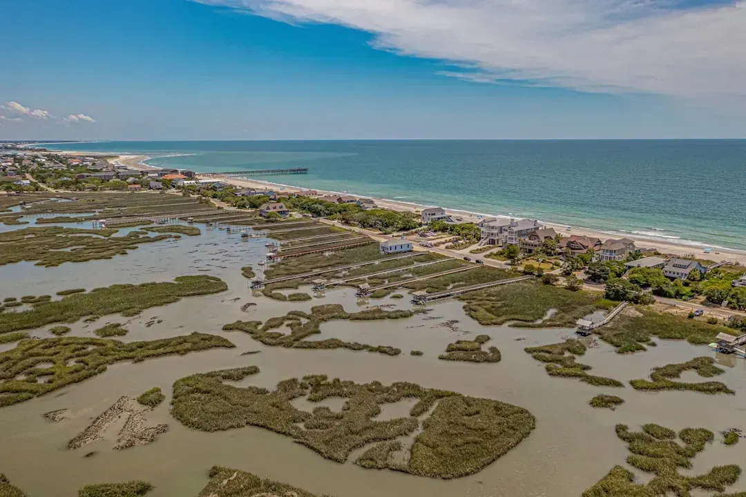
Perhaps the hardest thing for residents to accept is that road elevation isn’t a one-time fix. Because sea level projections keep shifting upward as new data comes in, today’s raised road can become tomorrow’s flood-prone one.
Pawleys Island’s own planning reflects this reality directly. Extreme tides that reach 5.25 feet a couple of times a year now are projected to occur every other day fifty years from now if current projections hold. That kind of moving target means towns essentially sign up for a rolling maintenance commitment rather than a single capital project, one that has to be budgeted for generation after generation.
The takeaway
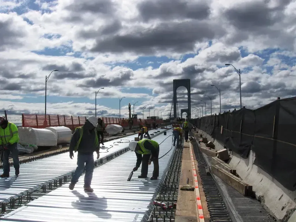
Elevating roads is not a glamorous fix. There’s no ribbon-cutting moment that captures the scale of what’s involved, just years of construction, detours, and budget line items that keep growing as sea level projections get revised upward. Yet for towns already watching their streets flood on calm, sunny days, the alternative, waiting until the water simply takes over, isn’t much of an alternative at all. The towns doing this work now are essentially buying time, foot by foot and inch by inch, for the decades still ahead.
