


- A Million-Mile Storm Raging for Centuries – 6 Violent Weather Wonders in Our System - November 14, 2026
- Animals Flee Hours Before the Tremor – 7 Natural Warnings Before Disasters Strike - November 14, 2026
- Lightning Splitting Trunks That Refuse to Die – 5 Old-Growth Trees Living on Decay - November 14, 2026
A shallow continental shelf that amplifies incoming water
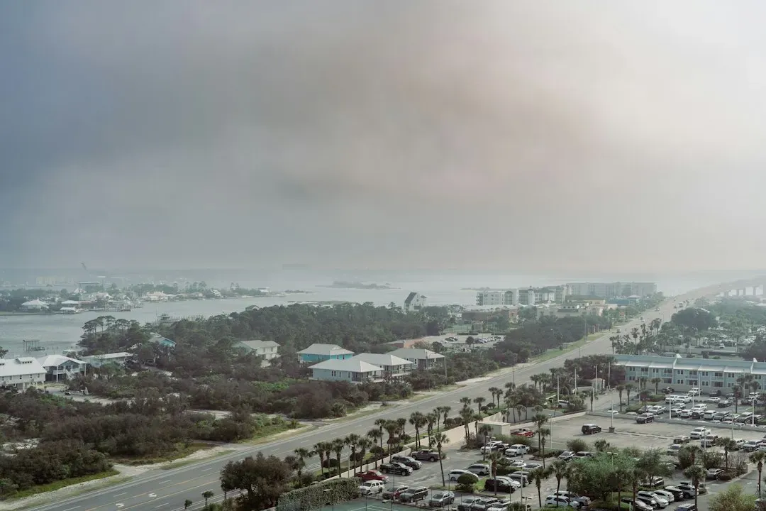
One of the most cited reasons for the region’s exposure is the unusually shallow water stretching far out into the Gulf. The city is located along the Gulf of Mexico and has an unusually far-reaching continental shelf. That shallowness matters because it changes how storm energy translates into rising water near the coast.
The waters are kind of shallow for hundreds of miles going into the Gulf, which really worsens the storm surge possibilities and impacts as this wall of wind and water moves toward land. Researchers describe the effect almost like water piling up against a barrier rather than dissipating outward, since the shallow waters and the “U” shape of the Gulf Coast can create an effect that intensifies the storm as it nears the shore, piling up near the shore.
The bay’s shape traps water instead of releasing it
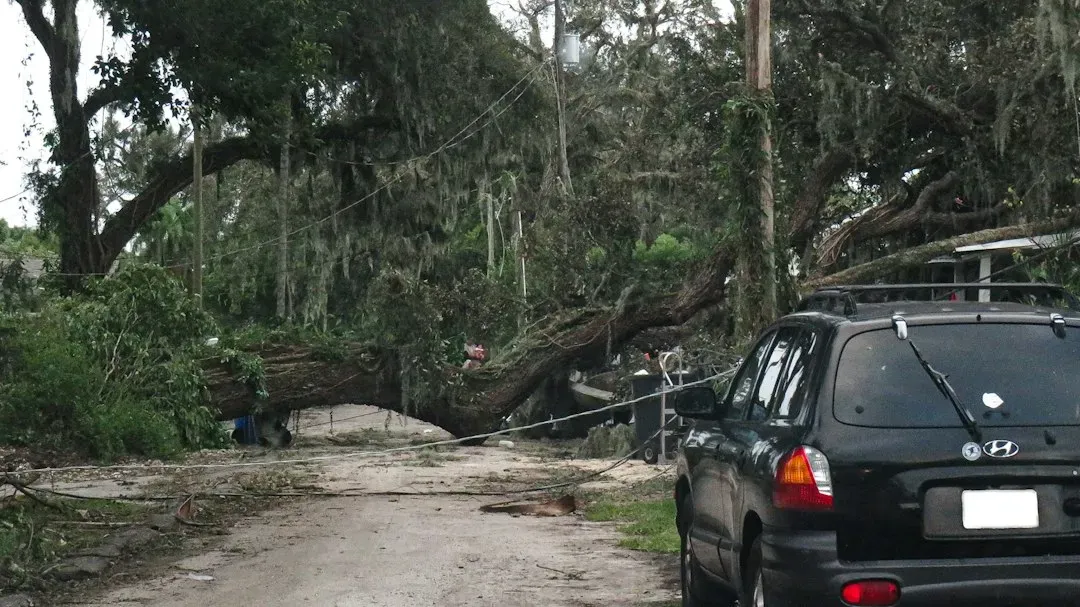
Tampa Bay itself is not a simple straight coastline. It’s an enclosed, funnel-like body of water, and that geometry works against residents during a hurricane. Strong persistent winds push a lot of water into the bay, and there’s nowhere for it to go, so it just builds up, since Tampa Bay is very surge-prone because of its orientation.
This trapping effect means that even storms that stay well offshore or make landfall elsewhere can still shove enormous volumes of water into the bay. The orientation essentially acts like a funnel pointed toward the densely populated shoreline, concentrating surge rather than letting it spread out and lose force.
It doesn’t take a direct hit to cause damage
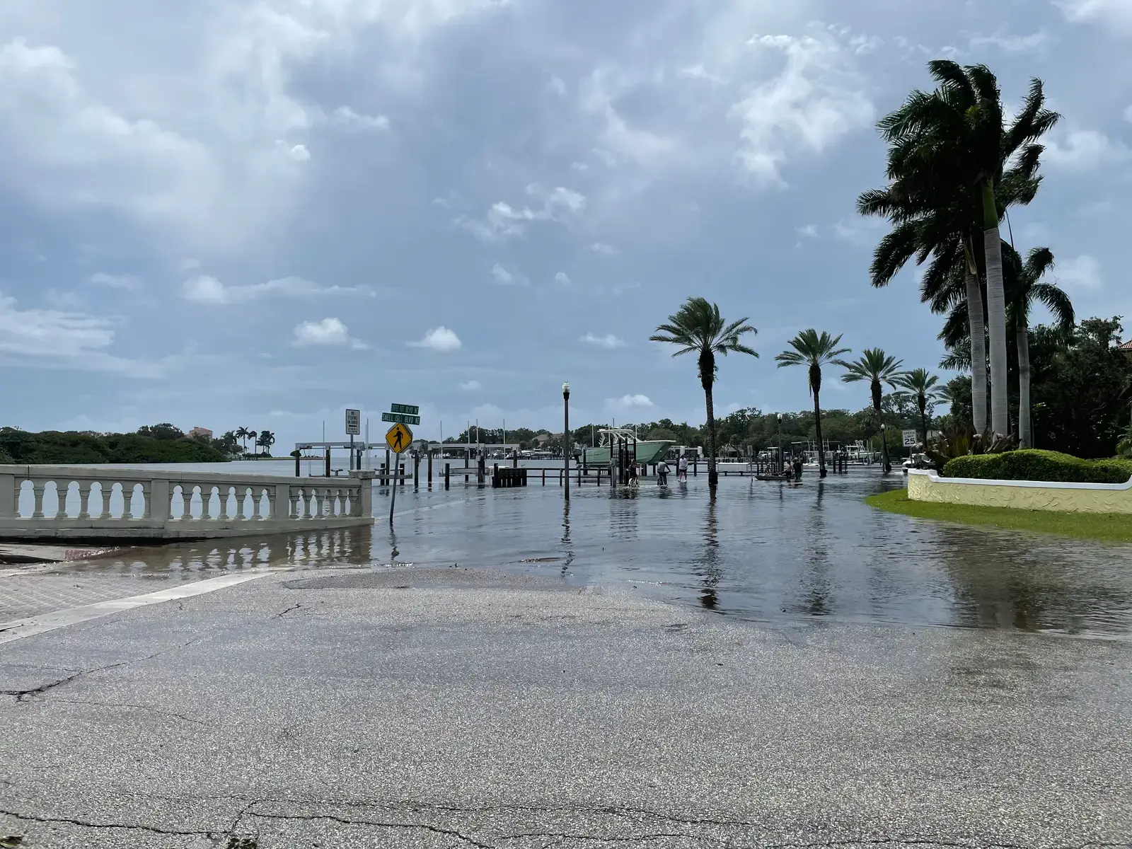
Perhaps the most counterintuitive fact about Tampa Bay is that a storm doesn’t need to make landfall nearby to flood it. The region experienced severe storm surges and widespread flooding in the wake of Hurricane Idalia in 2023, despite being more than 100 miles from the eye of the storm, with preliminary water measurements suggesting a possible surge record.
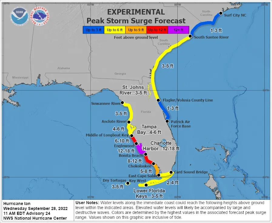
The same pattern repeated with Hurricane Helene in 2024. Hurricane Helene, which came ashore some 150 miles away from Tampa in the Florida Panhandle, still managed to cause drowning deaths in the Tampa area due to surges of around 5 to 8 feet above normal tide levels. A storm’s size, not just its strength, drives how much water ends up pushed onto shore, since larger systems keep water moving toward land for longer.
Low elevation across a densely built region
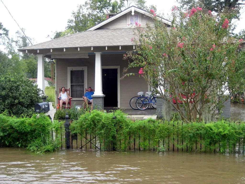
Beyond the water itself, the land that people actually live on compounds the danger. Experts warn that the area, with more than 700 miles of shoreline and 3 million residents, is at particular risk of hurricane damage, surrounded by the metropolitan areas of Tampa, Clearwater and St. Petersburg in the state’s most densely populated county, with barrier islands lining its Gulf coast and much of the region sitting at low elevation and naturally prone to flooding.
Barrier islands are especially exposed because they sit directly in the surge’s path with little elevation to buffer the impact. Neighborhoods built along these islands, from Treasure Island to Siesta Key, are essentially the first line of contact when water starts pushing inland.
Sea level rise is adding to an already fragile baseline
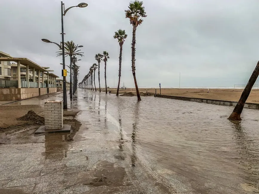
Climate change hasn’t created Tampa Bay’s vulnerability, but it has made an existing problem measurably worse. The region’s flood risk is exacerbated by rising sea levels, since since 1946 water levels in Tampa Bay have increased 7.8 inches, with a 2019 analysis projecting the region could see levels rise another 2 to 8.5 feet by 2100.
Higher baseline sea levels mean that any given storm surge starts from an elevated platform, pushing water further inland than it would have decades ago. Average sea levels for many Gulf Coast communities are more than six inches higher today than they were just a few decades ago, according to data.
A century-long gap since the last direct major hit
Part of what makes the region’s risk profile so unusual is how long it has gone without a true worst case scenario. It has been more than 100 years since Florida’s Tampa Bay area, a region especially vulnerable to storm surge and flooding, faced a direct hit by a major hurricane.
That long quiet stretch has allowed the metro area to grow enormously without ever truly testing its infrastructure against a direct Category 4 or 5 strike. The last time the eye of a major hurricane hit Tampa directly was in 1921. Emergency planners often point to this gap as a reason complacency can creep in, even as the underlying risk has only grown.
Explosive development has raised the stakes
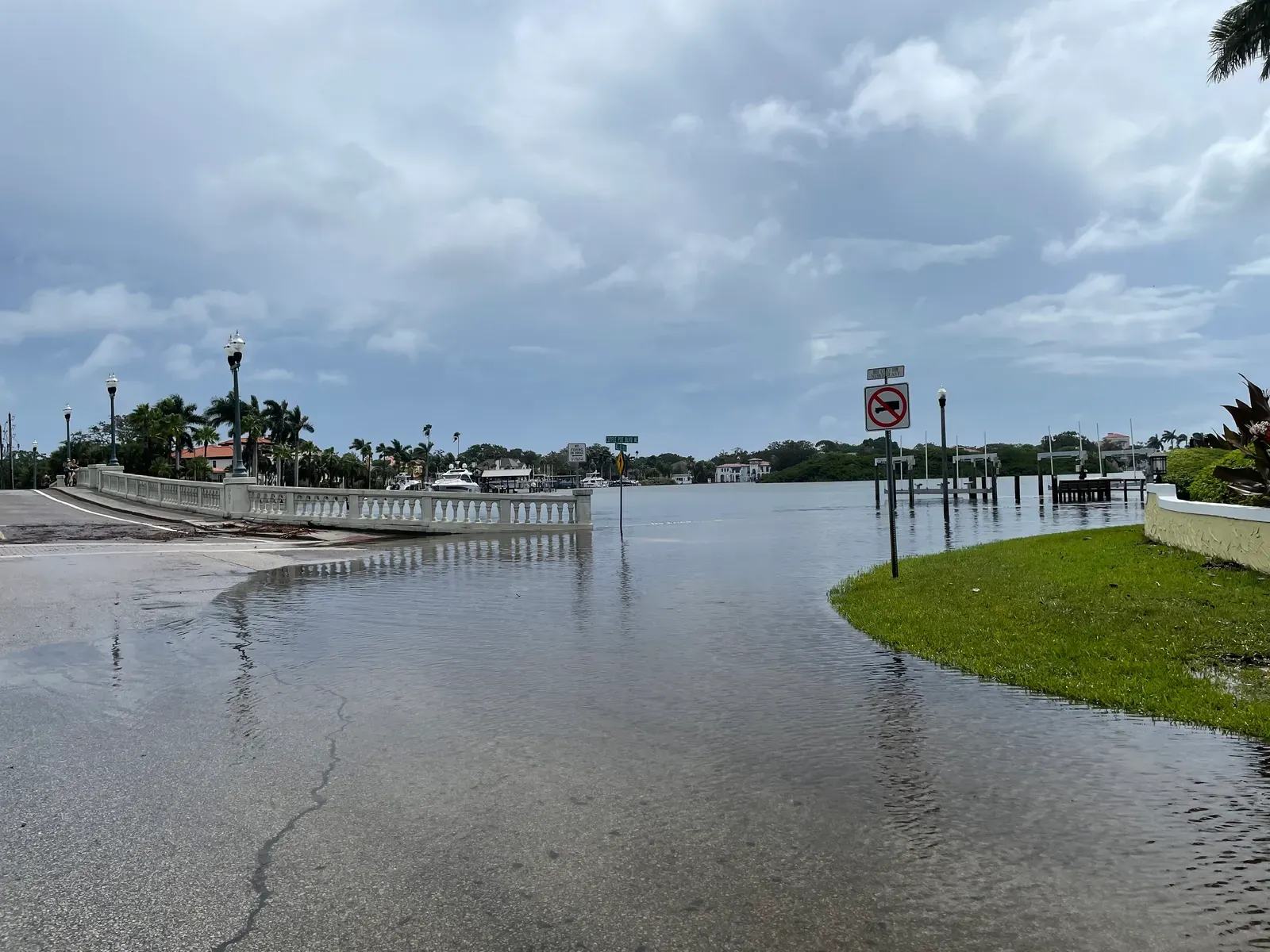
Geography alone doesn’t explain the scale of potential losses. What sits on top of that geography matters just as much. Geography and intense development leave the region extremely vulnerable to storm surge, even from weak storms, making Tampa Bay more vulnerable to less intense hurricanes than anywhere else in the state, a perilous position that is a matter of both geography and explosive development.
Decades of rapid population growth and construction along the waterfront mean far more property and far more people are now sitting in harm’s way than in previous generations. A storm that might have caused modest damage a half century ago now threatens billions of dollars in built-up value along the shoreline.
The 2024 hurricane season underscored the threat
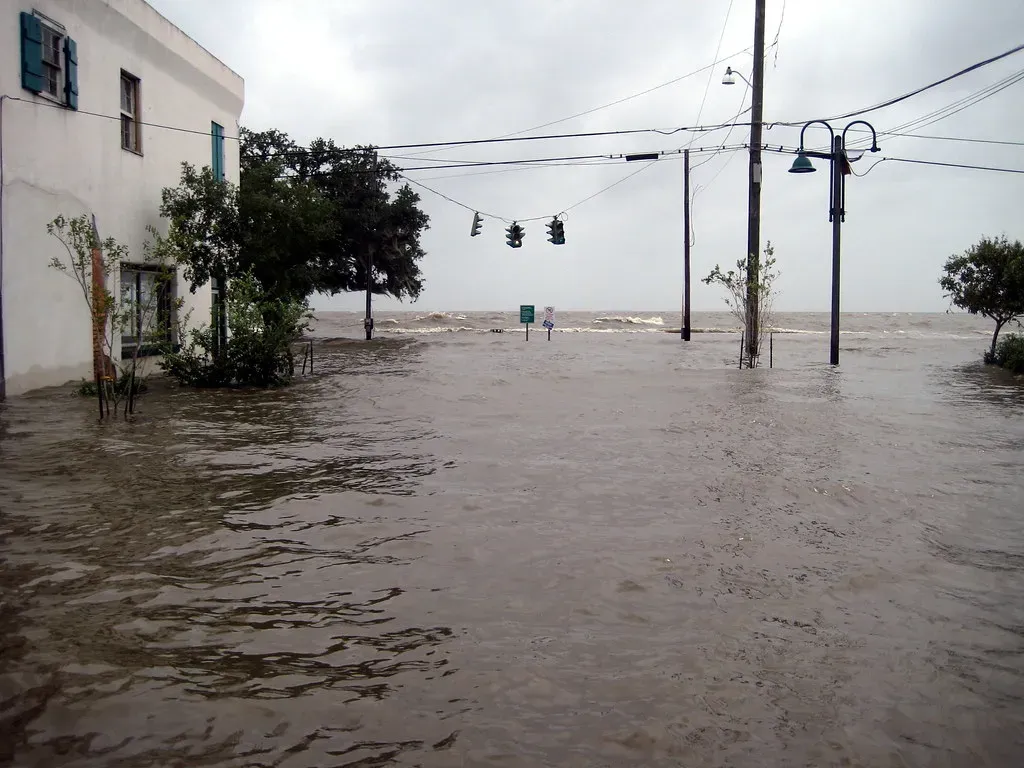
Recent history offered a stark, real-world demonstration of everything described above. Helene was the second storm of the 2024 season to make landfall in the region, roughly seven weeks after Hurricane Debby, making landfall with an estimated peak wind speed of 140 miles per hour and a forward motion of nearly 25 mph that brought devastating impacts well inland.
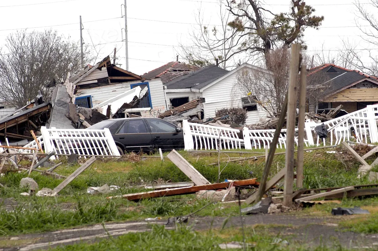
Just weeks later, Milton compounded the damage. While Hurricane Helene caused major storm surge, Hurricane Milton dropped a record amount of rain, with 18 inches falling in St. Petersburg in 24 hours and Tampa seeing about one foot of rain in one day. In Pinellas County, the aftermath was severe: first responders rescued more than 500 people from the Standard Apartments in Clearwater when it flooded, with water neck-deep in some areas, making it the county’s largest water rescue on record.
Financial exposure is measured in the hundreds of billions
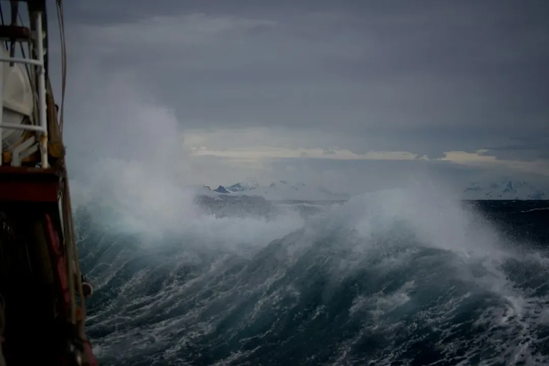
The dollar figures attached to a worst case scenario are staggering enough to draw attention from insurers and federal agencies alike. Tampa has been deemed the single most vulnerable city to storm surge flooding in the country, with projected damages to residential, commercial and industrial properties from a hypothetical 100 year hurricane estimated at about $175 billion.
A separate analysis put the number even higher for a specific worst case track. According to a 2015 report by Karen Clark and Company on the most vulnerable U.S. cities to storm surge flooding, a 1 in 100 year storm, a strong Category 4 hurricane with 150 mph winds, striking just north of Tampa Bay could be expected to cause $230 billion in damage in 2024 dollars, just from the storm surge.
Wind, tide timing, and storm speed all play a role
Storm surge outcomes in Tampa Bay depend on more than just a hurricane’s category. Timing relative to the tides and the storm’s forward speed can swing the outcome dramatically. Wind speeds are also a factor, since slow moving storms are more likely to cause higher water levels at gauges in the bay because there is more time to pound water inside and trap it there.
Faster moving storms behave differently, pushing water onto the open coast rather than pooling it inside the bay itself. Storms with faster winds cause more flooding to communities on the open coast by shoveling and pushing water into the shoreline. This variability is part of why forecasters are cautious about giving residents a single, simple number to plan around, since the same storm strength can produce very different outcomes depending on speed and tidal timing.
