

It’s a scenario that plays out every tornado season across the country: a watch is issued, but the sun is still out, the air feels almost calm, and it just doesn’t look like tornado weather. So people carry on with their day, skip the preparations, and quietly decide that this one probably won’t amount to anything. That instinct is understandable. It is also potentially deadly.
The gap between a clear sky and a violent tornado is far shorter than most people realize. Atmospheric ingredients for deadly storms can be fully assembled hours before a single dark cloud appears. Understanding what a tornado watch actually means – and why it demands your attention regardless of current conditions – could one day save your life or the lives of people around you.
A Watch Is Not a False Alarm – It’s a Forecast
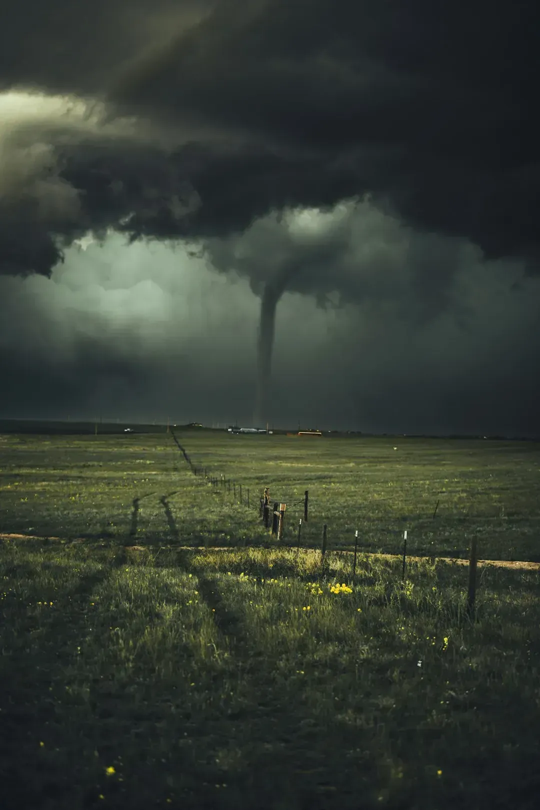
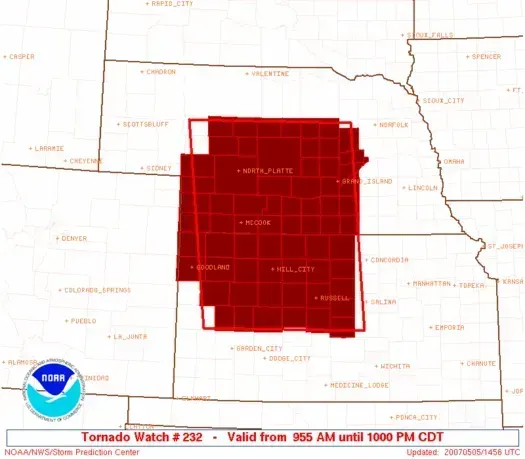
A tornado watch is issued by NOAA Storm Prediction Center meteorologists who monitor weather conditions 24/7 across the entire country for atmospheric conditions favorable to tornadoes and severe weather, and a single watch can cover parts of one state or span several states. It is not a reactive alert. It is a proactive, scientific assessment that the building blocks for violent storms are already in place. That distinction matters enormously.
A tornado watch is issued when atmospheric conditions are ripe for tornadoes – for example, when strong thunderstorms with rotation might develop. Watches often cover very large areas, including multiple counties or even entire states, and can last several hours. The clear sky you see outside is irrelevant to that calculation. What meteorologists are looking at are wind shear values, moisture levels, and atmospheric instability that are invisible to the naked eye but very visible to trained forecasters and radar systems.
The Dangerous Psychology of a Calm Sky
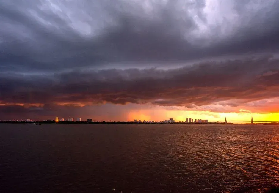
Human beings are wired to trust what they can see. When the sky overhead looks peaceful, the brain tends to dismiss abstract warnings as background noise. This cognitive disconnect is one of the most consistently dangerous behaviors emergency managers observe during severe weather events. A watch is issued hours in advance precisely because the storm hasn’t arrived yet – and that window of calm is the time to act, not a reason to relax.
Tornadoes often come after a thunderstorm passes, at which point the sky can appear calm and clear again – but that apparent calm could indicate a tornado is about to take shape. The rear flank downdraft of a supercell, for instance, can briefly clear the sky right before the most dangerous rotation descends. What looks like improving weather is sometimes the most hazardous moment of the entire storm cycle.
The Numbers Behind the Threat
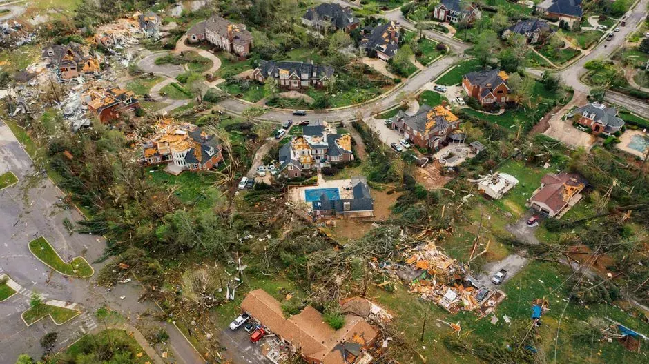
The year 2024 went down as the second-worst tornado season on record, with 1,735 confirmed tornadoes in the United States from nearly 1,880 preliminary reports. According to the New York Times, 2024 was the most intense year for tornadoes in a decade. These aren’t distant statistics. They represent communities that woke up to a sunny morning, saw a watch in effect, and in some cases did not prepare in time.
2025 continued that alarming momentum, with a major increase in activity starting in March as conditions became highly favorable for outbreaks – including the first EF5 tornado since 2013, which struck near Enderlin, North Dakota in June. The largest-ever March tornado outbreak on record struck much of the Midwest and Southeast from March 13 to 16, 2025, with over 118 confirmed tornadoes and winds approaching 190 mph. Every one of those events was preceded by a tornado watch.
You Have Very Little Time Once a Warning Is Issued
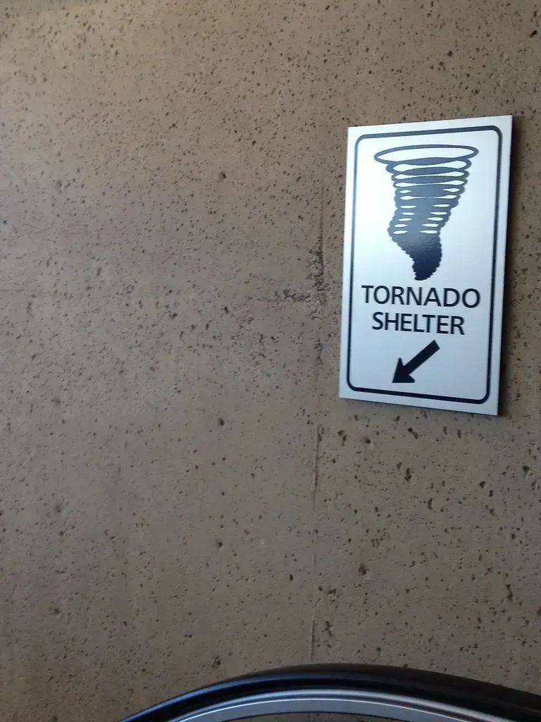
The critical reason a watch deserves your immediate attention is what comes after: the warning. Once a tornado warning is issued, the clock is already close to expiring. The current average lead time for tornado warnings is just 13 minutes. That is 13 minutes to find shelter, get children and elderly family members to safety, and locate a sturdy interior room – not nearly enough time if you haven’t already prepared during the watch phase.
For weak tornadoes, the average lead time for accompanying warnings drops to roughly 8 to 10 minutes, partly because weaker and shallower radar signatures are often tougher to detect ahead of time. One study found that the travel time from manufactured homes in Alabama to the closest severe weather shelter sometimes exceeded the length of the advanced warning altogether. The watch is not a formality – it is your real head start.
Night Tornadoes Make Preparedness Even More Critical
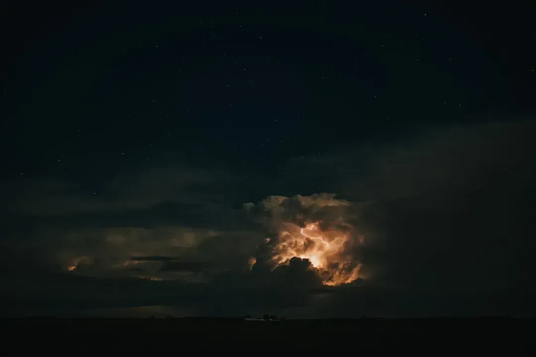
If you think you can simply watch the sky and react when things look bad, nighttime tornadoes remove that option entirely. Tornadoes that strike after dark are significantly more deadly – nearly twice as fatal as their daytime counterparts – and they are becoming more common as a warming climate shifts when and where severe storms form. Being asleep during an active tornado watch, without a plan or an alert device in place, is one of the most vulnerable positions a person can be in.
Many people in the path of a nighttime tornado are simply asleep. Being a sound sleeper or not having a way to receive warnings overnight can have deadly consequences. Research covering tornado records from 1950 to 2019 found that at least 30 percent of all tornadoes touched down at night for 13 states stretching from Oklahoma to West Virginia. A tornado watch issued in the evening, when the sky still looks quiet, is precisely the moment to prepare your shelter plan and set up overnight alerts.
The PDS Watch: When the Risk Is Exceptional
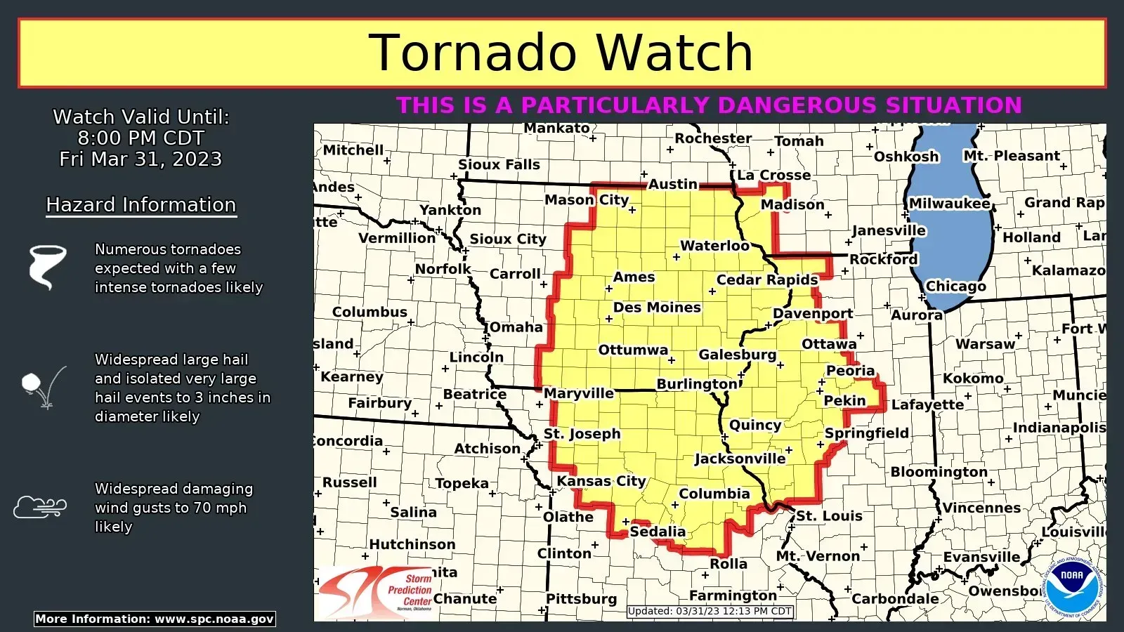
Not all tornado watches carry the same level of urgency, and knowing the difference can sharpen your response. When a weather situation is particularly life-threatening, the National Weather Service will issue what’s known as a “PDS” – Particularly Dangerous Situation – watch or warning, reserved for the most extreme events, such as a confirmed violent tornado moving toward a city or widespread, catastrophic conditions. When you see those three letters in an alert, the threat has been elevated beyond typical watch language.
The Storm Prediction Center may enhance a public tornado watch notification by using the words “This Is a Particularly Dangerous Situation” when there is a strong likelihood of multiple strong tornadoes rated EF2 or EF3, or violent tornadoes rated EF4 or EF5. During the deadly March 2025 outbreak, PDS language appeared in watch products hours before the most destructive tornadoes touched down. Communities that acted on those early watches had precious extra time. Those that waited for a warning often did not.
Tornado Alley Is Shifting – So the Threat Is No Longer “Someone Else’s Problem”
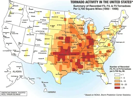
Millions of Americans have grown up believing tornadoes are primarily a problem for Oklahoma and Kansas. That mental map is increasingly outdated. According to a report published in the April 2024 issue of the Journal of Applied Meteorology and Climatology, since 1951 tornado activity has been shifting away from the Great Plains and toward the Midwestern and Southeast United States. The number of days with meteorological conditions conducive to tornadoes has declined for parts of the original Tornado Alley, while tornado days have increased significantly east of the Mississippi River.
There is a greater risk to human life when tornado activity shifts eastward, largely because of higher population density and a larger number of residents living in manufactured homes, combined with limited road networks and decreased visibility caused by trees and hilly terrain. Ohio, for example, recorded 71 tornadoes in 2024 – more than the average annual count for Oklahoma, the storm-prone center of the original Tornado Alley. Ignoring a watch because “it doesn’t happen here” is no longer a reasonable assumption for large parts of the country.
What You Should Actually Do During a Watch
A tornado watch is an active window of preparation, not passive waiting. The NWS advises that during a watch you should “review and discuss your emergency plans, take inventory of your supplies and check your safe room.” That means knowing where in your home you will shelter, making sure family members are informed, checking that your phone alerts are on, and identifying the safest interior room – ideally on the lowest floor, away from windows and exterior walls.
A new system currently being tested by the National Severe Storms Laboratory could eventually provide up to two hours of advance notice for tornadoes, damaging winds, and flash floods – giving people more time to reach safety. Until that technology is widely operational, though, the tornado watch remains the best early warning tool available to the public. Treating it seriously is not an overreaction. It is simply the correct response to a credible, science-based threat signal from the people whose entire job is to keep you alive.
The Watch Is Your Real Window – Don’t Waste It
The tornado warning gets all the urgency, and rightfully so. But by the time it sounds, your best opportunities for calm, deliberate preparation have already passed. The watch is where smart behavior begins. It is the alert that says the atmosphere is loaded, the forecasters are watching, and the worst may be coming – with or without a dramatic sky to announce it first.
Respecting a tornado watch, even on a seemingly ordinary afternoon, is one of the simplest and most effective things any person can do to improve their odds during one of nature’s most unpredictable and violent events. The sky may look clear. The science says otherwise. Trust the science.

- The Shoreline Sucked Dry in Seconds – 5 Tsunami Signals Beachgoers Mistake for Low Tide - November 14, 2026
- 9 Dark-Sky Destinations Around the World Where the Stars Look Unreal - November 14, 2026
- The Fault Line That Never Slips – 7 Locked Seismic Zones Overdue for a Massive Release - November 14, 2026
