

A weather forecast today feels almost ordinary. You glance at your phone, see a cloud swirl over the ocean, and decide whether to pack an umbrella. Before satellites, forecasters had no view of most of the planet, and storms over open water could arrive with little warning.
The change didn’t come from one leap. It came from a series of launches, each adding a new way of seeing the atmosphere. Here are ten that mattered most, arranged roughly in the order they reshaped the field.
TIROS 1 (1960)
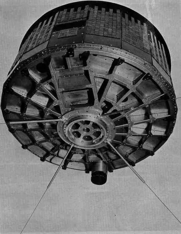
TIROS 1 went up on April 1, 1960, and is widely recognized as the first successful weather satellite. It carried television cameras and sent back pictures of cloud patterns from orbit. For the first time, people could see weather systems as whole structures instead of scattered local reports.
The mission lasted only about 78 days, which sounds brief. Even so, it proved that cloud imagery from space was practical and useful for forecasting. Nearly every later weather satellite builds on that idea.
ATS 1 (1966)
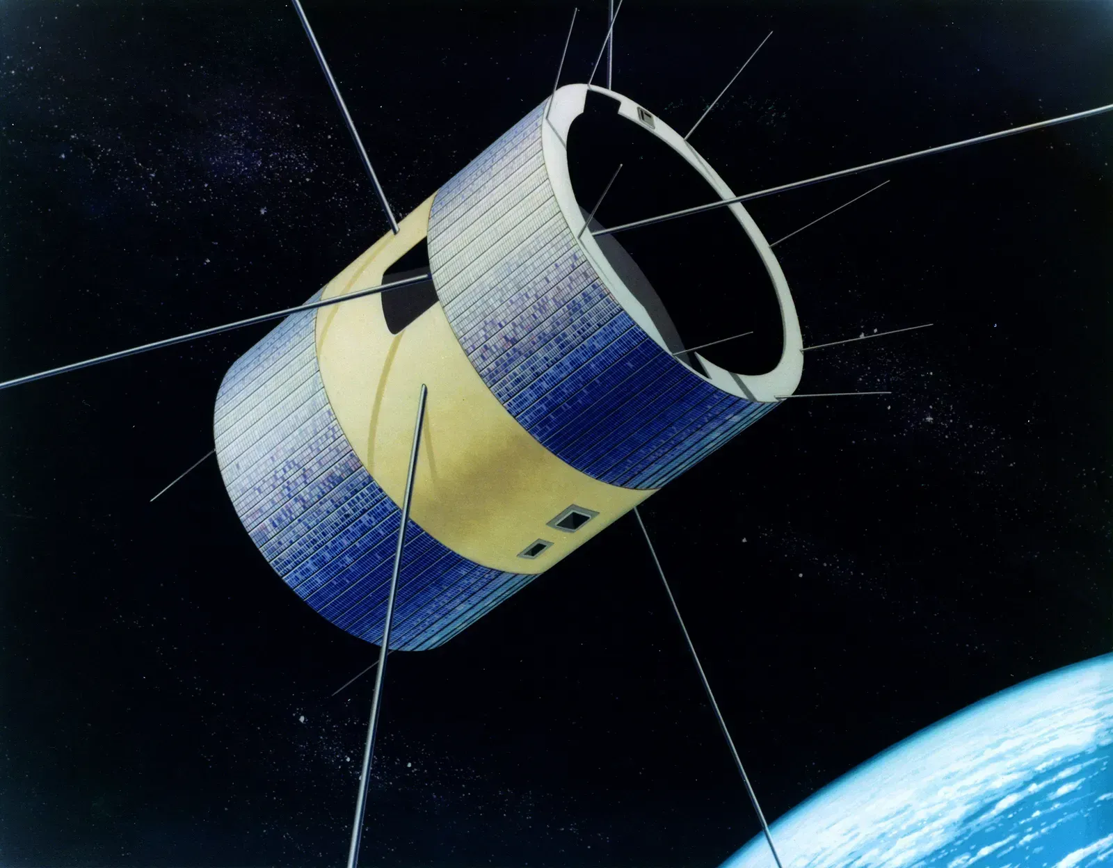
Launched in December 1966, NASA’s Applications Technology Satellite 1 sat in geostationary orbit, roughly 22,000 miles above the equator. From there it stayed over one spot on Earth. A camera developed by Verner Suomi’s team let it capture repeated views of the same region.
Those repeated views could be stitched into loops, showing clouds moving and storms growing. That is the basis of the animated satellite imagery you see on the evening news. Polar orbiters gave forecasters snapshots, while ATS 1 showed them motion.
GOES 1 (1975)
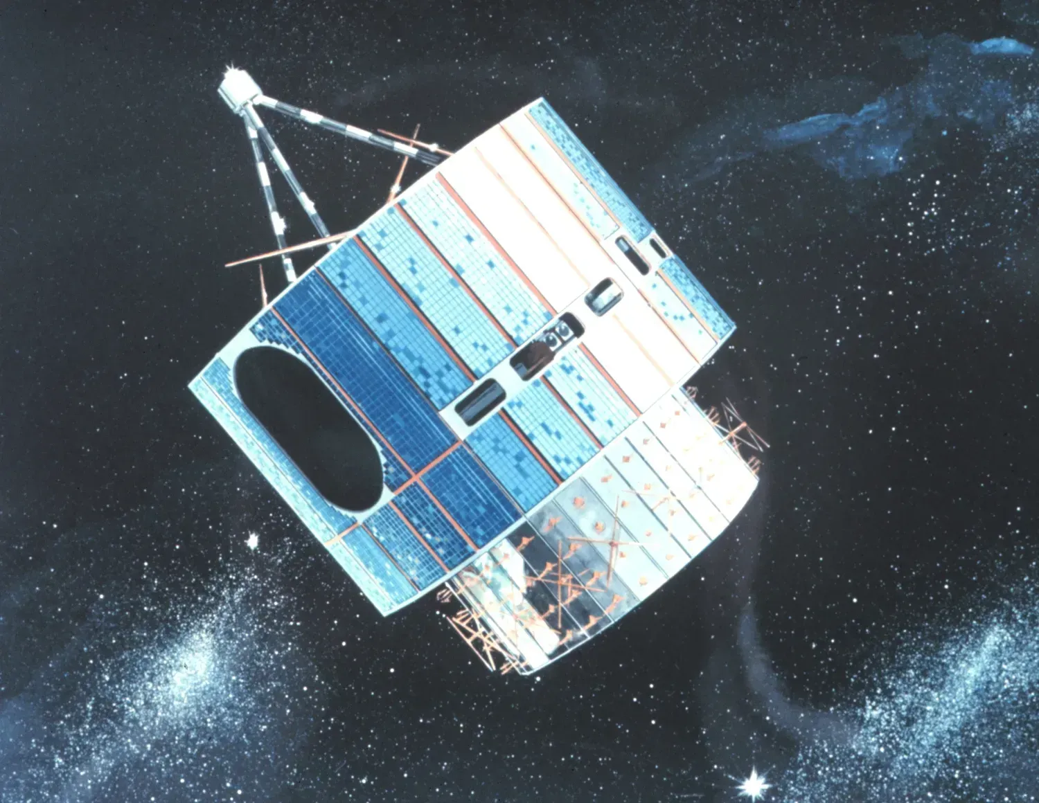
NOAA describes 1975 as the year the first GOES satellite launched, kicking off a partnership with NASA. Since the first GOES satellite launched in 1975, NOAA and NASA have partnered to advance NOAA’s satellite observations from geostationary orbit. The program turned experimental geostationary viewing into a steady operational service.
That continuity is easy to overlook. Forecasters could count on a satellite always watching the same part of the hemisphere, year after year. The GOES program marked its 50th anniversary in 2025.
Meteosat 1 (1977)
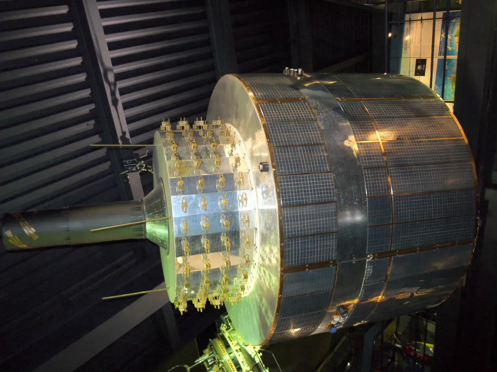
Meteosat 1 launched in November 1977 as Europe’s first geostationary weather satellite. It gave European forecasters a view of the Atlantic, Europe, and Africa from a fixed point in space. Africa’s weather patterns, which feed into storms elsewhere, became far easier to track.
The program eventually grew into an organization of its own. EUMETSAT was established in 1986 to run Europe’s operational weather satellites. The Meteosat family is still central to forecasting across the continent.
TIROS N (1978)
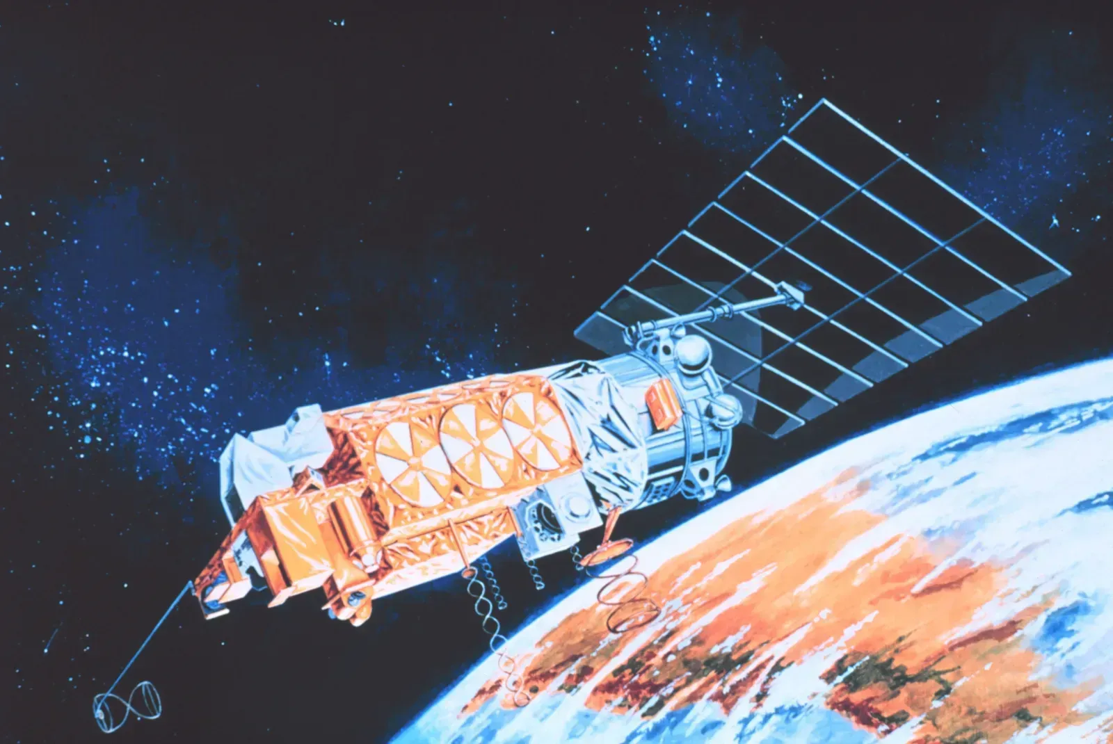
TIROS N, launched in October 1978, was the prototype for a new generation of polar orbiting satellites. Beyond cameras, it carried sounding instruments that measured temperature and moisture at different levels of the atmosphere. Those vertical profiles fed directly into computer forecast models.
This shift mattered as much as any picture. Forecasts had started to depend on numerical models, and models need measurements, not just images. The NOAA polar series that followed kept that approach going for decades.
MetOp A (2006)
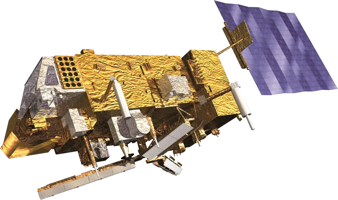
MetOp A launched in October 2006 as Europe’s first polar orbiting operational weather satellite. Its infrared sounder, IASI, measures temperature and humidity in fine vertical detail. Forecasting centers feed that data into their models every day.
Polar orbiters like this circle the Earth and cover the whole globe in strips. That includes remote oceans and polar regions where ground stations barely exist. Later MetOp satellites carried on the same mission.
Suomi NPP (2011)
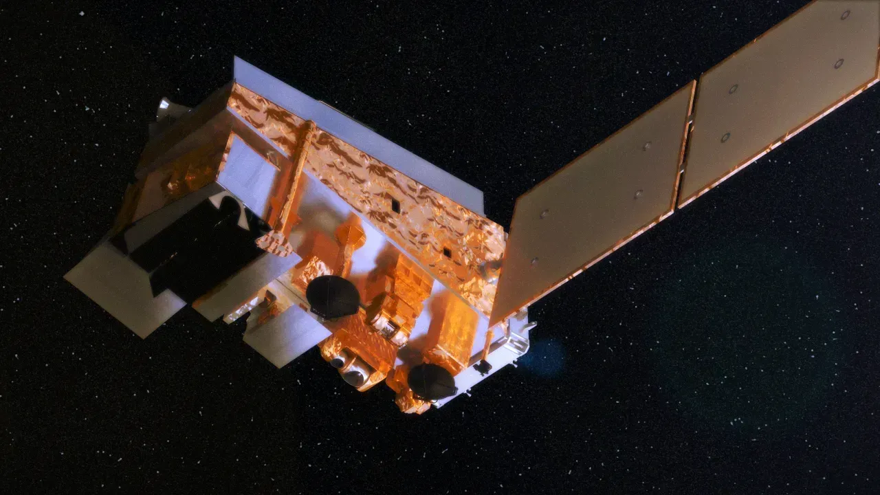
Suomi NPP launched on October 28, 2011, and carried several new instruments, including VIIRS, CrIS, and ATMS. It served as a bridge between older NOAA polar satellites and the Joint Polar Satellite System that followed. The name honors Verner Suomi, whose work on satellite meteorology shaped the field.
Its imager offered sharper views of clouds, fires, and sea ice, including at night. Its sounders improved the temperature and moisture profiles that feed forecast models. It proved out technology that later NOAA satellites adopted.
Himawari 8 (2014)
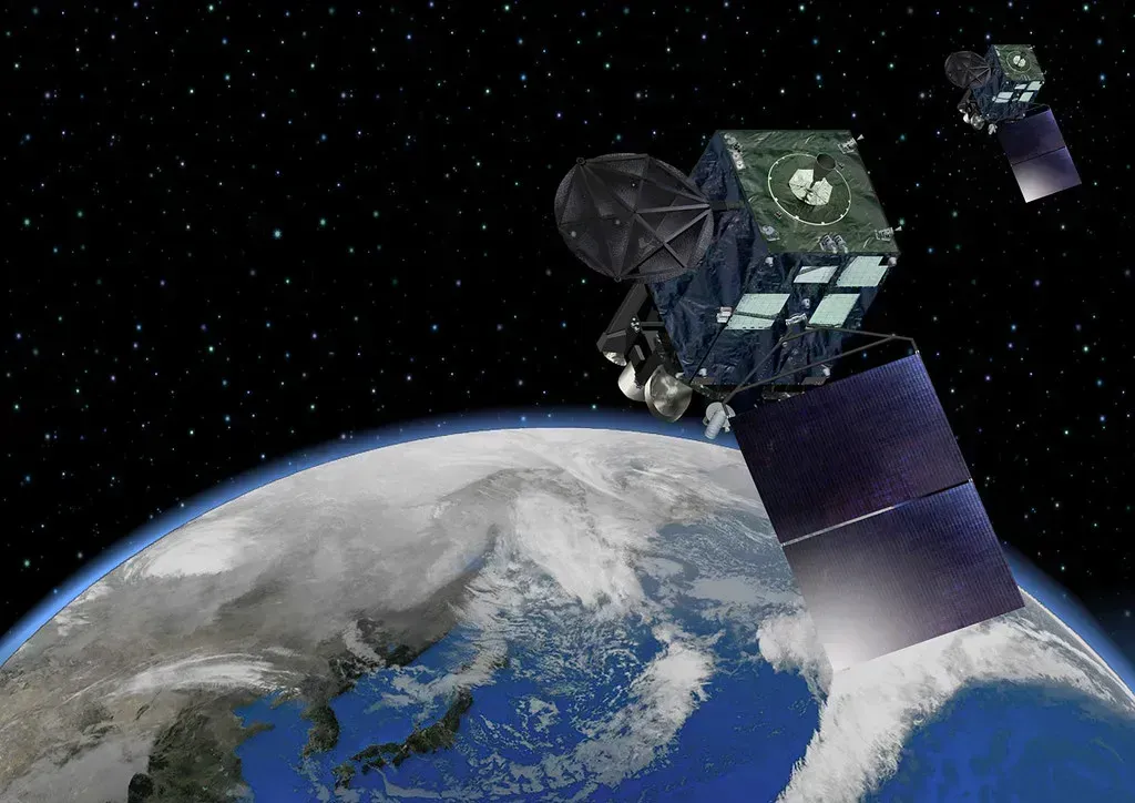
Japan launched Himawari 8 on October 7, 2014, and it began operations in 2015. It has sixteen imaging bands and scans the full disk of the Earth every ten minutes. That was a major upgrade over the older generation, which imaged far less often and with fewer channels.
Forecasters across East Asia and the western Pacific gained a much sharper view of typhoon development. It also helped track volcanic ash and fast growing thunderstorms. Himawari 8 set a standard that other agencies followed.
GOES 16 (2016)
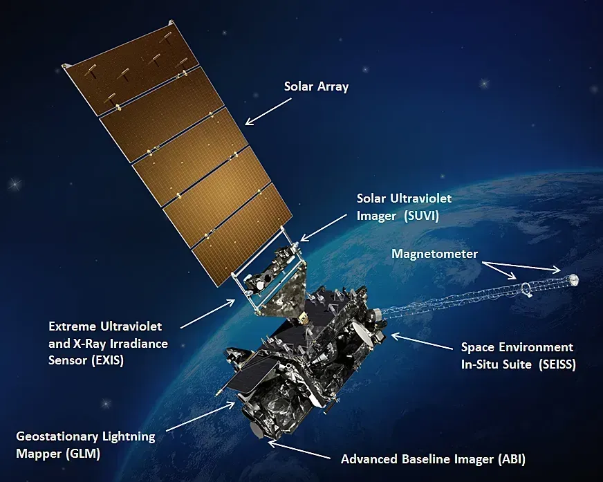
The GOES R series began when GOES R launched on 19 November 2016 and was renamed GOES 16 once it reached orbit. It carried the Advanced Baseline Imager, with sixteen spectral bands, and a Geostationary Lightning Mapper, which detects lightning across the hemisphere. The lightning data helps forecasters spot storms intensifying before radar shows it clearly.
Compared with the previous GOES generation, images arrived faster and in much finer detail. Hurricane forecasters gained a clearer look at storm structure, and wildfire teams got quicker smoke and heat detection. The GOES R program was designed to extend the GOES system through the middle of the 2030s.
GOES 19 (2024)
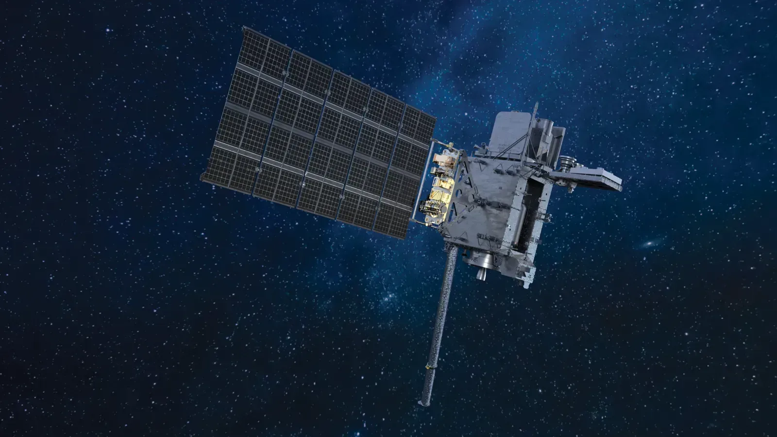
GOES U, now GOES 19, was launched on 25 June 2024, and it flew aboard a Falcon Heavy rocket. It was the fourth and final satellite of the GOES R series. It also carries a coronagraph to watch the Sun’s outer atmosphere, which supports space weather forecasting.
On April 7, 2025, GOES 19 replaced GOES 16 as NOAA’s operational GOES East satellite. It monitors hurricanes and tropical storms in the Atlantic, and it tracks events such as atmospheric rivers, volcanic eruptions, and wildfires. GOES 16 now serves as a backup for the operational constellation.

- The Shoreline Sucked Dry in Seconds – 5 Tsunami Signals Beachgoers Mistake for Low Tide - November 14, 2026
- 9 Dark-Sky Destinations Around the World Where the Stars Look Unreal - November 14, 2026
- The Fault Line That Never Slips – 7 Locked Seismic Zones Overdue for a Massive Release - November 14, 2026
