

There’s something unsettling about the idea that the ground beneath your feet is slowly moving downward, millimeter by millimeter, year after year. It doesn’t shake. It doesn’t crack open dramatically. It just descends, so gradually that most people living above it have no idea it’s happening at all. Yet for tens of millions of Americans, this is exactly what’s unfolding right now.
Using space geodetic measurements collected between 2015 and 2021, researchers created high-resolution maps of subsidence rates for the 28 most populous U.S. cities and found that at least a fifth of every urban area studied is sinking, mainly due to groundwater extraction, affecting roughly 34 million people. The problem cuts across geography, climate, and geology. From the bayous of Louisiana to the farmlands of California’s interior, six distinct U.S. regions are experiencing ground shifts that are steadily reshaping the risks faced by the people and infrastructure above them.
The U.S. Atlantic Seaboard: Cities Sinking Into the Sea
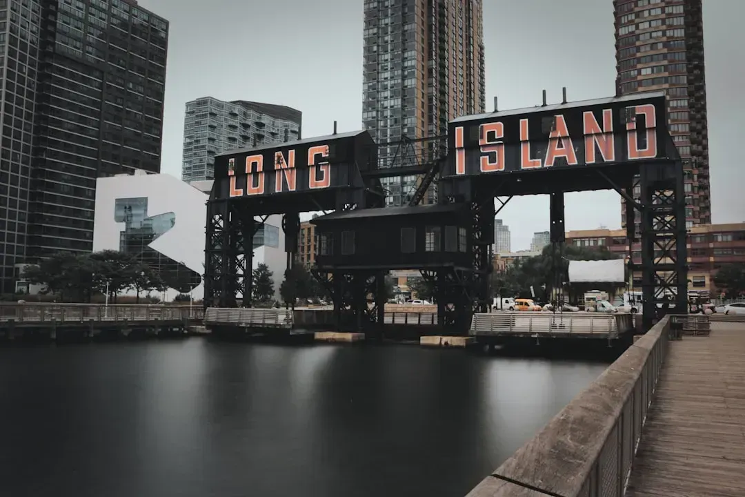
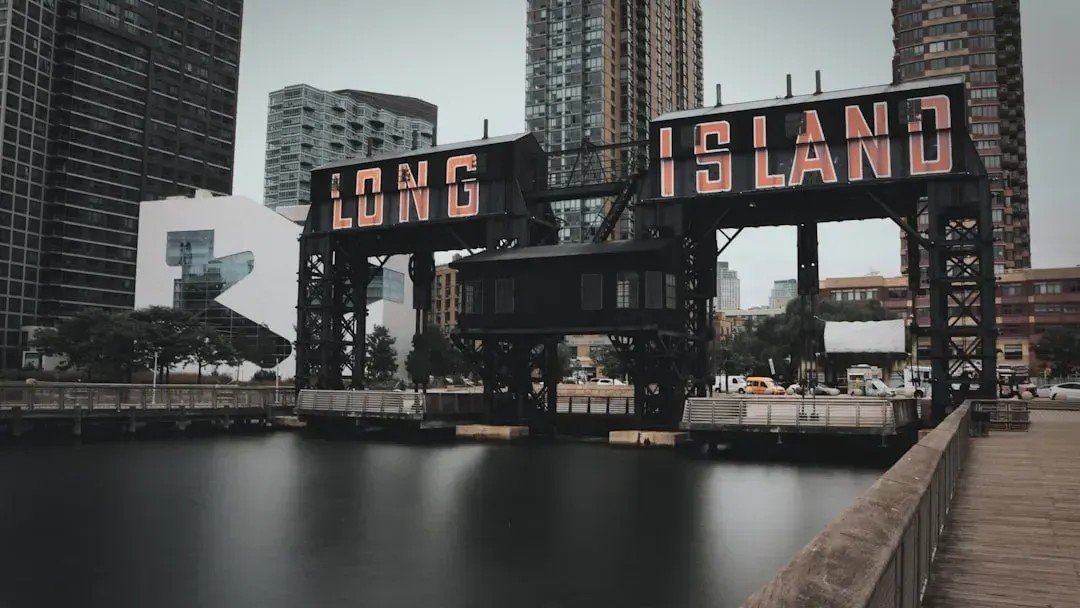
Major cities on the U.S. Atlantic coast are sinking, in some cases by as much as 5 millimeters per year, a rate that well outpaces global sea level rise. Particularly hard-hit population centers such as New York City, Long Island, Baltimore, and Virginia Beach and Norfolk are seeing areas of rapid subsidence alongside more slowly sinking or relatively stable ground, increasing risk to roadways, runways, building foundations, rail lines, and pipelines.
In New York alone, significant areas of critical infrastructure, including JFK and LaGuardia airports and their runways, along with rail systems, are affected by subsidence rates exceeding 2 millimeters per year, with potential damage to infrastructure and increased flood risks both now and into the future. Researchers found that more than half of the infrastructure in major cities such as New York, Baltimore, and Norfolk is exposed to subsidence rates between 1 and 2 millimeters per year, affecting millions of people and hundreds of thousands of properties.
The Gulf Coast Region: New Orleans and the Sinking Delta
New Orleans is built on soft, marshy land formed by centuries of Mississippi River sediment. Over time, that land naturally compresses and sinks through a process called subsidence, but human intervention has accelerated the decline. Historically, the Mississippi River flooded regularly, depositing fresh sediment that helped rebuild the land. In the 20th century, levees and canals were built to protect the city and control the river. While that prevented flooding, it also cut off the natural process that kept New Orleans afloat. As a result, the city began to sink faster than it could rebuild itself.
Parts of New Orleans and its surrounding wetlands are gradually sinking, and a study from Tulane University researchers suggests that sections of the region’s 15-billion-dollar post-Katrina flood protection system may need regular upgrades to outpace long-term land subsidence. The study used satellite radar data to track subtle shifts in ground elevation across Greater New Orleans between 2002 and 2020, and found that some neighborhoods, wetlands, and even sections of floodwalls are sinking by more than an inch per year, with some areas experiencing up to 47 millimeters of elevation loss annually. Researchers noted that cities in the Gulf Coast are sinking the fastest overall, and that New Orleans will face the largest exposure of people, property, and land to high-tide flooding by 2050, partly because the city already sits below sea level.
The Texas Gulf Prairie: Houston’s Century of Subsidence
The Greater Houston region has undergone substantial land subsidence over the past century, with particularly rapid sinking occurring from the late 1940s to the 1970s. The establishment of the Harris-Galveston Subsidence District in 1975 marked a pivotal milestone in managing the problem, primarily by regulating previously uncontrolled groundwater extraction. By 2024, significant subsidence of more than 0.3 meters had impacted an area of approximately 12,000 square kilometers, encompassing nearly all of Harris and Galveston Counties. This subsidence led to an irreversible loss of roughly 12 cubic kilometers of groundwater storage capacity, equivalent to 60 times the volume of Lake Houston.
Certain parts of Houston are sinking by as much as 10 millimeters per year, according to research published in Nature Cities. The highest current subsidence rate, approximately 3 centimeters per year since 2020, occurs in the Katy area of Fort Bend County. Researchers found a strong correlation between the vertical deformation of cities like Houston and modern changes in groundwater levels, suggesting that by easing up on groundwater extraction, cities could potentially slow their sinking lands.
California’s Central Valley: The Agricultural Sink
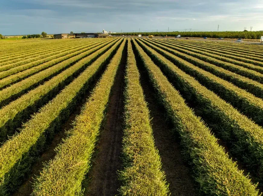
As large amounts of groundwater are extracted, layers of sediment and clay can collapse and cause the land surface to subside. In one area of the Tule subbasin west of Tipton, the ground has sunk more than seven feet since 2015 alone. About 3.5 feet of land subsidence has been measured since 2015 along parts of the Friant-Kern Canal.
The sinking of land in the Central Valley due to over-pumping of groundwater has already restricted the amount of water the State Water Project can deliver in a year by roughly 3 percent. By 2043, if no action is taken, the current trajectory of subsidence combined with climate change could reduce water deliveries by as much as 87 percent. The State Water Project helps supply water to 27 million Californians and 750,000 acres of farmland. California’s Sustainable Groundwater Management Act, introduced in 2014, mandates local agencies to balance groundwater use by the 2040s, but the effects of land subsidence have been intensifying while progress under the act has been slow, and climate change, rising temperatures, and longer droughts are complicating water sustainability.
The Midwest Industrial Belt: Chicago, Detroit, and Inland Sinking
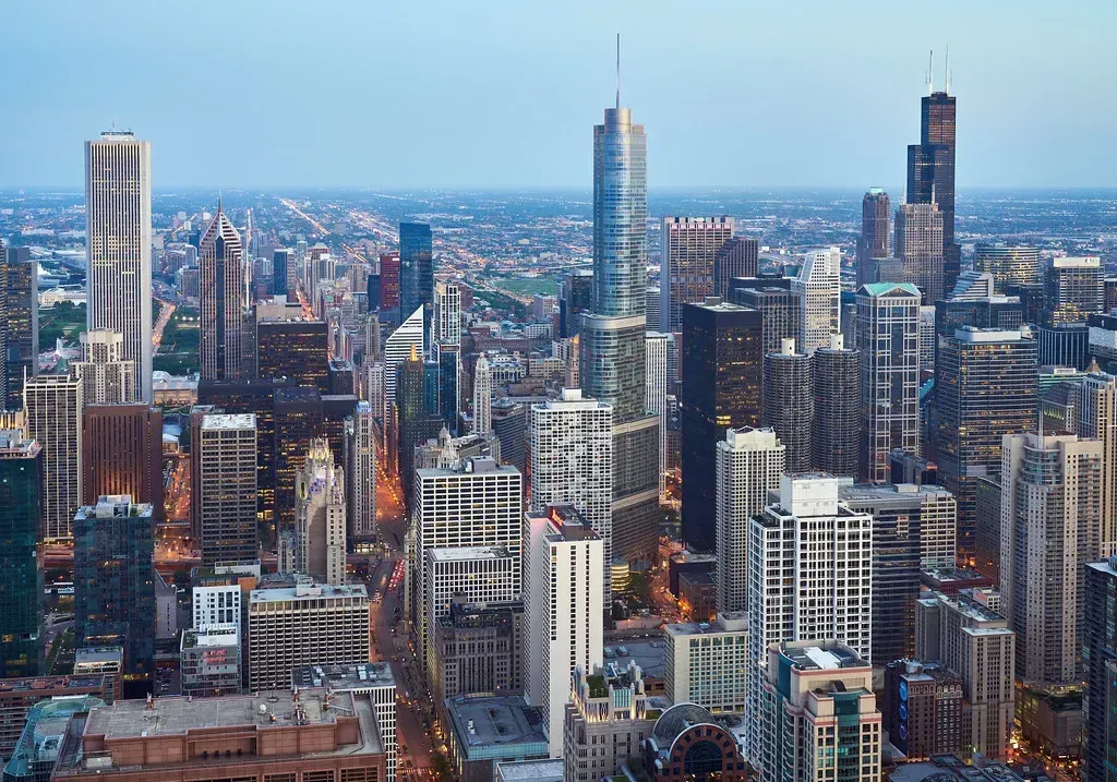
Chicago, Dallas, Columbus, Detroit, Fort Worth, Denver, New York, Indianapolis, Houston, and Charlotte are seeing the most widespread land sinking, with nearly 98 percent of their land areas affected. The Midwest cities in that group stand out because their sinking is often disconnected from coastlines or river deltas. The causes here are more distinctly urban: decades of groundwater withdrawal beneath dense, heavy infrastructure pressing into sedimentary layers below.
While often considered solely a coastal hazard due to relative sea-level rise, subsidence also threatens inland urban areas, causing increased flood risks, structural damage, and transportation disruptions. While land sinking of less than an inch per year might not seem like much on paper, small shifts in the ground can have big effects. Land moving downward can impact the structural integrity of buildings, roads, bridges, and dams. For cities like Chicago and Detroit, where aging infrastructure already faces serious maintenance backlogs, even slow and steady subsidence compounds vulnerabilities that are already well documented.
The Mid-Atlantic Coastal Plain: New Jersey, Delaware, and the Glacial Legacy

A persistent subsidence signal runs along the U.S. East Coast, with particularly high rates of roughly 3 millimeters per year observed in New Jersey and Delaware. Without the effects of glacial isostatic adjustment, the subsidence signal in the region would decrease by more than half, suggesting that this ancient glacial rebound process predominates and controls the broad-scale sinking observed along the U.S. East Coast.
High-resolution maps show that a large area of the East Coast is sinking at least 2 millimeters per year, with several areas along the mid-Atlantic coast, spanning up to 3,700 square kilometers or more than 1,400 square miles, sinking more than 5 millimeters per year, which exceeds the current global rate of sea level rise. The delayed response to these trends increases the exposure of coastal residents, especially given the yearly elevation gain in sea levels due to climate change, and research indicates that subsidence may even triple estimates of potential flooding areas over the next few decades. It’s worth noting that glacial isostatic adjustment, the slow rebound and settling of the Earth’s crust after the weight of ancient ice sheets was removed, is a process that operates on geological timescales and cannot be reversed or managed the way groundwater extraction can.