

Weather apps have never been more sophisticated. Satellites orbit in real time, AI models crunch billions of atmospheric data points per hour, and your phone can tell you whether to pack an umbrella for Tuesday afternoon. Yet somehow, a surprising number of common forecast types still fail people in ways that are entirely predictable – not because meteorology is broken, but because certain kinds of weather are genuinely hard to pin down, and apps rarely tell you which ones those are.
Understanding where forecasts tend to fall apart isn’t about distrusting the science. It’s about knowing which predictions to take literally and which ones deserve a wider margin for error. The gap between what a forecast says and what actually happens is often smaller than you think – but in specific scenarios, it can mean the difference between being prepared and being caught completely off guard.
The 14-Day Forecast That Shows Specific Temperatures

A 10-day or longer forecast is only right about half the time. That’s the baseline, and it’s already sobering enough. From the physical laws that describe atmospheric dynamics, meteorologists know that the atmosphere “forgets” its current state in 14 days – meaning that no matter what the weather is doing now, in 14 days the current situation can change in any direction. Fourteen days is called the “theoretical limit” of weather prediction.
More than seven days into the future, the accuracy of specific temperature forecasts fades quickly, and often by 9 or 10 days, forecasts lose skill completely – meaning they have larger average errors than simply using the date’s normal high and low temperatures. Yet you’ll still find forecasts for specific daily highs and lows more than 10 days into the future on many popular weather apps and websites. Instead of trusting exact numbers two weeks out, use those extended outlooks only to gauge whether conditions might be broadly warm, cool, or unsettled. Plan the details when you’re within the reliable window.
Pinpoint Rain Timing for Thunderstorms
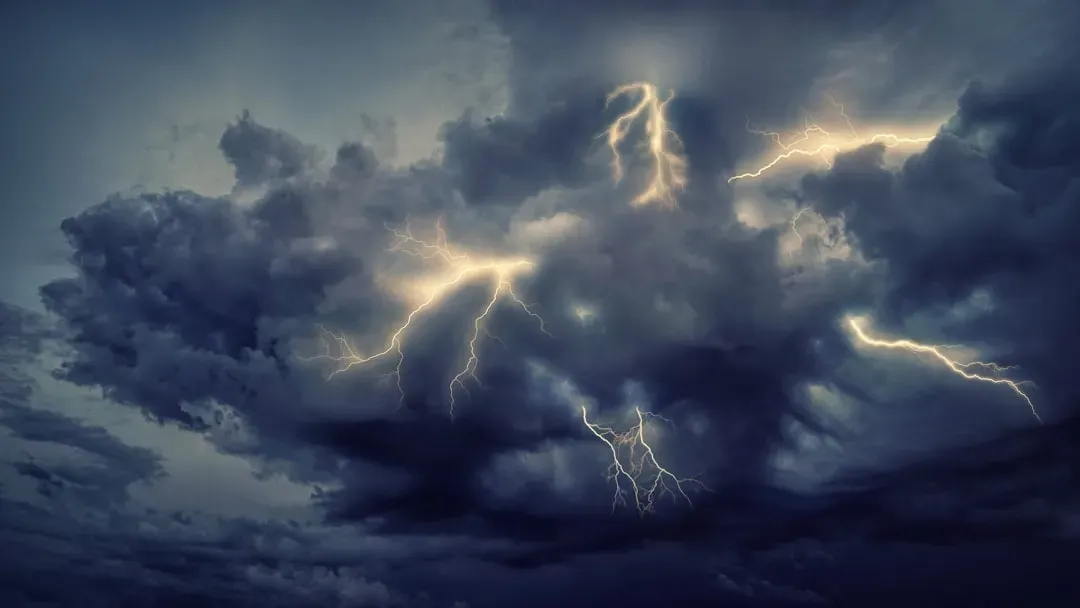
Even one day in advance, forecasters won’t know the exact location or time when a pop-up thunderstorm will occur, because the processes involved happen on small scales and are simply not predictable that far out. They may know that scattered storms will develop in a region, but not precisely where. The triggers for thunderstorm development aren’t measured or modeled very well, so confidence in exactly where or when thunderstorms might erupt is often low.
Temperature changes gradually across regions, while rain can be highly localized. A thunderstorm might drench one neighborhood and skip the next one entirely. This is why even the best providers top out at around 83 percent accuracy for predicting whether precipitation will occur at all. The practical move is to carry a rain layer whenever any chance of storms appears in the forecast, not just when the percentage tips above a threshold you’ve invented for yourself.
The Exact Snowfall Total for Your Neighborhood
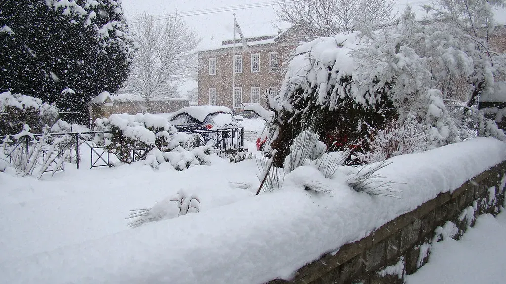
Extreme precipitation events present numerous challenges because of the importance of small-scale processes that can’t be measured or modeled perfectly. Data from the Weather Prediction Center shows that 24-hour forecasts for at least one inch of precipitation get only a little more than half the area correct on average. Two- and three-day forecasts for that same threshold get less than half the area right, on average. Snow makes this worse, because tiny shifts in temperature determine whether precipitation falls as heavy wet snow, light powder, sleet, or rain entirely.
The predictions for very heavy snow in the “heart” of a storm tend to have higher confidence. If you find yourself near the edge of where significant precipitation may fall – in a region with a large gradient – your forecast is particularly challenging, and small changes in the storm’s behavior could mean big differences in what you actually experience. Rather than counting on specific inch totals, prepare for the full range and assume your snowblower, salt supply, or travel plans may need to flex.
Hurricane Track Forecasts More Than Three Days Out
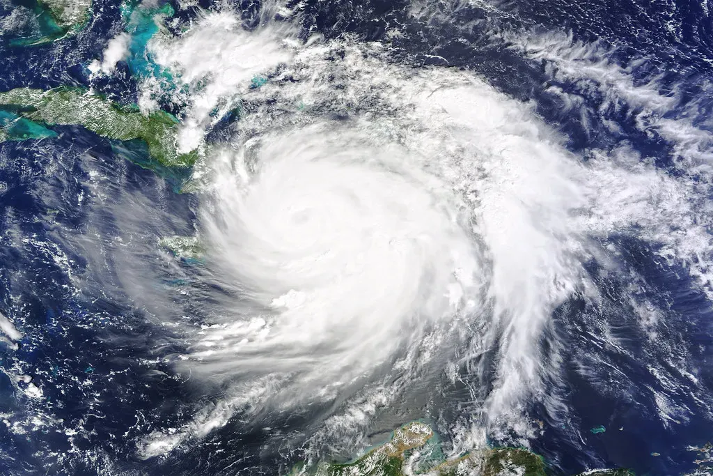
Sometimes a difference of just 50 or 100 miles in the path of a tropical cyclone can mean the difference between catastrophic impacts and impacts that are far more manageable. Unfortunately, errors of 50 or 100 miles are fairly common even a few days in advance. The cone of uncertainty shown on official hurricane graphics exists precisely because path forecasting carries genuine uncertainty that widens the farther out you project.
In 2012, Hurricane Sandy took an unexpected turn that left forecasters scrambling. Small variations in initial atmospheric conditions – particularly the timing and strength of high-altitude winds – led to an unforeseen deviation in its path. What was initially projected as a typical offshore trajectory turned into a devastating landfall. When a hurricane is in the forecast, the right response is to begin preparing immediately, regardless of where the exact center is currently projected to land.
What “30% Chance of Rain” Actually Means

This one isn’t strictly a forecast that is “wrong” – it’s a forecast that is almost universally misread. According to the National Weather Service, the probability of precipitation is one of the most misunderstood elements of weather forecasts. The percentage does not relate to physical area – it doesn’t mean 30 percent of the city will get rain at any given time. It’s also a myth that you’ll see rain for 30 percent of the forecasted period.
The National Weather Service calculates probability of precipitation using a formula that multiplies forecaster confidence by the expected area coverage. If a forecaster is 100 percent confident it will rain but expects it to hit only 30 percent of the area, the forecast reads 30 percent chance. If the forecaster is 50 percent confident and expects rain to cover 60 percent of the area, that’s also a 30 percent chance. The upshot is that a low percentage doesn’t mean dry weather everywhere – it means the chance of measurable rain at any given point is low. Bring the umbrella whenever you genuinely can’t afford to get soaked.
Local Temperature Forecasts in Mountain and Coastal Zones

In Miami, the temperature forecast is usually accurate a week into the future. In Paonia, Colorado, even the one-day temperature forecast is wrong by almost 6 degrees Fahrenheit on average. Geography drives a huge portion of local forecast error, and weather apps rarely surface this nuance. The gap lies in spatial resolution – weather apps rely on interpolated data that smooths out differences between weather stations that might be 10 to 20 miles apart.
Where you live significantly affects the accuracy of forecasts. Coastal areas, mountains, and places with highly variable weather often see more surprises than the national average would suggest. If you live in a valley, near a large body of water, or at elevation, treat app-based forecasts as a regional baseline rather than a hyper-local guarantee. Checking a nearby official weather station or a local broadcast meteorologist who knows the terrain is often more reliable.
The Precipitation Forecast Beyond Day Five

Deterministic precipitation forecasts are much less reliable than temperature forecasts. The useful signal from probability forecasts is often limited to 3 to 5 days for many locations. Beyond that, forecasts begin approaching climatological probability – essentially the long-term average chance based on the time of year. Despite this, most apps display rain icons or percentages all the way out to day 10 or beyond, without indicating that those numbers become increasingly speculative.
A five-day forecast is accurate about 90 percent of the time. A seven-day forecast drops to around 80 percent. Anything beyond 10 days is right only about half the time – essentially a coin flip. If you’re planning an outdoor event a week or more out, watch the forecast trend as you get closer rather than anchoring your plans to a rain icon that appeared on a screen eight days before the date in question.
Rapid Intensification Forecasts for Tropical Storms
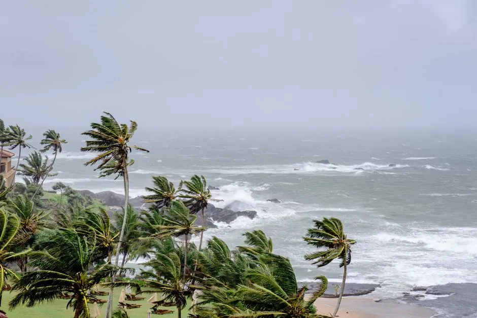
Rapid intensification – when a tropical storm’s maximum sustained winds increase by more than 35 miles per hour in 24 hours – is one of the most notorious problem areas in modern forecasting. Hurricane Otis in 2023, which emerged in the data-sparse East Pacific, became a stark reminder of weather forecasting limitations. With fewer weather stations available to paint a clear picture and a unique vertical structure, Otis intensified rapidly, leaving both meteorologists and communities scrambling.
Different weather forecast models produce varying results due to their distinct algorithms, resolution, and initial conditions. The accuracy of these models depends on factors such as the region, timeframe, and type of weather phenomenon being predicted, as well as the quantity and quality of initial data inputs. Rapid intensification fails partly because ocean heat content beneath a storm is difficult to measure in real time. The takeaway is clear: whenever a tropical storm is within range, treat even a “moderate” intensity forecast as potentially understated and prepare for a stronger scenario.
Winter Storm Snowfall Totals at the Rain-Snow Line

If you find yourself near the edge of where significant precipitation may fall, small changes in a storm’s behavior could produce vastly different outcomes. The same challenge applies to regions with large temperature gradients, where strong fronts are located. A front that stalls 30 miles north of its forecasted position can turn a forecast of six inches of snow into four inches of freezing rain – two entirely different emergencies requiring entirely different preparation.
The East Coast of the United States saw a classic case of snow storm forecasting failure in 2010. Meteorologists, armed with advanced models and data, failed to predict a slight shift in the temperature gradient. This subtle change turned predicted moderate snowfall into the infamous “Snowmageddon,” leaving cities unprepared. In any winter storm situation where you’re within 50 miles of the predicted rain-snow line, assume both possibilities and prepare for the worse of the two outcomes.
Seasonal Outlooks That Predict Specific Monthly Conditions

Long-term seasonal forecasts spanning weeks to months remain challenging even in 2026, though they have improved thanks to better model physics and increased use of machine learning to identify climate trends. The critical distinction is between what these outlooks are actually saying and how most people read them. A seasonal forecast that calls for a “warmer than normal winter” is a probabilistic statement about temperature tendencies – not a guarantee of specific conditions in any given week.
Longer range forecasts can still be accurate and useful, as long as the forecast is less specific. Forecasters may not be able to predict the exact high temperature two weeks out, but they may correctly identify that the overall weather pattern favors warmer or cooler than normal conditions. Such a forecast carries genuine skill compared to climatology and can be genuinely helpful to event planners, retailers, and farmers. The mistake is treating a seasonal trend as a daily guarantee. Use these outlooks for broad planning, not for canceling anything specific.
Weather forecasting in 2026 is genuinely remarkable. Short-range predictions are more accurate than ever, and the gap between science and public understanding has never been wider. Knowing which forecast types carry real confidence – and which ones are educated guesses dressed up as certainties – puts you in a far better position to make decisions that actually hold up when the atmosphere does what it always does: surprise you.

- The Shoreline Sucked Dry in Seconds – 5 Tsunami Signals Beachgoers Mistake for Low Tide - November 14, 2026
- 9 Dark-Sky Destinations Around the World Where the Stars Look Unreal - November 14, 2026
- The Fault Line That Never Slips – 7 Locked Seismic Zones Overdue for a Massive Release - November 14, 2026
