

- Top 6 Countries With the Most Extreme Temperature Swings - September 23, 2026
- The Snowbird Backlash: Why Ski Towns Are Pushing Back on Winter Tourists - September 23, 2026
- 11 Ways Different Generations Have Adapted Their Homes to the Weather - September 23, 2026
1. Pacific Northwest
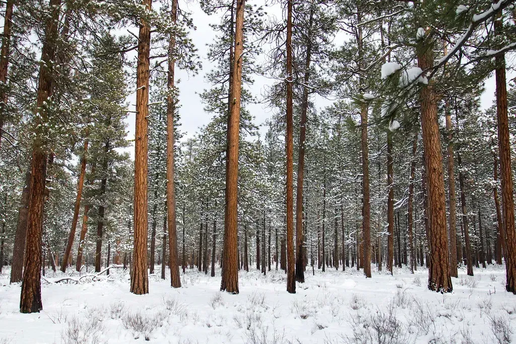
Washington, Oregon, and northern Idaho are shaping up to be one of the more consistently cold and snowy corners of the country this winter. NOAA’s data pointed to a cold, wet winter with above-normal snowfall for the Pacific Northwest, with frequent storms capable of dumping heavy, wet snow in the Cascades and Olympics. That pattern lines up with what typically happens during a La Niña winter, when the storm track tends to aim squarely at the Northwest instead of sliding south.
There’s also a broader climate signal at play here. La Niña has continued to influence drier-than-average conditions in the desert Southwest and along the Gulf Coast, while the outlook favored improving drought conditions in the Pacific Northwest. That combination of wetter systems and colder air masses arriving from the north raises the odds of prolonged snow events rather than isolated storms, which matters for mountain travel, avalanche risk, and regional water supply heading into spring.
2. Northern Rockies and Northern Plains
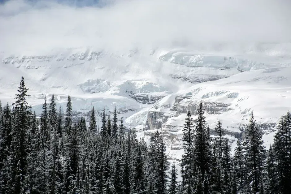
Montana, Wyoming, and the Dakotas sit in what forecasters describe as one of the snowier zones this season. The region was expected to be cold and snowy, leaning strongly toward deep snow cycles, with the jet stream’s northern track delivering frequent storms that pile up snow in the Tetons and Colorado’s Front Range. That’s a fairly direct consequence of La Niña steering the jet stream northward and letting cold air pool over the northern tier.
NOAA’s seasonal outlook backs this up with harder data. Forecasters noted enhanced odds for below-normal temperatures from parts of the Pacific Northwest eastward across the northern Rockies, northern Plains, upper Mississippi Valley, and the far western Great Lakes. For residents of places like Bismarck or Billings, that translates into a winter where cold outbreaks arrive more often and linger longer than they might during a milder, El Niño-influenced year.
3. Upper Midwest and Great Lakes
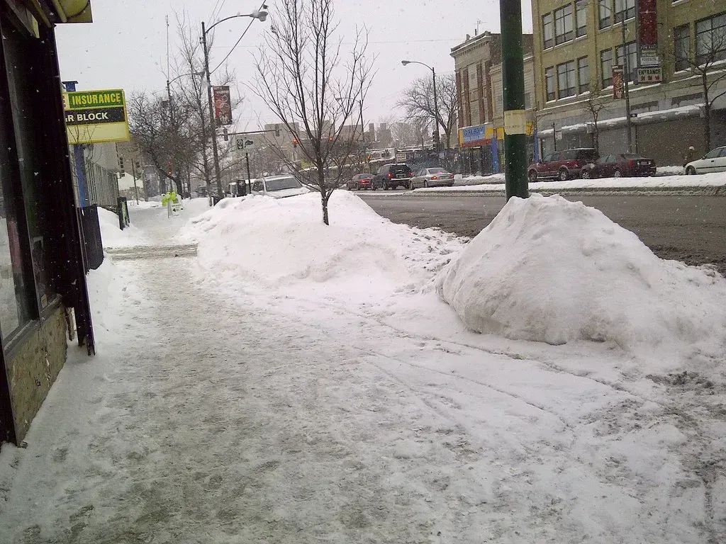
The Great Lakes region has its own particular winter wildcard: lake-effect snow, and it’s becoming a more intense phenomenon as the lakes themselves change. As global temperatures continue to rise and further warm the Great Lakes, areas in lake-effect zones will continue to see increasing lake-effect snowfall as a warmer atmosphere will be able to hold increasing amounts of moisture. That’s a counterintuitive but well-documented effect, warmer lake water means less ice cover, and less ice cover means more open water available to feed snow-producing clouds when cold air sweeps across it.
The scale of these storms is already showing up in long-term records. Snowfall totals in areas directly east of the Great Lakes often reach or exceed 150 inches per year, and they have increased over the last century. Cities like Syracuse and Buffalo, sitting downwind of Lakes Ontario and Erie, are the ones most likely to feel this trend intensify, even as broader winter warming continues elsewhere in the region.
4. Ohio Valley and Mid-Atlantic
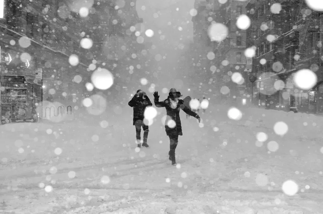
This stretch of the country tends to sit right in the crosshairs when the polar vortex weakens, and this winter has been a clear demonstration. NOAA forecasters indicated that the setup for the winter would generally feature a weaker polar vortex, leading to periods of a more wavy jet stream that would allow more frequent intrusions of arctic air into the middle latitudes. That wavy pattern is exactly what allows brief but sharp cold outbreaks to punch through even during an otherwise mild season.
Moisture supply adds another layer to the risk here. Forecasts pointed to wetter than average conditions for the Ohio Valley and southern Great Lakes region. When that extra moisture collides with an arctic intrusion at just the right time, the result can be a fast-moving ice storm or heavy snow event rather than the steady, predictable systems residents are more used to.
5. Northeast and New England
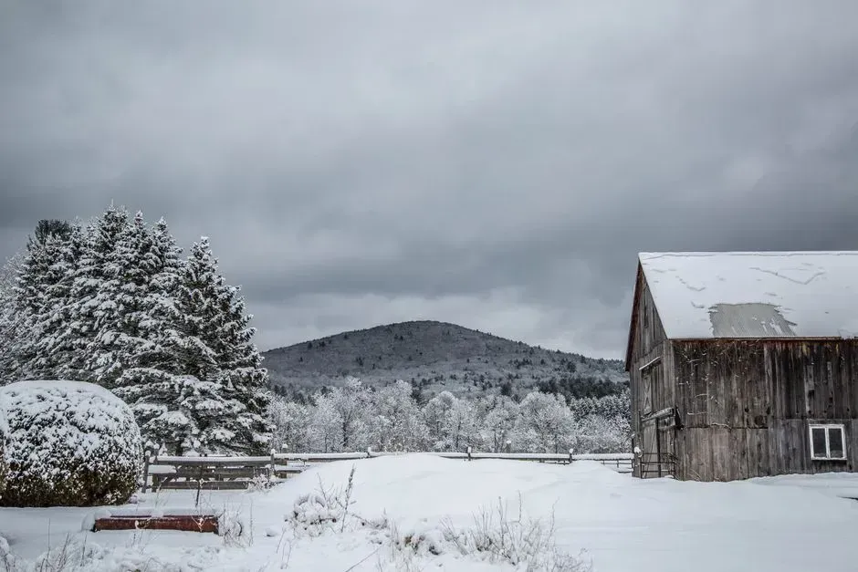
New York and New England are in a slightly trickier spot this winter, caught between a milder overall pattern and the occasional sharp cold shot. The region was expected to see slightly cooler and wetter than average conditions, with more storms potentially hitting the Greens and Adirondacks, though lower elevations could see mixed rain and snow. That split between higher terrain and valley floors is becoming a defining feature of Northeast winters generally.
Regional forecasters have also flagged a storm-track quirk tied to this year’s weak La Niña and disrupted polar vortex. In weak La Niña winters with a highly negative PDO and weak polar vortex, there tends to be an active Pacific storm track and a lack of big East Coast snowstorms, with most systems tracking to the north and west and unable to tap into rich Gulf of Mexico moisture. The upshot is fewer classic nor’easters, but that doesn’t rule out the kind of sudden arctic plunge that can drop temperatures dramatically within a single day.
6. Alaska, Interior and Panhandle
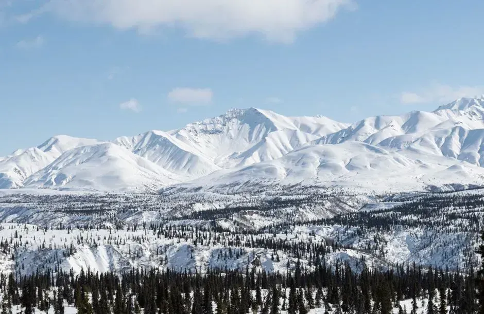
Alaska’s winter outlook this year is genuinely split down the middle, which makes it an unusual case among U.S. regions. Later sea ice formation and positive temperature trends support elevated odds for above-normal temperatures across much of the northern and western parts of the state, while potential La Niña impacts, especially later in the season, favor a slight tilt toward below-normal temperatures for the Alaska Panhandle. That means interior and northern Alaska could run warmer than usual even as the southeastern coastal strip trends colder.
The precipitation side of the forecast tells a similarly divided story. An increased chance of below-normal temperatures was forecast for southeastern Alaska against above-normal temperatures for the northwest, with a corresponding increased chance of below-normal precipitation in the southeast and above-normal precipitation in the northwest. For a state already dealing with rapid Arctic warming, this kind of regional split adds real uncertainty to everything from sea ice extent to river ice breakup timing later in the season.
Taken together, these six regions illustrate something researchers have been documenting for more than a decade: a warming Arctic doesn’t necessarily mean calmer winters everywhere else. Some studies have found that as the Arctic transitions from a colder state toward a warmer one, mid-latitude regions can actually see more frequent severe winter weather, not less, at least during that transition period. Other research pushes back on that idea, finding no clear long-term trend in the intensity of cold extremes across parts of the U.S., which is a reminder that the science here is still evolving rather than settled. What’s clear is that this winter’s specific mix, a weak La Niña layered on top of a disrupted polar vortex, has created conditions that forecasters across NOAA and independent meteorology outlets have flagged as unusually dynamic. Whether that translates into a record-breaking season or simply a bumpier one than usual will depend on how these atmospheric patterns continue to shift through the final months of winter.