


1. A sudden change in the color or clarity of nearby water
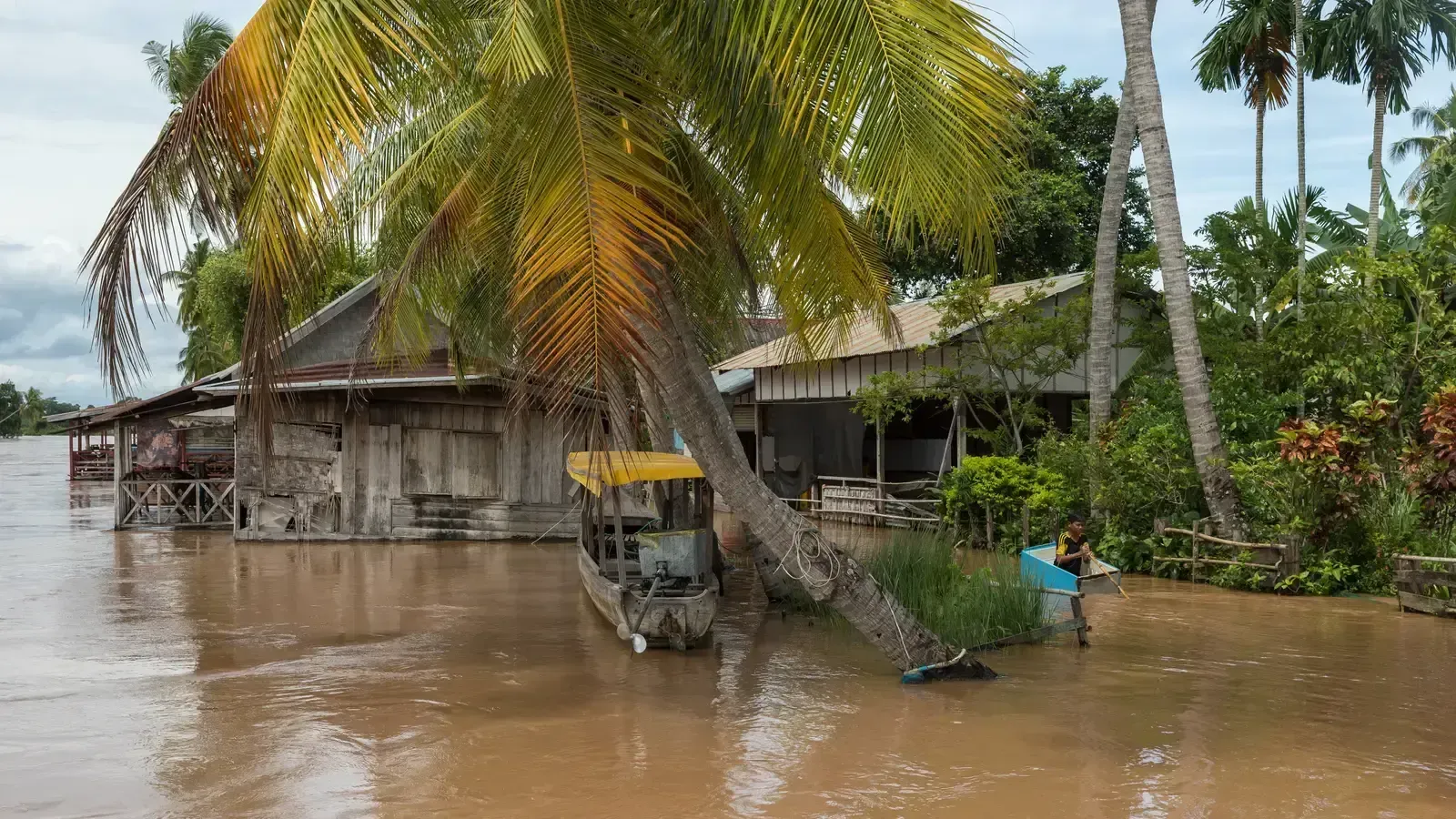
One of the earliest visible clues is water that shifts from clear to muddy brown, often before it rises noticeably. This happens because upstream runoff is already picking up sediment, debris, and soil from saturated ground, even if the rain hasn’t reached your exact location yet. A normally calm waterway turning turbulent or rising rapidly often precedes flash flooding and should never be ignored.
Hydrologists pay close attention to this because it reflects conditions happening miles away, not just overhead. One meteorologist for NOAA has noted that flash floods don’t always happen in the natural stream channel, meaning the behavior of water on the ground is a major unknown even for trained forecasters. If a stream that’s usually still starts churning or darkening, it’s often the first physical sign that something upstream has already gone wrong.
2. A slow-moving or stalled storm system overhead
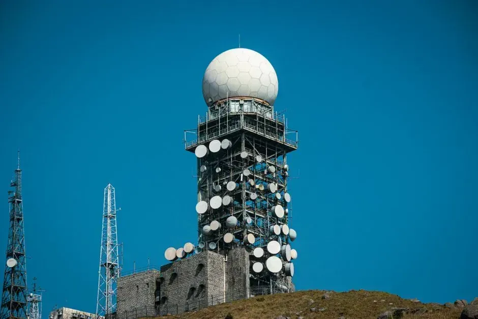
Meteorologists watch radar not just for rainfall intensity but for how long a storm lingers over one spot. When radar shows a stalled system over one area, flash flooding becomes more likely as rainfall accumulates in one place. This is different from a fast-moving storm that dumps rain and moves on, spreading the impact over a wider area with less concentrated runoff.
This pattern was central to the catastrophic Texas Hill Country flooding in July 2025. The rainfall in that disaster was almost wholly concentrated in a single basin, the Guadalupe River basin, and had the storms moved just five to ten miles south, the water would likely have been split across different basins, preventing the historic scale of the disaster. A storm that refuses to move is one of the clearest atmospheric signals a flash flood is building.
3. Rapidly darkening skies with fast-building thunderheads

Visual storm cues still matter even in an age of radar and smartphone alerts. Cloud movement and storm behavior offer visual cues, since dark skies, growing thunderheads, and intense lightning can indicate a storm is gaining power. These signs are especially useful in areas with spotty cell coverage or delayed alert systems.
Meteorologists stress that the speed of cloud development matters as much as the darkness itself. A thunderhead that builds within minutes rather than hours often signals the kind of intense, short-burst rainfall that overwhelms drainage systems before warnings can even be issued. This is part of why forecasters increasingly rely on satellite and radar loops rather than single snapshots.
4. Ground already saturated from prior rainfall
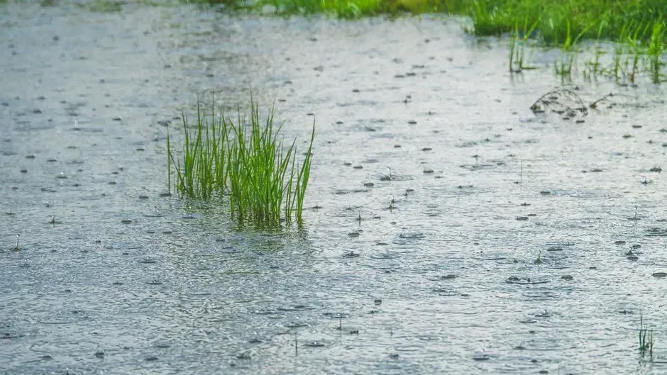
Soil moisture plays a bigger role in flash flooding than many people realize. Hydrologists take into account recent precipitation amounts because soil moisture affects how much rain will soak in and how much will run off, along with how much more precipitation meteorologists expect. When the ground is already full, even a moderate rain event has nowhere to go but into streets and streams.
This is one reason flash flood risk often spikes after a string of rainy days rather than during the very first storm of a wet spell. Forecasters at river forecast centers factor saturation levels directly into their models, because dry soil can absorb a meaningful amount of rainfall while saturated ground turns almost everything into immediate runoff.
5. Cracks or shifting in foundations, sidewalks, or nearby slopes
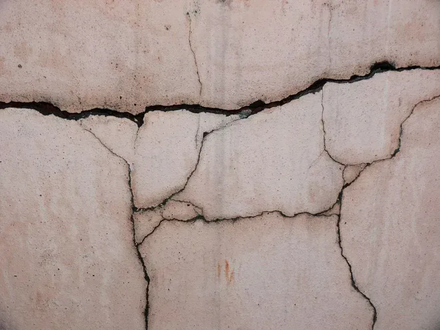
It sounds unrelated to weather, but ground movement can be an early physical warning tied to the same saturation problem. Cracks in foundations or sidewalks might seem like minor issues but can be early signs that underground pressure from saturated soil is building, which is why structural assessments after a storm or flood warning often catch risks before they progress into safety hazards.
This sign tends to matter most in hilly or clay-heavy regions where water doesn’t drain well below the surface. Homeowners in flood-prone areas are sometimes advised to walk their property after heavy rain specifically to check for these shifts, since they can hint at both flooding risk and separate hazards like slope failure.
6. An official flash flood watch already in effect
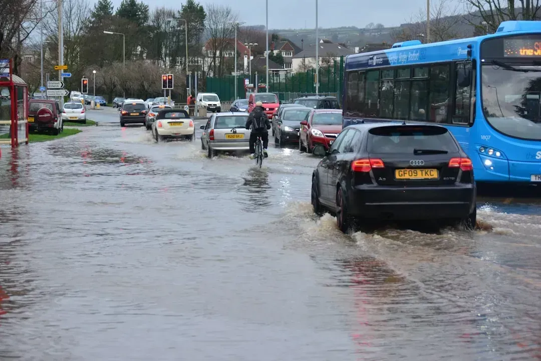
It’s easy to overlook a watch as just bureaucratic language, but meteorologists treat it as a genuine early signal. A Flood Watch is issued when conditions look favorable for flash flooding and usually encompasses several counties, meaning this is the time to start thinking about a plan of action and where to go if the water begins to rise. A watch is essentially forecasters saying the ingredients are present, even if the flood hasn’t formed yet.
The distinction between a watch and a warning matters. A flash flood watch means conditions are favorable for flash flooding, while a flash flood warning means a flash flood is occurring or will occur imminently, usually issued when there are strong weather radar echoes for an area prone to flash flooding. Treating a watch seriously, rather than waiting for the warning, is one of the simplest ways to gain extra minutes.
7. Reports of flooding or rising water from nearby areas
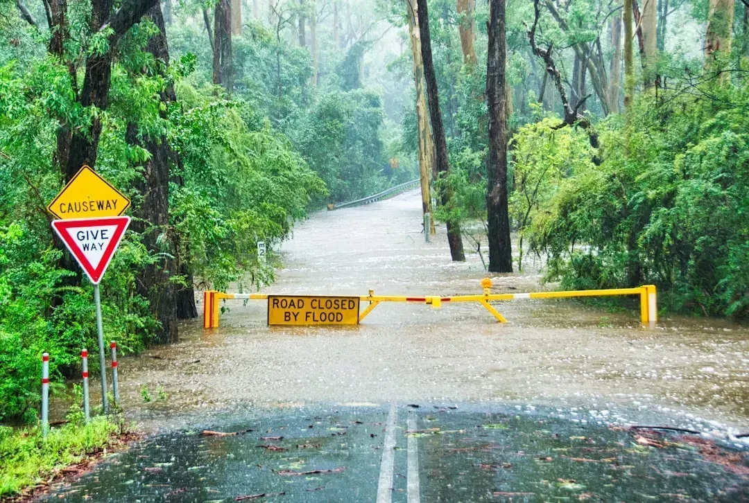
Flash floods frequently start somewhere else before they reach you. Flash floods often follow intense weather but can surprise areas even miles away from the storm, which is why staying alert to your surroundings and not just the sky above matters, since many flash floods originate upstream and send waves of water downhill with little warning. A neighbor’s report of ankle-deep water two streets over can be a meaningful early signal, not just background noise.
This pattern has shown up repeatedly in recent years. In July 2025, reports of flooding ranging from ponding to water reaching the tops of dwellings poured into the National Weather Service from the mid-Atlantic to the Appalachians and across Texas. That same year set a grim record, with National Weather Service offices issuing 3,160 flash flood warnings nationwide through mid-July, the most for that period in any year since records began in 1986. When reports start clustering nearby, meteorologists say it’s a strong indication the same conditions could reach you next.
These seven signs rarely appear in isolation. They tend to stack on top of each other, muddy water alongside a stalled storm, saturated ground alongside an active watch, and it’s that combination forecasters watch most closely. Modern tools have improved detection significantly, with systems generating flash flood forecasts as frequently as every two minutes to improve the accuracy, timing, specificity, and severity levels of warnings in the U.S. Even so, meteorologists still describe flash floods as one of the hardest hazards to predict precisely, which is exactly why recognizing these physical warning signs yourself remains one of the most reliable tools available.