

Planning a trip across the United States this season might sound appealing, but the weather map tells a different story. From scorching Southwest deserts to tornado-prone Plains cities and flood-threatened Gulf Coast communities, some of America’s most visited destinations are currently dealing with conditions that make travel genuinely risky.
Extreme weather in the U.S. is not spread evenly. Some cities face multiple difficult climate metrics simultaneously, and the cumulative burden is far greater than most travelers realize until they’re stuck in the middle of it. Here are ten cities where conditions right now demand a second thought before you book that flight.
1. Phoenix, Arizona – Relentless, Dangerous Heat
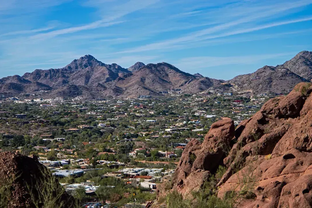
Phoenix averages around 110 days per year with temperatures exceeding 100 degrees Fahrenheit. That’s not a summer novelty; it’s a grinding daily reality for nearly four months. Heat is officially the deadliest weather in Arizona, and during the hottest months, the National Weather Service issues alerts to notify the public when unusually hot weather is expected, specifically to prevent heat illness and death.
In late March 2026, a heat dome parked over the Southwest and expanded into the Plains, producing what was described as the most expansive March heat wave in American history, with over 7,000 daily records falling during the event. Rapid-response analyses from Climate Central and World Weather Attribution concluded that the overall extremity of this heat wave would have been virtually impossible without human-caused climate change. With summer approaching, Phoenix is not a city to visit lightly right now.
2. New Orleans, Louisiana – Flooding, Humidity, and Hurricane Season
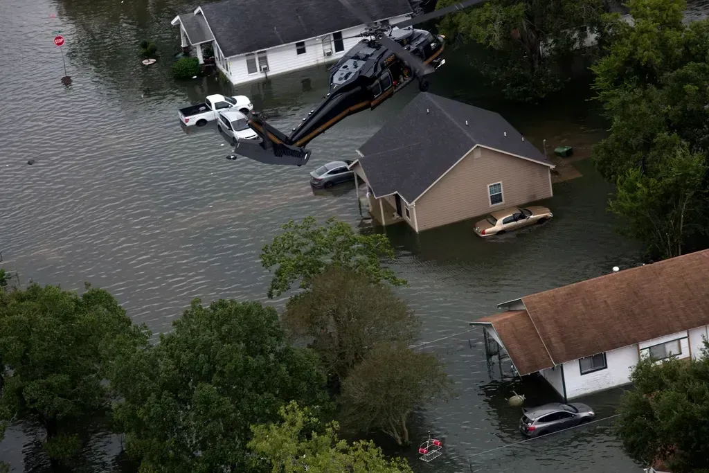
New Orleans sits below sea level, receives approximately 64 inches of annual rainfall, experiences extreme summer humidity with a heat index regularly exceeding 110 degrees Fahrenheit, and faces sustained hurricane risk during the June through November season. The combination is genuinely punishing for visitors unaccustomed to it. In addition to hurricanes, Louisiana can experience tornadoes, extreme heat, torrential rainfall, and thunderstorms, with flooding as a serious and recurring risk.
AccuWeather’s landfall risk analysis for 2026 zeroes in on the northern and northeastern Gulf Coast as the area most likely to take direct tropical impacts, with that zone stretching from just west of New Orleans through coastal Mississippi, Alabama, and into the Florida Panhandle. The forecasts serve as a reminder that it only takes one landfalling hurricane to make a season deeply memorable, regardless of the overall activity forecast.
3. Dallas, Texas – Tornado Alley Meets Brutal Summer Heat
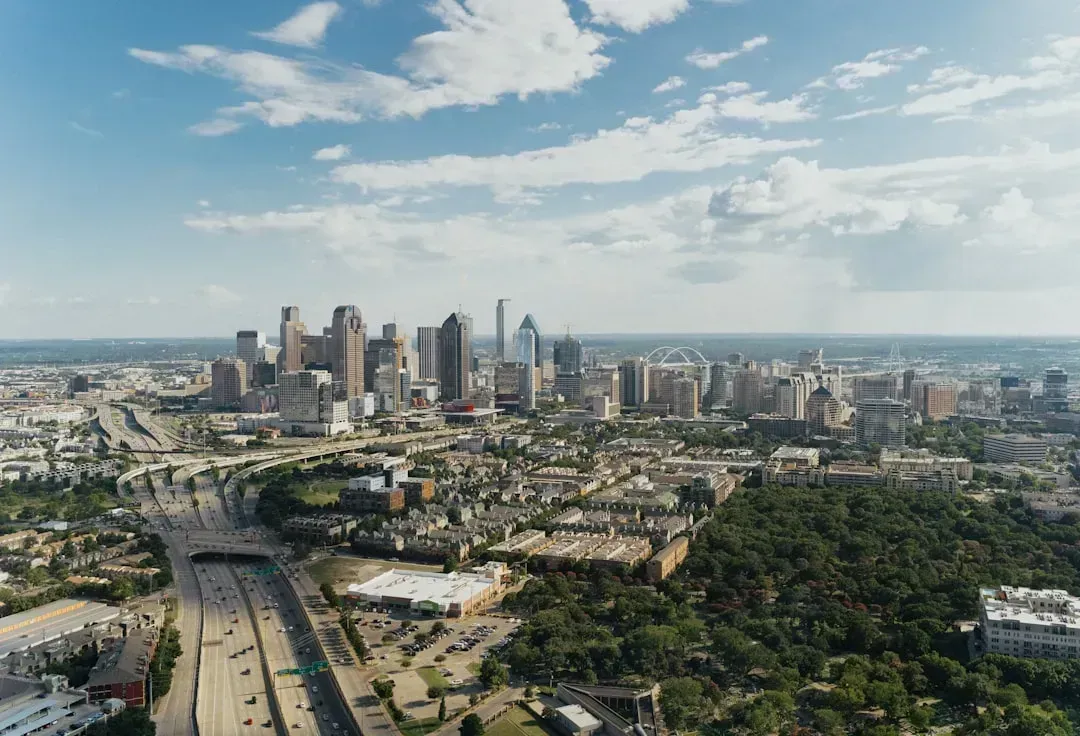
Dallas-Fort Worth sits on the southern edge of Tornado Alley, and severe weather is a serious concern from March through June, with the peak period falling in April and May. Spring visits here come with real risk attached. In cities like Dallas and Fort Worth, hail greater than two inches in diameter and winds over 75 mph have been documented in recent severe weather outbreaks.
From June through August, expect daily highs of 93 to 98 degrees Fahrenheit with frequent days exceeding 100 degrees. Dallas averages 17 days above 100 degrees per year, more than any other major U.S. metro outside Phoenix and Las Vegas, and the so-called heat dome phenomenon regularly traps hot air over North Texas for weeks at a time. Unsettled weather is persisting through the current week, with daily chances for showers and storms, some capable of hail, lightning, and gusty winds.
4. Kansas City, Missouri – Flood Watches and Severe Storm Threats
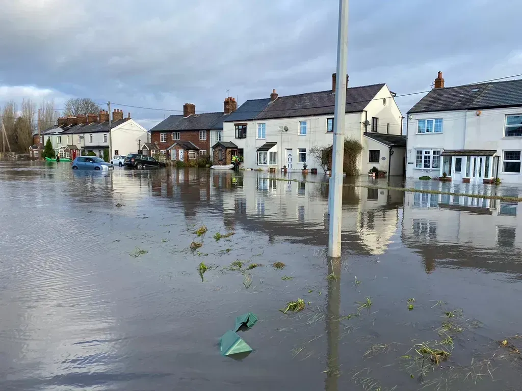
Flood watches have recently been in effect for an estimated seven million people including residents of Kansas City and St. Louis, with these areas potentially facing severe thunderstorms, damaging wind gusts, and large hail according to the National Weather Service. Kansas City’s position in the central Plains makes it a recurring target for volatile spring weather. Cities like Kansas City have been flagged for potential severe storms across multiple consecutive days.
Summer 2026 is expected to bring a volatile mix of heat, severe thunderstorms, and flooding to the United States, with El Niño developing and flexing its influence on the weather pattern. Forecasters at AccuWeather specifically predict wetter conditions across the central Plains, Mississippi Valley, and Ohio Valley as the season progresses. Travelers heading to Kansas City in the coming months should plan around this elevated storm and flood risk.
5. Miami, Florida – Subtropical Heat, Lightning, and Hurricane Exposure
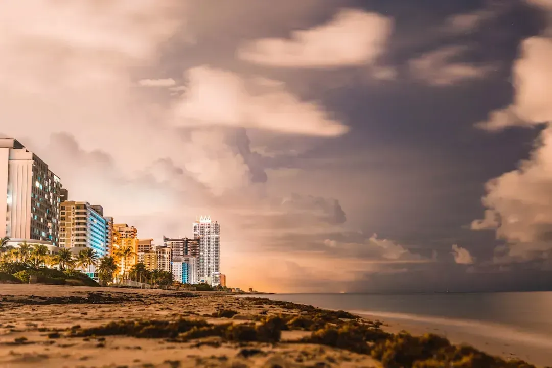
Sea breezes form almost daily on both the western and eastern coasts of Florida and often collide over central and southern parts of the state, producing thunderstorms with frequent lightning and torrential downpours that can easily lead to flooding. Miami sits in one of the most storm-active corridors in the country. Florida historically held the distinction of being the lightning capital of the United States, a title only recently passed to Oklahoma as of 2026.
Parts of the country at elevated risk of tropical impacts in 2026 include the central and eastern Gulf Coast, stretching from around New Orleans to Tampa, Florida, as well as the Carolinas and parts of the Virginia coastline. Miami and the broader South Florida region face the start of Atlantic hurricane season on June 1 with serious preparedness required. NOAA’s outlook for the 2026 Atlantic hurricane season predicts a 55 percent chance of a below-normal season, forecasting 8 to 14 named storms with 3 to 6 potential hurricanes, including up to 3 major ones.
6. Oklahoma City, Oklahoma – Tornado Capital with Escalating Hail Risks
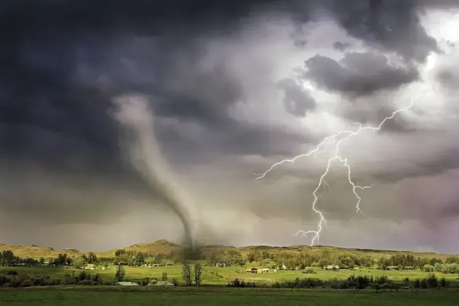
Oklahoma’s proximity to the warm, humid Gulf of Mexico air and the cool, dry air from the Rockies makes it a prime location for these two air masses to collide and create wild weather. Oklahoma is home to the widest tornado on record at 2.6 miles, which occurred in El Reno in 2013, and has among the highest tornado rates per square mile of any state. That’s not a statistic you want to test firsthand.
Recent severe weather outlooks have placed Wichita and Oklahoma City directly in the path of significant storm systems, with tornado threats active across multiple days. Oklahoma is also prone to large hail, damaging winds, flash floods, and extreme temperature swings throughout the year. The window between late spring and early summer is the most dangerous stretch, and right now we’re sitting squarely in the middle of it.
7. Los Angeles, California – Wildfire Smoke and Ongoing Fire Danger
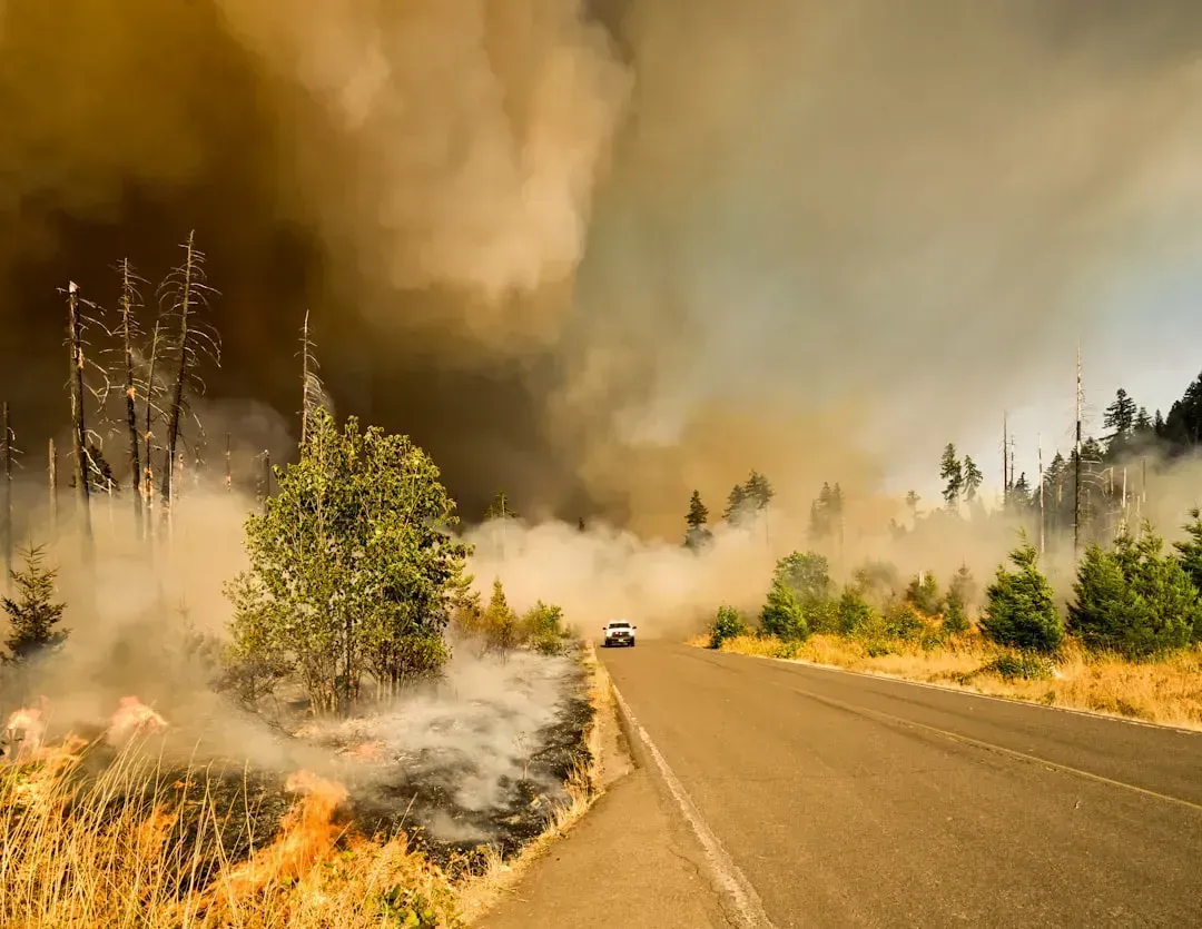
Multiple wildfires in Los Angeles at the beginning of 2025 spread quickly and burned for weeks, destroying more than 16,000 structures. Fueled by severe drought conditions and Santa Ana winds, the Palisades and Eaton fires both erupted on January 7, eventually spreading more than 37,000 acres over 24 days. The region has barely had time to recover from that trauma before facing the next fire season.
The dry heat and scant precipitation of the recent period have depleted the already limited snowpack across much of the U.S. West, laying the groundwork for enhanced wildfire and water-supply troubles through spring and summer. The worst of the summer 2026 heat is expected to focus across parts of California, Idaho, Montana, Nevada, Oregon, Utah, Washington, and Wyoming, fueling a widespread fire threat across the region. Los Angeles remains at the center of that risk.
8. Buffalo, New York – Extreme Lake-Effect Snow and Now Summer Heat Threats
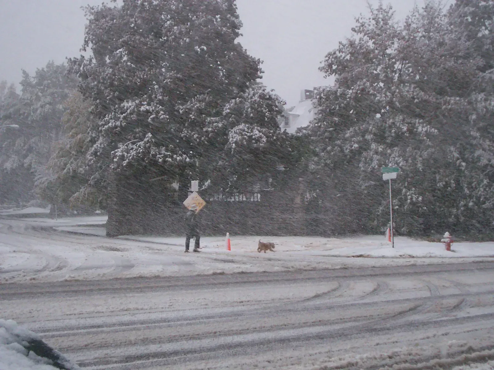
Buffalo averages around 95 inches of annual snowfall, making it one of the snowiest major cities in the country. Winters in the Great Lakes region are characterized by harsh conditions including heavy snowfall, and cities like those along Lake Michigan and Lake Erie are highly susceptible to lake-effect snow, which can cause further accumulation and extremely hazardous situations. Buffalo’s position downwind of Lake Erie makes every cold-air outbreak a potential travel nightmare.
In a remarkable reversal, this is only the second time in recorded history that a heat advisory has been issued for New York City during the month of May. Cities including Albany, Hartford, Boston, Buffalo, Washington D.C., Philadelphia, and Raleigh have been seeing temperatures soaring into the upper 80s and low 90s, with the combination of high temperatures and humidity expected to make it feel like 95 to 99 degrees. Buffalo’s weather is swinging between extremes in ways that catch even experienced travelers off guard.
9. St. Louis, Missouri – Tornado Outbreaks and Flash Flooding
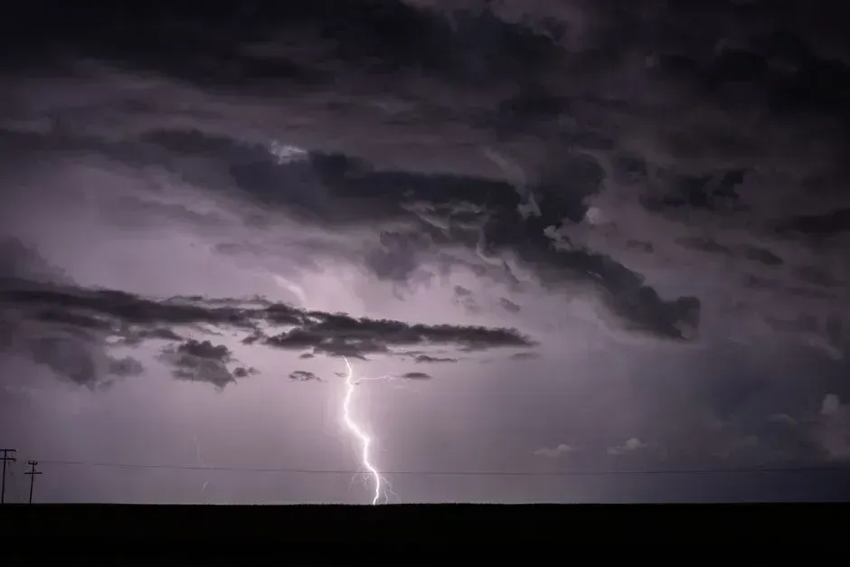
Illinois and Missouri sit in the path of severe weather systems with high tornado frequency, extreme temperature swings, heavy spring thunderstorms, and significant winter snow. St. Louis sits at a geographic crossroads that funnels multiple storm tracks directly over the city. A tornado outbreak and severe storm system swept across multiple states in March 2026, with more than 50 tornadoes reported on a single day, the greatest concentration falling across southern Illinois and nearby Missouri regions, causing widespread damage to homes, businesses, and critical infrastructure.
In July and August, there is a rising risk of destructive lines of thunderstorms known as derechos, which are far more powerful than typical thunderstorms and sometimes called inland hurricanes for the widespread wind damage they cause. Winds can exceed 100 mph, strong enough to flatten cornfields and trigger power outages lasting days in the summer heat. St. Louis sits directly in the corridor most vulnerable to these systems as summer develops.
10. Houston, Texas – Flash Flooding and Unforgiving Summer Humidity
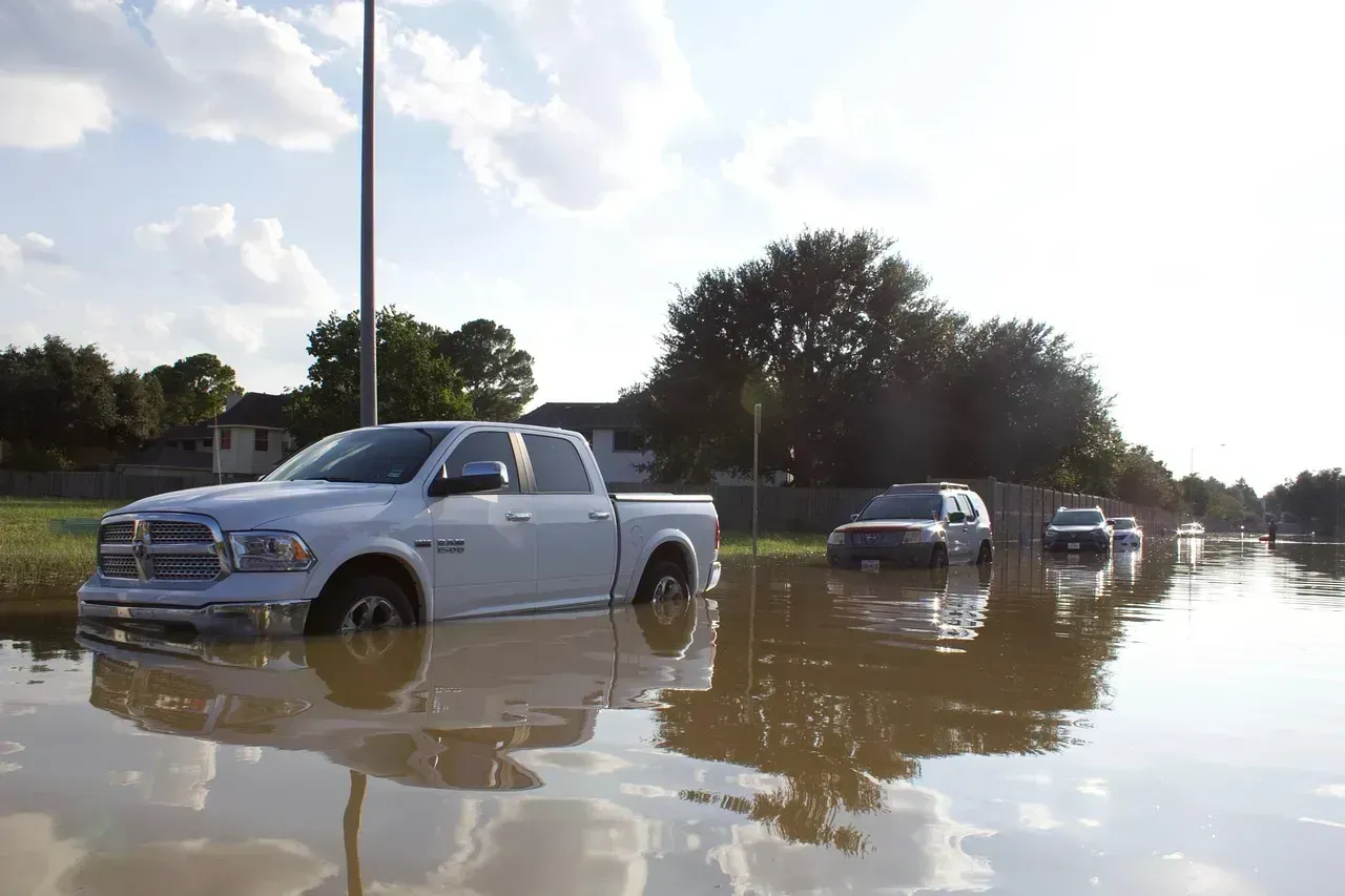
Extreme flooding in central Texas in 2025 quickly turned to tragedy when torrential rains turned the Guadalupe River into a raging wall of water, with the river rising 26 feet in less than an hour, and rainfall rates of 2 to 4 inches per hour recorded in some spots. The broader Gulf Coast region of Texas has a documented and dangerous relationship with flash flooding. Drought conditions playing into the severity of these events, as severe to exceptional drought makes areas more susceptible to flash flooding because saturated or hardened soil cannot absorb rainfall efficiently when storms finally arrive.
From 1980 through 2024, NOAA recorded 403 confirmed weather and climate disaster events with losses exceeding one billion dollars each affecting the United States, including 45 flooding events and 67 tropical cyclone events. The annual average for the most recent five-year period jumped to 23 events, compared to just nine per year across the full historical record. Houston has contributed heavily to those flooding tallies, and climate scientists have noted that climate change is likely to make extreme weather events like Texas flash flooding occur more intensely and frequently going forward.

