
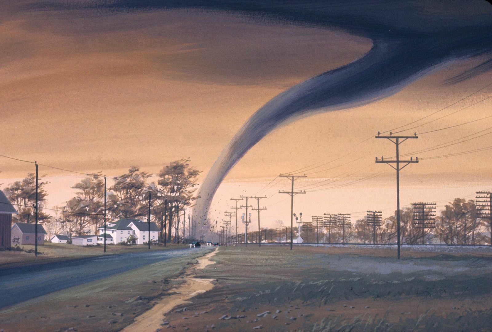
A Season Shaped by a Shifting Pacific

The atmosphere over North America in 2026 has been caught in the middle of a genuine transition. As the United States moves through the early months of 2026, the primary driver of interannual climate variability, the El Niño-Southern Oscillation, has been in a state of flux, with a La Niña advisory technically in effect even as the system decays. By early summer, that decay had run its course.
An El Niño was not officially in place, with conditions sitting in a neutral phase between it and its colder counterpart La Niña, but forecasters expected it to arrive early in the summer. That expectation was later confirmed. NOAA’s National Weather Service announced that El Niño had developed in the tropical Pacific, predicted to intensify to a moderate or strong level by fall. It’s this kind of mid-year handoff between cool and warm ocean phases that tends to make meteorologists nervous.
The Historical Warning Bells: 1974, 1982, and 2011
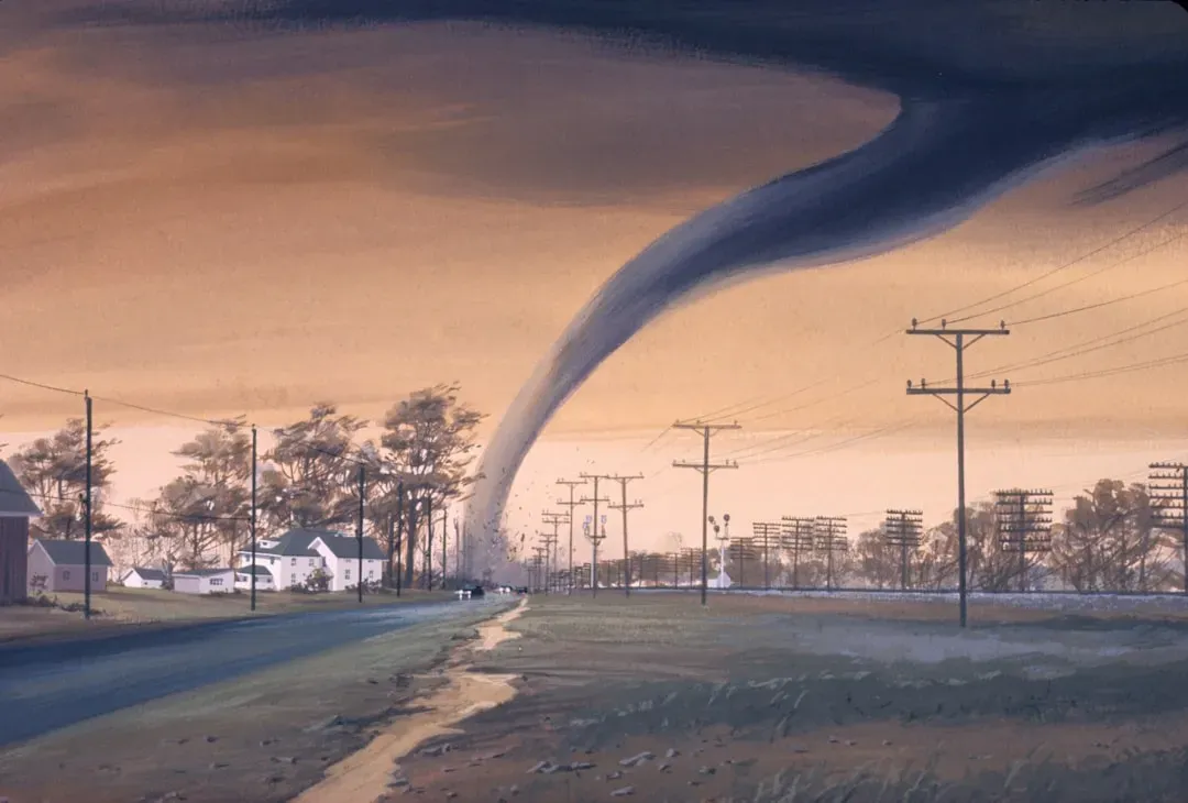
Forecasters don’t reach for historical comparisons lightly, but this particular ENSO transition has drawn some uncomfortable parallels. The current La Niña-to-El Niño climate transition looks a lot like what happened before the devastating tornado seasons of 1974 and 2011. Both of those years produced outbreaks that reshaped how the country thinks about tornado risk.
The 1982 season offers another cautionary data point. That spring featured a transition from a weak La Niña or neutral winter to a very strong El Niño by the following summer, and it resulted in a highly active season, including an early April outbreak that produced 61 tornadoes. Analysts studying 2026 have leaned on similarly transitional years, noting that these springs featured a transitioning or persistent La Niña alongside a negative Pacific Decadal Oscillation and comparable upper air patterns.
Early 2026 Outbreaks Already Testing the Pattern
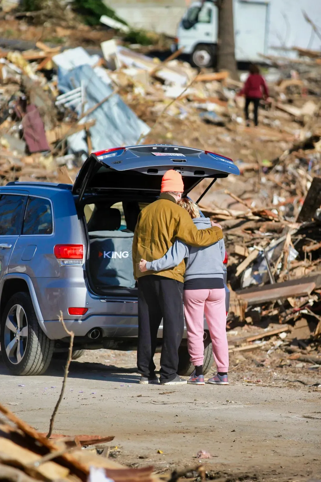
This isn’t a purely theoretical risk. The season had already produced multiple significant outbreaks well before summer arrived. From March 5 to 7, 2026, a small but significant and deadly tornado outbreak impacted portions of the Central and Midwestern United States, particularly Oklahoma and Michigan. That event alone killed a mother and daughter in Oklahoma when an EF2 tornado struck their car, and killed a 12-year-old boy near Edwardsburg, Michigan.
April brought an even larger test of the pattern. A major tornado outbreak took place between April 17 and 18, 2026 within the Midwestern United States, Upper Midwest, and the Southern Plains. Just days later, a multi-day sequence of tornadoes and outbreaks occurred from April 23 to 28, following an active pattern of severe weather in mid-April, including a widespread outbreak across the Midwest on April 17. That April sequence alone produced 108 confirmed tornadoes, three deaths, and at least 16 injuries.
The Atmospheric Recipe Meteorologists Watch Closely
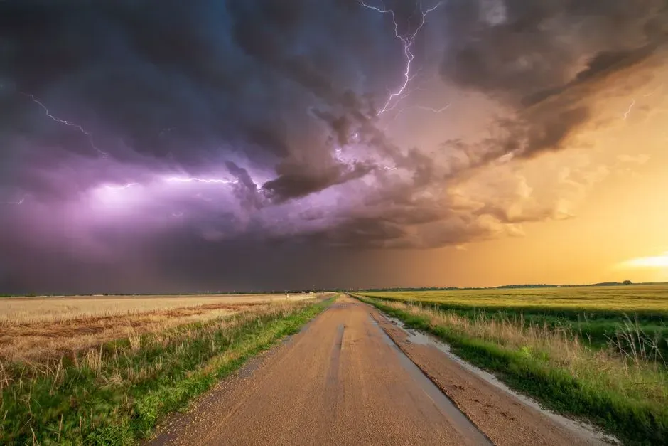
Tornado outbreaks don’t come from a single ingredient; they come from a specific combination lining up at the same time and place. During the April Wisconsin and Minnesota outbreak, a large scale upper trough approached the upper Midwest, bringing cooler temperatures aloft and warm, moist air near the ground, along with strong winds out of the southwest aloft and breezy winds near the ground, the wind shear that is a key ingredient for severe storms. That same recipe, moisture plus shear plus instability, shows up again and again in outbreak case studies.
The Enid, Oklahoma EF4 in late April is a textbook example. That event was associated with a strongly unstable air mass characterized by rich low-level moisture, steep lapse rates, and strong vertical wind shear conducive to supercell development, with thunderstorm initiation occurring as a capping inversion weakened and allowed explosive convective development. When forecasters see these ingredients converging days in advance, that’s when watch and warning language starts to sharpen.
Where the Risk Is Concentrating This Year
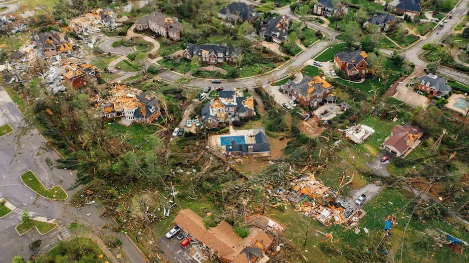
Geography matters enormously in how a season like this unfolds. In March, tornadoes were forecast to focus on an area from northern Georgia to Oklahoma and northward through most of Illinois; by April, activity became more frequent with most tornado-producing storms focusing on the Mississippi River Valley; and as the calendar turned to May, the focus shifted toward the traditional tornado alley, with areas from central Texas to eastern Nebraska facing the highest risk. That progression tracks almost exactly with how the season actually played out.
Hail risk followed its own separate geography. The highest hail risk for 2026 was expected from Texas to Alabama, with another hotspot around Iowa, northern Missouri, eastern Nebraska and northeastern Kansas. Meanwhile the most consistent corridor for severe weather episodes this spring was expected to set up in the typical areas from the eastern Plains into the mid-Mississippi Valley and western Ohio Valley, especially during March and April. Slower to activate were the northern tier states, since cooler air was likely to limit severe weather farther in the northern Plains and Midwest until late April and May, partly linked to the icy waters of the Great Lakes.
The Numbers: Forecasts Versus What Actually Happened
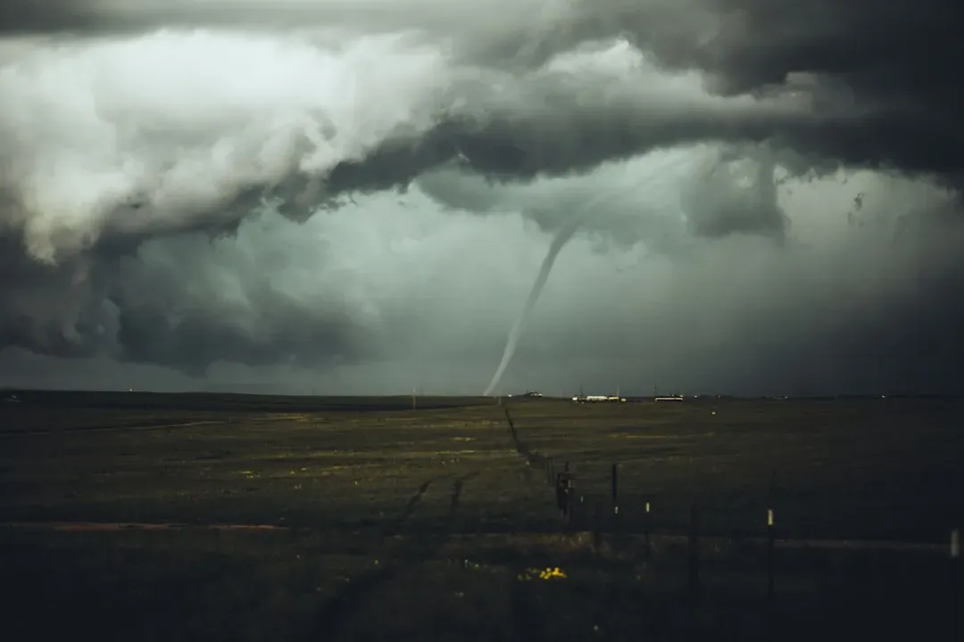
Going into the year, the numerical outlook sounded almost reassuring on paper. Long-range forecasters predicted 1,050 to 1,250 tornadoes across the United States for the year, compared to 1,544 preliminary tornado reports in 2025, against a historical average of 1,225. Those figures represented a step down from the prior two years.
But raw counts rarely tell the full story of a violent season. Those numbers help set expectations for the season, but they don’t tell the full story, since a single outbreak, or one tornado striking a populated area, can define a spring regardless of how the final count compares to average. AccuWeather’s own meteorologist put it directly, warning that people should not let their guard down this severe weather season, since flash floods and damaging wind gusts can be just as destructive as tornadoes and often impact a much larger area, and it only takes one storm striking a densely populated or vulnerable community to make a season devastating.
Not Just Tornadoes: Hail, Wind, and Flooding Compound the Threat
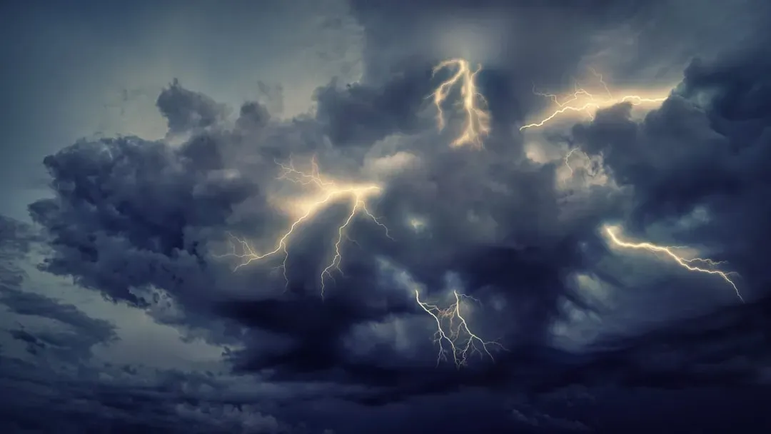
Part of what makes this pattern dangerous is that tornadoes are rarely the only hazard riding along with it. Forecasters expected total tornado counts for 2026 to fall near the historical average, well below the elevated numbers recorded in 2025, with a key driver being the rapid exit of La Niña, a climate pattern in which Pacific Ocean surface temperatures run cooler than normal and tend to reduce the frequency of classic tornado-producing setups. Yet that same source cautioned against complacency, since meteorologists were cautioning against any sense of complacency, noting the greater threats in 2026 may include damaging straight-line winds capable of snapping trees and downing power lines, flash flooding as repeated storm systems deliver heavy rainfall in quick succession, and large hail with the highest risk expected from the southern states through the central U.S.
These compound threats often arrive stacked within the same 24-hour window as a tornado outbreak, which is part of why emergency officials treat these setups so seriously. A supercell producing a wedge tornado can, on the same track, drop baseball-sized hail and generate winds capable of leveling structures without any rotation at all. That combination is precisely why forecasters frame these transitional patterns not as a single-hazard concern but as a multi-hazard event capable of overwhelming a community all at once.
How Forecasters Track and Warn of Outbreaks
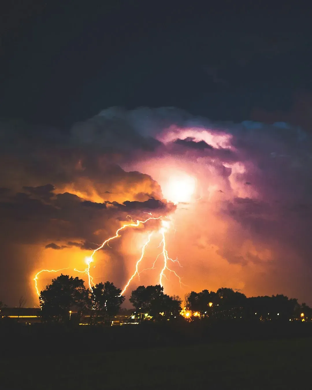
Behind every outbreak is a layered forecasting process that starts days ahead of the actual storms. Before the April 17 to 18 Midwest outbreak, the Storm Prediction Center outlined a Day 3 enhanced risk for much of Kansas, Iowa, Oklahoma, and Missouri three days out, then maintained that risk the following day with the primary corridor for tornadic potential shifting to southwestern Wisconsin, driven by a hatched 10% tornado risk with EF3 or stronger tornadoes possible. By the morning of the event, that outlook had sharpened into an actionable warning.
This kind of staged escalation, from a broad multi-day outlook down to a specific moderate or high risk on the day itself, is standard practice, but it isn’t foolproof. During a March outbreak in Michigan, neither a tornado watch nor a severe thunderstorm watch was put into effect during the outbreak because the storm was primarily concentrated in a small three-county area, making it difficult to detect in advance, with the highest risk level that day only a Level 1 marginal risk. Gaps like that one are a reminder that even well-supported patterns can still produce localized surprises that slip past the standard warning framework.
Lessons from Past Super Outbreaks
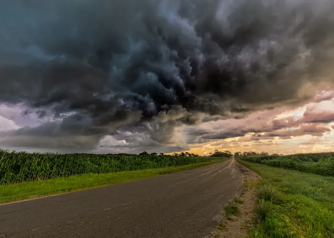
Understanding why meteorologists get uneasy about ENSO transitions requires looking at what happened the last few times this exact setup occurred. The same La Niña-to-neutral setup preceded the 1974 Super Outbreak, which produced 149 tornadoes and 335 deaths, and the 2011 Super Outbreak, which produced 367 tornadoes and 553 deaths for the year. Those numbers remain among the highest single-season tolls in modern American tornado history.
The reasoning behind the connection isn’t purely coincidental. The transition phase, where the ocean surface cools or warms while the vast inertia of the atmosphere has yet to adjust, creates unique patterns of jet stream variability that have, in the past, facilitated some of the most destructive severe weather outbreaks in recorded history. It’s a slow-moving atmospheric mismatch, essentially, and it tends to produce exactly the kind of jet stream configuration that supercells thrive on.
Preparing for the Next Trigger Point
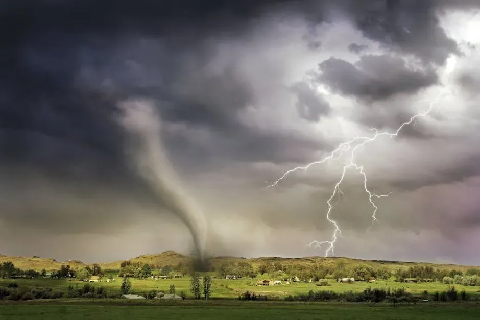
None of this is meant to suggest that a major outbreak is guaranteed at any specific moment, only that the underlying pattern has historically raised the odds. Forecasters have been consistent in their framing that large-scale climate patterns like the Arctic Oscillation and Pacific North American pattern can nudge a season toward more or fewer outbreaks, but even in a quiet pattern, one major outbreak can define the year for a community. That’s the uncomfortable middle ground meteorologists keep returning to.
Practical readiness remains the most reliable response to that uncertainty. As one seasonal outlook put it plainly, now is the time to review your severe weather plan, double check where you will shelter, and make sure you can receive warnings day or night. Given how quickly a transitional atmospheric pattern can turn a routine spring storm into a life-threatening outbreak, that kind of preparation carries more weight than it might in an ordinary year.

- The Shoreline Sucked Dry in Seconds – 5 Tsunami Signals Beachgoers Mistake for Low Tide - November 14, 2026
- 9 Dark-Sky Destinations Around the World Where the Stars Look Unreal - November 14, 2026
- The Fault Line That Never Slips – 7 Locked Seismic Zones Overdue for a Massive Release - November 14, 2026
