
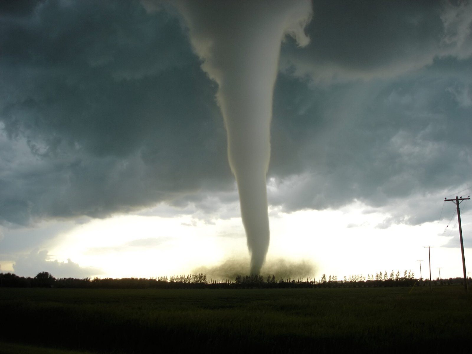
A tornado can cross a neighborhood in a few minutes. A hurricane can spend more than a week crossing an ocean. Both are rotating storms, and both can wreck a town, yet they have very little in common beyond the spinning.
People often lump them together because the damage looks similar on the news. The physics, the scale and the warning time are quite different. Here is how the two compare, from how they form to how long they last.
What Each Storm Actually Is
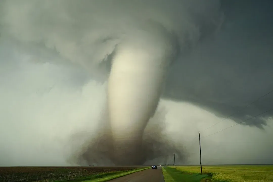
A tornado is a narrow column of rotating air that reaches from a thunderstorm cloud to the ground. It is part of a single storm cell, and it usually comes from a supercell, which is a thunderstorm with a rotating updraft. The funnel itself is only a small piece of that much larger parent storm.
A hurricane is a large tropical cyclone, a system of organized thunderstorms circling a low pressure center over warm ocean water. In the Atlantic and eastern Pacific, a tropical cyclone earns the name hurricane once its sustained winds reach 74 miles per hour. The same type of storm is called a typhoon in the northwest Pacific.
Size: Hundreds of Yards Versus Hundreds of Miles
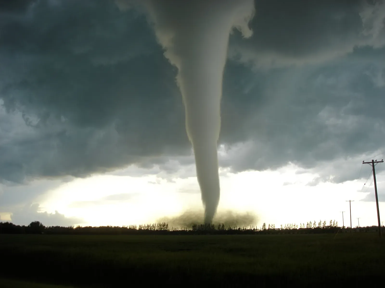
Most tornadoes are narrow. The typical path width is well under a few hundred yards, and the widest tornado on record, at El Reno, Oklahoma, in 2013, measured about 2.6 miles across according to the National Weather Service. That was an extreme exception.
Hurricanes operate on a different scale entirely. Tropical storm force winds can extend outward hundreds of miles from the center, and the whole system can span several hundred miles. A large hurricane can affect several states at once, while a tornado affects a strip of land.
Duration: Minutes Versus Days
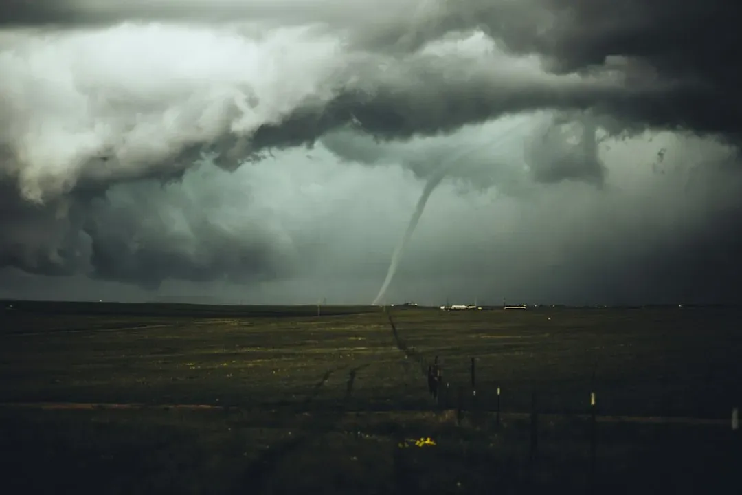
The majority of tornadoes last only a few minutes, and many are on the ground for less than ten. A small number of long-lived tornadoes have stayed down for an hour or more. The Tri-State Tornado of 1925 is the classic example, cutting a path of roughly 219 miles across Missouri, Illinois and Indiana.
Hurricanes persist far longer. A single hurricane may last from several days to a few weeks, depending on how long it stays over warm water. Hurricane John in 1994 is often cited as one of the longest lived tropical cyclones, lasting about 31 days.
How Tornadoes Form
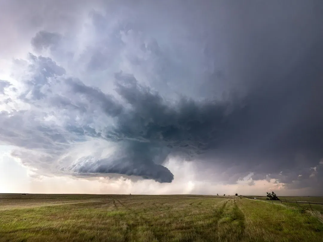
Tornado formation typically starts with unstable air, moisture near the ground and wind that changes speed and direction with height. This wind shear sets a horizontal rolling motion in the air. A strong updraft can tilt that rotation upright, creating a rotating column inside the storm called a mesocyclone.
Not every rotating storm produces a tornado, and forecasters still can’t fully explain why some do. Research projects such as VORTEX-USA, which ran field campaigns in 2022 and 2023, have aimed to improve understanding of this question. The gap is why tornado warnings often come with only minutes of lead time.
How Hurricanes Form
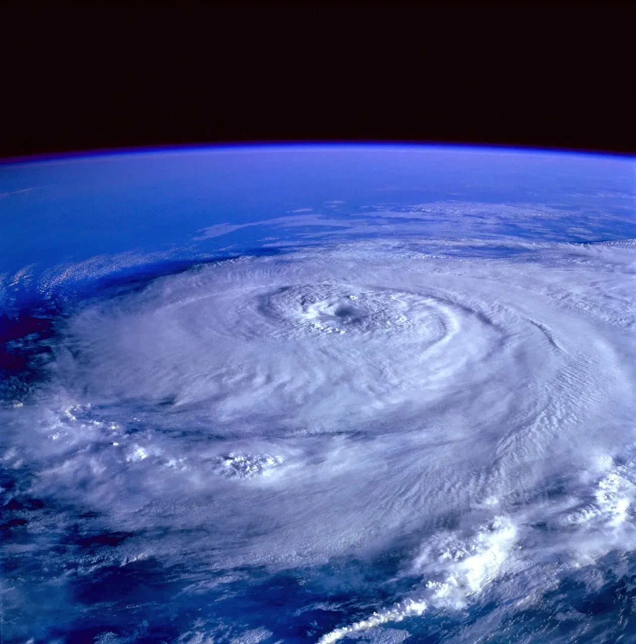
Hurricanes need ocean water of at least about 80 degrees Fahrenheit, which is roughly 26.5 degrees Celsius, along with moist air and light upper level winds. Warm water feeds the storm by evaporating into the air, and the heat released as that vapor condenses powers the system. Strong wind shear, by contrast, tends to tear developing storms apart.
Most Atlantic hurricanes begin as clusters of thunderstorms that move off the coast of Africa. The Coriolis effect, caused by Earth’s rotation, gives the system its spin, which is why hurricanes don’t form right at the equator. Over days, the cluster can organize into a tropical depression, then a tropical storm, then a hurricane.
Wind Speeds and Intensity Scales
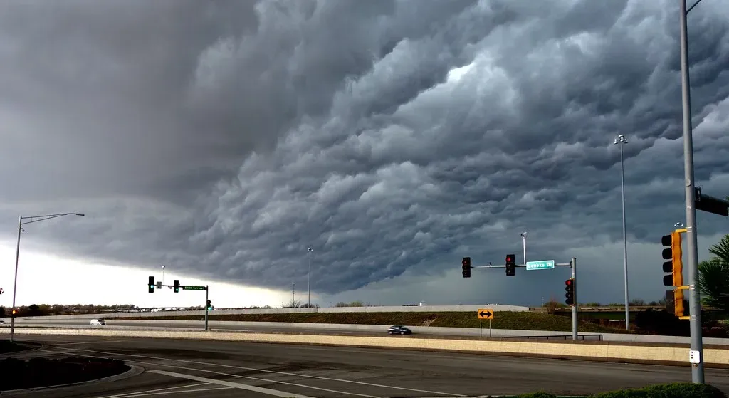
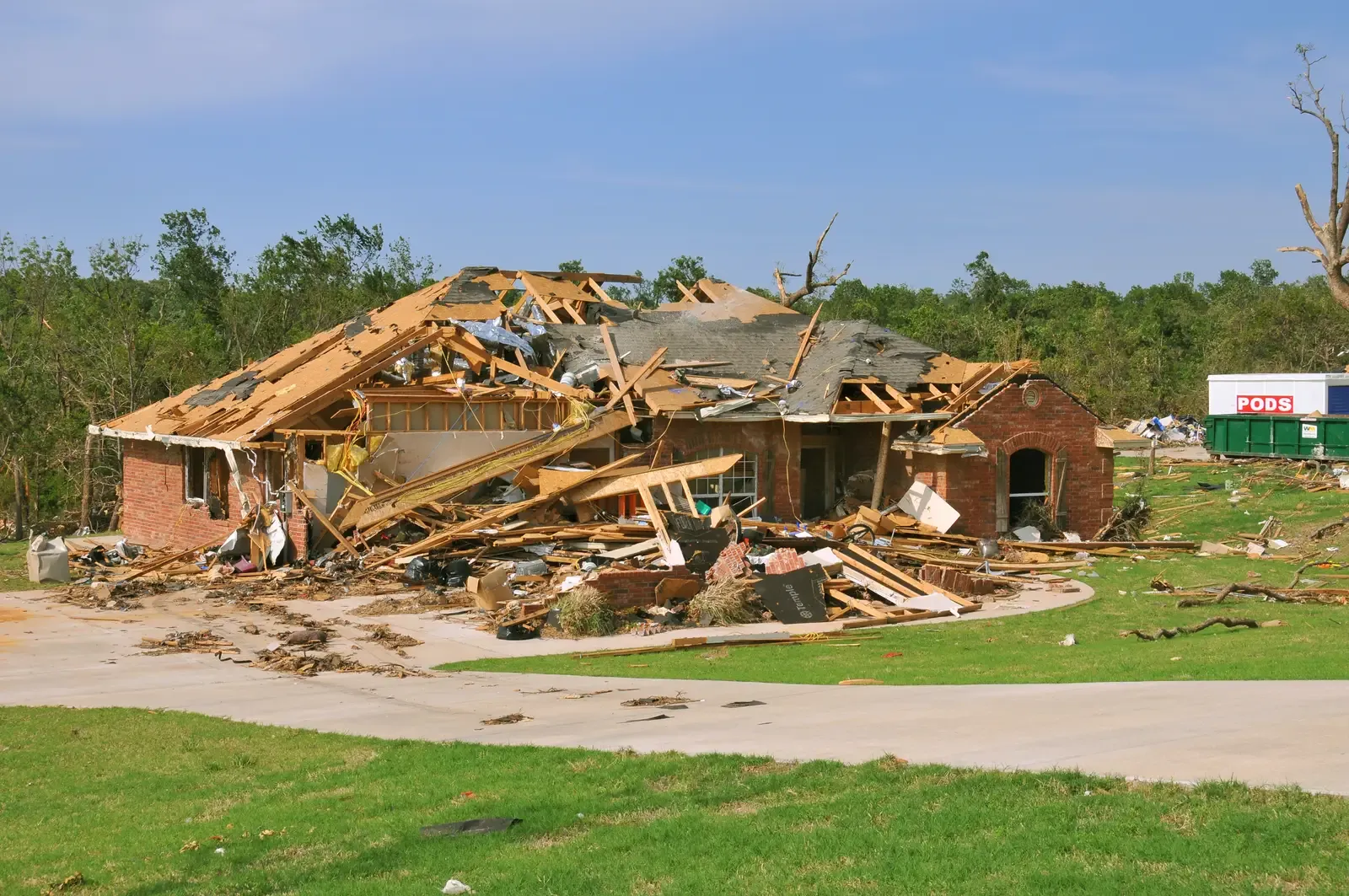
Tornadoes are rated after the fact on the Enhanced Fujita Scale, which runs from EF0 to EF5 and is based on damage surveys. An EF5 tornado has estimated winds above 200 miles per hour. Because they are rated from damage, a tornado that hits open fields may get a low rating even if it was strong.
Hurricanes are rated on the Saffir-Simpson Hurricane Wind Scale, from Category 1 to Category 5, using sustained wind speed. Category 5 begins at 157 miles per hour. Peak wind speeds in the strongest tornadoes can match or exceed those of a hurricane, but the tornado applies them over a much smaller area.
Where and When They Strike
The United States sees more tornadoes than any other country, and the peak season runs roughly from spring into early summer across the Plains and the Southeast. The country records on average well over a thousand tornadoes a year. They can occur in any state and in nearly any month.
The Atlantic hurricane season runs from June 1 to November 30, with activity peaking around early to mid September. Hurricanes affect coastal regions and sometimes push inland as weakened storms. Landfalling hurricanes can also spawn tornadoes, so the two hazards occasionally arrive together.
Types of Damage and Danger
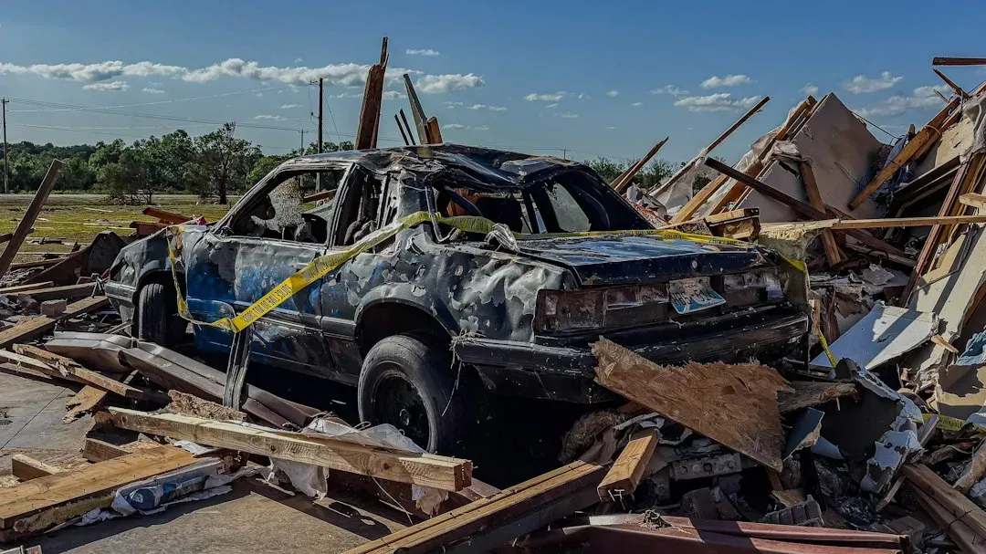
Tornado damage comes mainly from extreme winds and flying debris, concentrated along a narrow track. Within that path, destruction can be total, while homes a block away may be untouched. The danger is intensified by the speed of onset, since there is little time to react.
Hurricanes bring several hazards at once, including wind, heavy rain, inland flooding and storm surge. According to the National Hurricane Center, storm surge has historically been the leading cause of hurricane deaths in the United States. Rainfall flooding far from the coast has also been a major killer in recent storms.
Forecasting and Warning Time
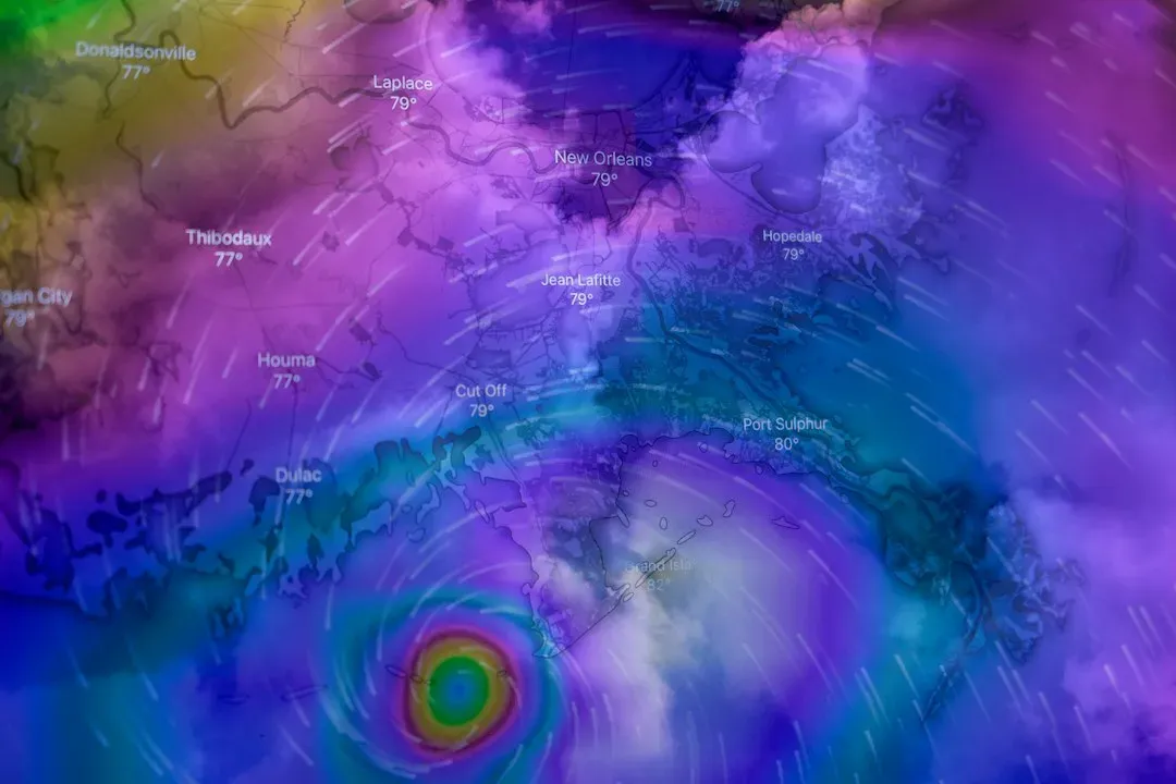
Hurricanes can be tracked for days using satellites, aircraft reconnaissance and computer models. Forecasters can issue watches and warnings well ahead of landfall, which gives communities time to evacuate. Track forecasts have improved steadily over recent decades, though predicting rapid intensification remains a challenge.
Tornado warnings rely mostly on radar detection of rotation or on spotter reports. Lead times average only several minutes, and a watch for a broad area may be issued hours earlier. That difference explains why hurricane safety often means leaving, while tornado safety means sheltering immediately in the lowest, most interior part of a sturdy building.

- Time Moving Measurably Slower Near Orbit – 5 Relativistic Quirks Astronauts Face - November 13, 2026
- 6 Things Scientists Monitor in Space That Most People Never Think About - November 13, 2026
- I Asked AI and a Waste Auditor How to Cut My Household Trash – Where They Disagreed - November 12, 2026
