

- The Planet Where It Rains Liquid Glass – 7 Alien Worlds Defying Known Physics - November 14, 2026
- Stars Consuming Entire Worlds – 6 Planetary Systems Swallowing Their Own Worlds - November 14, 2026
- The Ground Liquefies Like Water – 6 Silent Fault Lines Geologists Watch Closely - November 14, 2026
Yellowstone gets nearly all of the attention. It has the dramatic backstory, the supervolcano label, and the pop-science mythology that keeps documentaries in business. Yet there’s another volcano in the continental United States that keeps geologists considerably more preoccupied on a day-to-day basis. It sits in Washington State, towers above the greater Seattle-Tacoma region, and carries a threat profile that is, in many ways, more immediate and more complex than the famous caldera in Wyoming.
That volcano is Mount Rainier. It hasn’t produced a significant eruption in roughly 500 years. It looks serene, even beautiful, draped in glaciers and framed against the Pacific Northwest sky. The silence, though, is part of the problem. What scientists understand about the mountain’s geology makes it one of the most carefully watched and genuinely sobering volcanic threats anywhere in the country.
Why Mount Rainier Earns More Scrutiny Than Yellowstone
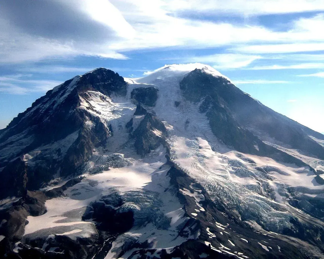
Because of its elevation, relief, hydrothermal alteration, icecap, glacier-fed radial valleys, and proximity to the encroaching suburbs of the Seattle-Tacoma metropolis, Mount Rainier is the most threatening volcano in the Cascades. That’s not a casual opinion. It’s the formal assessment of the U.S. Geological Survey, the agency that monitors every active and potentially active volcano in the country.
The USGS assigns every U.S. volcano a threat score based on 24 factors including eruption frequency, proximity to population, aviation exposure, and historical fatalities. Volcanoes scoring above a certain threshold are classified as “very high threat” and receive the most monitoring resources. Mount Rainier consistently lands near the very top of that list, not because it erupts often, but because of what an eruption – or even a non-eruptive collapse – could set in motion.
A Decade Volcano with a Global Reputation Among Scientists
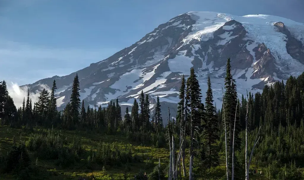
Mount Rainier is one of the Decade Volcanoes identified by the International Association of Volcanology and Chemistry of the Earth’s Interior as being worthy of particular study, due to the danger it poses to Seattle and Tacoma. The Decade Volcano designation is a rare distinction. Only 16 volcanoes worldwide have earned it.
Mount Rainier is one of only 16 Decade Volcanoes worldwide, selected by the IAVCEI for their exceptional combination of hazard and population risk. That places it alongside well-known dangerous peaks like Vesuvius in Italy and Merapi in Indonesia. The company Rainier keeps on that list tells you something important about how seriously the international volcanology community views it.
The Glacier Problem: Ice as Amplifier
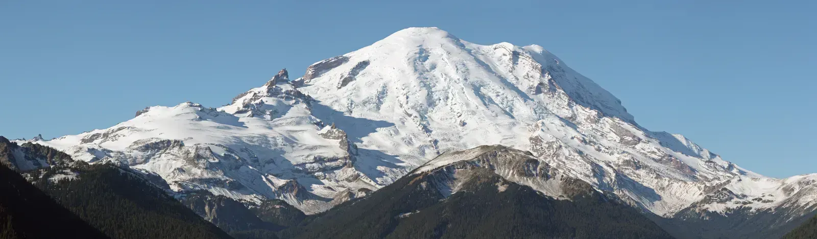
Although Mount Rainier has not produced a significant eruption in the past 500 years, it is potentially the most dangerous volcano in the Cascade Range because of its great height, frequent earthquakes, active hydrothermal system, and extensive glacier mantle. Mount Rainier has 25 major glaciers containing more than five times as much snow and ice as all the other Cascade volcanoes combined. That’s a remarkable concentration of ice sitting atop an active volcanic system.
If only a small part of this ice were melted by volcanic activity, it would yield enough water to trigger enormous lahars – debris flows and mudflows that originate on a volcano. Mount Rainier’s potential for generating destructive mudflows is enhanced by its great height above surrounding valleys. The ice isn’t just scenery. It’s an active multiplier of risk, turning what might otherwise be a manageable volcanic event into something catastrophic.
Hydrothermal Alteration: The Mountain Is Dissolving Itself From Within
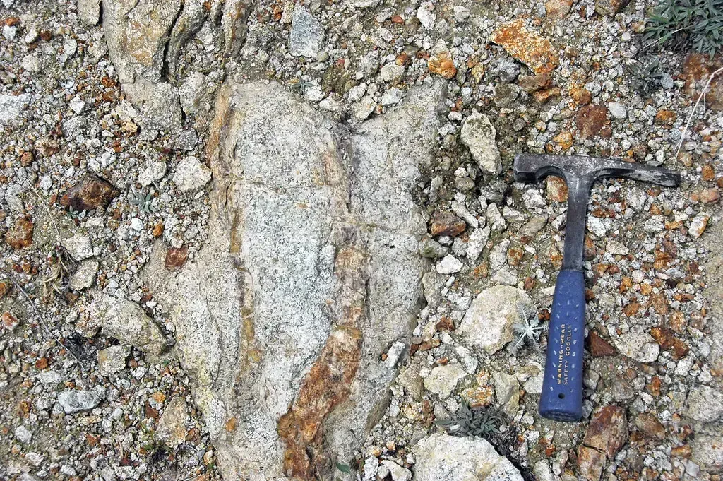
Extensive hydrothermal alteration of the upper portion of the volcano has contributed to its structural weakness, promoting collapse. An active thermal system driven by magma deep under the volcano has melted out a labyrinth of steam caves beneath the summit icecap. This internal decay is one of the most unsettling aspects of Rainier’s geology. The upper mountain is weakening from below, and it has been doing so for a very long time.
Magma releases gases and heat creating hot, acidic groundwater that, over time, can convert hard volcanic rock into weak, clay-rich rock by a process called hydrothermal alteration. When masses of water-saturated clay-rich rock slide away, they transform rapidly into a lahar. This is why scientists emphasize that an eruption isn’t even required to trigger a disaster at Rainier. The mountain could, in theory, simply let go.
Lahars: The Most Feared Hazard on the Volcano
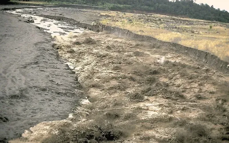
The greatest hazard from Mount Rainier is from lahars, also known as volcanic mudflows or debris flows. Areas inundated by past lahars are now densely populated and contain important infrastructure such as highways, bridges, ports, and pipelines. This is the central problem: people built their communities directly on top of the debris fields left by Rainier’s ancient flows, without always recognizing what lay beneath their feet.
A lahar is a rapidly flowing slurry of water, volcanic rock, and debris that moves like liquid concrete at speeds of 30 to 80 kilometers per hour, destroying or burying everything in its path. About 100,000 people now live in areas that have been buried by debris flows during the past few thousand years. During the past 10,000 years, about 60 giant debris flows from Mount Rainier have filled river valleys to a depth of hundreds of feet near the volcano, and have buried the land surface under many feet of mud and rock sixty miles downstream.
The Electron Mudflow: A Warning Written in the Landscape
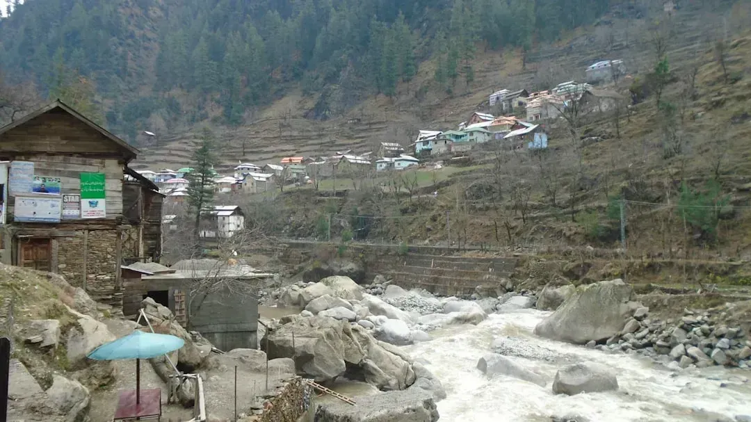
Even without an eruption, a catastrophic lahar could be triggered by gravitational collapse of the hydrothermally weakened summit, as the Electron Mudflow demonstrated only roughly 500 years ago. That event is particularly instructive because it happened with no volcanic eruption whatsoever. The mountain simply failed, and the consequences were enormous.
One of the most terrifying events occurred around 500 years ago with the Electron Mudflow. A section of the mountain gave way, and the resulting lahar surged 34 miles downriver, covering 13 square miles of land in a sludge up to 26 feet deep. Today, towns like Orting, Sumner, and Puyallup sit squarely on top of that ancient debris field. The Osceola Mudflow, roughly 5,600 years ago, was far larger still, reaching all the way to what is now the Puget Sound lowlands.
The 2025 Earthquake Swarm That Grabbed Scientists’ Attention

Earthquake activity at Mount Rainier returned to typical rates of seismicity after an earthquake swarm that began on July 8, 2025. The Volcano Alert Level and Aviation Color Code for Mount Rainier remained at NORMAL/GREEN throughout the swarm, as the activity was related to the volcano’s hydrothermal system. The swarm resulted in over 1,350 located earthquakes and thousands of additional earthquakes too small to locate.
The average depth of the earthquakes was about 2.8 miles beneath the summit of the volcano. The largest earthquake of the swarm was a magnitude 2.42 on July 11, 2025. After carefully reviewing the data, scientists from the USGS Cascades Volcano Observatory and the Pacific Northwest Seismic Network determined that earthquake activity has returned to typical rates for Mount Rainier, which has averaged about 10 earthquakes per month for the last several decades. Still, the swarm served as a reminder that the volcano is far from fully quiet.
The Monitoring Network Watching Every Tremor
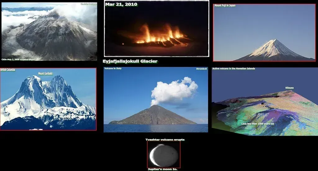
The USGS Cascades Volcano Observatory monitors the Cascades daily. Their infrasound and seismic sensors detect cracks and movement from below as magma is forced upward. Gas sensors signal changes in volcanic fumes, and GPS sensors monitor and measure ground deformation. The monitoring infrastructure at Rainier is extensive, by design.
Mount Rainier is considered a Very High Threat volcano according to the USGS National Volcano Early Warning System based on many factors including the types of hazards and distance to people, property, and infrastructure. The volcano has a widely distributed network of monitoring devices. Earthquakes near Mount Rainier are continuously monitored by a network of seismometers maintained by the U.S. Geological Survey Volcano Hazards Program and the Pacific Northwest Seismic Network, a part of the University of Washington.
The Warning System Built for a No-Notice Disaster
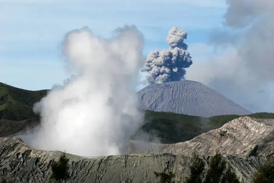
Tens of thousands of people live in areas that may have as little as 40 minutes to as much as three hours to move to safety once a large lahar is detected, so the system is robust, warnings are disseminated promptly and widely, and people in harm’s way are taught how to respond to the warnings and take protective actions. Forty minutes is not a wide margin when entire communities need to evacuate.
Forty-two sirens scattered in cities from Orting to the Port of Tacoma would activate. So-called “no notice lahars” are the reason extra sensors are concentrated in drainage areas on the southwest slopes of Mount Rainier. The system accounts for the fact that the most dangerous scenario might arrive without any of the warning signs that typically precede a volcanic eruption.
The World’s Largest Lahar Evacuation Drill

On March 21, 2024, more than 45,000 students in communities south of Seattle and west of Mount Rainier participated in the world’s largest lahar evacuation drill. That record-breaking number reflects just how many schools and children live within the mapped inundation zones around the volcano. It’s a sobering figure when you consider what that density of population means in a genuine emergency.
Schools in Rainier’s lahar hazard zones take preparing for this hazard very seriously, practicing lahar evacuation drills every two years, or every year in Orting. In these drills, thousands of students and faculty practice what they would do in the event of a lahar. The 2026 Regional Lahar Evacuation Drill was already in coordination at the time of writing, continuing this pattern of practice that has become an annual rhythm of life for communities near the mountain.
Yellowstone vs. Rainier: A Question of Proximity
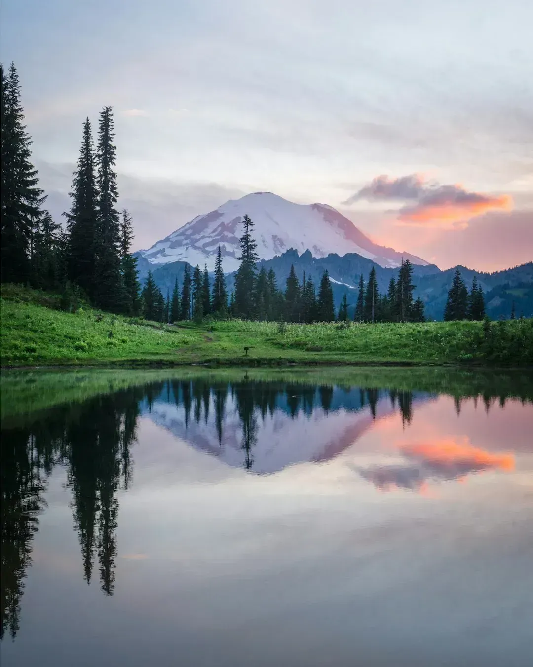
Yellowstone’s last major eruption was roughly 640,000 years ago. Its magma system is real and actively monitored, but the threat it poses, while theoretically enormous, is geologically remote in time. Yellowstone has been volcanically quiet for about 70,000 years, shows no sign of a brewing eruption, and would almost certainly telegraph a big event with months of earthquakes first. Mount Rainier, by contrast, presents a threat that could unfold without a single eruption, with little warning, and directly into one of the most densely populated corridors in the Pacific Northwest.
In the Cascade Range vicinity, the number of people at immediate risk during eruptions is greater than at any other volcanic area within the United States. More than 10 million people live in Washington and Oregon alone, and populations are increasing in areas at risk for volcanic hazards. Yellowstone sits in a wilderness that most people will never live near. Rainier sits less than 70 miles from Seattle, fully visible on a clear day from downtown city streets.
What the Future Holds for the Sleeping Giant
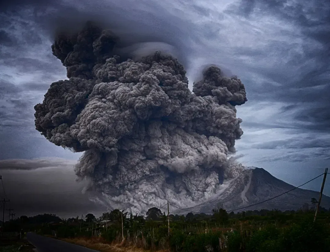
The volcano has averaged roughly one eruption per century over the past 2,600 years, and its current dormancy of roughly 575 years, while longer than average, falls well within the range of historical repose intervals. The USGS considers future eruptions inevitable on a geological timescale, though predicting the timing of any specific eruption is not currently possible.
Mount Rainier is behaving about as it has over the last half-million years, so all evidence suggests that the volcano will continue to erupt, grow, and collapse. That quiet continuity is precisely what makes the mountain so difficult to dismiss. It isn’t doing anything alarming right now. It’s simply doing what it has always done, on a timescale that doesn’t align neatly with human lifetimes or news cycles. The science says this mountain will eventually make its presence known again, and the communities living in its shadow have chosen to prepare rather than look away.
