


- That Metallic Taste in Storm Air – How Lightning Generates Pure Ozone - November 16, 2026
- Atlantic Hurricane Activity Has Often Rebounded After Strong El Niño Years, Records Show - November 15, 2026
- The Planet Where It Rains Liquid Glass – 7 Alien Worlds Defying Known Physics - November 14, 2026
1. Your Property Sits Lower Than the Street or Your Neighbors’ Lots
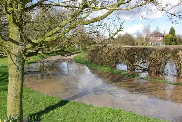
Elevation is one of the clearest tells, and it doesn’t require a survey to notice. Topographic position is probably the single most important factor in local flood risk that FEMA maps don’t capture, since water flows downhill and collects in low points, so if a lot is lower than the street or sits at the bottom of a hillside, sheet flow from rain events concentrates there rather than draining away. The fix isn’t always complicated either.
Even a 6-inch difference in grade can matter, and if a driveway entrance sits below the street by that much in an area with heavy clay soils, water from the street runs toward the garage floor during intense rain. This is a good reason to stand outside during the next heavy downpour and simply watch where the water goes.
2. You Notice Faint Stains or Discoloration in the Basement
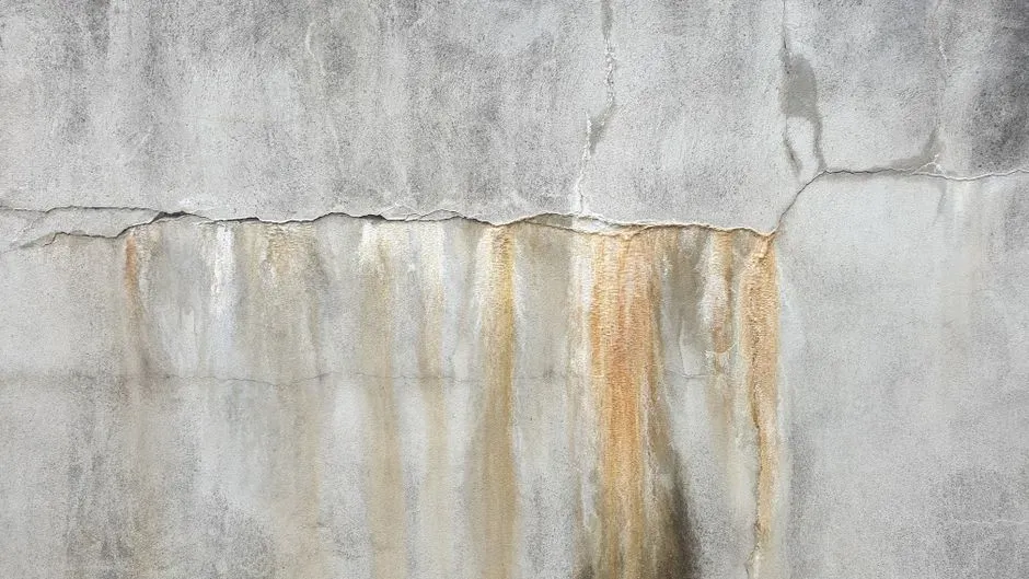
Basements keep records that homeowners often miss until something goes wrong. Basement walls tell the history of water that has moved through or past them, and horizontal discoloration at a consistent height, often a darker band on lighter concrete or block, indicates water has stood in the basement at that level. This kind of evidence tends to get painted over or ignored during a quick walkthrough before a home purchase.
It’s worth crouching down with a flashlight and actually looking, rather than trusting a quick glance. A stain line near the floor might mean nothing serious, but a band that runs several inches up the wall suggests recurring water intrusion that a seller or a previous owner never fully disclosed.
3. You Live Near a Storm Drain, Culvert, or Detention Basin
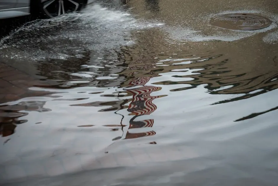
Rivers get most of the attention, but plenty of flooding has nothing to do with a river at all. Urban and suburban flood risk is often driven not by rivers but by overtaxed stormwater infrastructure, and a property near a storm drain outfall, a drainage channel, or a low-lying stormwater detention basin can flood when system capacity is exceeded during heavy rainfall, even in a zone labeled low risk, because this type of flooding doesn’t appear in FEMA’s riverine models. That last part matters more than it sounds.
A property can look perfectly safe on an official flood map and still flood regularly because the nearest storm drain simply can’t keep up during a heavy downpour. This gap between mapped risk and actual risk is one reason so many claims come from areas nobody expected trouble.
4. Your House Has a Basement Near a River, Lake, or Wetland
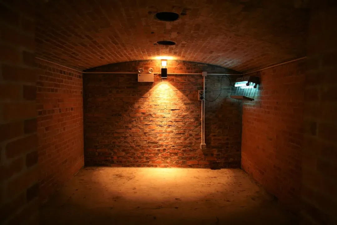
Groundwater doesn’t always announce itself the way surface flooding does. Groundwater tables are typically connected to nearby surface water, and a property with a basement within 200 feet of a river or lake may experience groundwater seepage during periods of sustained high water, not from direct flooding but from hydrostatic pressure as the water table rises, a chronic and lower-severity risk that FEMA zone designations don’t capture. That kind of seepage tends to show up as a musty smell or a slowly dampening wall rather than a dramatic event.
Homeowners often mistake this for a plumbing issue or condensation problem, when the actual cause is sitting just outside the foundation. It’s a slow, cumulative kind of damage rather than a sudden disaster, which makes it easy to underestimate for years.
5. Your Soil Type Doesn’t Drain Well
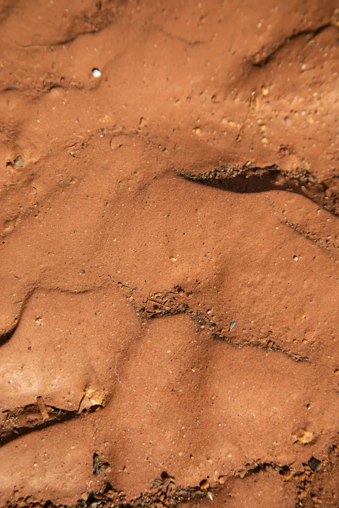
Not all ground handles rain the same way, and this is one of the more overlooked factors in flood exposure. Soil type determines how quickly water infiltrates versus how quickly it runs off, and heavy clay soils, common across the Southeast, Midwest, and Pacific Northwest, have very low infiltration rates, so water sits on the surface and concentrates into drainage channels and low points rather than percolating into the ground, meaning a property on clay soil faces higher runoff accumulation regardless of its official flood zone designation. This is one reason two houses on the same street, both outside a mapped flood zone, can have wildly different experiences during the same storm.
A quick way to get a sense of this is to watch a puddle after rain. If water lingers on the lawn for hours or even a full day, the soil underneath is likely working against you rather than for you.
6. Your Flood Zone Designation Is Outdated or Was Never Refined
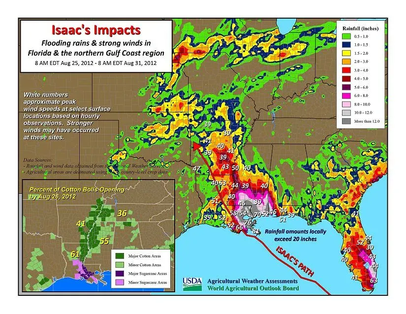
FEMA maps are useful, but they were never designed to be the final word on every property. A FEMA flood zone designation is a starting point, not the whole answer, because flood maps are built on regional models and historical data that miss the specific characteristics of a lot, a neighborhood’s drainage capacity, and a home’s construction details. That gap has real financial consequences, since a sizable share of claims originate outside the areas officially considered high risk.
Between 2014 and 2024, nearly one-third of NFIP flood insurance claims came from areas located outside of current high-risk flood areas. Since 1 of every 3 claims comes from low-moderate risk zones, flood insurance is strongly recommended for properties in those areas too. In other words, being outside the red zone on a map is reassuring, but it’s not proof of safety.
7. Your Region Has Seen More Intense Rainfall in Recent Years
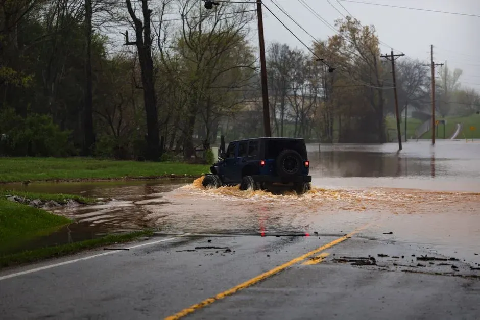
Climate patterns are shifting the baseline for what counts as normal rainfall, and that shift is reshaping flood exposure even in places with no history of it. As the atmosphere warms, it holds about 7% more moisture for every degree Celsius that the temperature rises, meaning more moisture is available to fall as rain, potentially raising the risk of inland flooding. This isn’t a distant, theoretical trend either.
In 2025, the U.S. recorded 14 separate 24-hour periods with rainfall amounts equivalent to a 1-in-1,000-year flood, the highest count since 2002, alongside catastrophic flash flooding in Central Texas and extensive inundation along the Mississippi Valley. Homeowners in areas that have historically been dry are increasingly finding that the old assumptions about “safe” rainfall totals no longer hold up the way they once did. Taken together, these signs point to a simple reality: flood risk is rarely confined to a neatly drawn line on an official map. Elevation, drainage, soil, nearby infrastructure, and shifting rainfall patterns all interact in ways that maps alone can’t fully capture. Anyone unsure about their own exposure would do well to walk their property during the next heavy rain, check their FEMA designation for any updates, and talk to a local insurance agent about coverage options before the next storm season arrives rather than after.
