

- The Planet Where It Rains Liquid Glass – 7 Alien Worlds Defying Known Physics - November 14, 2026
- Stars Consuming Entire Worlds – 6 Planetary Systems Swallowing Their Own Worlds - November 14, 2026
- The Ground Liquefies Like Water – 6 Silent Fault Lines Geologists Watch Closely - November 14, 2026
How artificial intelligence is learning to read a river’s pulse
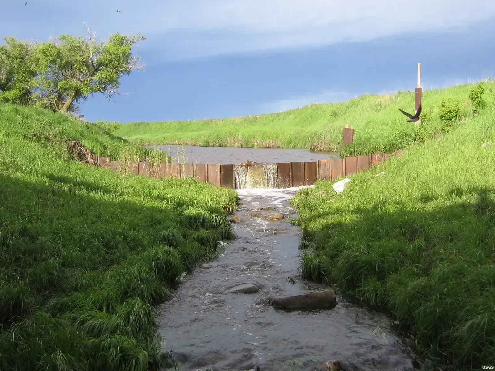
The most concrete example of AI river forecasting in action comes from the United States Geological Survey, which released a machine learning tool called River DroughtCast in early 2026. The USGS has released a new machine learning tool capable of predicting streamflow drought conditions up to 13 weeks in advance. That is a meaningful window for farmers, utilities, and reservoir operators who usually only find out about a shortage once it has already arrived.
What makes the tool notable is the scale of data behind it. The River DroughtCast draws on data from more than 3,000 USGS streamgage locations, some carrying over a century of continuous flow records. The system is not predicting rainfall so much as a subtler condition. Unlike meteorological drought, which is defined by lack of rainfall, streamflow drought is shaped by a combination of factors, including soil moisture, snowpack, and groundwater levels, which makes it harder to anticipate but critically important for anyone who depends on rivers and streams for water supply.
Colorado River: the American Southwest’s cautionary tale
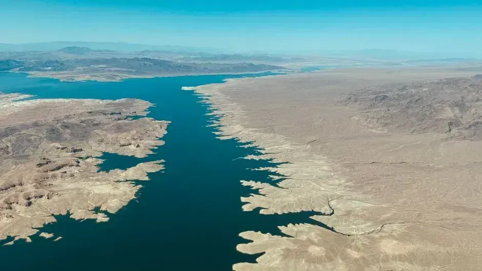
No river gets more attention from AI researchers right now than the Colorado, and for good reason. Since 2000, as temperatures have climbed, the flow of the Colorado has averaged 21% less than during the last century, and since 2020 the river has shrunk about 32%, according to federal data. Snowpack readings in early 2026 underscored just how fragile the system has become. Snowpack in the upper Colorado River basin is far below normal, with measurements across 130 sites at about 35 percent of the median as of late March 2026.
AI models built to forecast the river’s future are running into an unusual problem: the past no longer looks like the present. The models learn from historical data, but that data describes a river that no longer exists. One researcher working on the basin found that shorter, more recent records actually produced better forecasts than long historical ones. Valipour found that feeding his models only the last decade outperformed using longer records. Longer-range projections are just as sobering, with University of Colorado Boulder researchers estimating that flows in the Colorado River could drop 30% more by 2050 due to climate change, and that pre-climate flow levels are not coming back.
Rio Grande: drying earlier and farther upstream every year

If the Colorado is the poster child for Western water stress, the Rio Grande is quickly becoming its quieter, more extreme counterpart. In the spring of 2026, federal water managers warned that this winter’s lack of snowpack could leave parts of the Rio Grande through Albuquerque dry this summer. The drying has also started unusually early in the season. Drying began in the San Acacia reach on March 27, the earliest recorded date for that area in the past three decades.
The pattern is no longer a one-off event. In 2022, the Rio Grande in Albuquerque experienced drying for the first time in more than 40 years, and this pattern of drying was repeated in 2025, with water managers expecting another occurrence in the coming weeks unless weather conditions change significantly. Longtime river managers say the trend is unmistakable. Long-term data reveals clear warming and drying trends, said Jason Casuga, the Middle Rio Grande Conservancy District’s chief engineer and CEO. Even accounting for natural variability, the broader decline is stark. The river has lost roughly 85% of its historic flows due to overuse and a years-long megadrought.
Nile River: population growth meets a shrinking flow
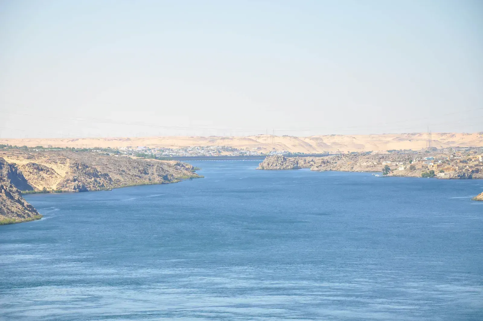
The Nile has survived droughts, wars, and dam disputes for thousands of years, but the twenty-first century is testing it in a genuinely new way. The river’s two main branches originate far apart and behave differently under climate pressure. The longer of two branches, the White Nile, extends from the mountains east of Lake Tanganyika through Lake Victoria to the Nile delta, while the shorter branch, the Blue Nile, springs from the Ethiopian Highlands and contributes the majority of the river’s flow. That dependence on Ethiopian highland rainfall makes the Nile especially sensitive to shifting monsoon patterns.
Downstream pressures compound the problem. Rising populations in Egypt and Sudan mean more water is drawn from the same river even as evaporation rates climb with regional temperatures. Analysts who track the world’s most strained rivers have long grouped the Nile with a small set of waterways facing similar structural risk. The Indus, the Nile, the Murray-Darling, the Colorado, these are but a few of the once mighty rivers that now struggle to reach the sea. Water planners in the basin now treat every below-average rainy season as a signal worth watching closely, rather than a routine fluctuation.
Indus River: a glacier problem hiding in plain sight
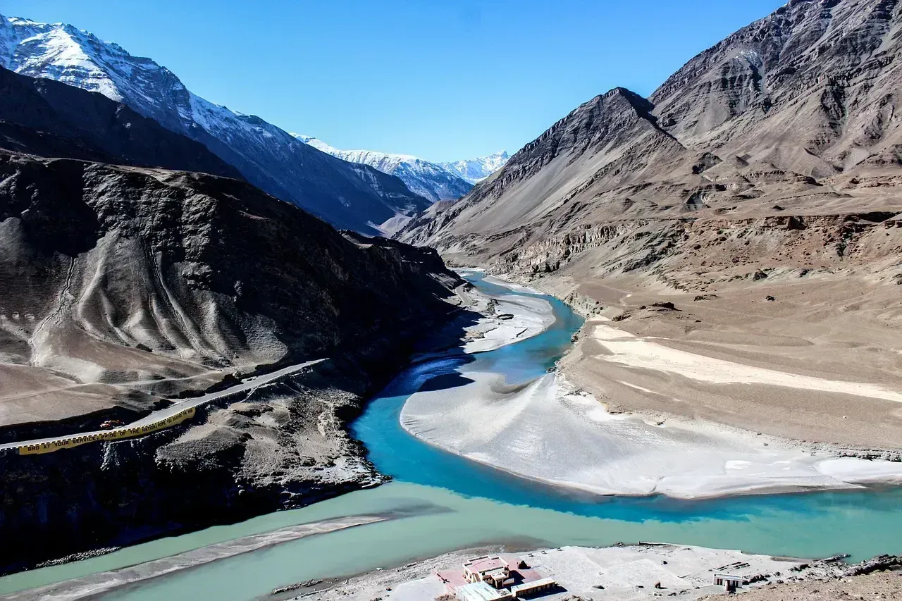
The Indus depends on glaciers in a way few other major rivers do, which makes it a particular focus for long-range forecasting. The Mekong, Indus, and Yangtze are fed by glaciers that both supply and modulate their water flow, and these glaciers are melting due to climate change, threatening irrigation systems, electricity generation, and drinking water reserves in some of the most densely populated areas of the planet. Glacial melt can temporarily boost flow, which is part of why the danger is easy to miss until it is too late.
Infrastructure adds another layer of strain. Two of the largest dams in Pakistan, Mangla and Tarbela, are in decline due to silt build-up in their water storage facilities. Combine aging storage capacity with a glacier feed that will eventually thin out, and the Indus looks less like a river with a single crisis and more like one with several converging on the same decades. The system feeds the 3,000 km-long Indus River, which is the 8th longest in the world, supporting one of the most densely populated agricultural regions on the planet.
Yangtze River: China’s economic lifeline under strain
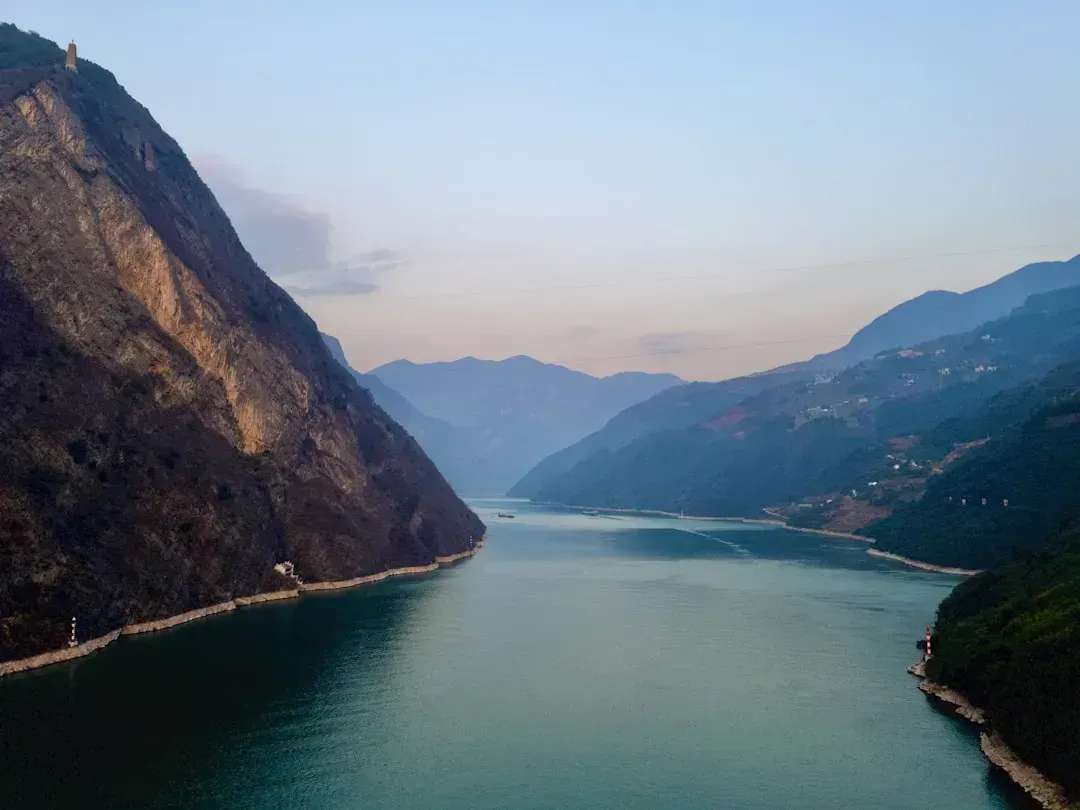
Asia’s longest river has already shown how quickly a modern economy can feel the effects of a drying waterway. During the 2022 drought, in Sichuan, a province of 84 million people, hydropower makes up about 80% of electricity capacity, much of it coming from the Yangtze River, and as its flow slowed down, power generation dwindled, leaving authorities to order factories shut for six days. That kind of cascading disruption, from river to reservoir to power grid to factory floor, is precisely the scenario AI drought models are trying to anticipate before it happens again.
The scale of the 2022 event still stands as a benchmark researchers use to calibrate their forecasts. Rainfall in 2022 reached record low levels at around 45 percent lower than normal on the Yangtze, with entire sections and dozens of tributaries drying up, unable to cope with precipitation of less than 154.5 millimeters, just as the mean daily maximum temperature came at 3.4 degrees Celsius higher than the 1981 to 2010 average. Researchers now warn that repeated low-flow years carry a hidden climate cost of their own. The drying-up of the Yangtze river can accelerate the release of stored carbon into the atmosphere, leading to greater greenhouse gas emissions and worsening climate change.
Murray-Darling Basin: Australia’s salinity and scarcity squeeze
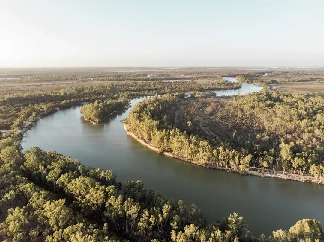
Australia’s largest river system faces a different flavor of the same problem: too much water taken out, not enough coming back in. The Murray is Australia’s longest and arguably most important river, flowing from the Australian Alps across the inland plains, and the Murray Valley is Australia’s most productive agricultural zone due to irrigation, with the river also supplying 40% of Adelaide’s drinking water. That combination of intensive farming and urban dependence leaves very little margin for a run of dry years.
As extraction has increased, the consequences have shown up in the water itself, not just its volume. As more water is sucked out of the river, rising salinity threatens agricultural productivity, and diversions and disruptions have reduced flow significantly, leading to a drought-like situation. Forecasting models for the basin now have to account for both a shrinking flow and a chemically changing one, which adds a layer of complexity that pure rainfall based drought models were never designed to handle.
Amu Darya and the ghost of the Aral Sea
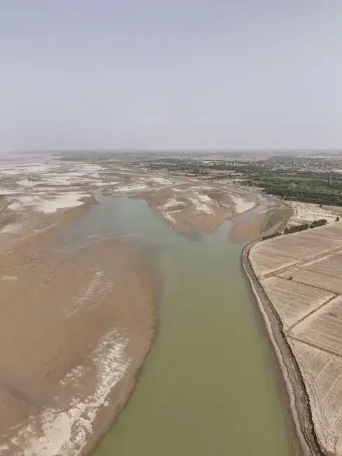
Central Asia offers the starkest warning of what happens when a river’s forecast goes unheeded for too long. The Amu Darya once fed one of the largest inland bodies of water on Earth, and its decline is now treated as a textbook case in water mismanagement. The drying of the Aral Sea, a once-vast inland sea fed by rivers like the Amu Darya and Syr Darya in Central Asia, followed intense irrigation projects for cotton production in the 20th century that led to the near collapse of the sea, turning much of its basin into a desert.
Restoration efforts since have made only limited progress. Despite efforts at restoration, much of the damage is irreversible. The Amu Darya matters to current AI forecasting work mainly as a reference point, a demonstration of how quickly a river system can pass a threshold that no amount of later intervention can fully reverse. Researchers building drought models for other glacier and snowmelt fed basins now cite the Aral Sea basin specifically when arguing for earlier, more conservative water allocation decisions.
Why AI’s river forecasts still come with an asterisk
For all the promise of machine learning, researchers are increasingly candid about where these models fall short. A January 2026 study using explainable AI techniques uncovered some troubling patterns in how popular river forecasting models actually reason. In rainy regions, the models sometimes assume that heat waves or dry air make rivers rise even when no rain falls, and in snowy regions they often treat evaporation as the main trigger for snowmelt instead of temperature, patterns that are not physically realistic.
That matters most when conditions stop resembling the historical record, which is exactly what is happening across the American Southwest right now. As global temperatures rise, the relationships among rain, snow, temperature and evaporation will change, and if models are built on flawed logic, their predictions for future water availability could be unreliable. Colorado basin researchers have already run into this limitation directly. Filali Boubrahimi’s model struggles most in drought conditions, precisely when predictions matter most, because recent prolonged droughts don’t resemble the historical training data. The lesson emerging from multiple research teams is consistent: AI can extend the warning window for a drying river, but it cannot yet fully substitute for the physics of how water actually moves through a changing landscape.
The takeaway
None of the rivers covered here are being singled out because of some dramatic one-time event. They are on this list because the underlying numbers, snowpack, precipitation trends, extraction rates, keep moving in the same direction year after year. AI tools like River DroughtCast are giving water managers a genuinely useful early warning system, even if the models themselves are still catching up to a climate that no longer behaves like its own history.
What happens next for the Colorado, the Rio Grande, the Nile, and the others will depend less on any algorithm and more on the decisions made by the people who manage them. The forecasts can tell us where the pressure is building. Whether that pressure turns into a permanently drier river is still, for now, a question of policy as much as physics.
