


- The Planet Where It Rains Liquid Glass – 7 Alien Worlds Defying Known Physics - November 14, 2026
- Stars Consuming Entire Worlds – 6 Planetary Systems Swallowing Their Own Worlds - November 14, 2026
- The Ground Liquefies Like Water – 6 Silent Fault Lines Geologists Watch Closely - November 14, 2026
1. Nile River – 6,650 Kilometers
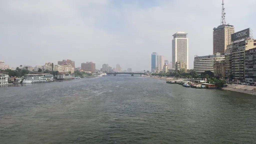
The Nile has long held the title of the world’s longest river, stretching roughly 6,650 kilometers through northeastern Africa. It flows through eleven countries, though Egypt and Sudan depend on it most heavily for drinking water, irrigation, and hydroelectric power. Its two main tributaries, the White Nile and the Blue Nile, meet in Khartoum before continuing north toward the Mediterranean Sea.
For thousands of years, the Nile’s annual flooding deposited nutrient rich silt across its banks, allowing ancient Egyptian agriculture to flourish in an otherwise arid region. Today, the river remains central to modern Egyptian life, though disputes over water rights, particularly involving the Grand Ethiopian Renaissance Dam upstream, continue to create tension between Nile basin countries. Despite these political challenges, the Nile’s cultural and economic importance has never really faded.
2. Amazon River – 6,400 Kilometers
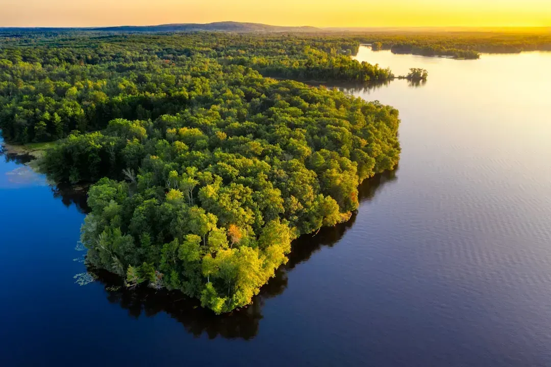
The Amazon River winds through South America for about 6,400 kilometers, though some researchers argue newer satellite measurements push it closer to the Nile’s length or even slightly beyond it. What’s undisputed is its sheer volume. The Amazon discharges more water into the ocean than the next several largest rivers combined.
It begins high in the Peruvian Andes and travels eastward across Brazil before emptying into the Atlantic Ocean. Along the way, it supports the largest rainforest ecosystem on Earth, home to an extraordinary range of plant and animal species found nowhere else. The river’s width can exceed 10 kilometers in some stretches during the rainy season, making parts of it feel more like an inland sea than a river.
3. Yangtze River – 6,300 Kilometers
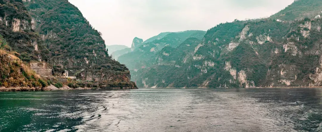
Asia’s longest river, the Yangtze, runs approximately 6,300 kilometers through central China before reaching the East China Sea near Shanghai. It has served as a critical transportation and trade corridor for centuries, linking inland provinces to coastal cities. The river basin alone supports a significant share of China’s population and agricultural output.
The Yangtze is also home to the Three Gorges Dam, the largest hydroelectric power station in the world by installed capacity. While the dam has provided substantial clean energy and flood control benefits, it has also altered local ecosystems and displaced millions of people during construction. The river’s economic weight makes it one of the most heavily monitored waterways on the planet.
4. Mississippi–Missouri River System – 6,275 Kilometers
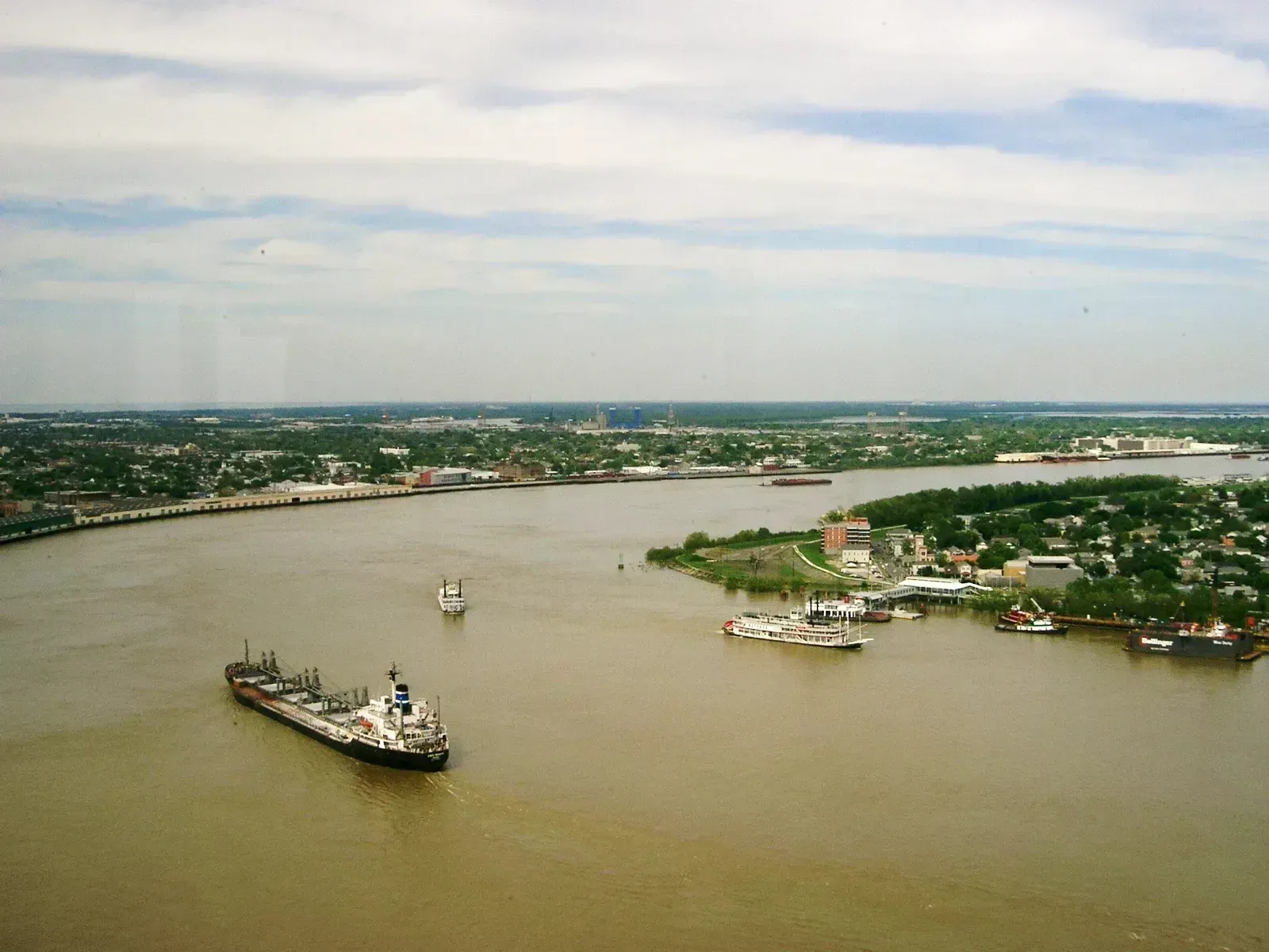
When combined with its longest tributary, the Missouri River, the Mississippi River system stretches about 6,275 kilometers across the central United States. The Mississippi alone begins at Lake Itasca in Minnesota and flows south to the Gulf of Mexico, while the Missouri joins it near St. Louis after originating in the Rocky Mountains of Montana. Together they form the backbone of one of the largest drainage basins in the world.
This river system has shaped American history in profound ways, from early trade routes to the devastating floods that periodically reshape its floodplain communities. It remains a major artery for shipping grain, coal, and other bulk goods. Farming communities along its banks depend heavily on its water for irrigation, particularly in drought prone years.
5. Yenisei River – 5,539 Kilometers
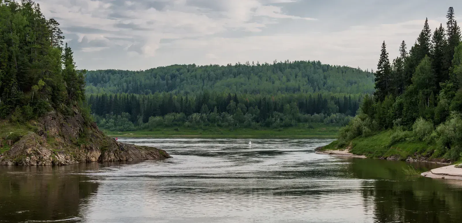
Flowing through Siberia, the Yenisei River covers roughly 5,539 kilometers before draining into the Arctic Ocean’s Kara Sea. It’s one of the least populated major rivers on Earth, passing through vast stretches of forest and tundra with relatively few large cities along its path. The river freezes for much of the year, which limits navigation to a narrow seasonal window.
Despite its remote location, the Yenisei plays a significant ecological role, carrying enormous volumes of fresh water into the Arctic each year. Scientists studying climate change closely monitor rivers like the Yenisei because shifts in Arctic river discharge can influence ocean salinity and circulation patterns far beyond Siberia. Its basin also holds important mineral and energy resources that continue to attract industrial interest.
6. Yellow River – 5,464 Kilometers
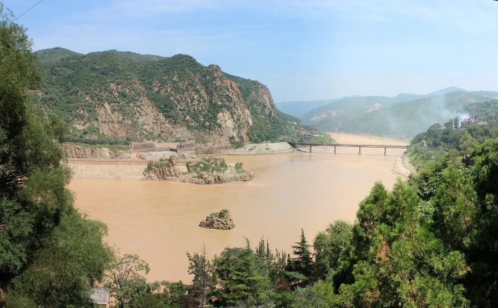
Known in Chinese as the Huang He, the Yellow River runs about 5,464 kilometers and is often called the cradle of Chinese civilization. Its muddy, silt heavy waters give the river its name and its color, a result of the loose loess soil it carries from the Loess Plateau. This same silt has historically made the river prone to devastating floods, earning it the grim nickname “China’s Sorrow.”
Modern flood control infrastructure, including dams and reinforced levees, has significantly reduced the frequency of catastrophic flooding compared to earlier centuries. Even so, water scarcity has become an increasing concern in recent years, as agricultural and industrial demand along the river’s course continues to grow. Chinese authorities have invested heavily in water diversion projects to balance these competing needs.
7. Ob–Irtysh River System – 5,410 Kilometers
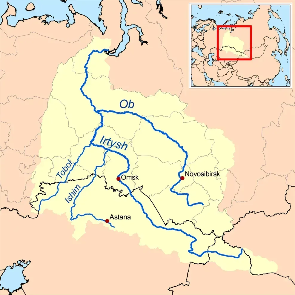
The Ob River, combined with its main tributary the Irtysh, stretches roughly 5,410 kilometers across Russia and parts of Kazakhstan and China. The Irtysh actually originates first in the Altai Mountains before merging with the Ob in western Siberia. Like the Yenisei, this river system eventually empties into the Arctic Ocean, contributing to the massive volume of fresh water entering polar seas.
The Ob basin is rich in oil and natural gas reserves, making it economically important to Russia’s energy sector. Harsh winters freeze much of the river for several months each year, which shapes both regional transportation and local wildlife patterns. Indigenous communities in the region have relied on the river for fishing and travel for generations.
8. Paraná River – 4,880 Kilometers
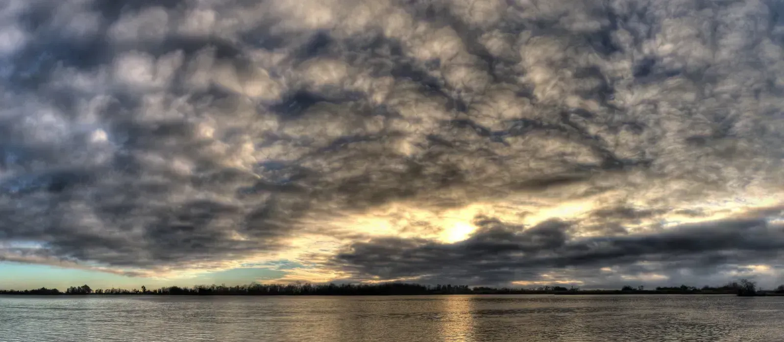
South America’s second longest river, the Paraná, flows for about 4,880 kilometers through Brazil, Paraguay, and Argentina before joining the Río de la Plata estuary near Buenos Aires. It forms a vital transportation route for landlocked Paraguay, giving the country crucial access to Atlantic shipping lanes. The river also powers the Itaipu Dam, one of the largest hydroelectric facilities in the world, jointly operated by Brazil and Paraguay.
Agricultural exports, particularly soybeans and grain from Argentina and Paraguay, travel down the Paraná in massive quantities each year. Recent droughts in the region have periodically lowered water levels enough to disrupt shipping, drawing attention to how climate variability is affecting South American trade routes. The river’s basin also supports diverse wetland ecosystems, including parts of the Pantanal.
9. Congo River – 4,700 Kilometers

Rounding out the list, the Congo River flows approximately 4,700 kilometers through central Africa, making it the continent’s second longest river after the Nile. It’s notable for being the deepest river in the world, with sections plunging over 200 meters in depth. The Congo also boasts the second highest water discharge of any river globally, trailing only the Amazon.
Because it crosses the equator twice, the Congo maintains a relatively steady flow throughout the year, unlike rivers that depend on seasonal monsoons or snowmelt. This consistency has made it a critical hydroelectric resource, with the Inga Dams representing some of the largest untapped hydropower potential on Earth. The surrounding Congo Basin rainforest, the second largest tropical forest after the Amazon, depends on the river’s network for both water and transportation.
