

- Atlantic Hurricane Activity Has Often Rebounded After Strong El Niño Years, Records Show - November 15, 2026
- The Planet Where It Rains Liquid Glass – 7 Alien Worlds Defying Known Physics - November 14, 2026
- Stars Consuming Entire Worlds – 6 Planetary Systems Swallowing Their Own Worlds - November 14, 2026
From the ground, a hurricane is something you prepare for and wait out. For a small group of scientists, pilots and engineers based in Florida, it’s a place they go to work.
The details of those flights come mostly from the crews and agencies involved, and the 2024 and 2025 seasons gave them plenty to describe. Here is what a mission looks like, from the aircraft to the data to the rough moments in between.
Two Agencies, One Shared Mission
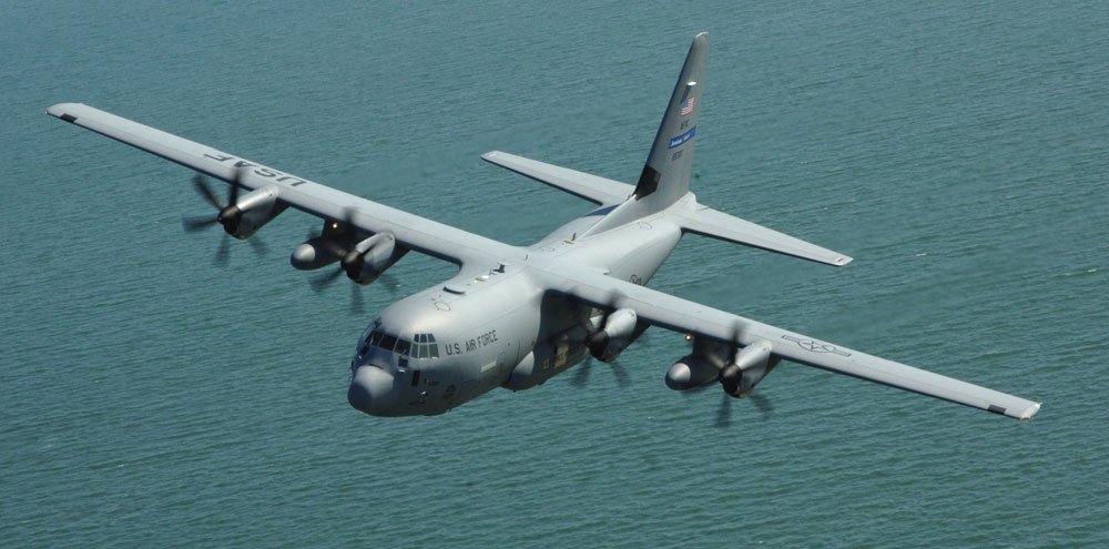
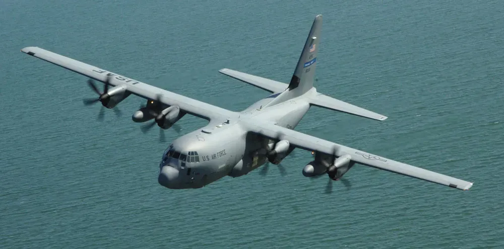
Two organizations fly into storms. NOAA operates its own aircraft, and the Air Force Reserve’s 53rd Weather Reconnaissance Squadron flies out of Keesler Air Force Base in Mississippi. The mission spans both agencies, NOAA and the U.S. Air Force, and the crews work in some of the harshest weather on Earth.
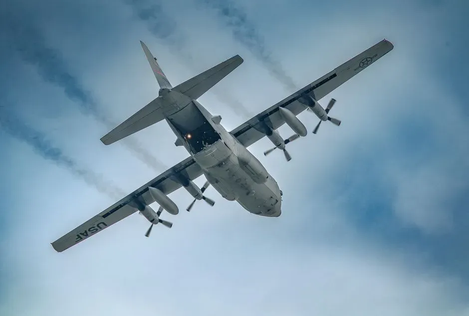
The Air Force crews fly the WC-130J Super Hercules. That aircraft carries a crew of five: the pilot, co-pilot, navigator, flight meteorologist and weather reconnaissance loadmaster. The two groups cover different parts of the job, but both feed the same forecasters.
Why Planes Still Matter in the Satellite Age
Satellites watch every storm all the time, so it’s fair to ask why anyone still flies in. An Air Force reconnaissance weather officer put it simply. The data gathered inside a storm is unique and can’t be captured from space.
The crews measure wind speed, pressure, temperature and humidity. That data is sent in real time to the National Hurricane Center and shared with NOAA, the Navy and other forecasting agencies. The goal is better forecasts and more time for people to prepare.
A Flying Laboratory With Muppet Names
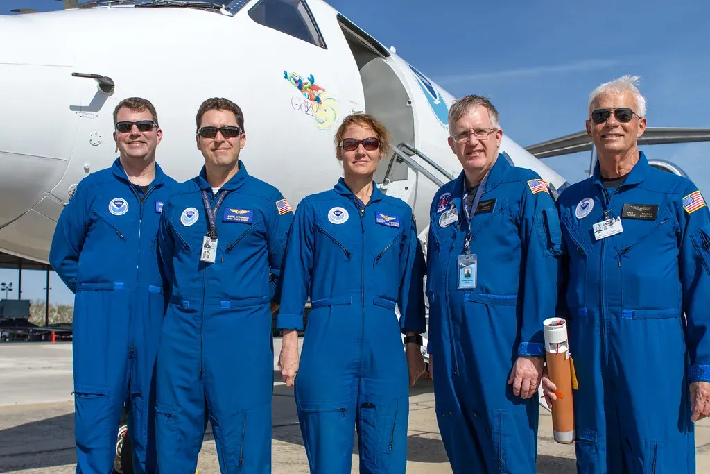
NOAA’s fleet is small. Its three Hurricane Hunter aircraft deployed more than 1,300 instruments during the 2025 season. Those included GPS dropsondes and small uncrewed aircraft.
The planes have nicknames, and the trio of Muppet-inspired names covers similar functions, with each plane serving as a high-flying laboratory. One of them, the WP-3D Orion known as Kermit, flew into Hurricane Melissa. Behind the playful names is serious scientific equipment.
The Radar That Scans the Storm Like a CT Machine
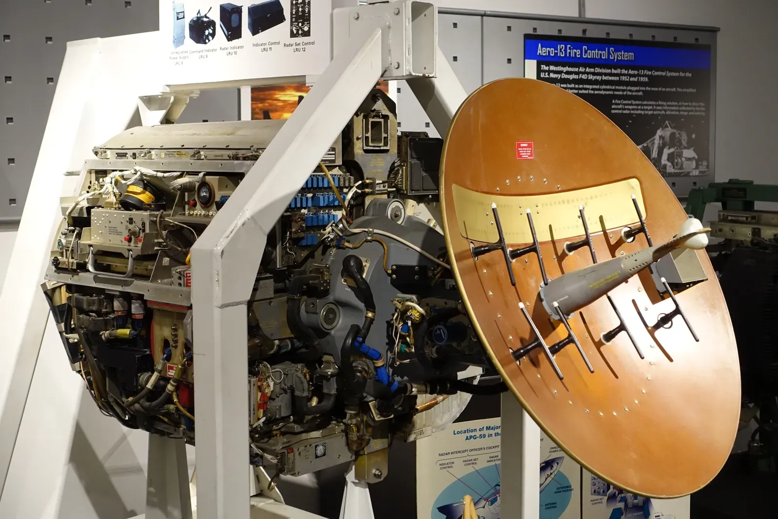
Much of the instrument package is built into the aircraft itself. The specialized equipment includes a tail-mounted Doppler radar that works like a virtual CT scan of the storm. It lets scientists see inside the structure of the hurricane as the plane moves through.
That view matters most for judging intensity in real time. Forecasters can use it to see how the eyewall is organized and whether the storm is strengthening. Crews say these readings are key to accurate forecasts.
Punching Through the Eyewall
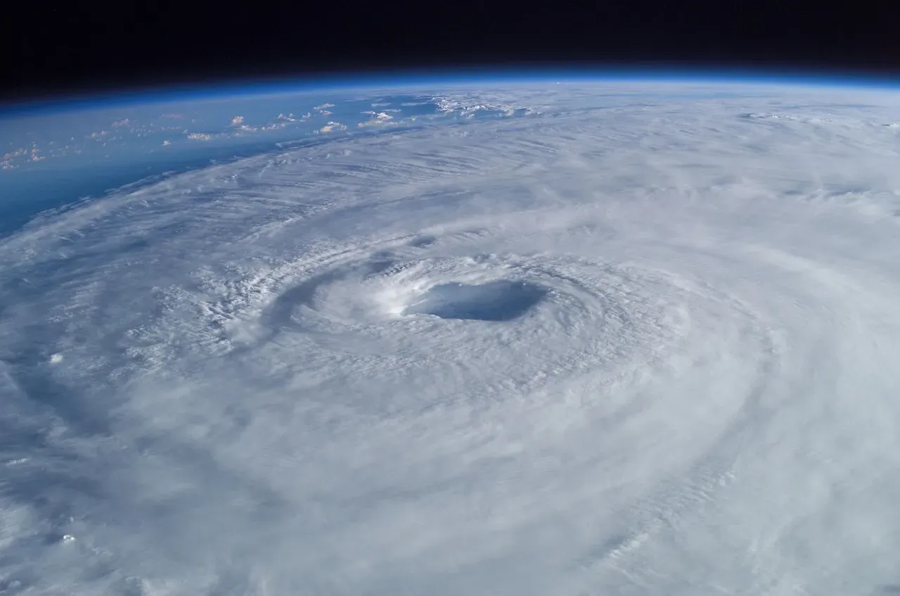
The roughest part of a mission is usually the eyewall, the ring of the strongest winds around the calm center. In October 2024, NOAA’s crews had a very bumpy ride piercing the eyewall of Category 5 Hurricane Milton. The agency shared video from inside the cabin.
The footage showed loose equipment flying through the air. The scientists stayed strapped into their seats. After the eyewall comes a sudden calm in the eye, and then the crew often has to fly back out through the other side.
Lightning, Radios and Other Surprises
Turbulence isn’t the only thing crews deal with. NOAA pilot Andrew Reves described one flight in which the aircraft hit a pocket of lightning and the whole interior lit up. It’s the sort of moment that’s hard to plan for.
Flying into a hurricane also takes teamwork. It requires an entire crew, tightly coordinated and scientifically essential. Each person has a role, from the pilots to the engineers to the flight director.
Dropsondes and Drones Fill In the Low Levels
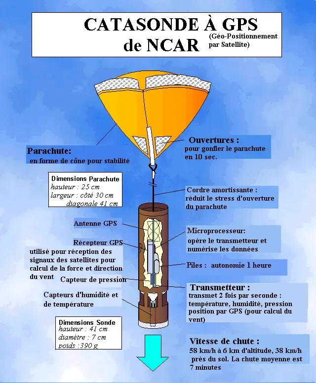
The planes also release instruments. Dropsondes are small sensors that fall through the storm and report conditions on the way down. In Hurricane Melissa, one dropsonde recorded a wind speed of 252 mph, a record for the strongest wind a dropsonde has measured.
Uncrewed aircraft add another layer. An S0 drone flew for a record 120 minutes in Melissa and produced the first video from an uncrewed aircraft system. NOAA says these drones fly at low altitudes, where crewed planes can’t safely go.
How Busy a Season Can Get
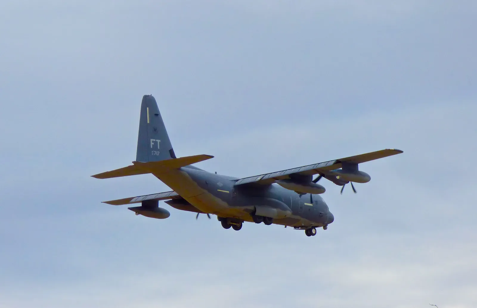
The workload is larger than many people expect. In 2025, the Florida-based NOAA fleet logged 417 flight hours on 63 flights into and above six hurricanes, three of them Category 5. That came in a season when the U.S. mainland wasn’t threatened for the first time in a decade.
The 2024 season was heavier still. NOAA’s aircraft flew 19 missions during Hurricane Milton, adding up to nearly 100 hours of flight time. The Air Force crews were busy too. Their season ran from Hurricane Erick on June 18 to Hurricane Melissa on October 30.
Weighing the Risk
The flights carry real danger, and the history shows it. A 1955 flight into Hurricane Janet remains the only reconnaissance flight into an Atlantic hurricane ever lost. The crew had reported they were about to enter the storm’s core, and nothing was heard afterward.
Today’s crews say technology has improved safety. A researcher writing in 2024 noted that crew members are experts who guide the aircraft through the safest spots, weighing all observed variables. The same writer pointed out that a hurricane flight typically lasts only about eight hours, while hazards on the ground can last for days.
Flying Through a Shutdown
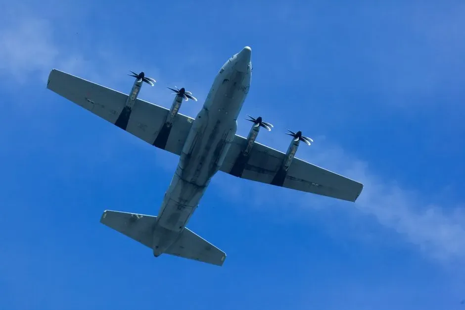
Melissa also showed how the crews’ work depends on funding. NOAA’s Hurricane Hunters spent a week diving into the eye of Melissa, but the government shutdown meant they weren’t getting paychecks. The flights continued anyway.
During landfall, conditions got worse. In the eyewall at landfall, the crews hit extreme turbulence and had to leave the storm earlier than planned. The data from those missions fed into forecasts as the hurricane reached Jamaica.
