


- Phantom Energy Sucking Power 24/7 – 7 Home Electronics Quietly Inflating Utility Bills - November 14, 2026
- A Million-Mile Storm Raging for Centuries – 6 Violent Weather Wonders in Our System - November 14, 2026
- Animals Flee Hours Before the Tremor – 7 Natural Warnings Before Disasters Strike - November 14, 2026
The 2026 Atlantic hurricane season is heading for an unusually quiet finish. AccuWeather’s tally is 10 named storms and a single hurricane, which arrived in October and broke a 121-year-old record for the latest first hurricane. The official end date is still weeks away, but forecasters say the basin has essentially shut down.
A powerful El Niño is the main reason. Here’s what happened this year, why the pattern matters, and what it still means for the weeks ahead.
A season that is nearly over before the calendar says so

AccuWeather experts have declared tropical activity over for 2026, three weeks before the official end of the season. The season began on June 1 and runs through November 30. Those dates mark the most likely window for development, not a hard boundary.
Fox Weather’s Bryan Norcross reached a similar conclusion on November 8. He noted that tropical systems can and have formed in every month of the year. Still, his analysis was that no further tropical development is likely this season.
Why El Niño suppresses Atlantic storms
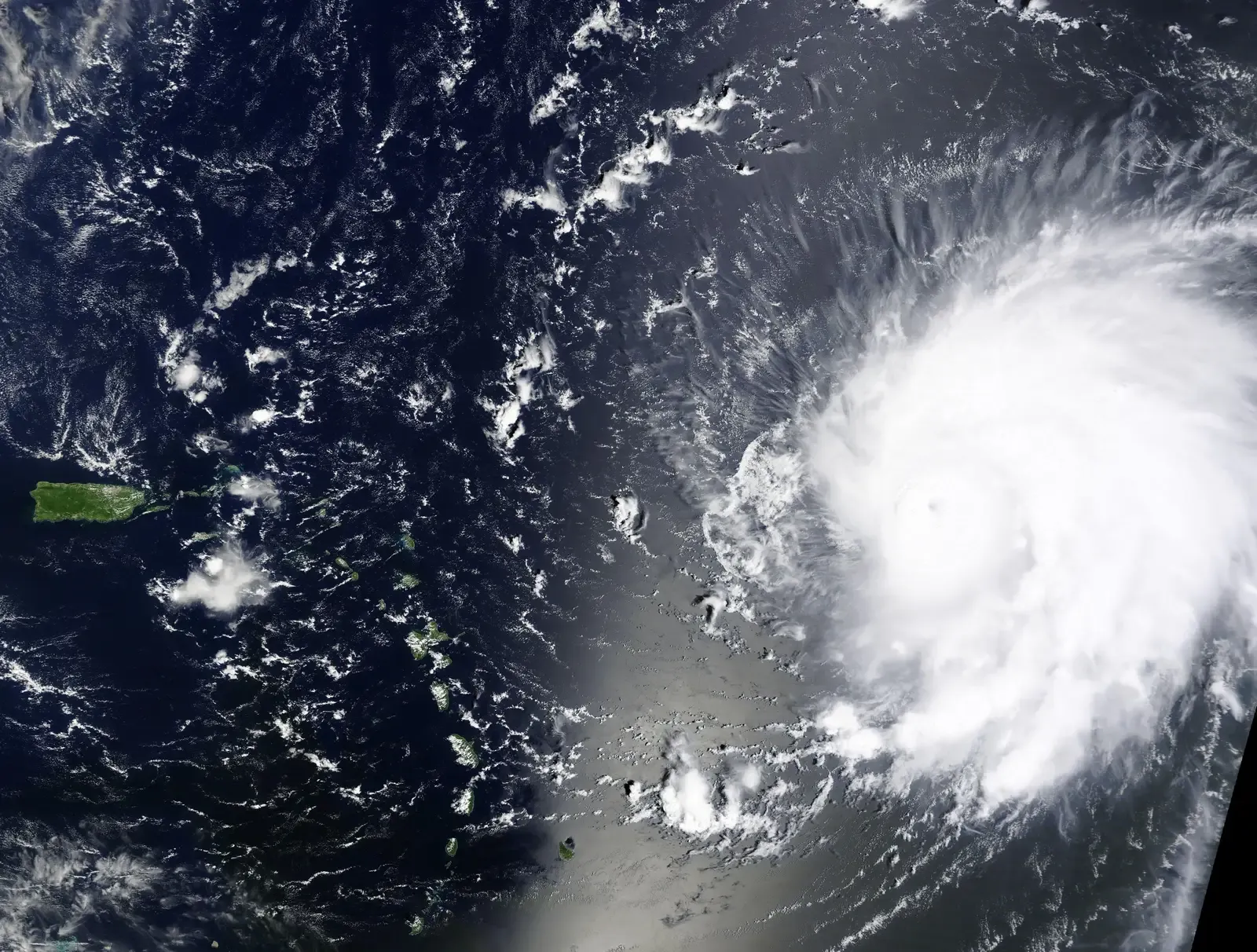
The mechanism is wind shear. El Niño increases wind shear over the Atlantic, which tears apart developing storms and can prevent development altogether. A young storm needs a fairly vertical structure to organize, and strong upper-level winds knock that apart.
Forecasters flagged this early. Seasonal outlooks pointed to robust El Niño conditions likely bringing above-normal wind shear across the tropical Atlantic and Caribbean, even with slightly above-average sea surface temperatures. Warm water alone wasn’t going to be enough.
Forecasts that kept shrinking

Early outlooks carried real uncertainty. Tropical Storm Risk noted historically low certainty in its forecast, citing the potential for moderate El Niño conditions by mid to late summer. That caution proved well placed.
As the El Niño strengthened, predictions fell. By early July, Colorado State University had cut its forecast to nine named storms, four hurricanes and one major hurricane. The actual season landed close to the storm count but well below the hurricane count.
One hurricane, and a record
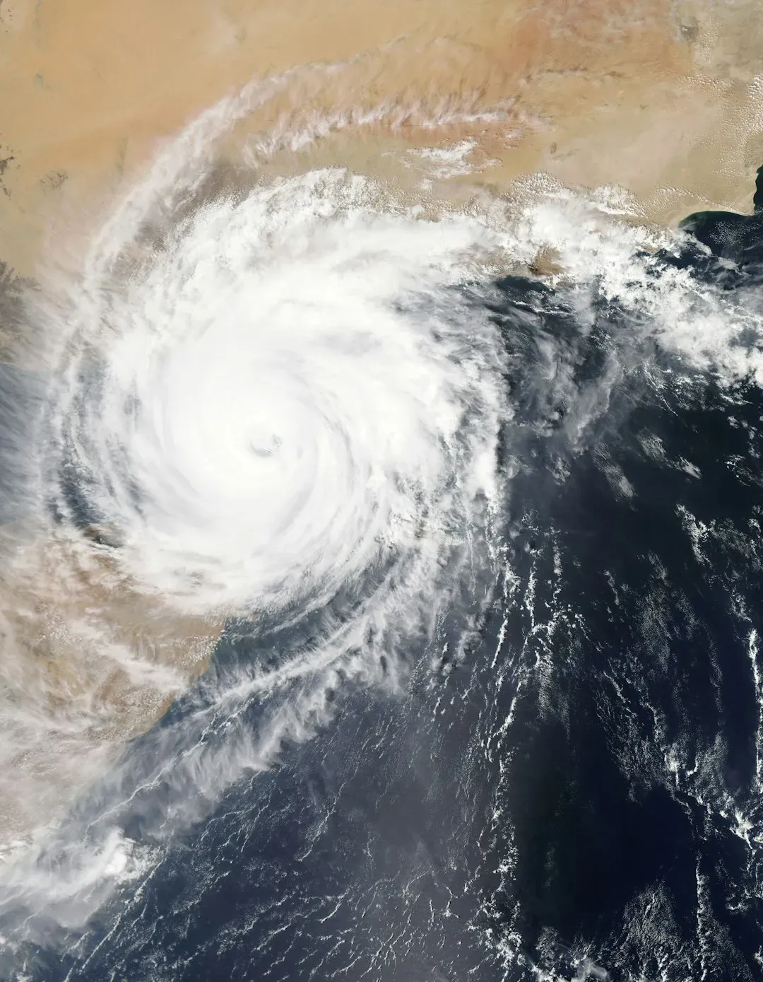
The lone hurricane was memorable. Hurricane Isaias made a destructive Category 2 landfall on the Florida Panhandle in October. It was the season’s only hurricane.
That makes the year historic. It was the first time since 1925 that a season produced just one hurricane. A quiet season isn’t a harmless one, though, since a single landfall can still do serious damage.
The Pacific told the opposite story
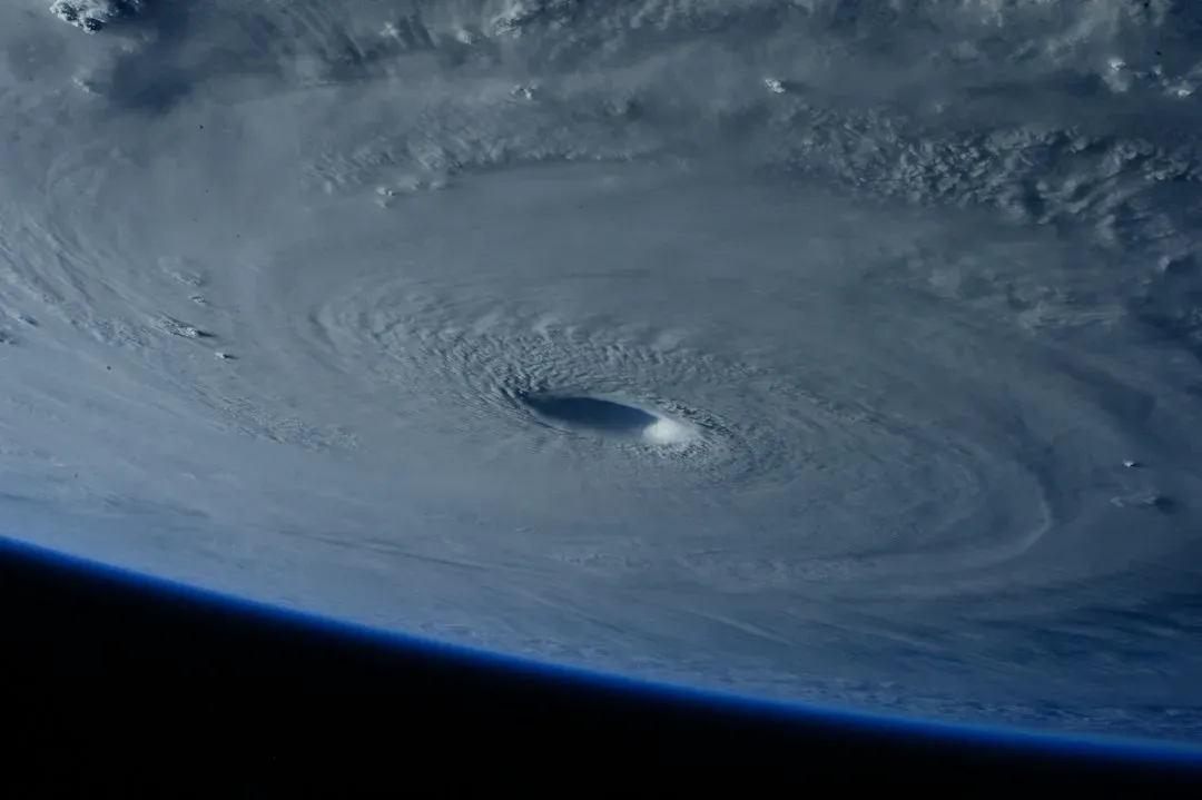
The same climate pattern that muzzled the Atlantic boosted the eastern Pacific. The El Niño that suppressed Atlantic activity supercharged the eastern Pacific, which blew past seasonal hurricane records. Vance became the basin’s 11th major hurricane of the year, and Rachel sent rain and surf into Southern California.
Early-season intensity was striking too. Genevieve became the first Category 5 of the season in July, and Hurricane Polo later became the record-tying third Category 5 of the year. NOAA had expected high numbers there because of a strong El Niño event.
A super El Niño nearing record strength

This isn’t an ordinary El Niño. The current super El Niño is nearing record strength and is already affecting weather from flooding rain to a warm, dry fall. The August through October RONI value of 1.97 degrees above average trails the 1997 pace of 2.07 degrees slightly.
NOAA’s outlook stays bullish on strength. It says chances remain high for a historic event exceeding earlier El Niños dating back to 1950. Based on past events and the current pace, that record could come late this fall or early winter.
What the November pattern looks like

Late-season storms usually favor certain areas. Attention typically shifts to the western Caribbean and southwest Atlantic in November, historically the likeliest places for late development. Forecasters did watch the Caribbean in early November.
The setup this year works against them, though. Norcross said the Gulf, Caribbean and Atlantic are in a wintertime mode, and the super El Niño is energizing a jet stream that is even more hostile to development than normal. Forecasters were still monitoring one Atlantic area, but with low chances of development.
Conclusion: quiet tropics, active winter

The evidence points to a season that is effectively finished. A strong El Niño raised wind shear, held the Atlantic to one hurricane, and pushed the energy into the Pacific. Official dates still run to November 30, so forecasters keep watching, but the odds are low.
The weather doesn’t go quiet with it. Norcross expects the powerful El Niño to energize disruptive weather across the U.S., including the hurricane zone, through the winter. The tropics may be resting, but the same climate engine is just shifting gears.
