

The Atlantic Ocean has held onto elevated sea surface temperatures through much of 2026, even as hurricane activity has remained unusually subdued. This contrast highlights how atmospheric conditions can override the influence of warm waters when it comes to storm formation.
Observers tracking ocean data note that North Atlantic temperatures sit roughly 0.4 degrees Celsius above the 1996 to 2025 average in late October. Such warmth typically fuels tropical systems, yet the current season tells a different story.
Persistent Warmth Across the Basin

Daily analyses from ocean monitoring services show the North Atlantic maintaining positive temperature anomalies throughout the year. These conditions build on a multi-year stretch of elevated global ocean heat that began intensifying around 2023.
The extra warmth stems from long-term climate trends combined with recent atmospheric patterns. Even with some regional variations, the overall basin has avoided the cooling that might otherwise accompany reduced storm activity.
Recent Years of Record Ocean Heat

Global sea surface temperatures reached exceptional levels in 2025, ranking as the third warmest year on record in long-term datasets. The North Atlantic contributed to this pattern with widespread above-average readings during much of the year.
Similar warmth persisted into 2026, with daily global averages remaining well above historical norms. This ongoing heat storage in the upper ocean layers sets the stage for potential storm energy, regardless of how the atmosphere behaves.
El Niño’s Dominating Influence
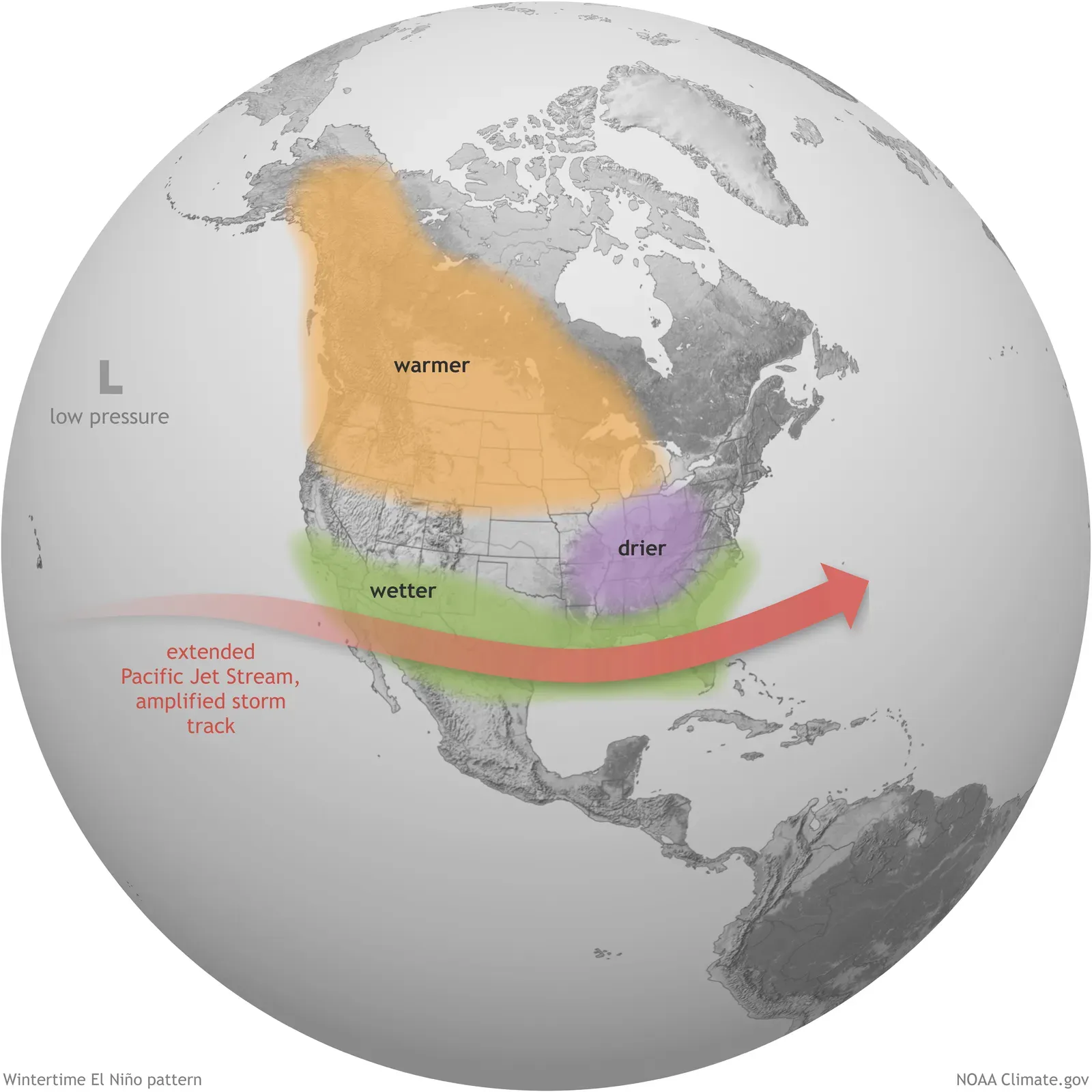
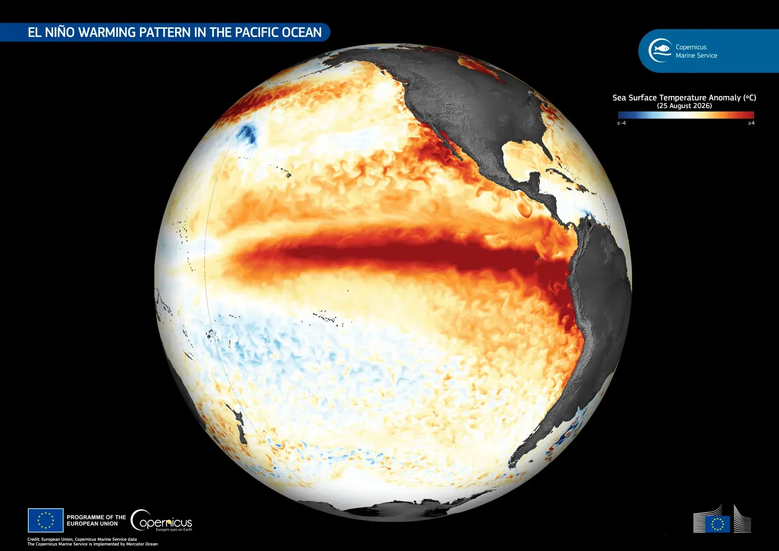
A strong El Niño event developed in the Pacific during 2026 and created unfavorable conditions over the Atlantic. Increased wind shear and sinking air disrupted the organization of tropical disturbances throughout the peak months.
These atmospheric changes effectively decoupled the usual relationship between warm waters and cyclone development. The result was a season where ocean heat remained high while storm formation stayed suppressed.
Activity Levels in the 2026 Season
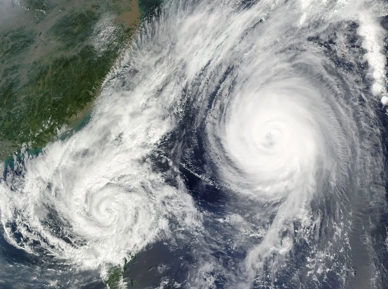
Through late October the Atlantic produced ten named storms, yet only one reached hurricane strength. Accumulated cyclone energy stood at just 19.5 units, representing an 83 percent deficit compared with the long-term average.
The first hurricane of the year formed in early October, marking one of the latest such occurrences in the satellite era. Most systems remained weak and short-lived under the prevailing shear environment.
Warm Water Does Not Always Equal Storms
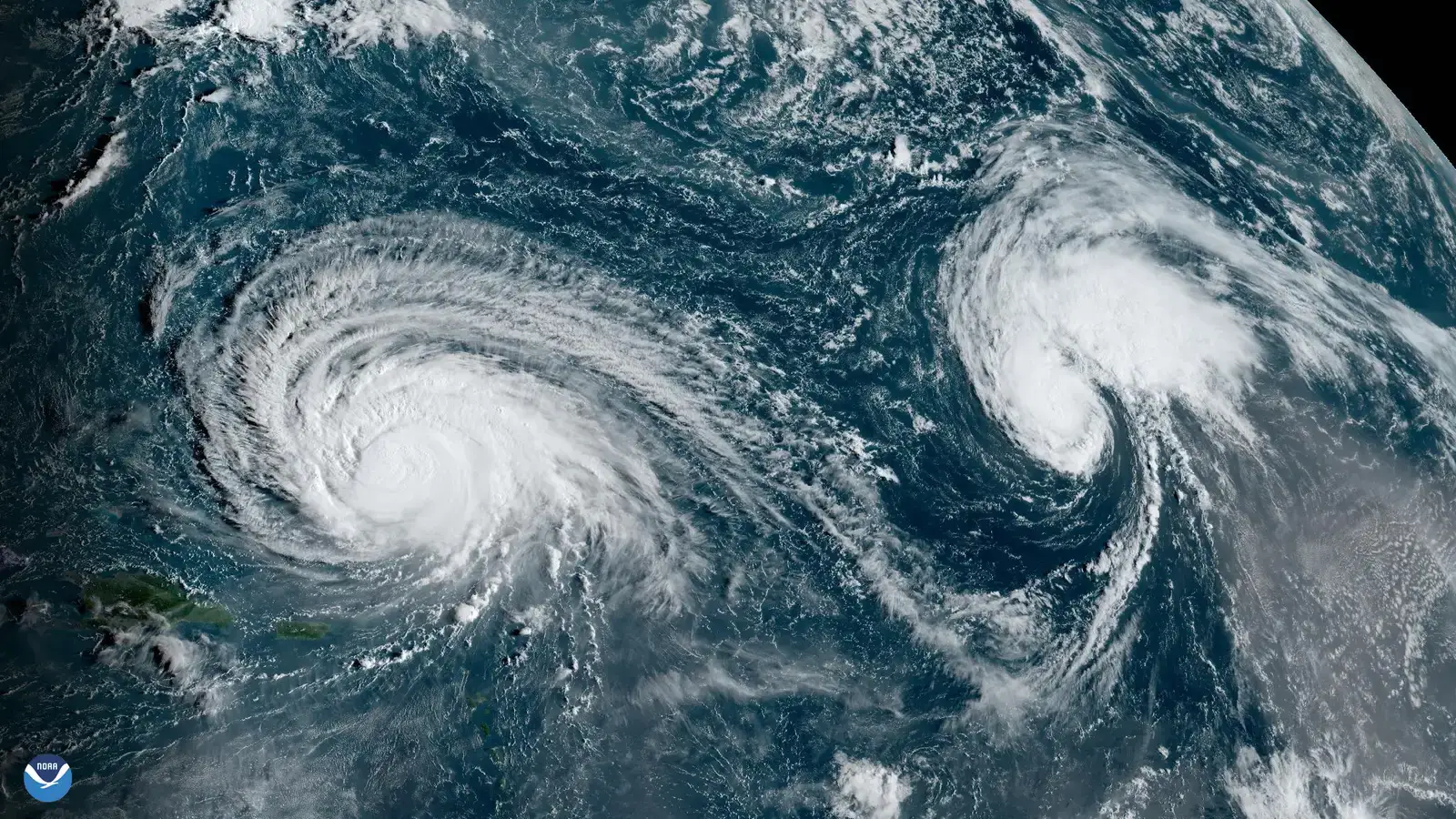
While warm sea surface temperatures provide fuel, hurricanes also require low wind shear, moist mid-level air, and favorable upper-level conditions. The 2026 El Niño disrupted several of these ingredients simultaneously.
Historical examples show that ocean warmth alone cannot overcome strong atmospheric suppression. Forecasters have long noted that shear often acts as the decisive factor in quiet seasons even when waters stay anomalously warm.
Broader Effects on Weather and Ecosystems

Elevated Atlantic temperatures influence regional weather patterns beyond the tropics, including altered rainfall distributions and marine heatwave persistence. Coastal areas have experienced extended periods of above-average water temperatures into the fall.
Marine life faces added stress from these conditions, with some species shifting ranges or experiencing reduced habitat suitability. The combination of warmth and low storm activity creates a unique environmental signature for the year.
Placing 2026 in Longer-Term Context
Quiet Atlantic seasons have occurred before during strong El Niño events, yet the current ocean temperatures stand out against earlier analogs. The multi-year run of record or near-record warmth adds a new dimension to these comparisons.
Data extending back decades confirm that basin-wide anomalies of this magnitude remain uncommon even during suppressed storm years. This persistence points to the underlying influence of global temperature trends.
Looking Ahead to Coming Seasons

As the current El Niño evolves, ocean temperatures may continue to shape Atlantic conditions into 2027. Forecasters will watch whether the warmth lingers or begins to moderate with shifting atmospheric patterns.
The 2026 experience serves as a reminder that hurricane seasons depend on multiple interacting factors rather than any single driver. Warm waters set potential, yet the atmosphere ultimately decides how that potential is realized.

- The Shoreline Sucked Dry in Seconds – 5 Tsunami Signals Beachgoers Mistake for Low Tide - November 14, 2026
- 9 Dark-Sky Destinations Around the World Where the Stars Look Unreal - November 14, 2026
- The Fault Line That Never Slips – 7 Locked Seismic Zones Overdue for a Massive Release - November 14, 2026
