

A powerful storm churning south of the islands
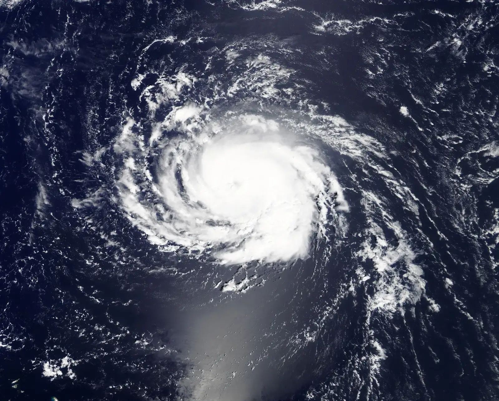
Lowell has spent the better part of a week as one of the standout storms of the 2026 Pacific hurricane season. It became one of the strongest hurricanes of 2026 on Wednesday and remained very powerful in the days that followed. At its peak, the storm briefly touched Category 5 intensity, a rare and alarming milestone for any system approaching Hawaii.
The tropical cyclone reached Category 5, defined by sustained winds of 157 mph or greater, overnight Friday before losing some steam and settling into Category 4 limits of sustained winds between 130 and 156 mph by Saturday. By Sunday, forecasters noted that its 120 mph sustained winds had placed it in Category 3. Even with that decline, meteorologists have repeatedly cautioned that a storm this large does not need peak strength to cause serious trouble.
The track that has everyone watching Kauai
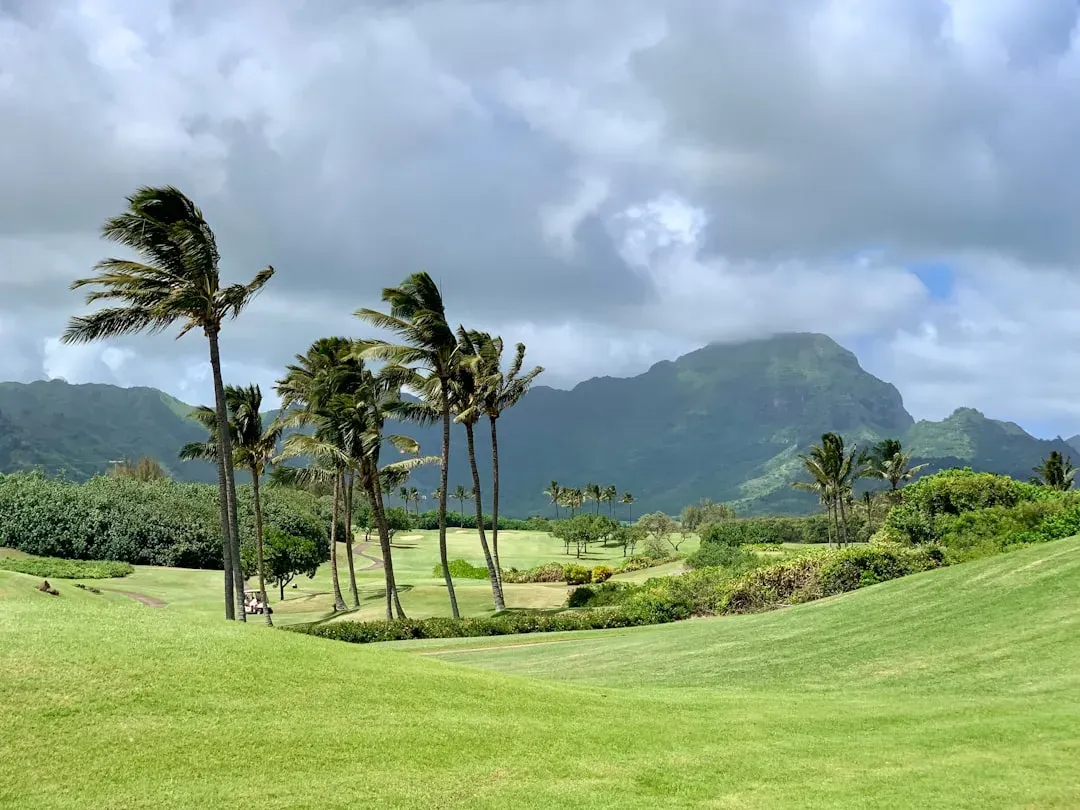
For days, the biggest question was not whether Lowell would stay powerful, but where exactly it would end up. Lowell has been moving toward the north-northwest, with the National Hurricane Center forecasting a turn toward the north and north-northeast with increasing forward speed, a shift that would bring the center of Lowell just west of the main Hawaiian Islands, particularly Kauai and Niihau, late Monday night.
Earlier guidance had left plenty of uncertainty baked in. The National Hurricane Center’s official forecast at one point brought Lowell’s center about 150 miles west of Niihau or 190 miles west of Kauai on a Tuesday morning, though forecasters acknowledged less confidence than normal in that exact track so far out, before the storm made its turn north. Ensemble computer models were still showing a wide range of outcomes, from a potential devastating landfall on Kauai or Oahu to a track more than 400 miles west of Niihau that would mean little more than rougher surf and a few showers.
Rain totals that could trigger serious flooding
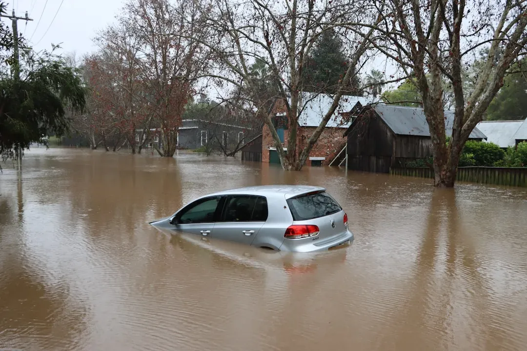
Wind gets the headlines, but rainfall is often what does the real damage in a storm like this. Lowell was forecast to drop 6 to 10 inches of rain on Kauai and Niihau, with isolated totals over 14 inches possible, while the Big Island could see 4 to 8 inches, with isolated rainfall totals up to a foot.
Earlier forecasts had painted a somewhat lighter picture before the storm’s track solidified. An earlier advisory expected rainfall totals of 4 to 8 inches for Kauai, with maximum totals exceeding 12 inches possible, and 2 to 6 inches for the Big Island with isolated totals of 10 inches possible. Rainfall of that magnitude, especially over steep volcanic terrain, tends to overwhelm streams quickly and send water rushing into low lying roads and neighborhoods.
Flash flooding and mudslide risk across the western islands
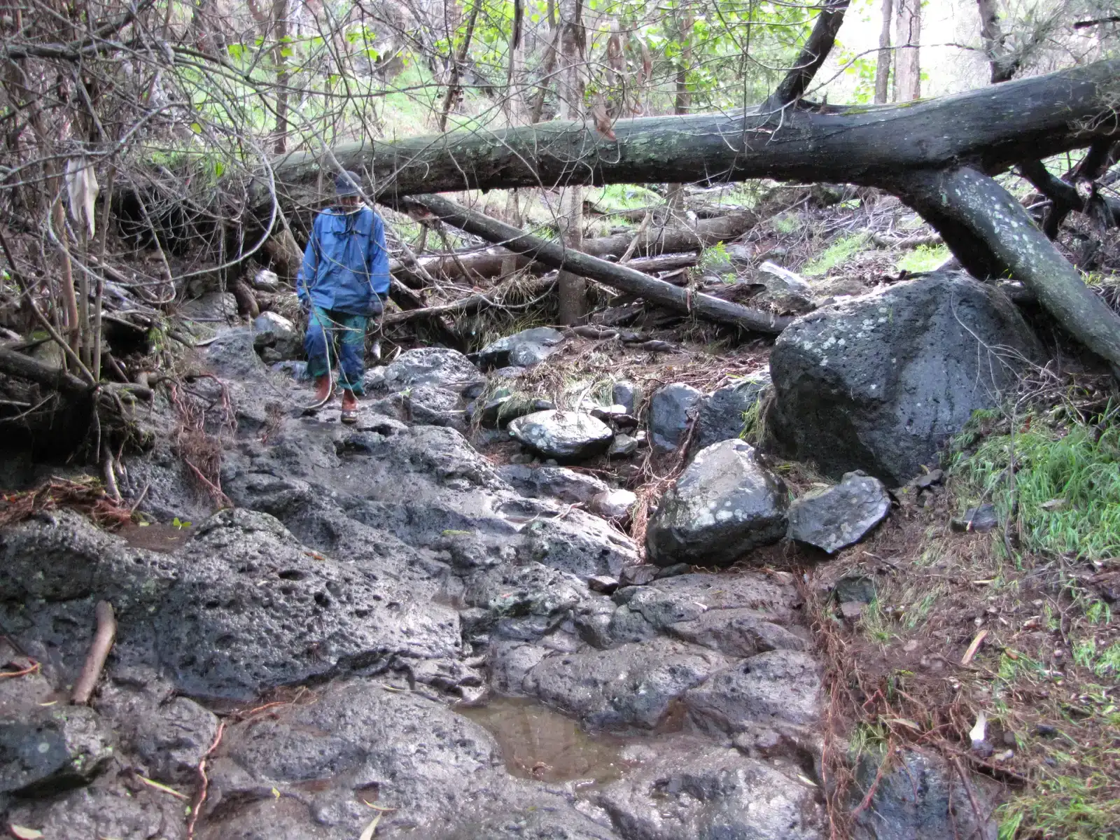
Beyond the rainfall totals themselves, forecasters have flagged the terrain as a serious complicating factor. Periods of heavy rain may produce significant flash flooding and mudslides, especially across Kauai County and portions of the Big Island. Kauai’s mountainous interior, with its steep valleys and fast draining watersheds, is particularly prone to sudden and dangerous runoff during tropical rain events.
Local emergency officials have urged residents to treat the flooding threat with the same seriousness as the wind hazard. Hawaii residents were told to rush to complete preparations for dangerous winds, high surf, heavy rainfall and flash flooding potential, and to be ready to operate without electricity if high winds or flooding cause power outages. Emergency planners note that flash floods can develop within minutes in Kauai’s steep drainages, long before a storm’s center ever arrives.
Damaging winds and a dangerously wide wind field
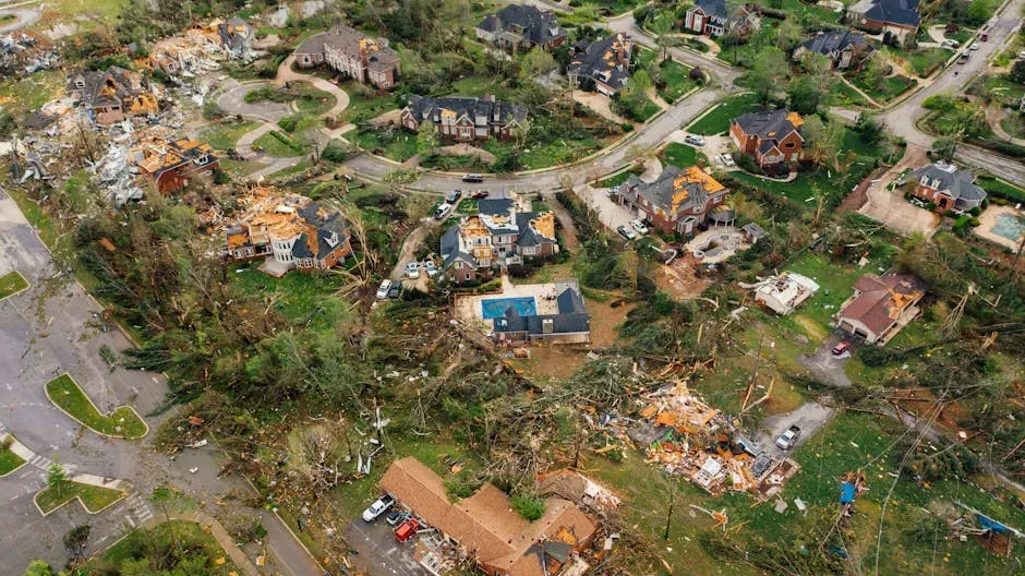
Even with some fluctuation in category strength, Lowell’s wind field has remained unusually broad for a Pacific storm. Hurricane force winds extended outward up to 50 miles from the center, while tropical storm force winds extended outward up to 175 miles. That kind of reach means impacts were never going to be confined to a narrow strip along the storm’s exact path.
Hawaii’s emergency management agency has been blunt about the numbers residents should expect at home. Wind forecasts suggested damaging wind gusts up to 74 miles per hour would be possible in Kauai County and up to 40 miles per hour on Oahu on Monday and Tuesday. Gusts in that range are enough to snap tree limbs, down power lines, and turn loose outdoor furniture into projectiles.
Life threatening surf and coastal flooding concerns
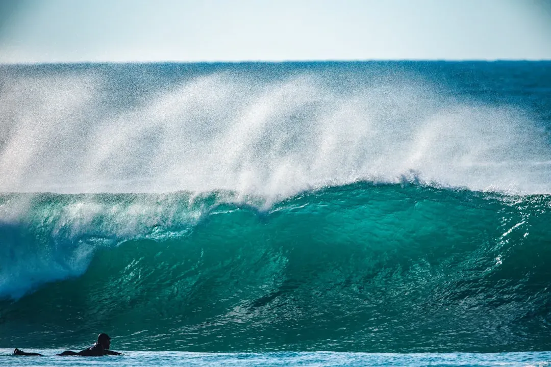
Hurricane Lowell’s swells arrived well ahead of the storm itself, a common pattern with large, long lived Pacific hurricanes. Niihau, Kauai, and Oahu were expected to experience extremely dangerous surf on southern and western exposed shores, with high surf statewide on Monday and Tuesday.
Coastal residents on the western islands faced a compounding threat from the water itself. Large swells from Lowell were expected to produce life threatening surf and rip current conditions across portions of the Hawaiian Islands over several days, with surf along exposed portions of Kauai County also capable of producing coastal flooding and inundation of low lying areas Monday through Monday night. Lifeguards and ocean safety officials repeatedly urged people to stay out of the water entirely during that window, regardless of how the surf looked from shore.
Echoes of Hurricane Iniki weigh on Kauai
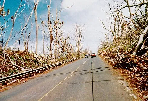
For many longtime Kauai residents, the anxiety around Lowell has less to do with statistics and more to do with memory. The storm’s track was described as eerily similar to that of 1992’s Hurricane Iniki, which made landfall on Kauai as a Category 4 hurricane and remains the state’s worst storm on record.
Climate researchers tracking the storm’s evolution flagged just how consequential a small shift in track could be. Any easterly jog in Lowell’s path could have made it the highest impact hurricane Hawaii had experienced since Iniki devastated Kauai in 1992. That kind of comparison, even as a possibility rather than a certainty, was enough to push emergency preparations into high gear across the island.
A state of emergency and a coordinated response
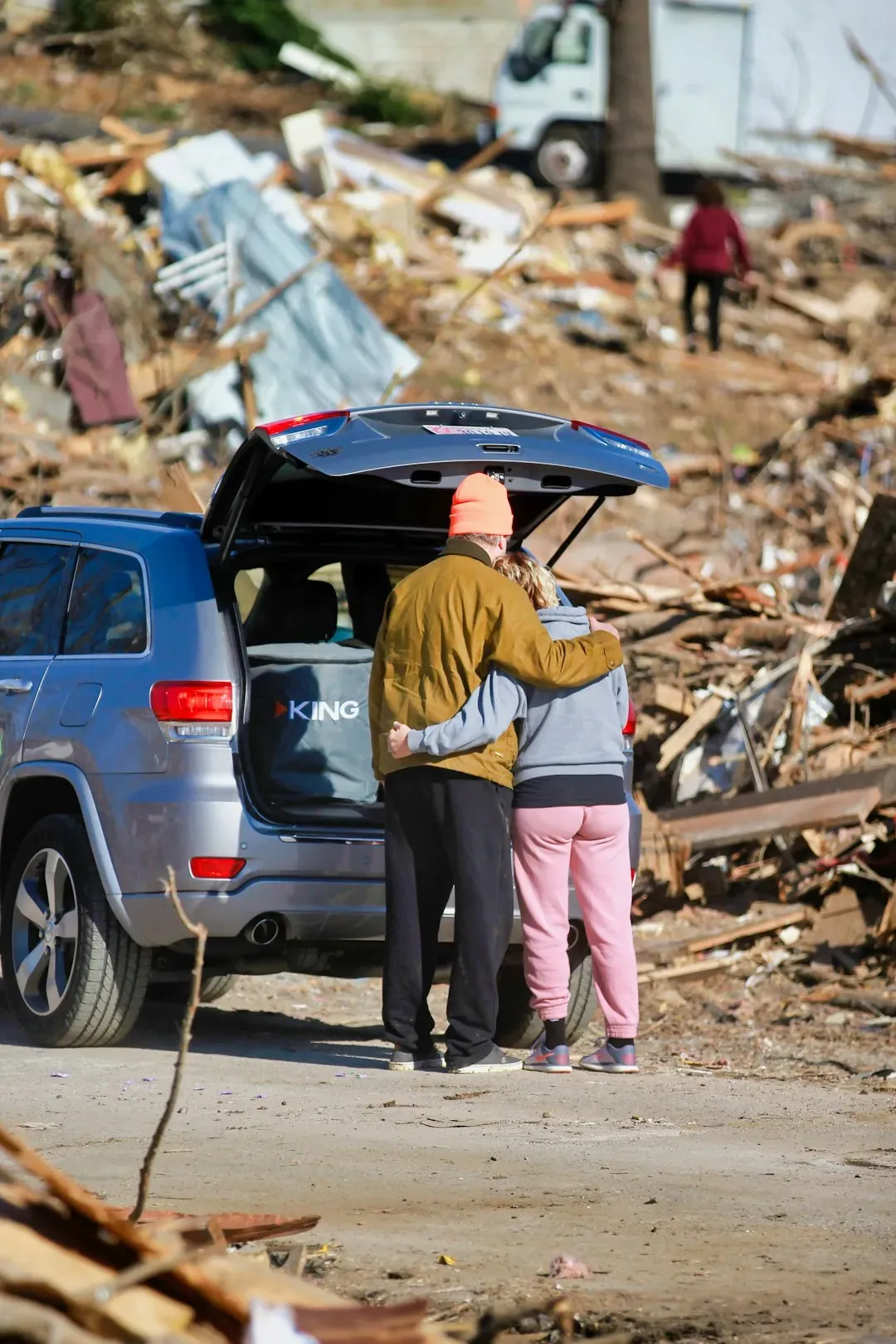
Hawaii’s government did not wait for the storm to get close before acting. The state moved under a state of emergency with powerful Hurricane Lowell set to bear down on its western islands, prompting officials across multiple agencies to activate response plans.
Meteorologists also pushed back on the idea that being near the edge of the forecast cone meant safety. National Weather Service officials made clear that residents on the periphery of the projected path still faced real risk, since wind and rain hazards extend well beyond the narrow line drawn on a map. Hawaii’s Emergency Management Agency has been issuing updates around the clock, with scheduled advisories at five in the morning, eleven in the morning, five in the evening, and eleven at night Hawaii Standard Time, so residents can track changes as they happen.
The third storm in a remarkably active stretch

Lowell did not arrive in isolation. It became likely to be the third storm to affect parts of Hawaii during this El Niño fueled Pacific hurricane season, following Lala and then Moke, both of which brushed parts of the islands within about a week of each other in August.
That earlier storm, Lala, was itself a historic event for the islands. In August, Hurricane Lala became the first hurricane to directly hit the Big Island of Hawaii since 1871, while also becoming Hawaii’s third wettest tropical cyclone on record. Having three separate tropical systems threaten the same state within roughly a month is unusual, and it has left both residents and emergency officials somewhat worn down even before Lowell’s closest approach.
An unusually crowded and active Pacific season
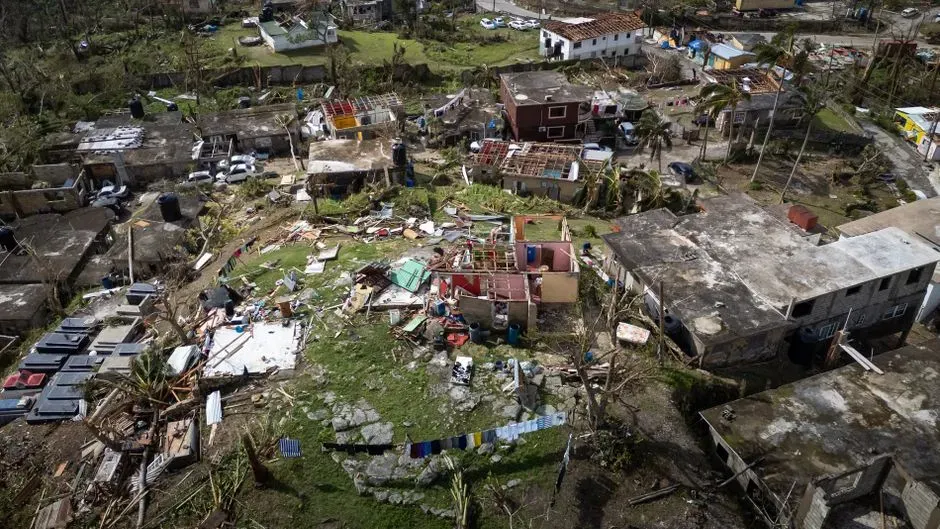
Lowell’s intensity has to be viewed against the backdrop of a genuinely active year across the broader Pacific basin. Three simultaneous hurricanes were churning across the central and eastern North Pacific over the Labor Day weekend, the first time that had happened there in eleven years.
Season long statistics reinforce just how active 2026 has been. The season’s strongest storm, Lowell, reached maximum winds of 160 mph and a lowest pressure of 922 millibars, part of a season that has produced fifteen total storms, six hurricanes, and four major hurricanes so far. In September, Lowell became the second Category 5 hurricane of the season, underscoring how unusually intense this year’s Pacific activity has been.
What comes next as Lowell moves past Hawaii
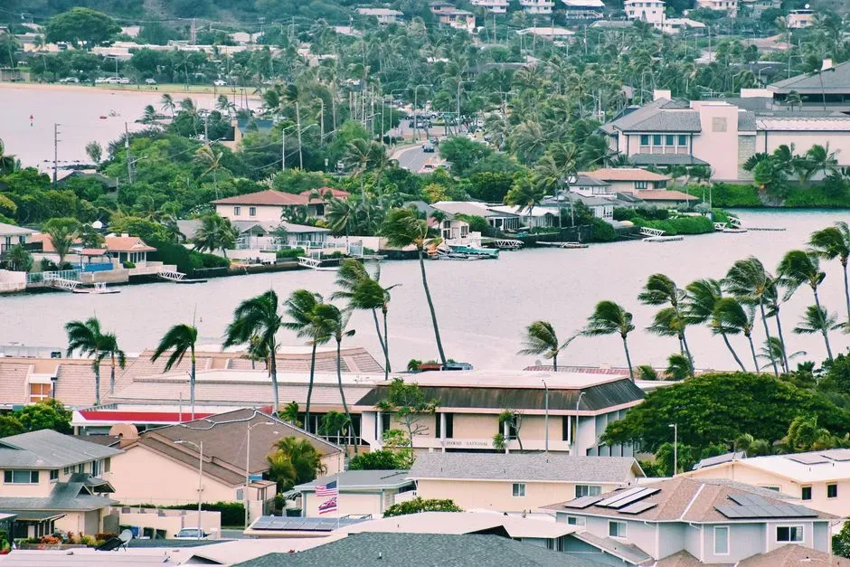
Forecasters expect Lowell to weaken gradually as it clears the islands and pushes into cooler waters and higher wind shear farther north. Lowell was expected to face increasing wind shear and cooling waters on its northward journey that could knock down its intensity somewhat, though it was still expected to remain a major hurricane through its closest pass to western Hawaii.
Beyond that closest approach, the storm’s future track pointed away from land. On the forecast track, the center of Lowell was expected to move across portions of the Papahanaumokuakea Marine National Monument, just west of the main Hawaiian Islands, before turning toward the northwest and slowing down after passing the islands. For Hawaii, that means the most intense hazards were concentrated in a narrow window rather than a prolonged siege, though officials cautioned that dangerous surf and residual flooding risk could linger for days after the storm’s core had moved on.

- The 7 States With the Cleanest Municipal Water Systems, According to EPA Data - September 13, 2026
- The 6 Coldest Inhabited Places on Earth – Ranked by Average Winter Temperature - September 12, 2026
- 8 South American Climate Scientists Who Changed How We Understand the Amazon - September 12, 2026
