

When people think of earthquakes in America, they usually picture California. That picture is incomplete. A U.S. Geological Survey-led team of more than 50 scientists and engineers found that nearly 75 percent of the U.S. could experience damaging earthquake shaking.
The finding comes from the 2023 National Seismic Hazard Model, which was published in early 2024 and is still the current national reference. The sections below cover what the model says, where the hazard sits, and why the risk reaches well beyond the West Coast.
What the 2023 hazard model actually found
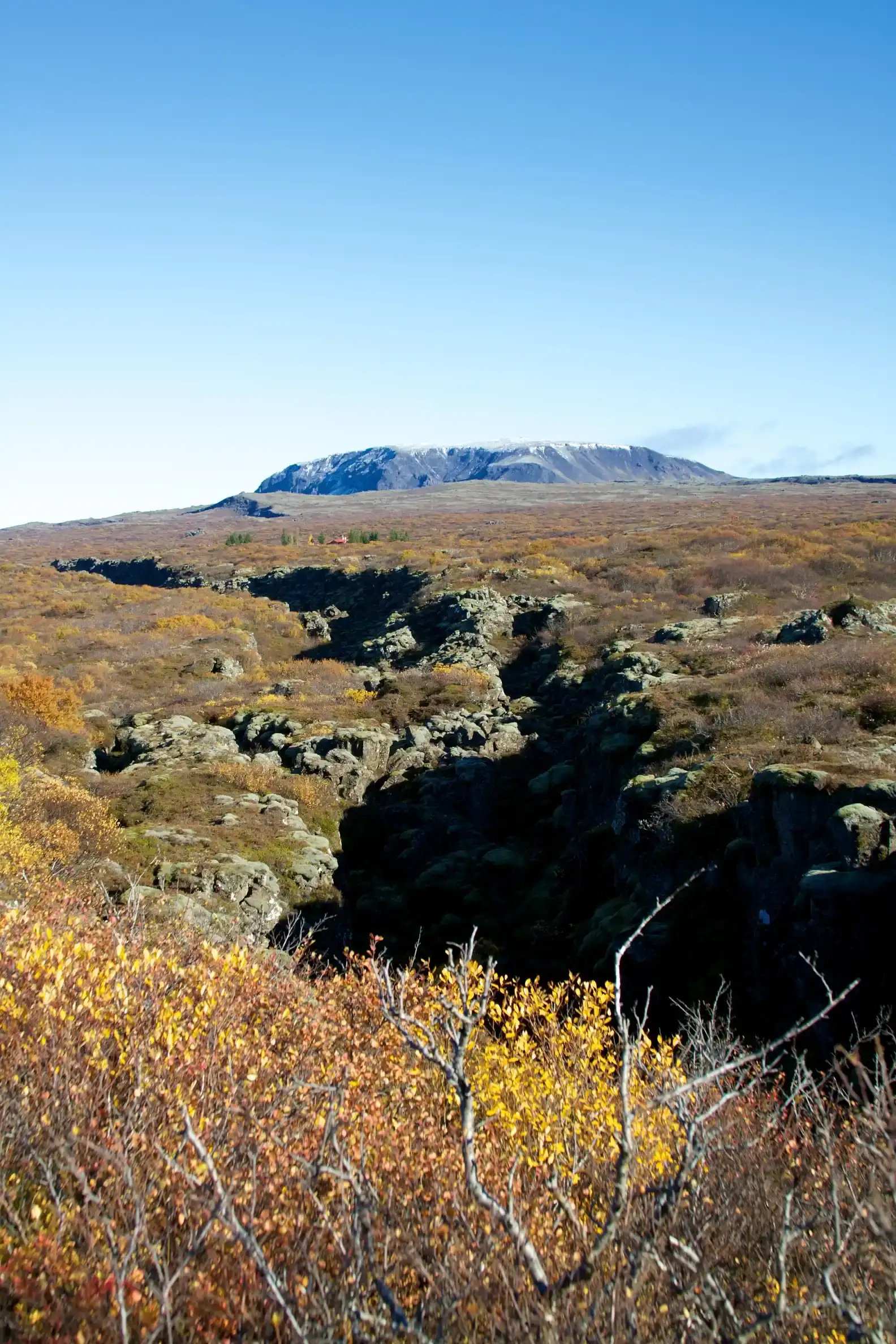
The model is the first of its kind to cover every state at once. It’s the first National Seismic Hazard Model to encompass all 50 states simultaneously, a collaboration with federal, state, and local partners. Earlier editions covered the lower 48 on one schedule, with Alaska and Hawaii handled separately.
The headline number is about damaging shaking, not about every place being equally dangerous. The USGS says nearly 75% of the country could experience potentially damaging earthquakes and intense ground shaking, putting hundreds of millions of people at risk. The forecast looks across a long horizon, since the map shows the likelihood of damaging shaking over the next 100 years.
California and the western fault systems

The West still carries the highest hazard. One regional report on the USGS findings noted that California has a 95% probability or greater of damaging earthquake shaking within the century. That reflects the density of active faults, including the San Andreas system and many others.
The peer-reviewed overview adds that moderately high hazard and risk is found across many western states. The model draws on fault databases, seismicity records and ground-motion science, so it’s built on measured geology rather than guesswork. It still gives probabilities, not predictions of when a quake will strike.
Alaska and Hawaii are part of the picture

Alaska is one of the most seismically active places in the country. The USGS has said that California and Alaska, both with a history of seismic events, might face a greater degree of shaking. Alaska’s hazard model was updated as part of the 2023 effort, using new science gathered over the previous decade.
Hawaii saw a notable change as well. The new model characterizes Hawai’i as having greater potential for shaking because of recent volcanic eruptions and seismic unrest on the islands. The peer-reviewed paper also points to the central islands of the Hawaiian chain as areas of higher hazard.
Risk in the central and eastern United States
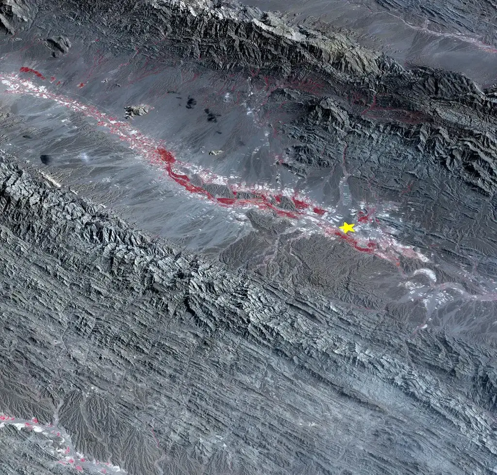
Many people assume the East and Midwest are quiet. The research suggests otherwise, though shaking there happens less often. The model’s authors highlight areas of pre-existing faulting across the central and eastern U.S. as places with meaningful hazard.
The USGS also notes a long track record. According to the agency, states have experienced earthquakes exceeding magnitude 5 during the last 200 years, which shows seismic activity is not confined to one region. Because eastern quakes are infrequent, people there are often less prepared.
Increased hazard along the Atlantic Coast

The update changed the picture in some eastern areas. One summary of the findings says the model highlights increased risks along the Atlantic Coast and in seismically active regions like California and Alaska. Moody’s likewise described a significant increase in seismic risk across large portions of the conterminous U.S.
The authors are clear that the changes went both ways. Changes in 2023 hazard, both increases and decreases compared to previous models, are substantial because the new model considers more data and updated rupture forecasts. So some of the shift reflects better science, not simply a changing planet.
Where the moderate hazard lies
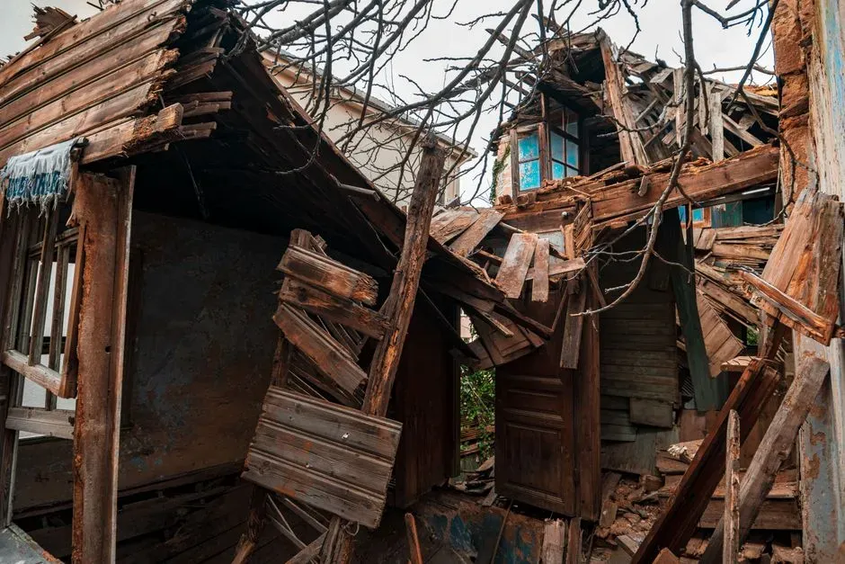
Beyond the highest-risk areas, a large share of states fall in the middle. The model’s overview paper reports that 26 states have moderate to higher probabilities of shaking. That means earthquakes are a planning issue in places that rarely make earthquake headlines.
Moderate does not mean negligible. Damaging shaking can range, as Moody’s put it, from minor wall cracks to potentially much more serious damage. Local soil, building age and construction quality often decide how much harm occurs.
Why the model matters for building and policy
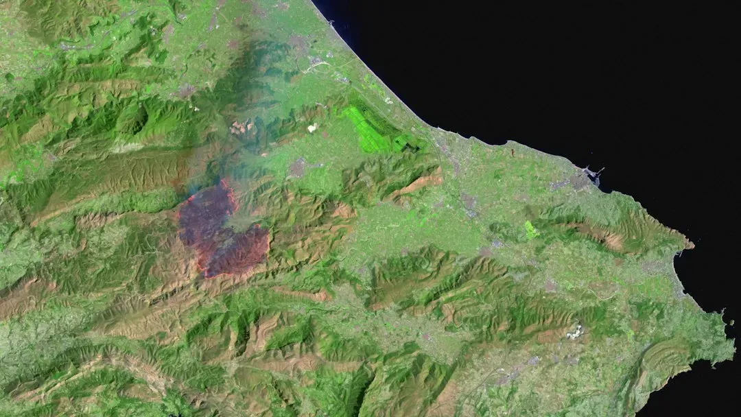
The model isn’t just an academic exercise. The authors describe it as a standard of practice for public policy and other engineering applications. In practice, hazard maps like this feed into building codes and engineering design.
Insurers use it too. Moody’s RMS said it is integrating these updates to improve risk models and inform better decision-making. The same analysis observed that earthquake insurance remains low despite the higher assessed risk, which is a gap homeowners may want to think about.
Conclusion

The science points in one direction: earthquake hazard is a national concern, not a regional quirk. California and Alaska face the strongest threats, yet a much larger part of the country has real exposure over a century-long window. The numbers are probabilities, so they guide preparation rather than predict any particular quake.
For residents, the practical steps are familiar: check local hazard maps, secure heavy furniture, and consider whether insurance covers shaking. The fault lines don’t stop at state borders, and preparedness shouldn’t either.

- The Shoreline Sucked Dry in Seconds – 5 Tsunami Signals Beachgoers Mistake for Low Tide - November 14, 2026
- 9 Dark-Sky Destinations Around the World Where the Stars Look Unreal - November 14, 2026
- The Fault Line That Never Slips – 7 Locked Seismic Zones Overdue for a Massive Release - November 14, 2026
