


- 9 Items Experienced Skywatchers Bring Along That Beginners Always Wish They’d Packed - November 12, 2026
- I Moved to Tornado Alley in Oklahoma – 7 Things I Did Not Anticipate About Storm Season - November 12, 2026
- VR tool shows how rising seas could flood Fort Lauderdale - November 12, 2026
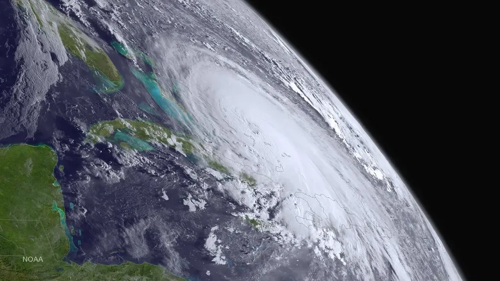
Vance is the latest storm in a busy eastern Pacific season. AccuWeather forecasts it to strengthen rapidly into this weekend and become the 11th major hurricane of the 2026 central and eastern Pacific season. The big open question is where it goes once it peaks.
This article reflects forecasts available on October 22, 2026. Tropical forecasts change quickly, so check the National Hurricane Center and Mexico’s national weather service for the latest advisories.
How Vance Got Its Start
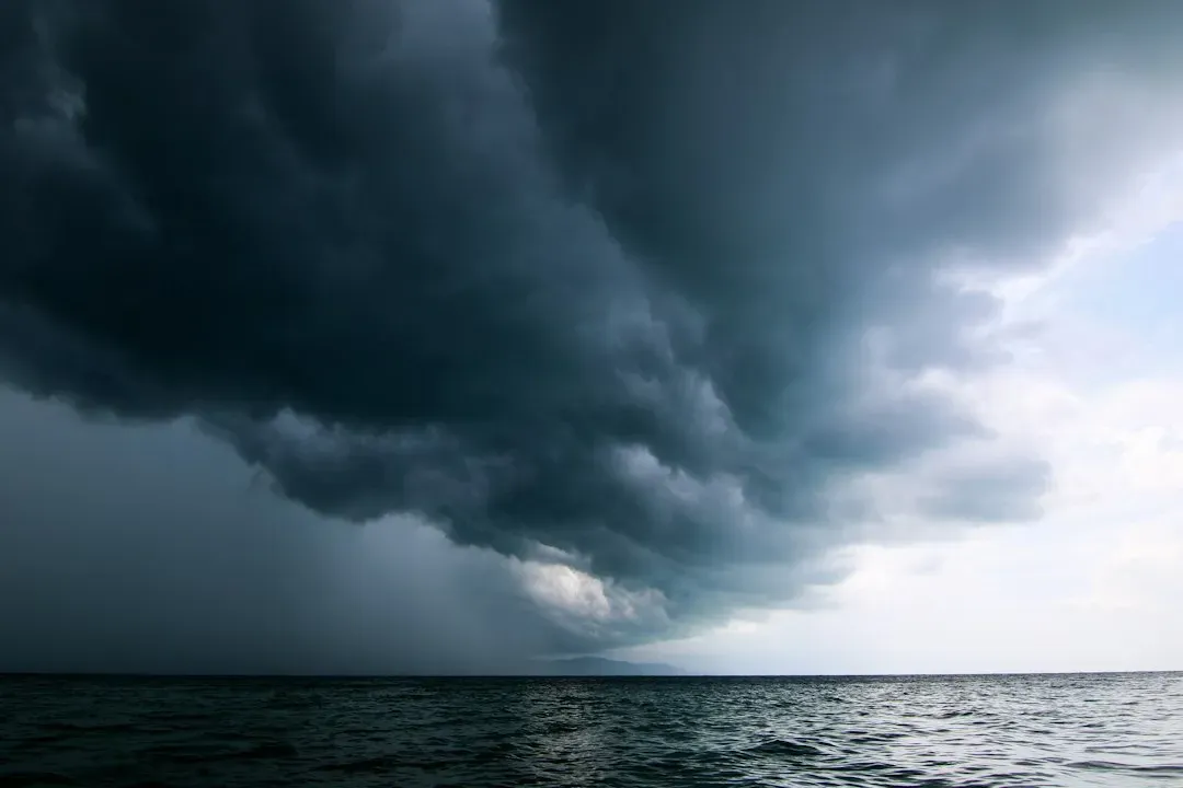
The system lumbered around early in the week as a tropical rainstorm. On Wednesday it became a tropical depression, and four hours later it became a tropical storm and took the next name on the 2026 list. That name was Vance.
Vance developed from Tropical Depression Twenty-Two-E, in conditions that stayed favorable after Tropical Storm Trudy dissipated. That shows how active the basin has been lately.
A Rare V Name
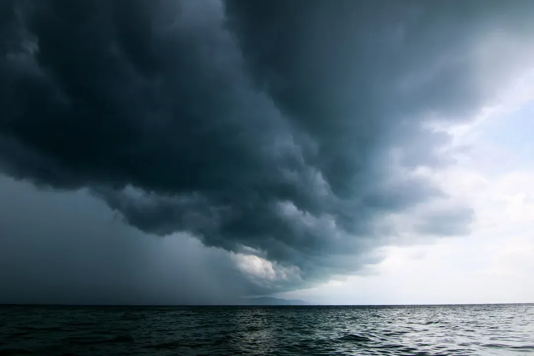
Vance is the first V-named storm in the basin since 2018. Reaching the letter V means the season has already used up most of its alphabetical list.
The name has no connection to Vice President JD Vance. The name has been on the World Meteorological Organization’s rotating lists for decades. Earlier eastern Pacific storms named Vance were a 1990 hurricane that never approached land and a 2014 Category 2 hurricane that affected Mexico.
Where Vance Stands Now
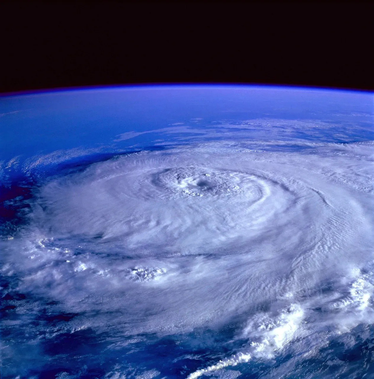
The National Hurricane Center said Vance became a Category 1 hurricane early Friday. Its maximum sustained winds were 85 mph, and it was about 440 miles south-southwest of Acapulco. It was moving north-northwest at about 6 mph, and that motion was expected to continue through the weekend.
That slow motion matters because a storm that lingers over warm water has more time to intensify. It also leaves forecasters less certain about the steering pattern that comes next.
Why Rapid Intensification Is Expected
Forecasters expect Vance’s winds to increase by 35 mph or more in 24 hours or less, heading into the weekend. It is expected to peak as a Category 3 or stronger, with winds of 111 mph or greater.
One possible helper is a strong Tehuantepecer wind event, in which powerful offshore winds push cooler air through the Chivela Pass in southern Mexico. Rapid strengthening is hard to forecast precisely, so the peak could differ from these estimates.
A Busy Season for Major Hurricanes
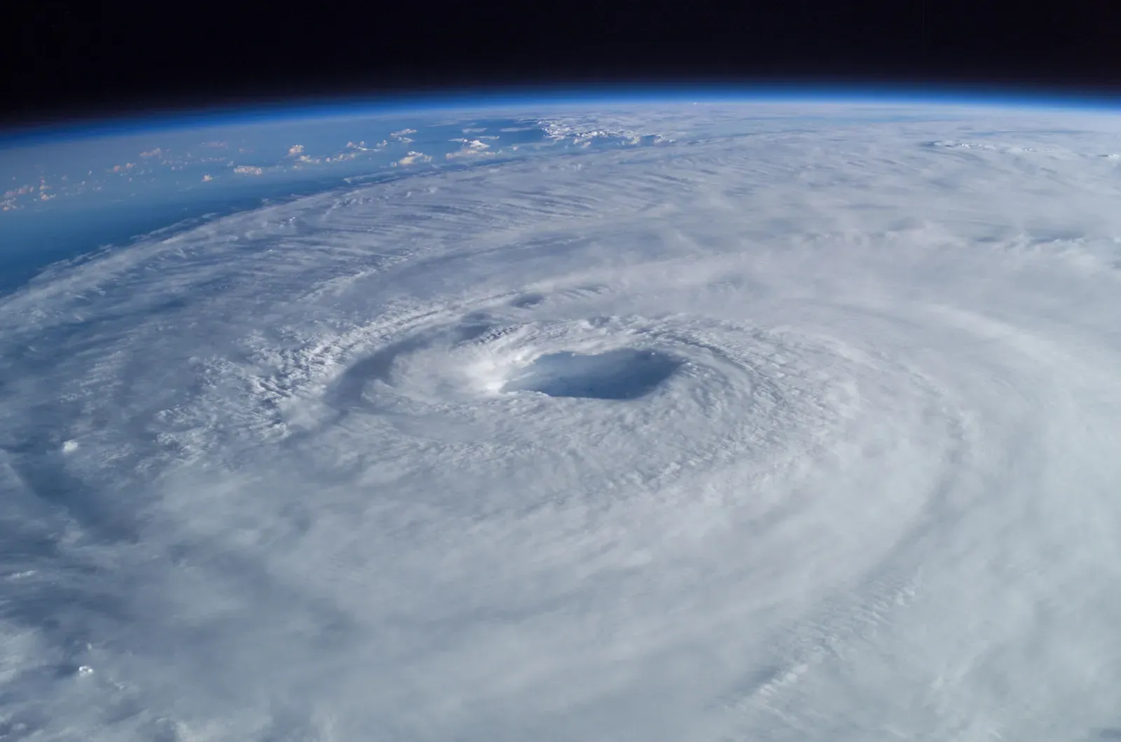
Fox Weather offers a basin-wide count. It says Vance would be the basin’s 10th Category 3 or stronger storm this year if it reaches major status. AccuWeather’s count is 11, because it includes the central Pacific as well. The two tallies use different definitions of the region.
Vance follows Polo, Simon, Rachel and Trudy. Fox Weather also counts it as the 13th hurricane in the Pacific Basin this season.
The Track Question: Offshore or Toward Mexico?
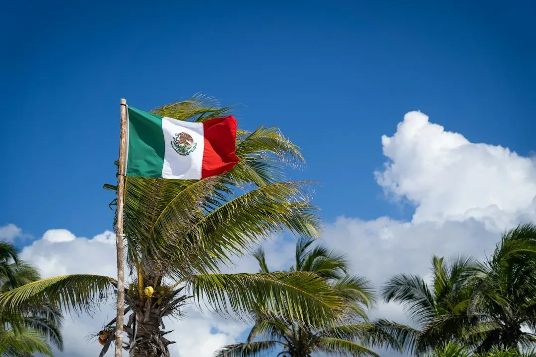
Forecast models suggest Vance could first move northwest and then turn somewhat back toward Mexico. AccuWeather’s Alex DaSilva says there is some risk of a northeast turn toward the west-central coast, instead of the storm paralleling the shoreline at sea.
He also says Vance may spend most or all of its life as a hurricane over open eastern Pacific waters. Meanwhile, multiple scenarios remain on the table, from the worst staying at sea to a direct hit on Mexico. The uncertainty is real, and no landfall is guaranteed.
What Impacts Are Possible Even If It Stays Offshore
If the eyewall stays offshore, most impacts would be building surf and overwash along the coasts of Guerrero, Michoacán, Colima and Jalisco. Outer bands could still bring gusty winds and downpours next week.
If Vance stays at sea, AccuWeather expects gusts of 40 to 60 mph along the west-central Mexican coast from Tuesday to Thursday, with a local maximum near 70 mph. Offshore hurricanes can still bring heavy rain, rough surf and gusty winds to Mexico’s Pacific coast. That’s why forecasters urge people there to keep watching.
What to Watch Next
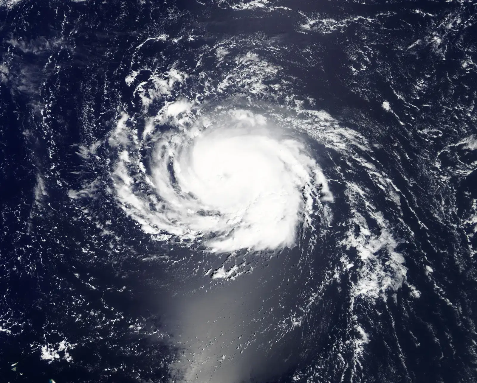
Three things will shape the outcome: how strong Vance gets, how long it takes to turn, and how close it comes to shore. AccuWeather lists wind shear, steering winds and nearby weather systems as factors that could influence the track.
Residents along the coast should follow official advisories and local civil protection guidance. Forecasts several days out can shift, and the official hurricane center track should take priority over any single outlet’s outlook. If the turn toward Mexico doesn’t happen, Vance will still have been a notable late-season storm in a very active year.
Conclusion
Vance is on track to become a major hurricane, and its strength looks more certain than its path. The coming days will show whether it stays offshore or turns toward Mexico, and official updates will be the most reliable guide.
