


- Real Estate Analysts Just Changed Their Mind About the Safest Places to Buy – Here’s Why - November 12, 2026
- Black Holes Firing Beams at Near-Light Speed – 5 Cosmic Engines Warping Spacetime - November 12, 2026
- Silent Rogue Worlds Drifting in Total Dark – 6 Planets Ejected From Their Star Systems - November 12, 2026
Josephine is the 10th named storm of the 2026 Atlantic season, and it’s now moving away from the U.S. coast. It’s still expected to track close enough to bring rain and wind from southeastern Massachusetts northeastward into much of coastal Atlantic Canada through Saturday. Forecasters are also watching another disturbance in the Atlantic.
This article reflects forecasts issued on October 22, 2026. Conditions can change quickly, so check the National Hurricane Center and Environment Canada for the latest updates.
How Josephine Came Together
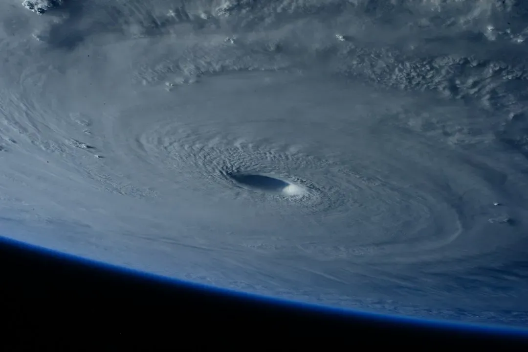
The former nor’easter gained some tropical characteristics over the warm Gulf Stream waters this week. That let it become a named storm, the 10th of the 2026 Atlantic hurricane season. The system had been spinning off the Atlantic coast for days before it organized into Subtropical Storm Josephine on Wednesday.
A subtropical storm is a hybrid. Unlike purely tropical systems, subtropical storms have their strongest winds farther from the center. That helps explain why Josephine’s wind field is so broad.
Where the Storm Stands
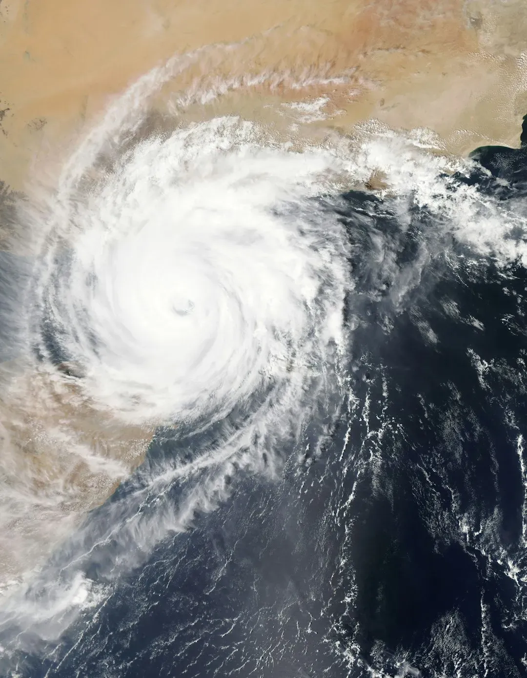
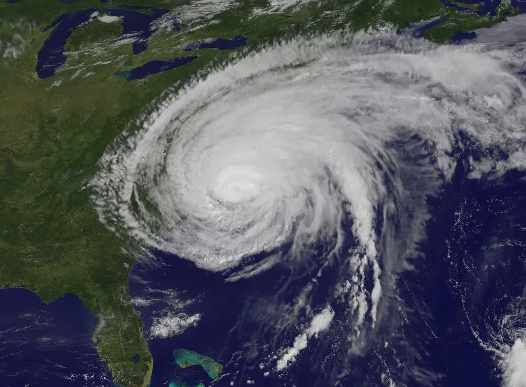
On Thursday morning, Josephine was about 200 miles southeast of Nantucket, Massachusetts, and 420 miles south-southwest of Halifax, Nova Scotia. It was moving northeast at 12 mph with maximum sustained winds of 65 mph. Winds of 40 mph extended out up to 415 miles from the center.
By the evening update, it had been reclassified as Post-Tropical Cyclone Josephine, located about 335 miles south-southwest of Halifax and moving northeast at 17 mph. The maximum winds were unchanged at 65 mph.
Why It Won’t Be Called a Hurricane
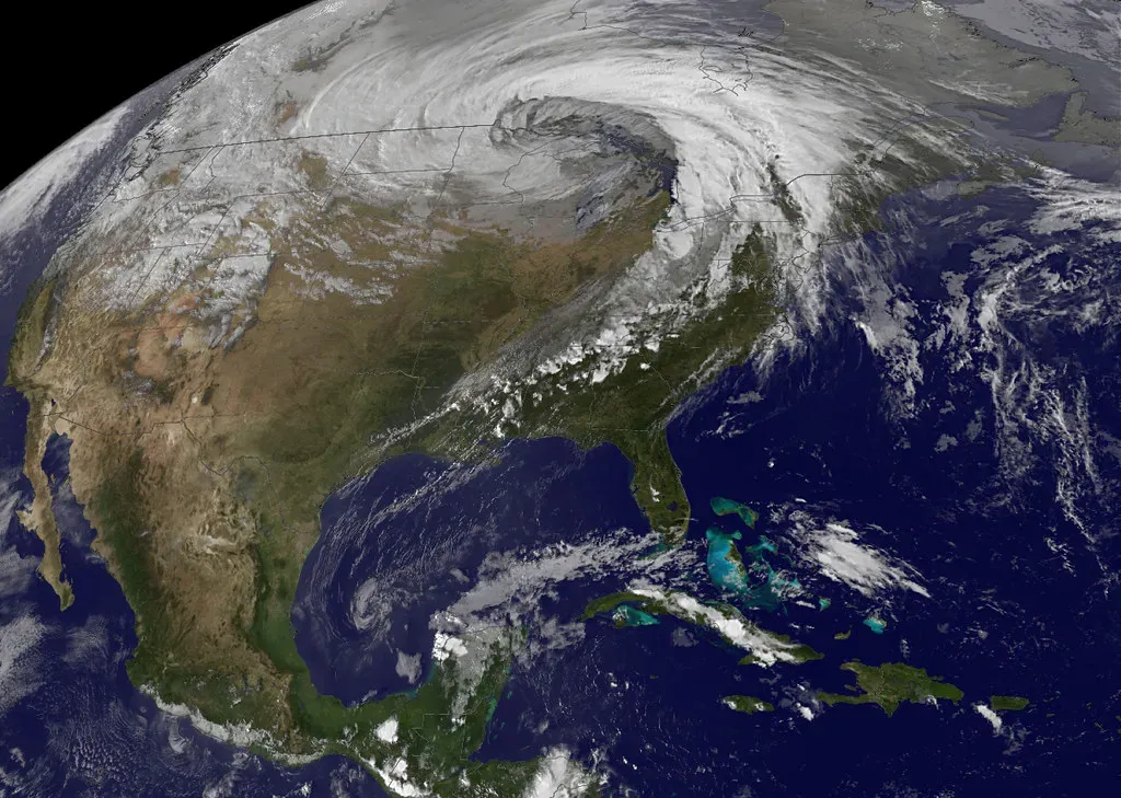
Forecasters expect strengthening. Josephine is expected to become a powerful extratropical cyclone with hurricane-force winds tonight or early Friday. That sounds alarming, but the label matters.
Even if its sustained winds reach hurricane strength, Josephine wouldn’t be designated a hurricane unless its structure changed from subtropical to tropical, which isn’t expected. The NHC defines a hurricane as a tropical cyclone with sustained winds of at least 74 mph. A storm can have hurricane-force winds without meeting that definition.
What Atlantic Canada Should Expect
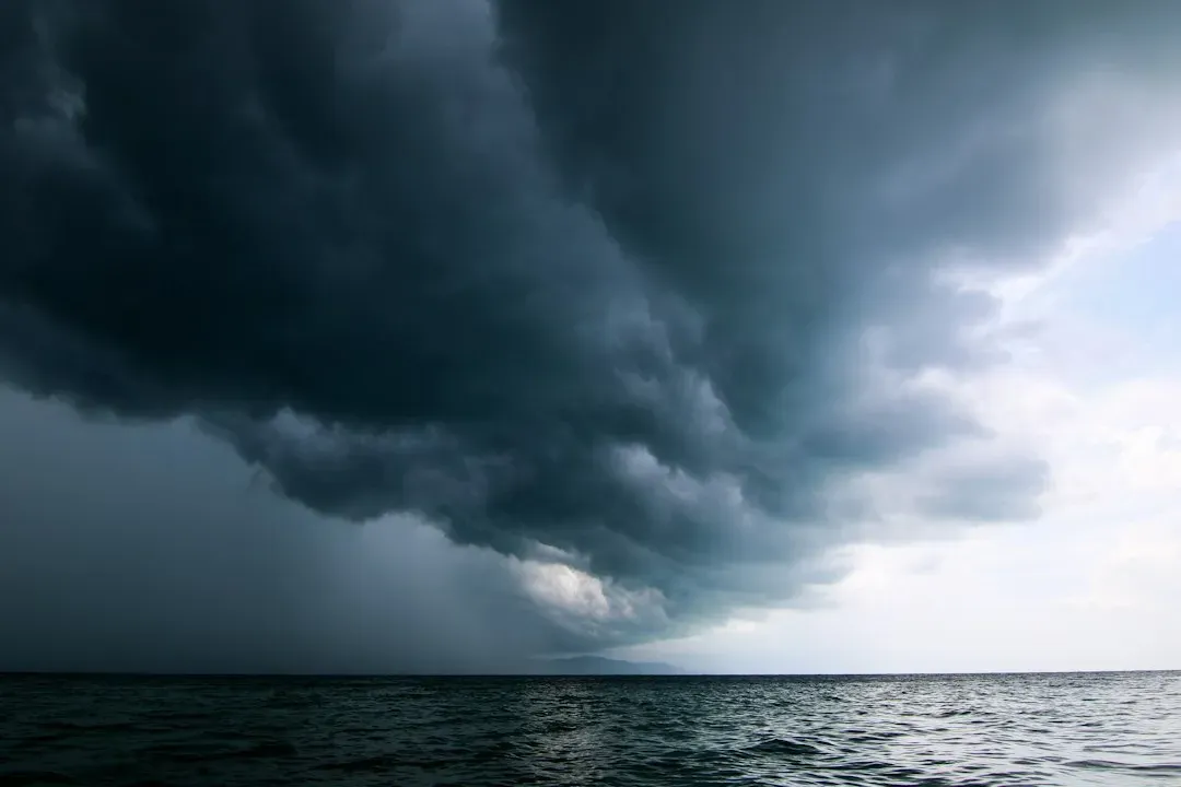
The center is forecast to stay offshore. It should remain south of Nova Scotia and Newfoundland, passing south of Newfoundland late Friday into Friday night. Even so, its size means the effects will reach land.
The Weather Network says the system will swipe southern Atlantic Canada with potent wind gusts, heavy rainfall, snowfall and three- to five-metre waves along the coast, raising the flood risk. Nova Scotia and Newfoundland are the areas most likely to see the strongest conditions. Yale Climate Connections notes the expanding wind field could bring stronger sustained winds to Nova Scotia on Friday.
Impacts Along the U.S. Coast
There are no coastal watches or warnings for Josephine. Local National Weather Service offices along the Mid-Atlantic and Northeast coast have kept issuing coastal flood and wind alerts. That’s one reason the NHC chose not to add its own.
Large swells are still hitting much of the eastern seaboard of the U.S. and Canada, with life-threatening surf and rip-current conditions. AccuWeather also expects rough surf, beach erosion and minor to moderate coastal flooding at high tide from North Carolina to Massachusetts into Thursday evening. Those hazards will persist along the eastern Massachusetts coast into Friday.
The Next System to Watch
Forecasters are tracking a second area. It’s a trough of low pressure several hundred miles east-southeast of Bermuda, producing a large area of disorganized showers and thunderstorms. The NHC gave it a 10% chance of developing over the next two to seven days.
The window for development looks short. Some development is possible through Friday while it moves slowly north-northeastward, but upper-level winds should become too strong by the weekend. AccuWeather’s headline mentions two areas of possible development, and it says new tropical threats may arise farther south, with building seas and surf from Florida to the Carolinas through next week.
Southeast Coast Winds and High Tides
Another coastal concern is developing farther south. A strong high-pressure system to the north and low pressure offshore will set up strong onshore winds along the Southeast U.S. coast, just before the king tides. That combination can worsen coastal flooding even without a named storm.
Winds of 25 to 35 mph are predicted along the Southeast coast on Sunday. Residents in low-lying areas should watch local tide forecasts.
A Busier Season Than Predicted
Josephine’s arrival says something about this season. As the 10th named storm, it has passed Colorado State University’s August forecast of nine named storms for the whole season. NOAA had updated its own outlook in August to expect seven to 13 named storms.
Seasonal outlooks are projections, not limits on how many storms can form. The next name on the list is Kyle.
Conclusion
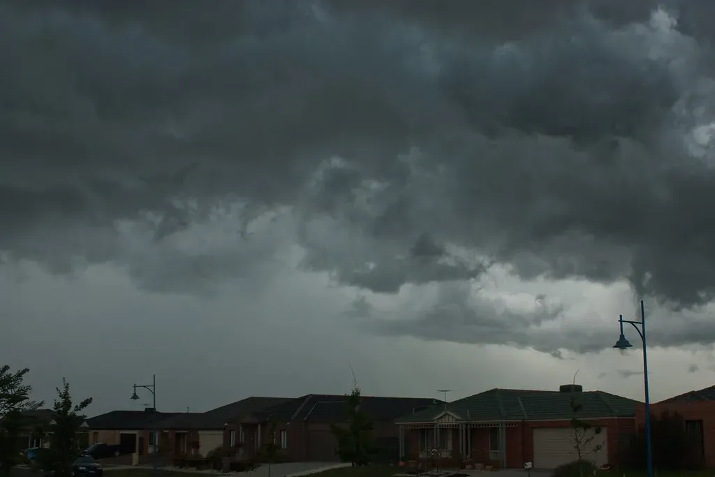
Josephine is a large, fast-moving system that’s expected to stay offshore while still bringing wind, rain, high surf and flooding risk to parts of Atlantic Canada. The second Atlantic disturbance has low odds of developing for now. The more reliable concerns are rough seas and coastal flooding along the U.S. East Coast.
The storm’s name matters less than its effects. Check official local alerts before heading to the coast.
